This is a page within Roger and Linda's Southwater Downs Web-Site.
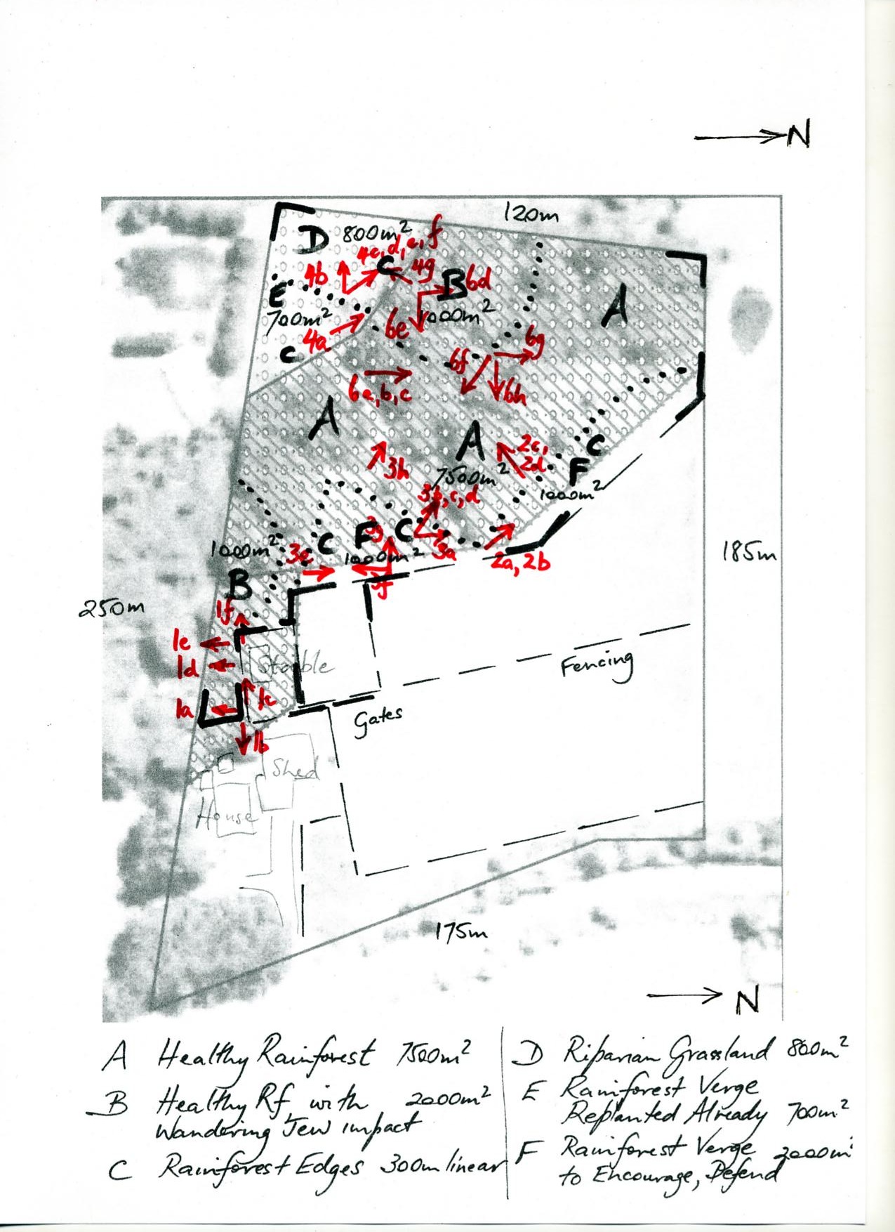
Southwater Downs is an 8-acre property on the escarpment 4km east of Robertson, in southern N.S.W. 3 acres are Robertson (lilli pilli) rainforest, and subject to a Conservation Agreement.
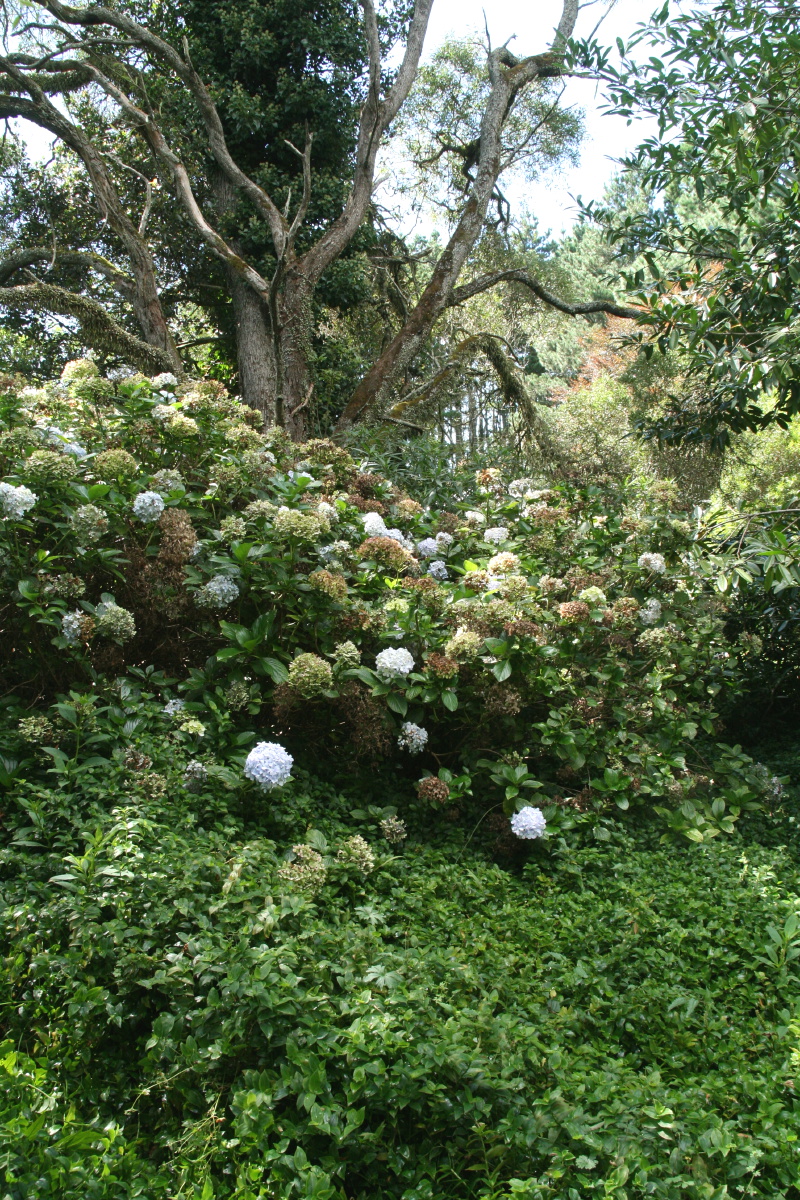
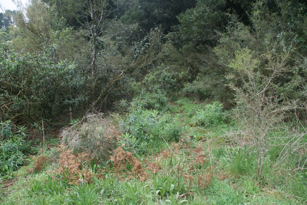
This page shows the condition of the forest, focussing particularly on the edges, but including the insides.
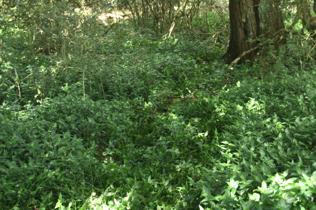
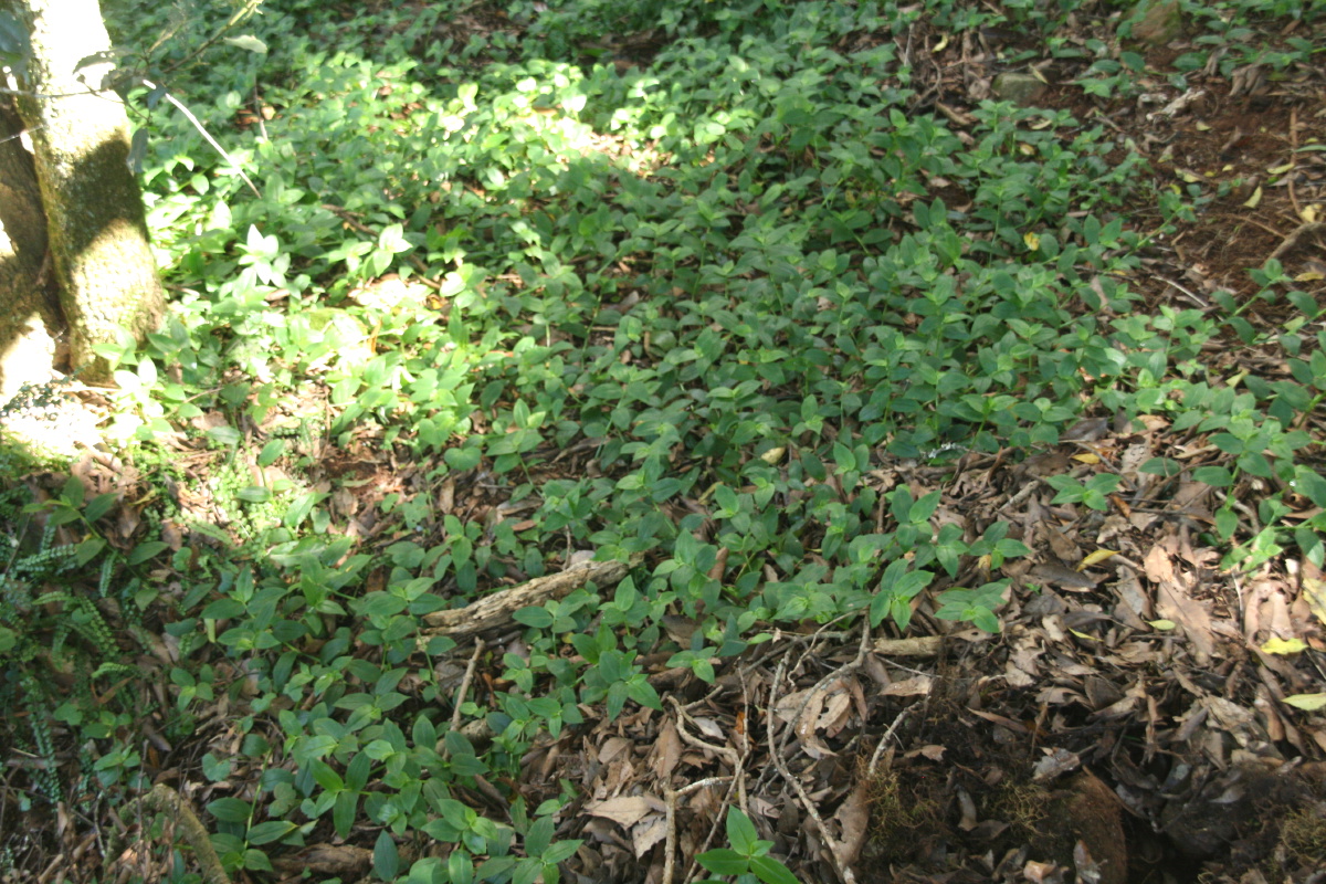
The page also doubles as the control for treatment of the Trad flum, which in 2012-13 carpeted 40% of the forest.
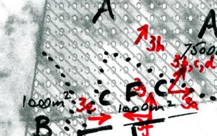
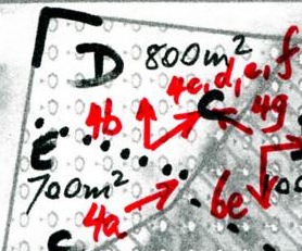
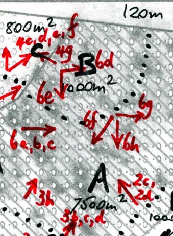
The segments are:
|
|
All images are thumbnails – click to display a larger copy
1. Behind the House
|
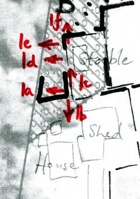 |
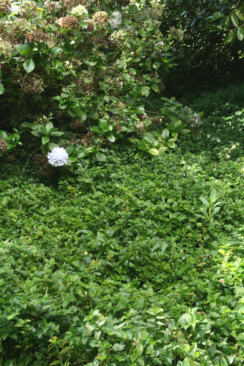
The rectangle bounded on the east by the house, on the north by the stable, and on the south by the fence, is difficult to defend against human depradations. But despite that it still contains a lot of conservation value, and appears to be a remarkably robust buffer-zone.
 |
 |
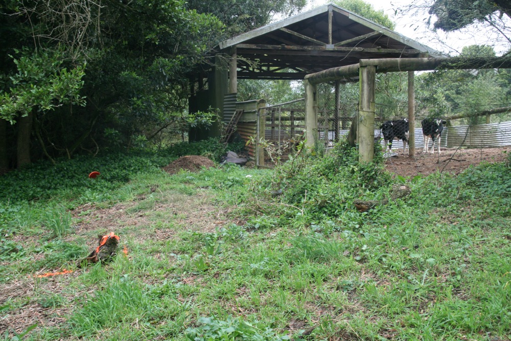 |
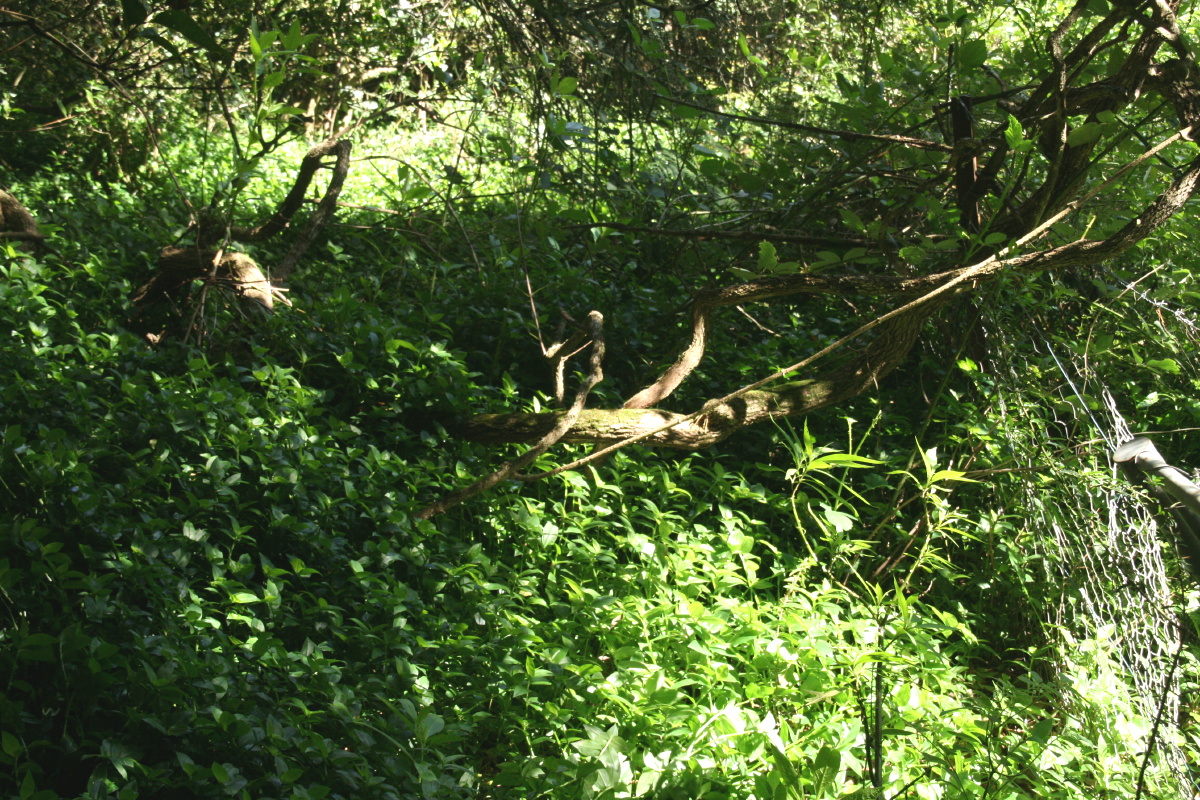
Looking S along the Eastern Boundary from the NE corner |
Looking E towards the house from the NE corner |
Looking W behind the stable from the NE corner |
GPS coords: 56H 0282212, UTM 6171696, Elevation 726m
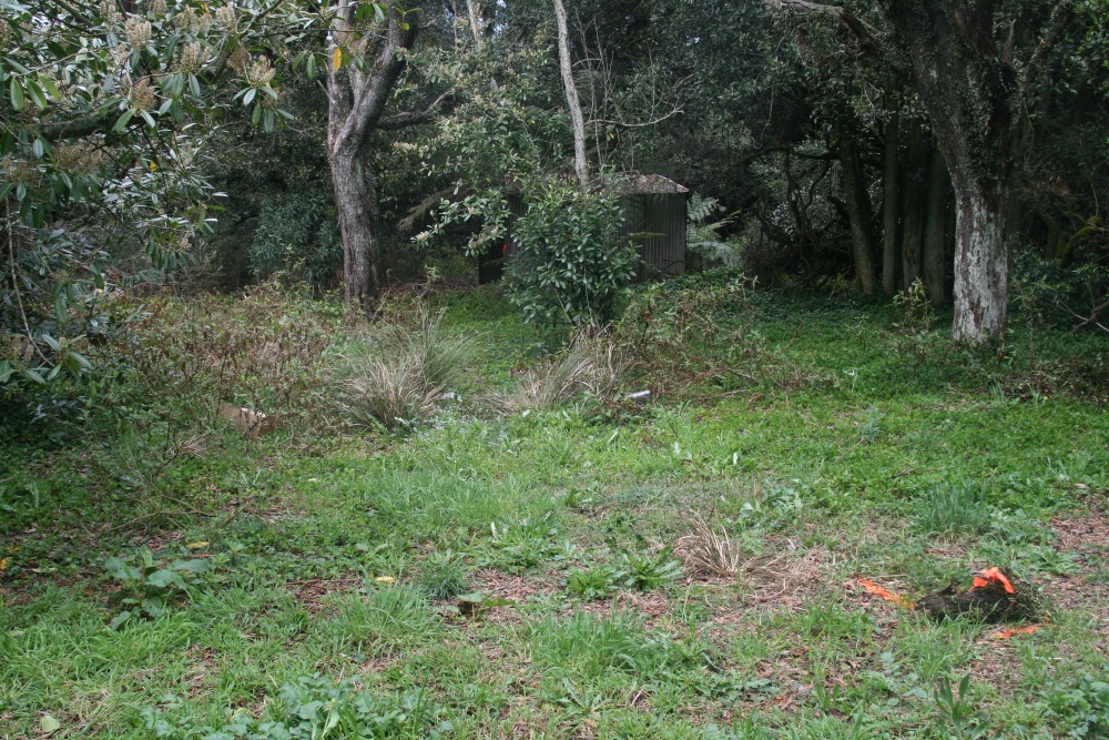
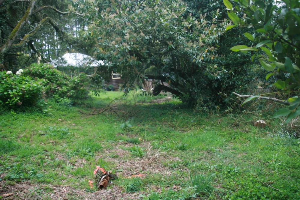
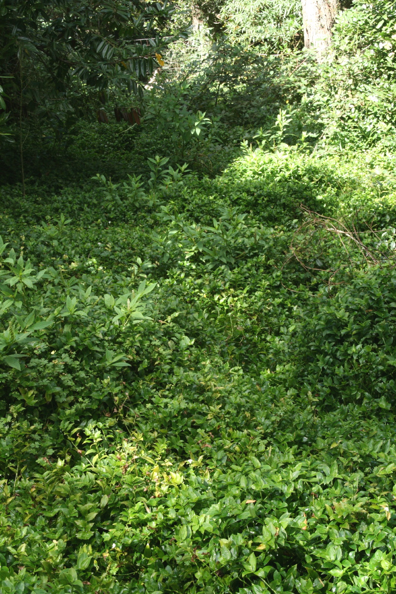
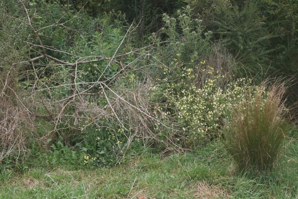
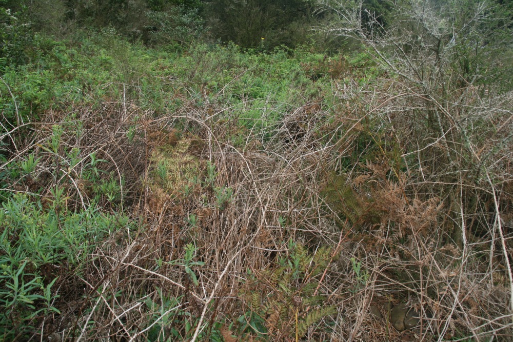
The area was test-treated once, using three different approaches, which made very little difference. The Trad. is awfully healthy:
 |
 |
||
Location Shot: Eastwards |
Location Shot: NW |
||
 |
 |
 |
 |
Looking N, 5m centred |
N, 3m centred |
E, 3m centred |
W, 3m centred |
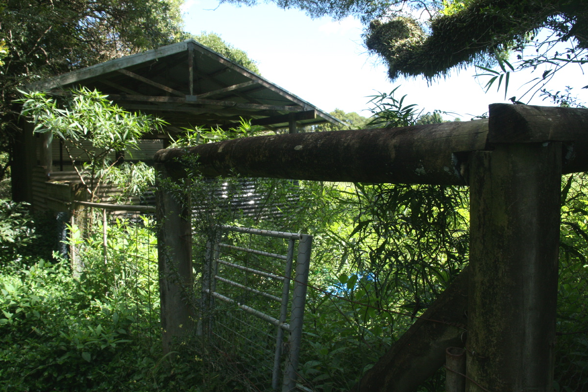
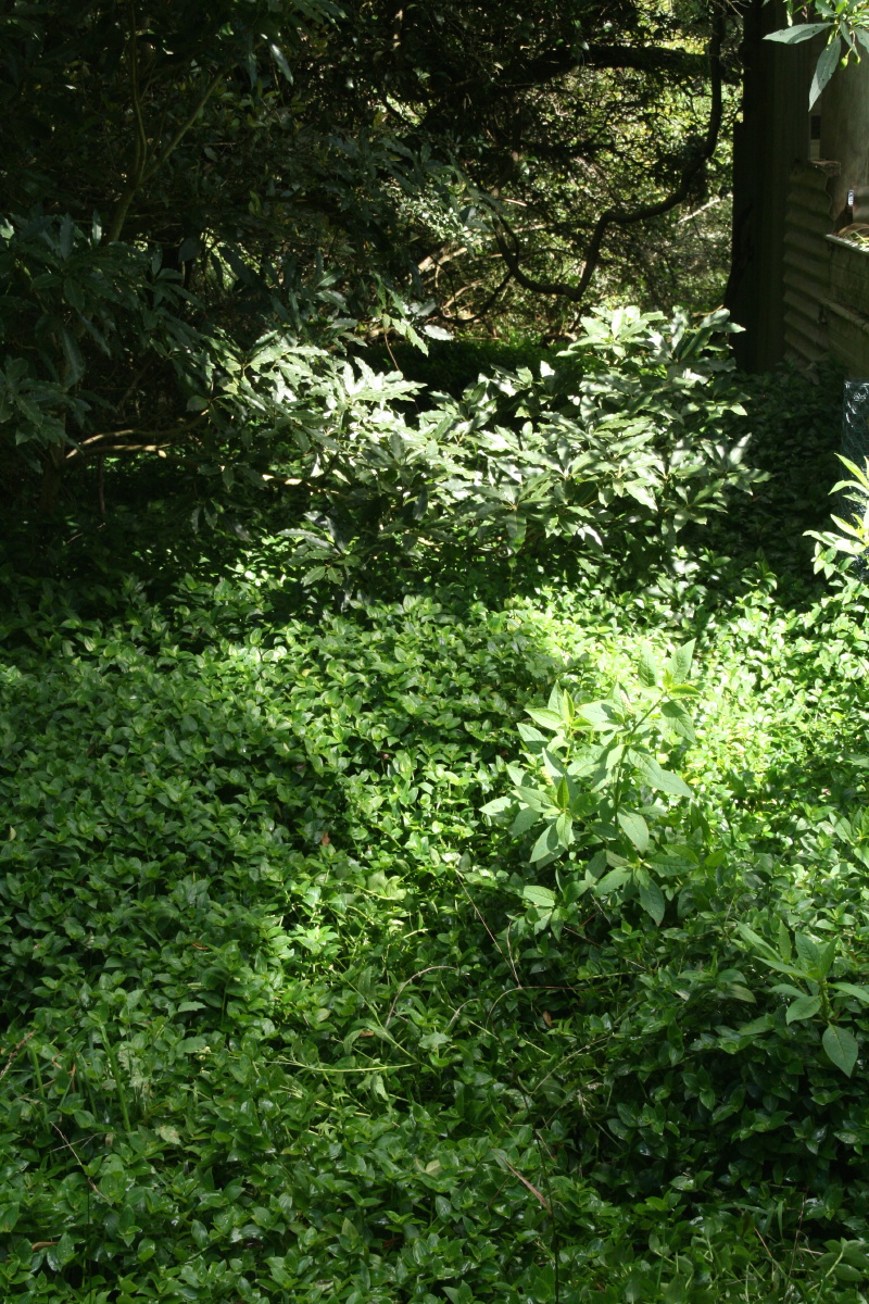
1B. Behind the Stable
|
|
 |
 |
 |
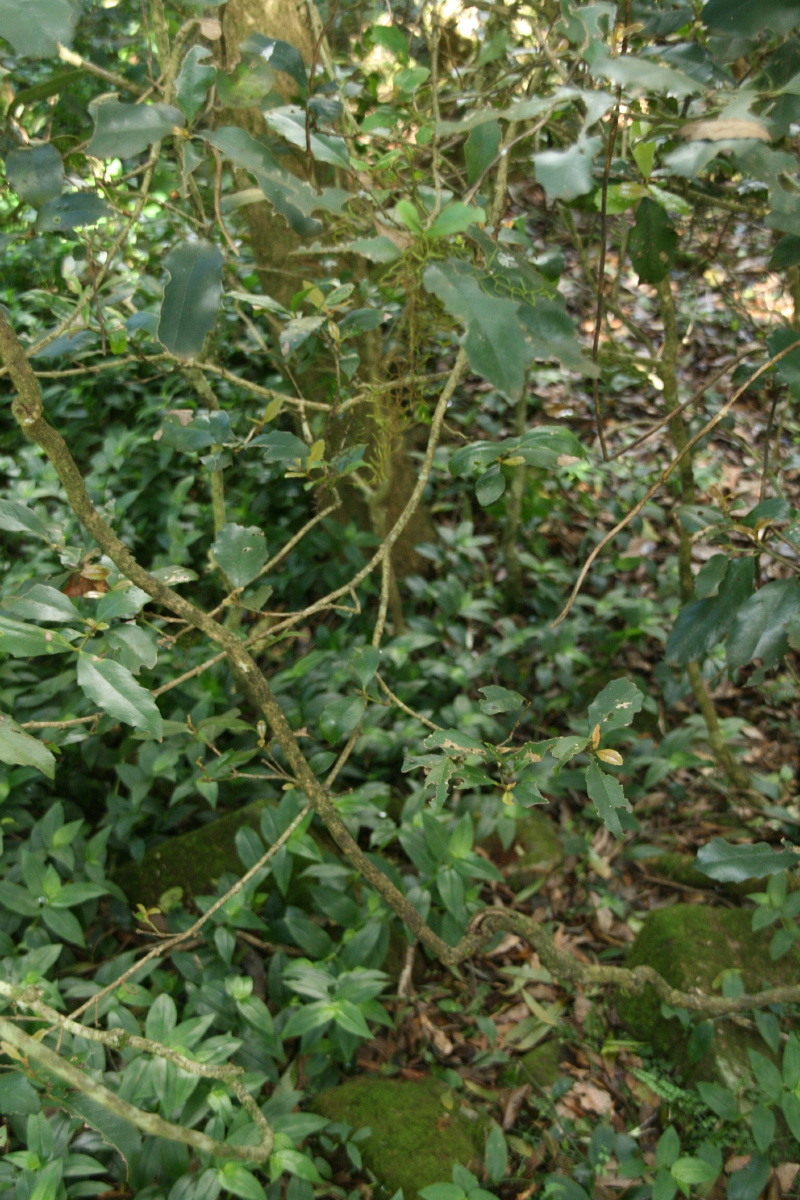
Looking S 10m from the N edge, behind the stable |
Looking S from behind the stable |
Looking W from behind the stable |
GPS coords: 0282 208, 617 1699, Elevation 724m
 |
 |
 |
Location Shot: Looking N |
Looking S, 3m centred |
Looking W, 3m centred |
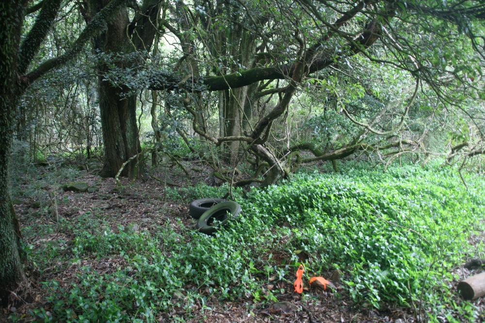
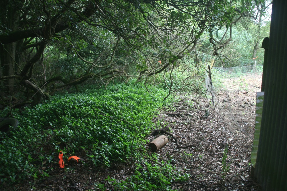
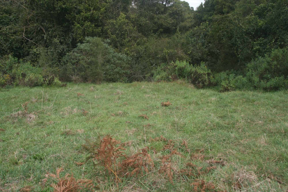
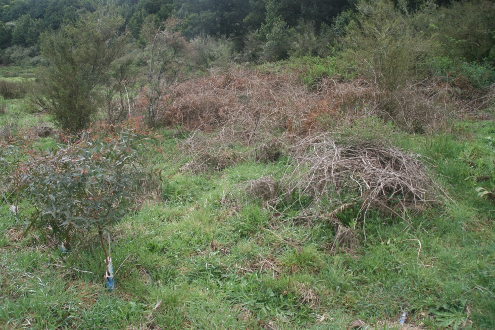
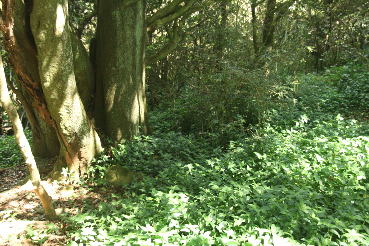
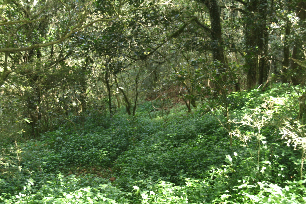
1C. 30m Down the HillReference Photos – March 2013 |
GPS coords: 0282152, 617 1705, Elevation 719m
 |
 |
 |
 |
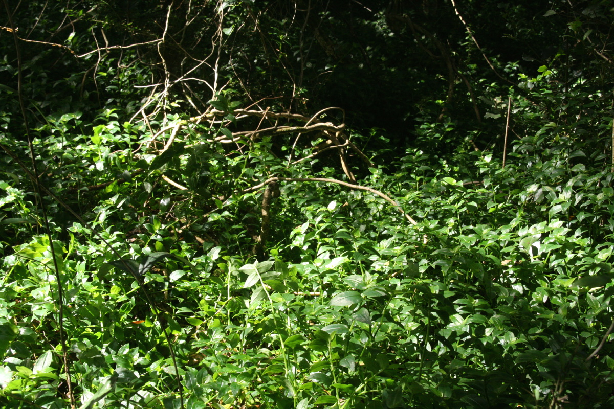
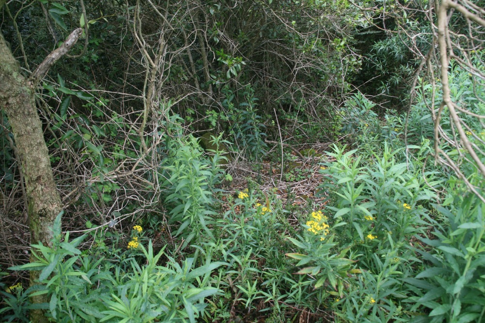
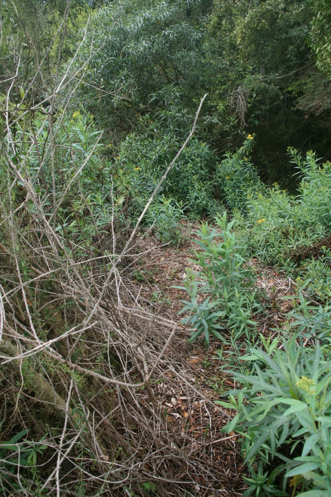
Location Shot: Downwards at the leading edge of the Trad |
Looking E, 2m centred |
Looking W, 5m centred |
Looking N, 5m centred |
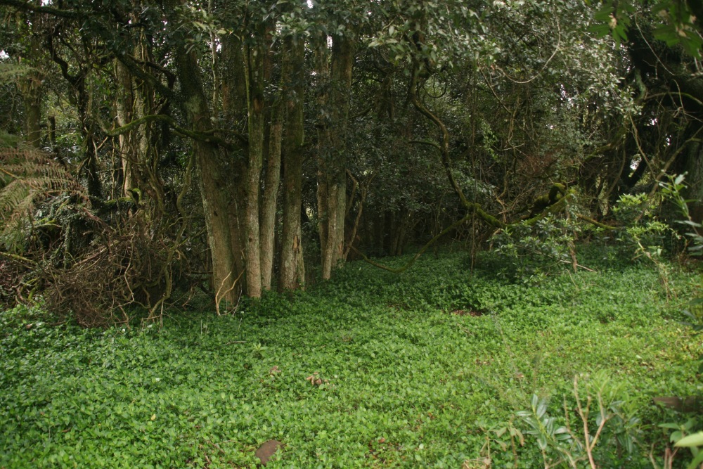
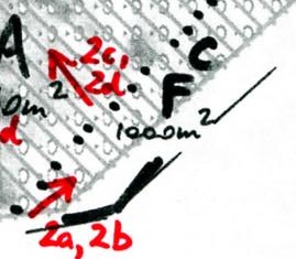
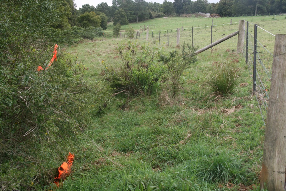
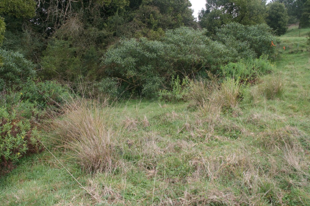
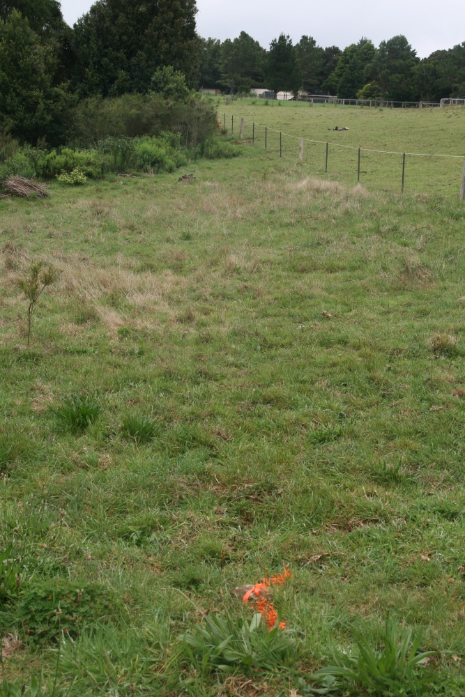
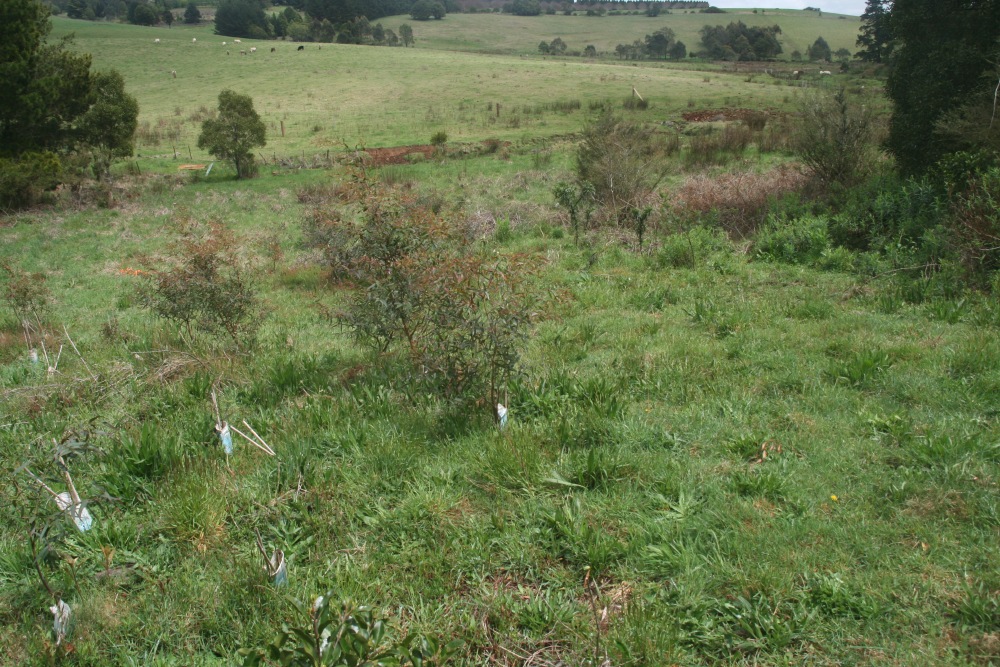
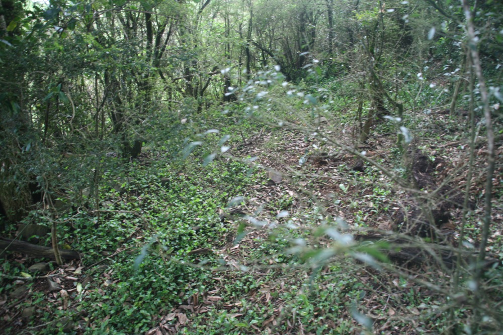
2. The Paddock BoundaryReference Photos – October 2010 |
 |
 |
 |
 |
 |
2a. Looking NW, along the E boundary ... |
2b. ... in more detail |
2c. Effects of the 2010 rubucide project ... |
2d. ... continued |
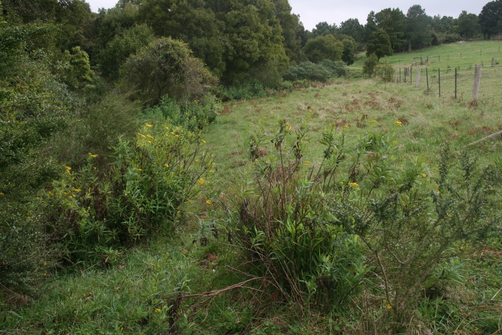
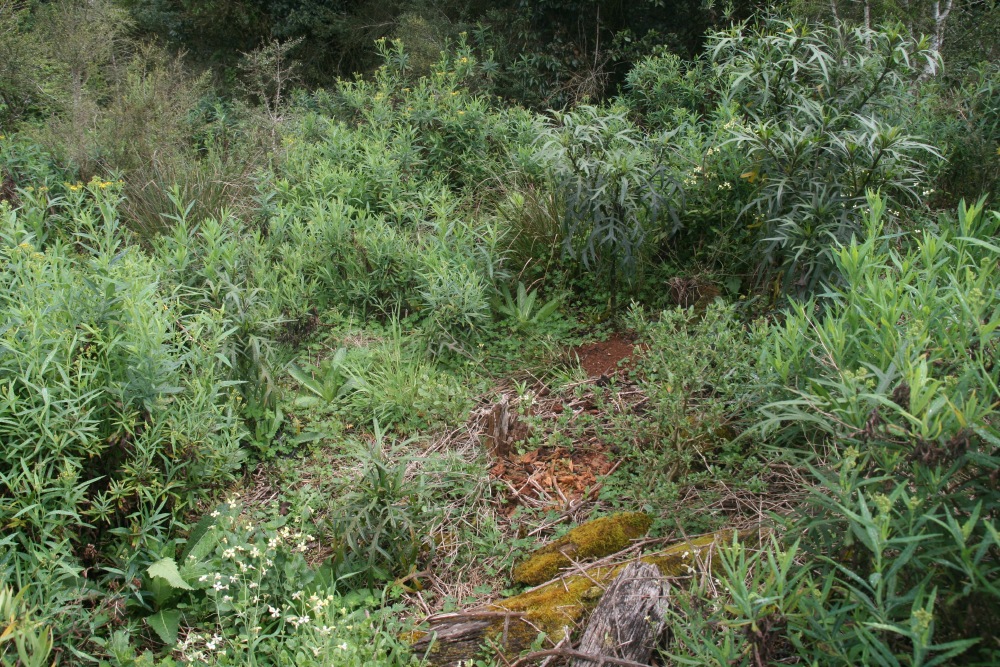
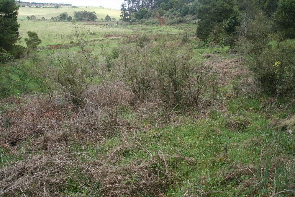
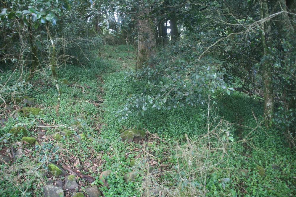
3. The Central Clearing and Path DownReference Photos – October 2010 |
 |
 |
 |
 |
 |
3a. Looking N to upper Nthn side of the central clearing |
3b. Looking NW to upper Nthn side of the central clearing, looking upwards ... |
3c. ... and looking downwards at 2010 rubucide ... |
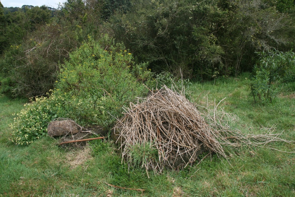
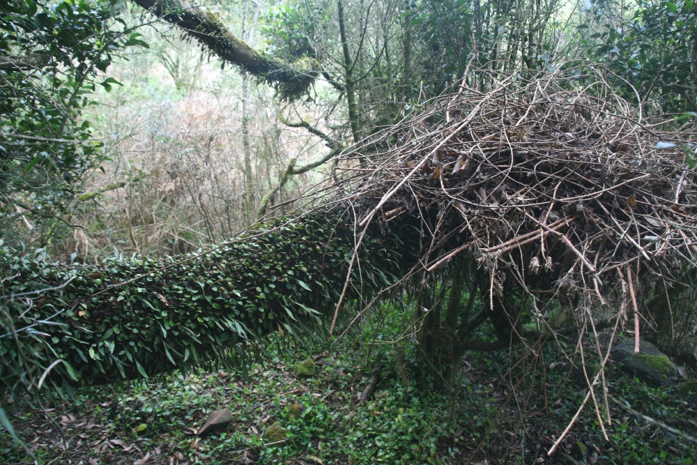
3d. ... and the cane-stack |
 |
 |
 |
 |
3e. Looking N across the central clearing |
3f. Looking S to upper Sthn side of the central clearing |
3g. Looking W at the lower side of the central clearing |
3h. Halfway down the path, N side, 2010 rubucide |
4. The Riparian ClearingReference Photos – October 2010 |
 |
 |
 |
 |
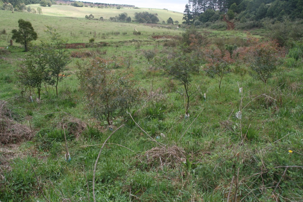 |
4a. Low down path, looking NW, after 2010 rubucide |
4b. Bottom of path, looking W, with 2010 plantings |
4c. Bottom of path, looking NW, showing 2010 rubucide ... |
4d. ... plantings plus natural growth |
 |
 |
 |
|
4e. Looking NW along |
4f. Looking NE into forest, with 2010 rubucide |
4g. Just inside edge, looking outwards with cane-stack |
5. Inside the Small Southern ForestReference Photos – October 2010 |
|
Oops, none taken in Oct 2010!?
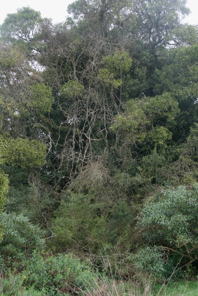
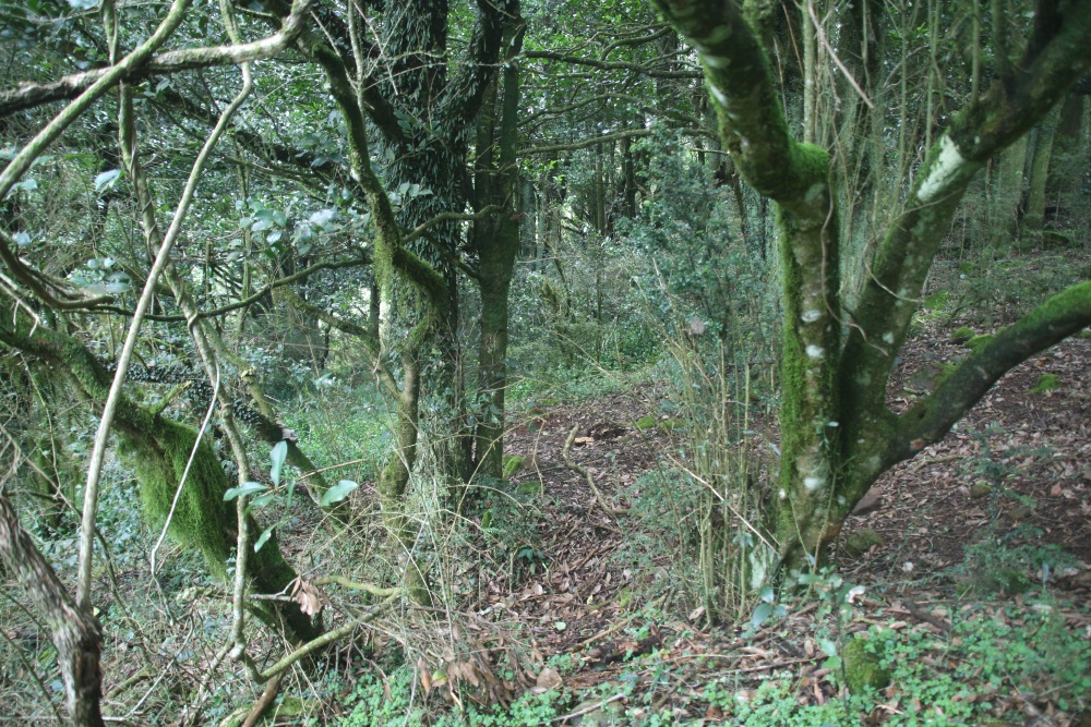
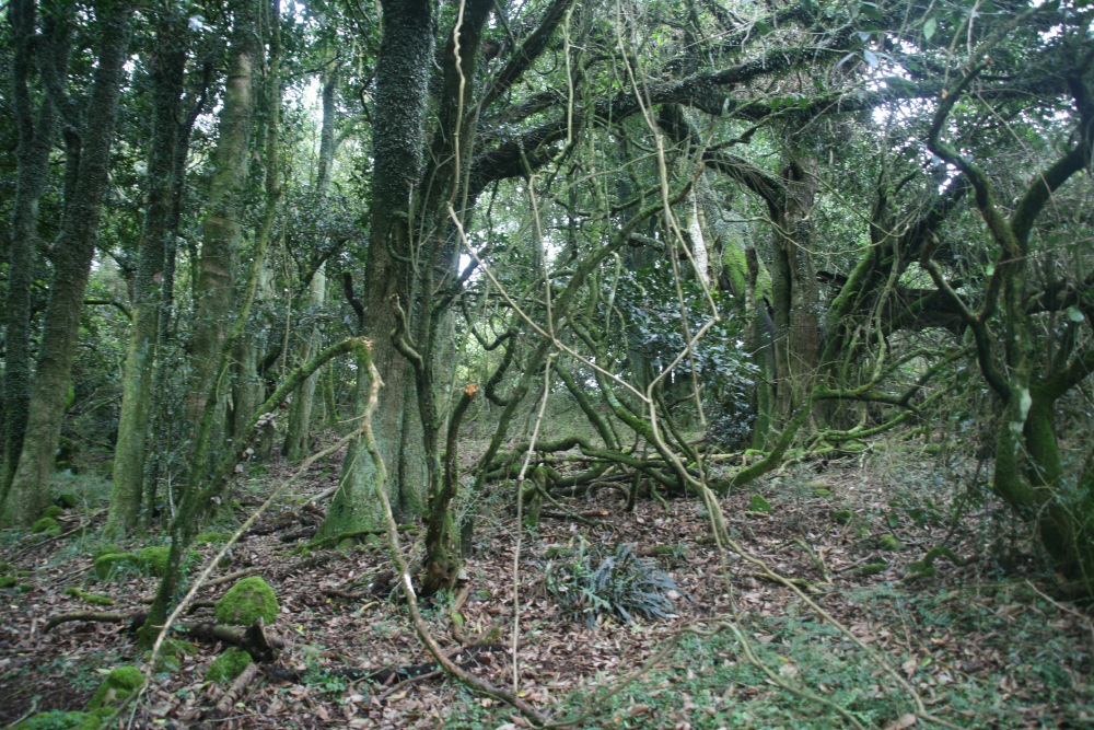
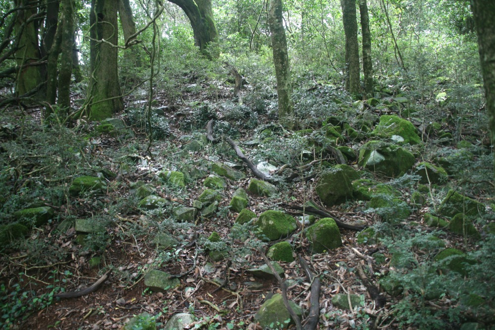
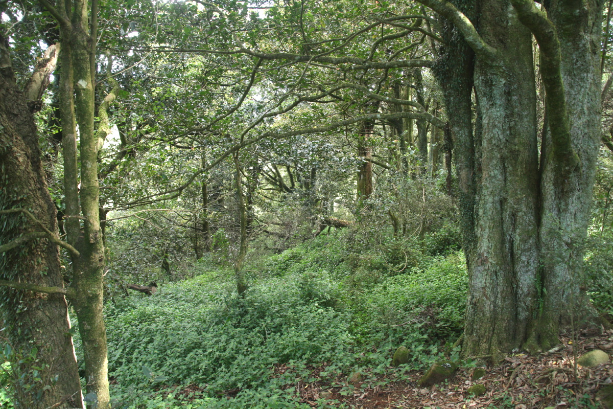
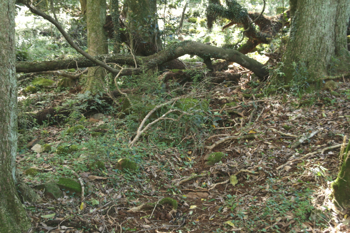
6. Inside the Larger Northern Forest – SWReference Photos – October 2010 |
 |
This position was based on a wombat-hole (but has since been replaced by the edge of the Trad in March 2013).
 |
 |
 |
 |
6a. Looking northwards, from halfway down the pathway ... |
6b. ... ditto ... |
6c. ... ditto |
6d. Just inside the W edge, looking N ... |
 |
 |
 |
 |
6e. ... looking E |
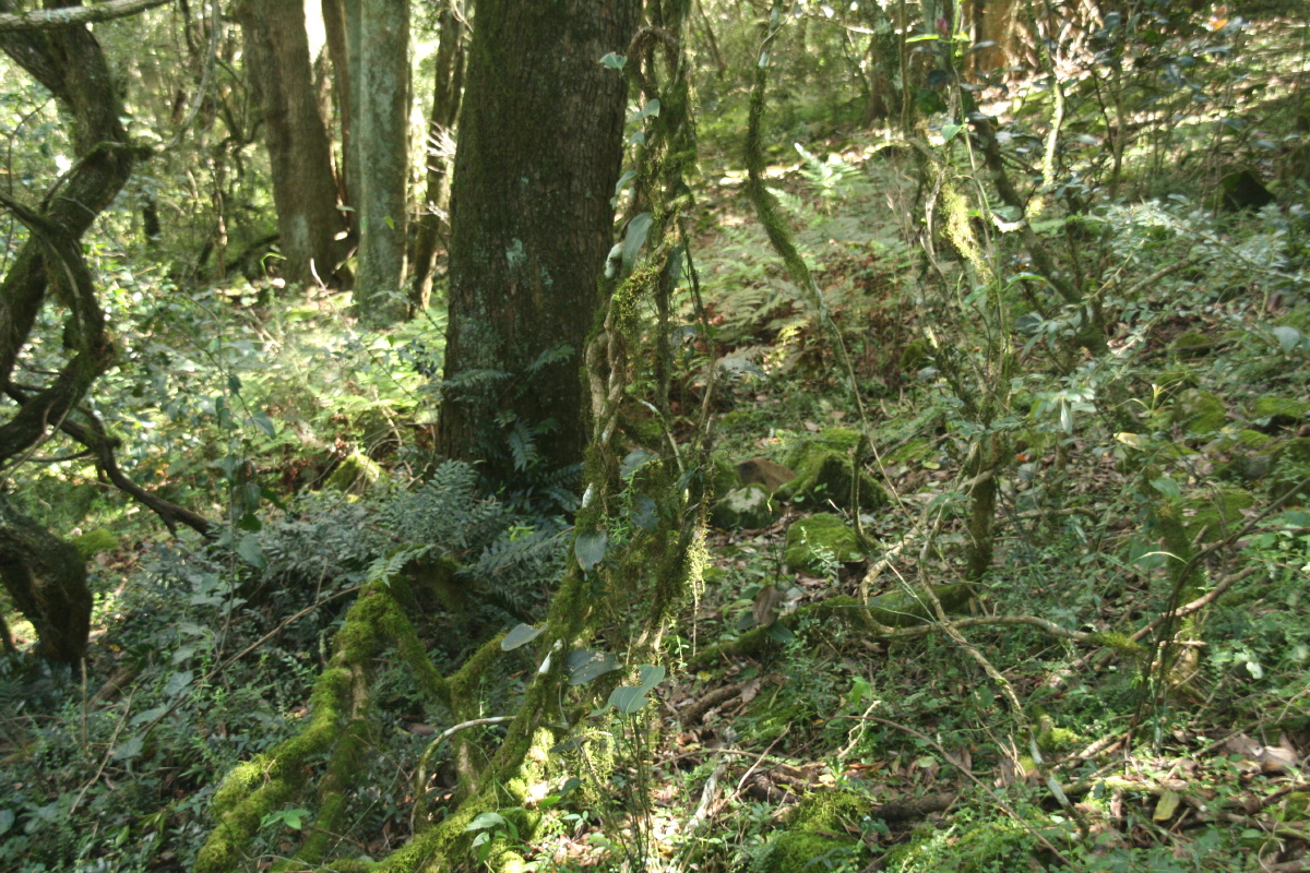
6f. Dead-centre, at the wombat-hole, looking SE ... |
6g. .. looking N ... |
6h. ... looking E |
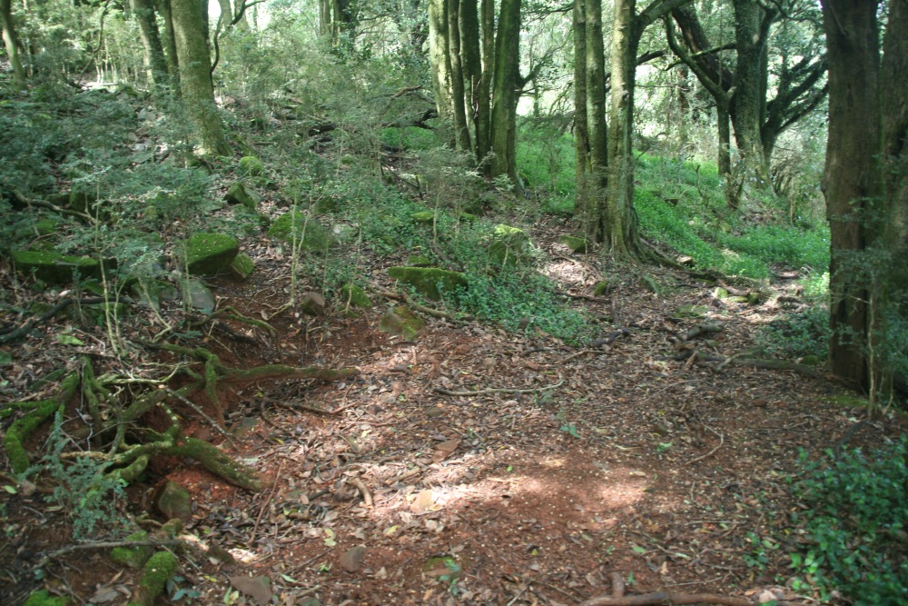
GPS coords: 028 2118, 617 1748, Elevation 721m
 |
 |
 |
 |
Location Shot: Downwards at the edge of the Trad |
Looking NW, 10m centred |
Looking E, 4m centred |
Looking N, 6m centred |
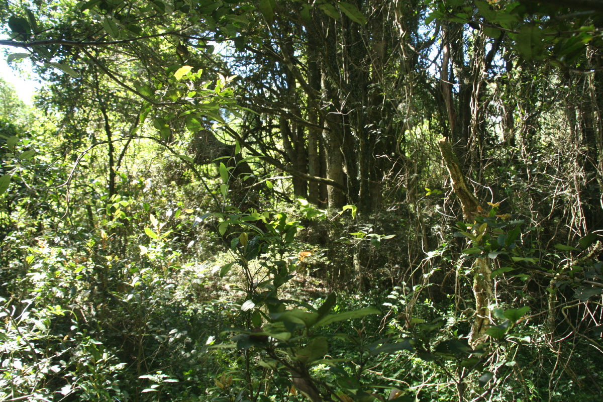
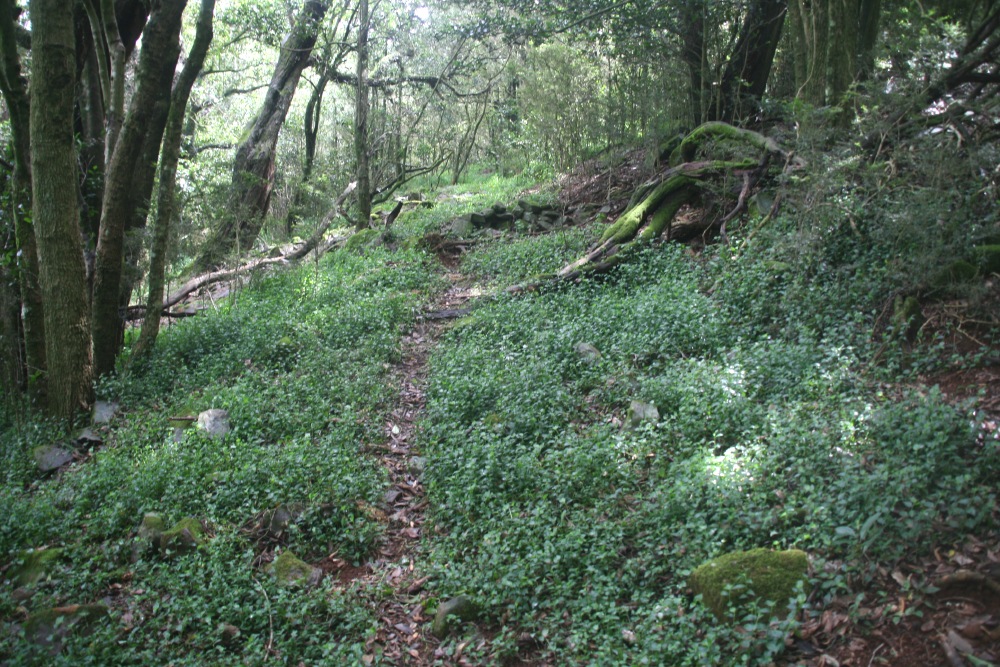
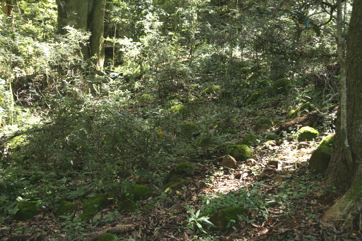
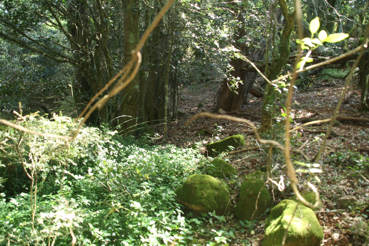
7. Inside the Larger Northern Forest – NEReference Photos – March 2013 |
No GPS coords taken!? Mossy rocks and trees, the edge of the Trad, 10m inside E forest-edge, 25m? from the fence
 |
 |
|
 |
Location Shot: As above |
Looking W, 6m centred |
Looking SW, down the line of the Trad edge |
Looking NW, 8m centred across the Trad |
This is a page within the Southwater Downs Web-Site, home-page here
Created: 15 October 2010; Last Amended: 21 March 2013