Walks – 2021
Following the COVID-19 year of 2020 was ... the COVID-19 year of 2021 ...
Click on any image to see a larger version
Australian Alps – 5-8 and 24-25 Jan 21
First a lots-of-family event, staying at Tigh na Bruaich for 4 nights, 4 short walks; and then a couple of days with native plants devotees Brigitta and Kris.
incl. Porcupine, Stillwell and again, Ramsheads and again, and Boboyan Trig. Useful area map here, also mirrored
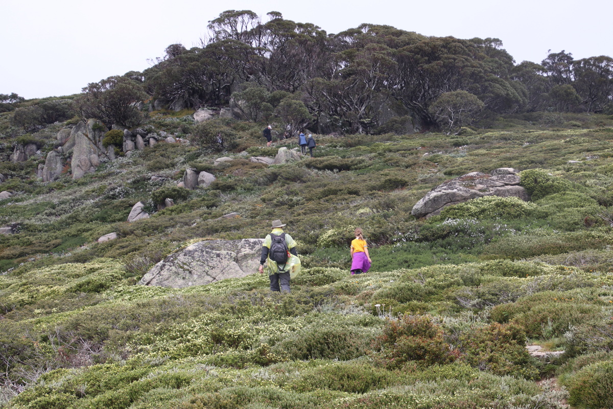
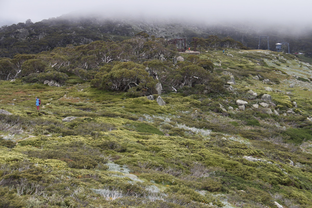
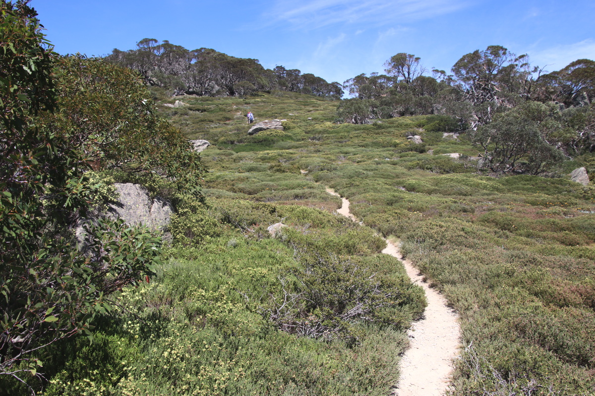
Porcupine Rocks – 5 Jan 21
5km return ex Perisher Valley, 1720-1925m, +/- 220m
|
|
|
|
Re-growth, post-2003 |
View from Porc Rocks
over Bullocks Flat ... |
... looking the other way |
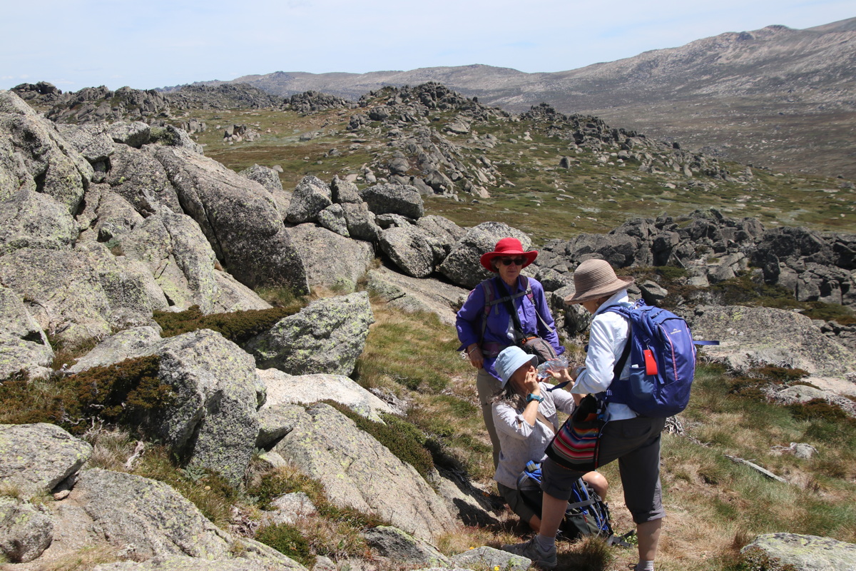
The saddle, northern side,
Kasia proprietorial |
|
|
|
|
Approaching Perisher |
Skeletons, re-growth,
lowering sky |
Mt Wheatley 1905m,
more skeletons |
Back up to the saddle |
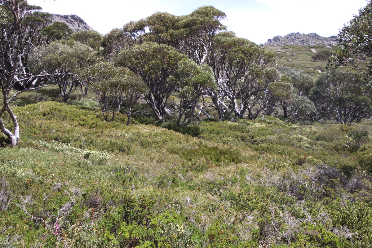
Mt Stillwell – 6 Jan 21
5km return ex Charlottes Pass, 1840-2040m, +/- 220m
|
|
|
|
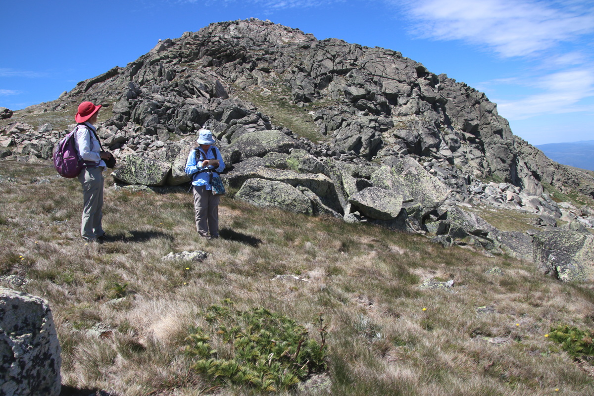
The Party, on the
incline above the Pass |
Back down to the Village
near the cloudline |
The mid-level rock gardens |
Snow-gum rock garden
at 1925m |
|
|
|
|
Troy up the steps |
Pentachondra pumila |
North to Mt Clarke |
Lifts old and new |
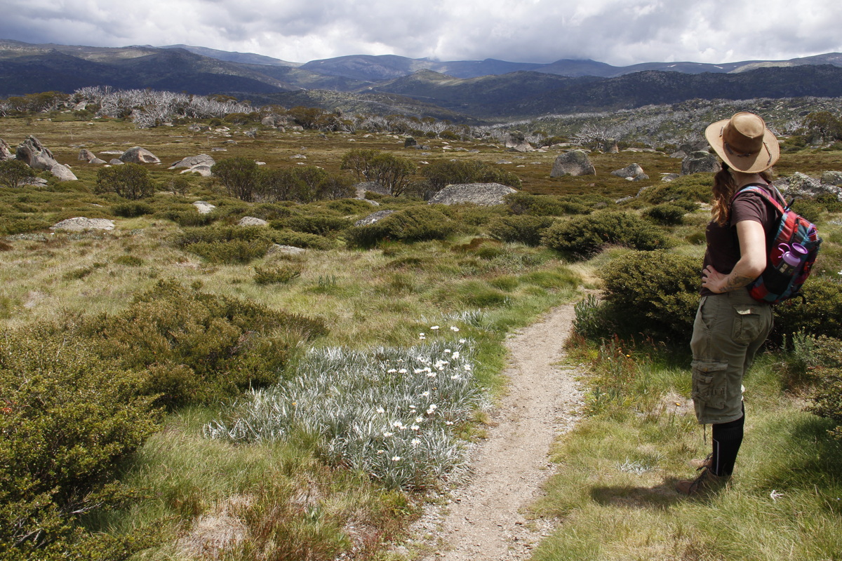
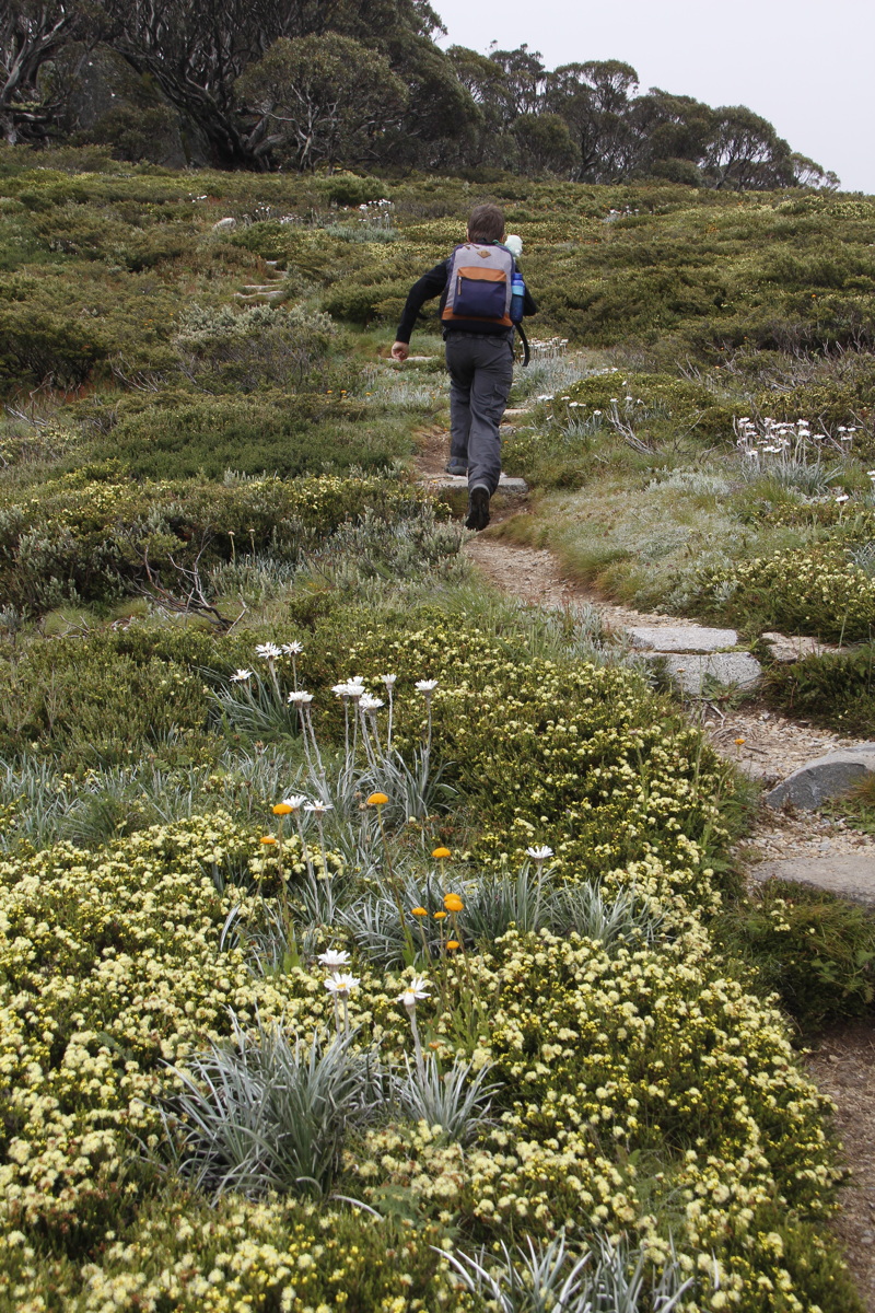
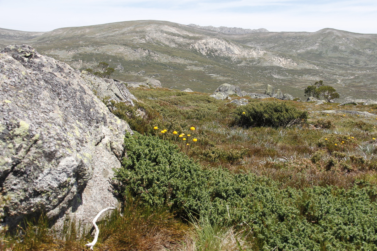
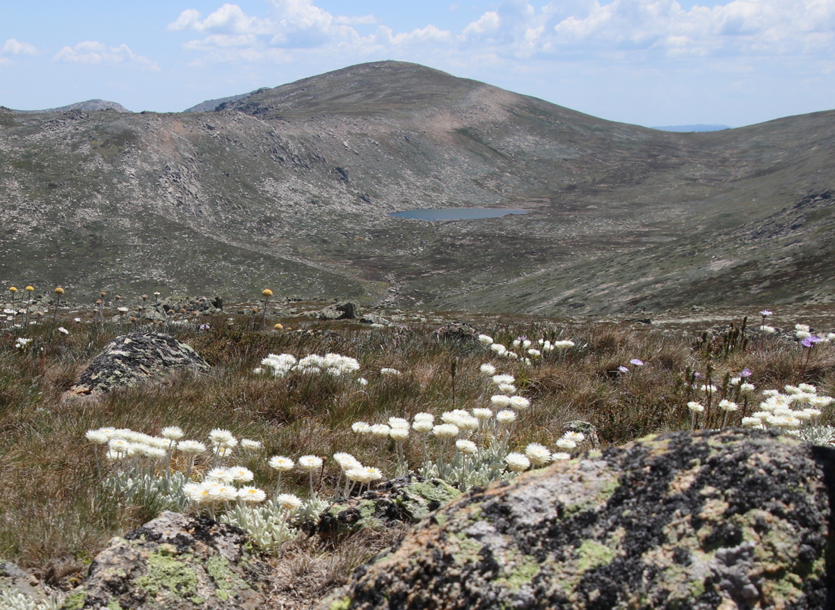
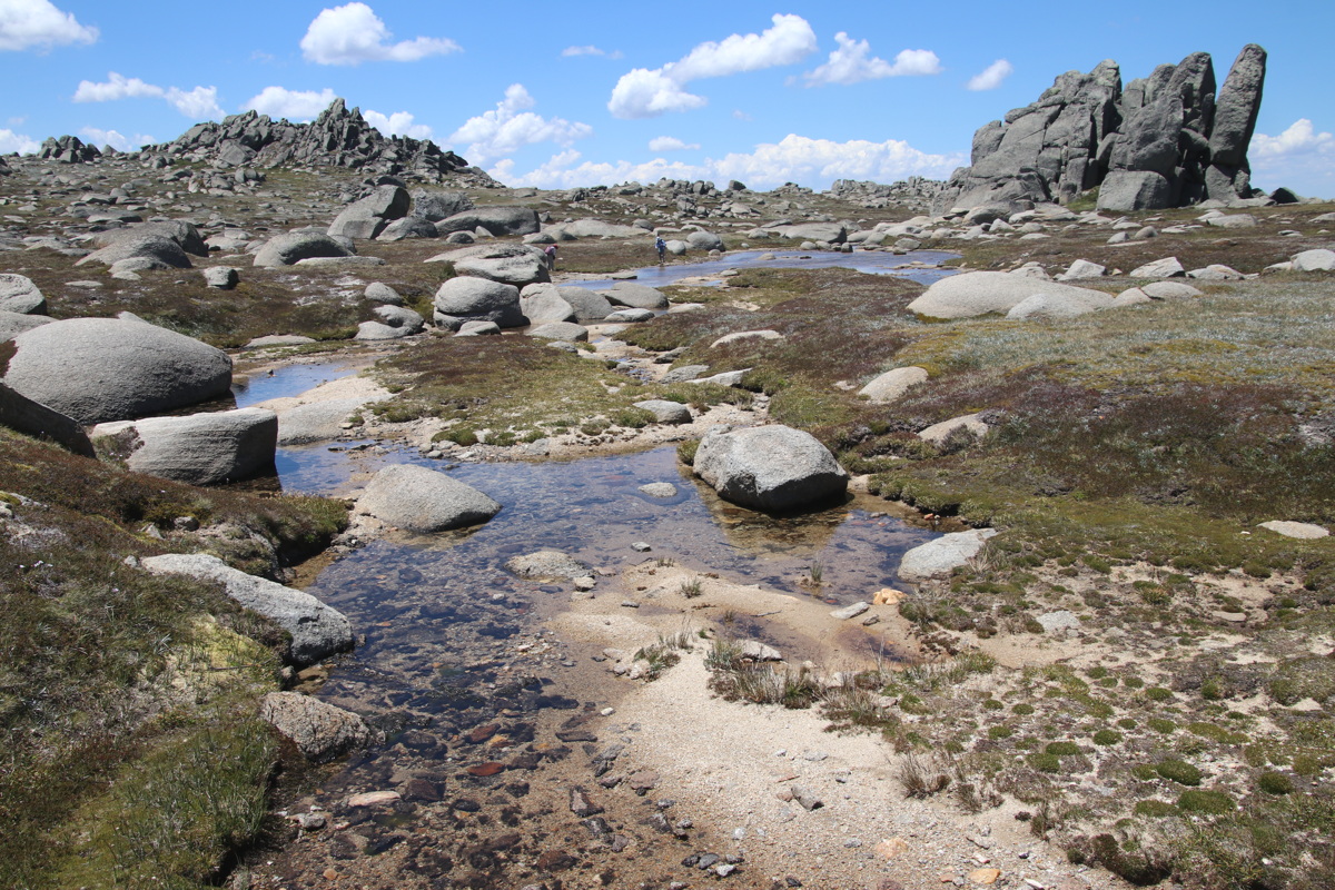
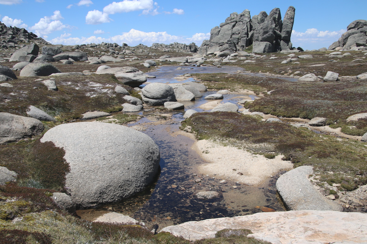
The Ramsheads – 7 Jan 21
6km return ex Top Thredbo, 1930-2140m, +/-230m
|
|
|
|
Cosying up to
the alpine flowers |
East to Lake Jindabyne |
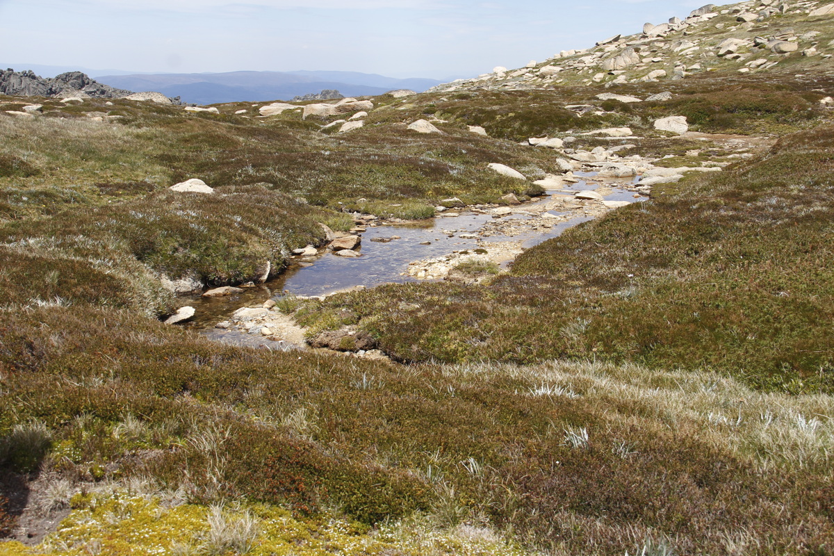
A Ramshead Tarn |
A Ramshead Streamlet ... |
|
|
|
|
... and its surrounds |
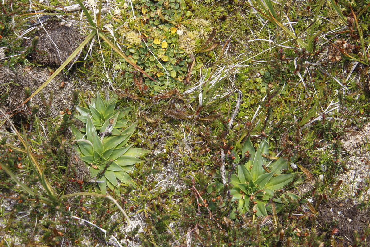
Granite Garden,
Euphrasia and alpine sunrays |
West past Kosciusko to
Victoria in the distance |
North across the Thredbo Valley |
Boboyan Trig (sthn Namadgi N.P.) – 8 Jan 21
4km return on Yerambi Track, 1300-1470m, +/-230m
|
|
|
|
Burnt Log,
from the Jan 2020 Fire |
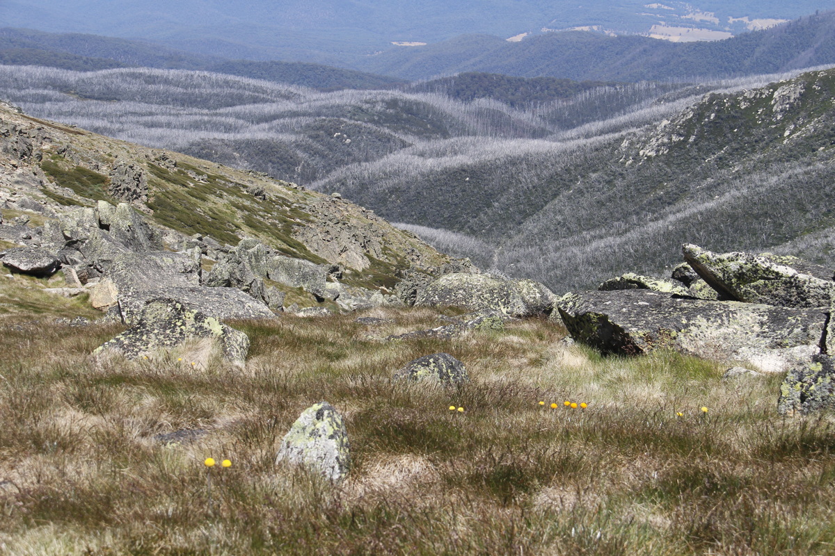
View NNW,
Bimberi to Gingera |
Good ground-level recovery |
Good epicormic recovery |
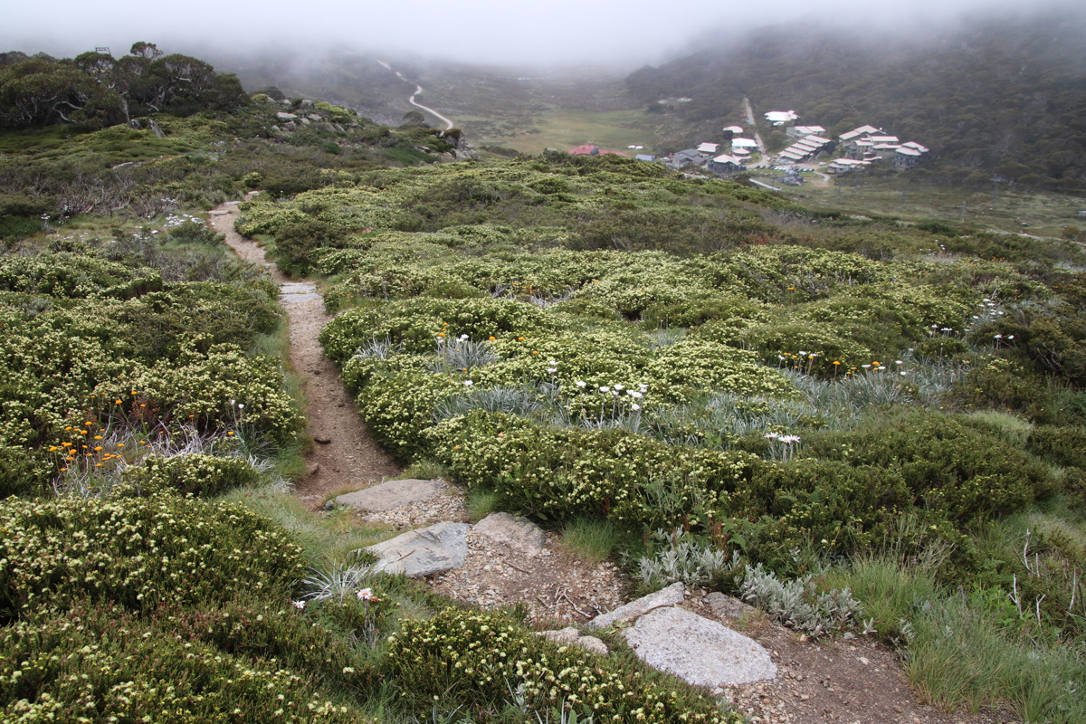
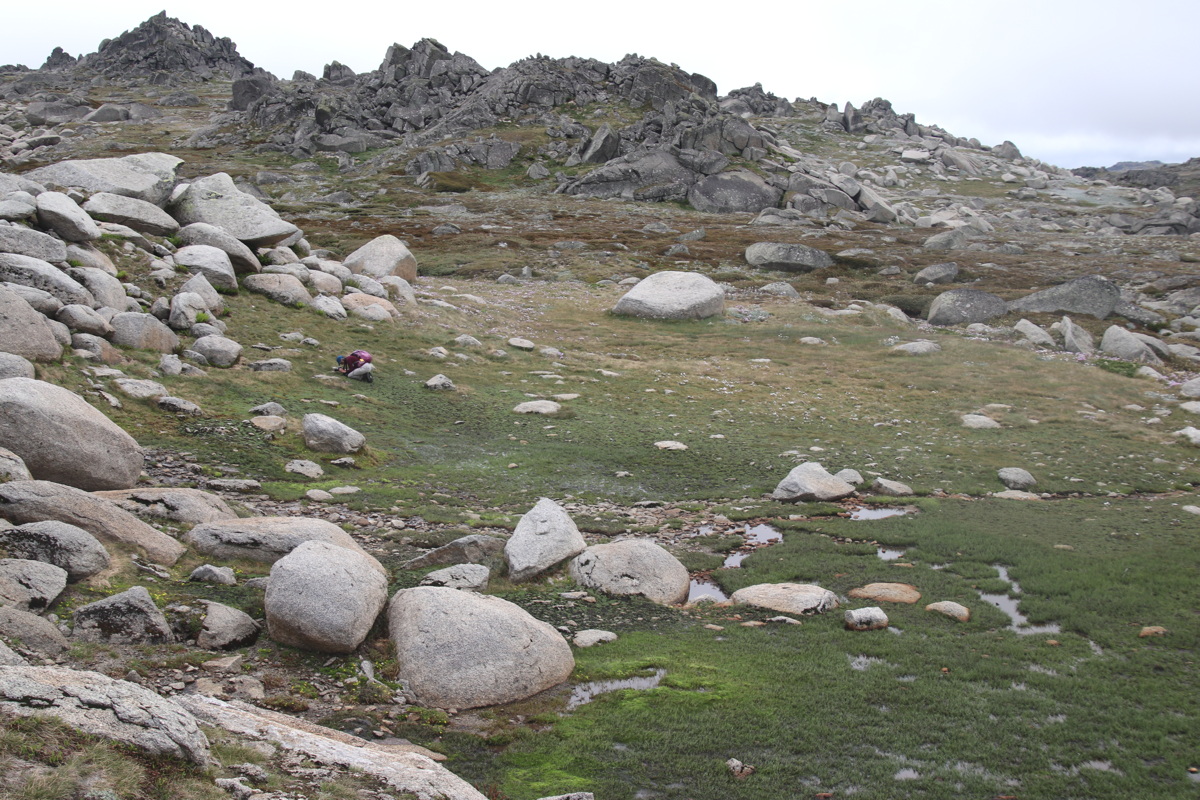
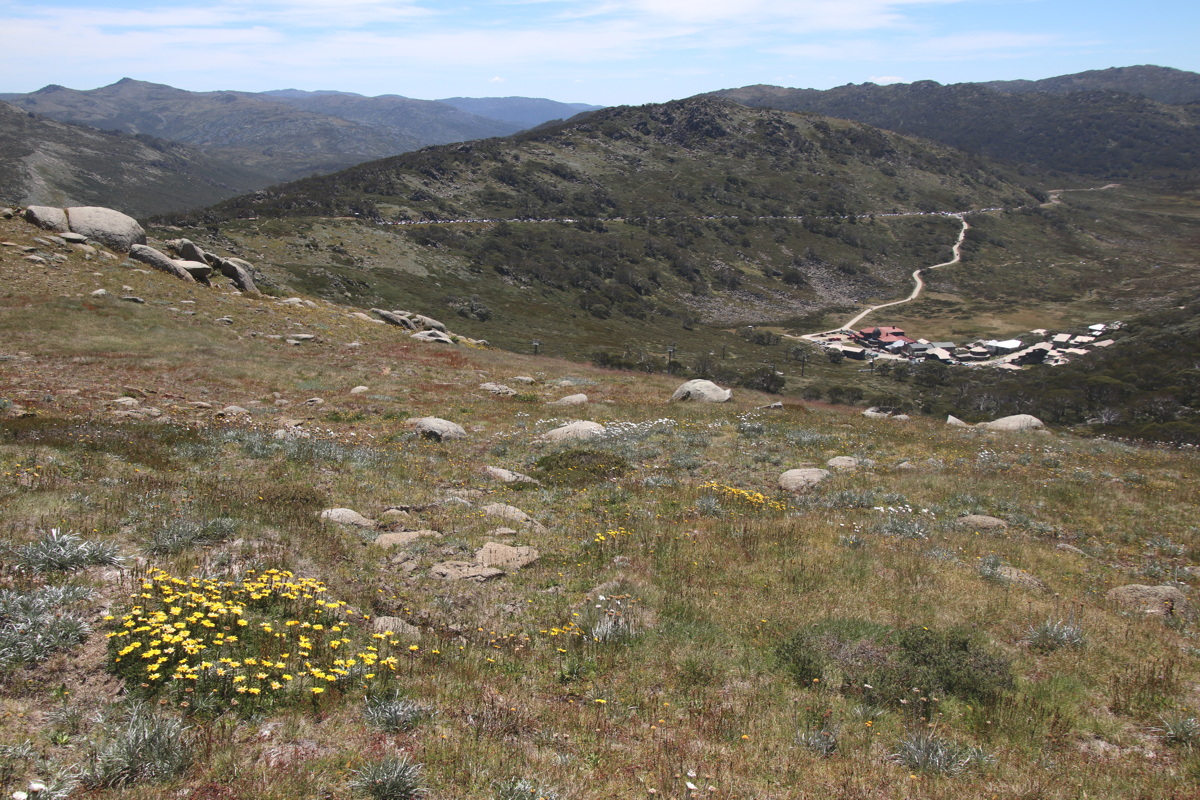
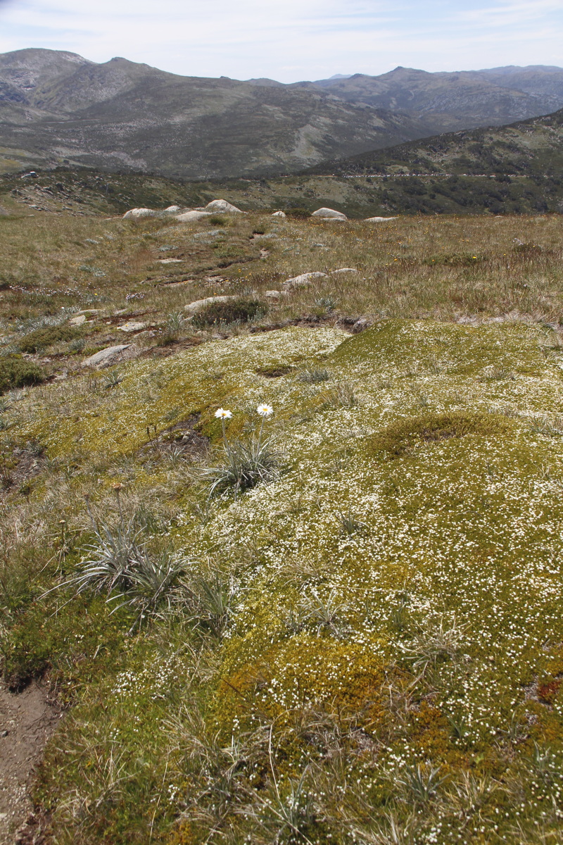
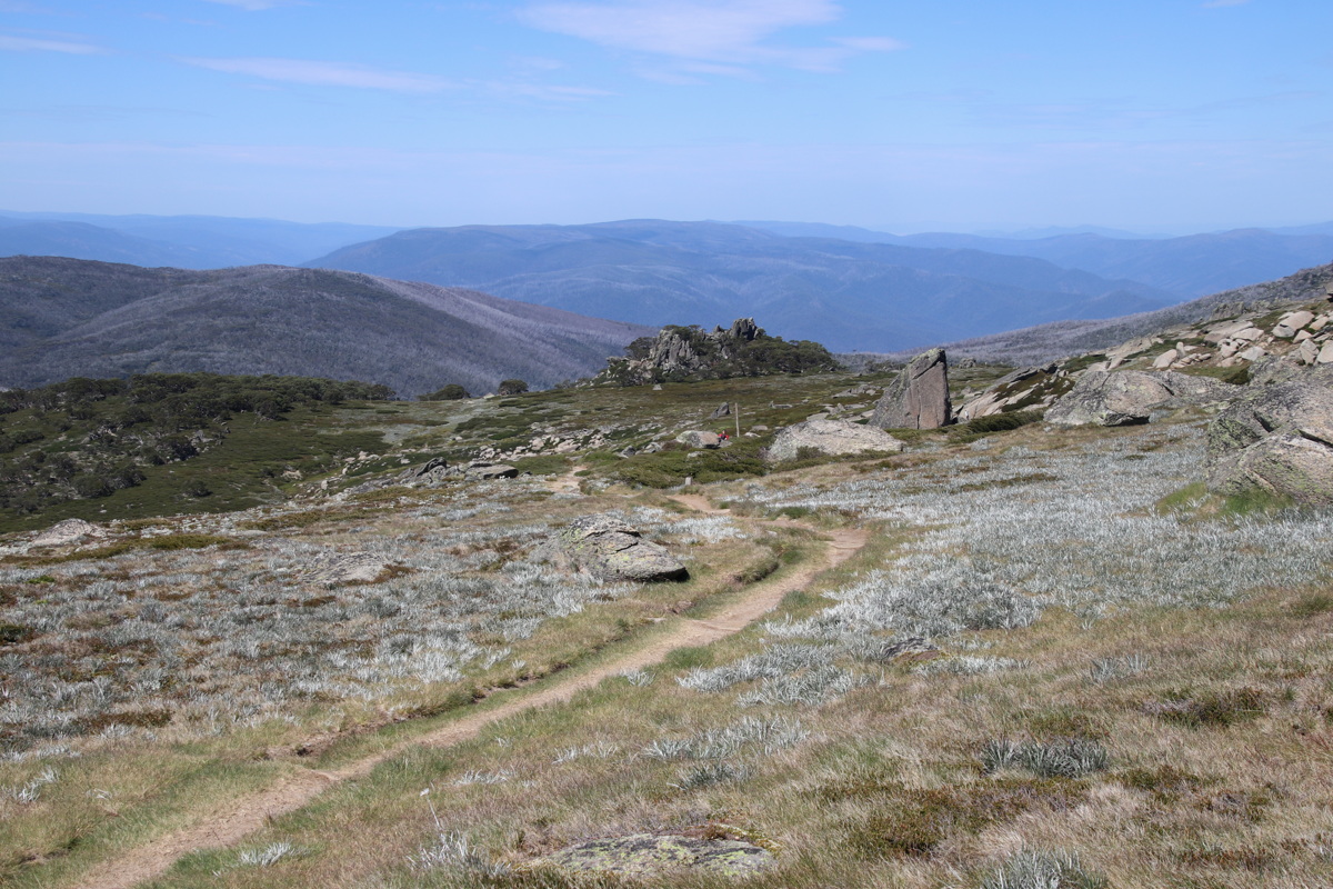
Mt Stillwell – 24 Jan 21
2.5km up from Charlottes Pass, 1840-2040m, +220m, -260m
Coming back, we traversed across through very deep herbfields to above the village, and followed the path down through the trees.
|
|
|
|
Lower Flank |
West to Mts Clarke and
Lee, Townsend behind |
Charlottes Pass
Parking Station |
Herbfields, NE
towards Perisher |
|
|
|
|
N towards Mts
Twynam and Tate,
Jagungal behind, 30km away |
On Mt Stillwell, looking
SW along Kangaroo Ridge at
Ramsheads, Etheridge, Kosci flank |
Top of the forest-path,
Rt Mt Stillwell (West),
Left Little Stillwell (SW) |
Old Snowgum, in the
forest above the village |
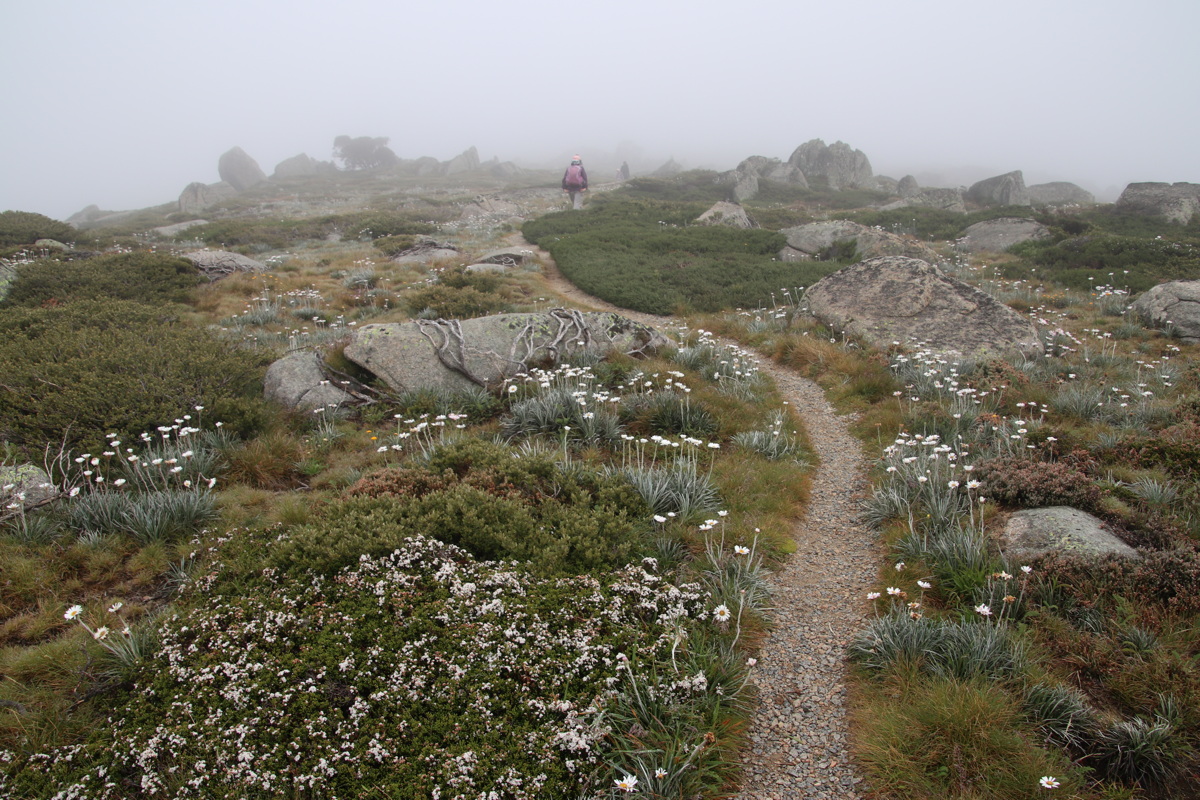
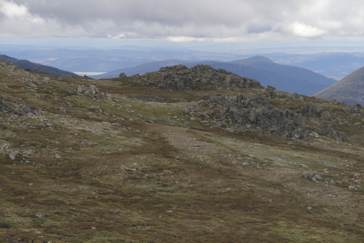
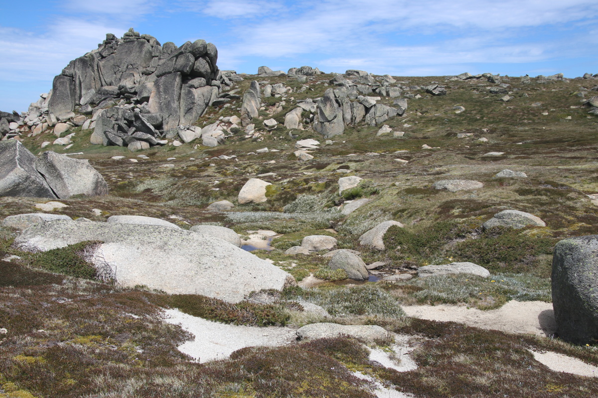
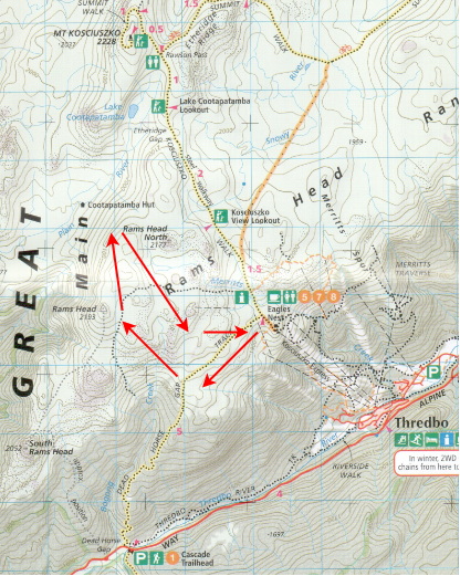
The Ramsheads – 25 Jan 21
7km return ex Top Thredbo, 1930-2150m, +/-300m
This time we exited the Dead Horse Gap track a bit over 1km SW of the starting-point, then worked across herbfields and four rocky ridges, across the northern flank of Ramshead, looked at the views steeply down Swampy Plain River, then back inside North Ramshead. Map here. To my surprise, we found only a few small Feldmark areas on the exposed western slopes.
|
|
|
|
Startpoint, turning right
off the DHG track |
Granite-formations and stream ... |
... typical of Ramshead Ridge |
40-Shades-of-Green
Vegetation |
|
|
|
|
Stream near the steep
drop to the Murray R. in Vic |
Ramshead 2193m,
eastern face |
Looking W down Swampy Plain R. |
Nearby, looking NW |
|
|
|
|
Kosciusko, L. Cootapatamba |
Lunchspot, looking at
Ramshead North 2177m |
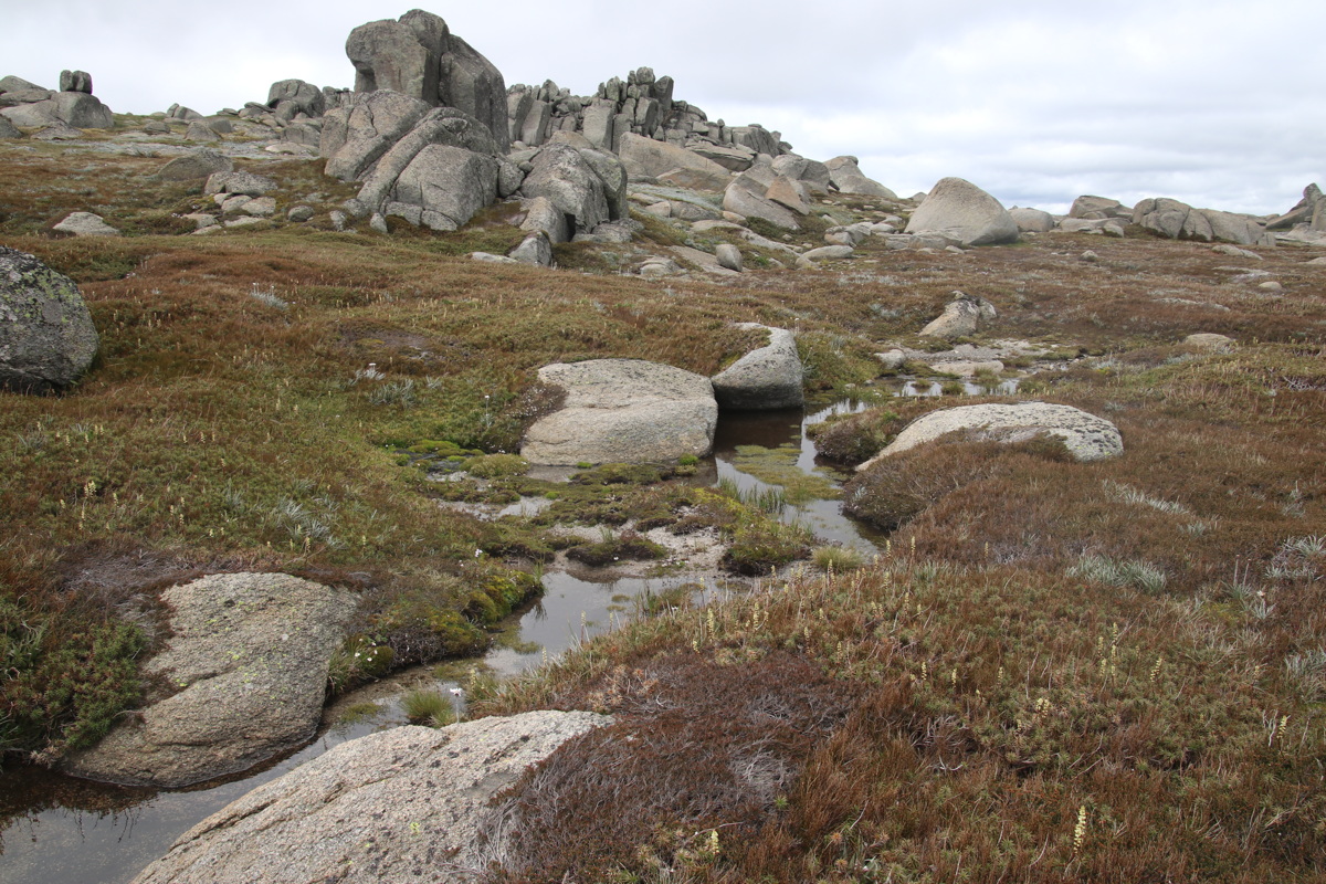
Rocks and Stream ... |
featuring what Linda
dubbed 5 Finger Rocks ... |
|
|
|
|
... Granite, but ... |
... with some marble ... |
... scattered in the stream? |
Back above Top Thredbo
an hour before the storm |
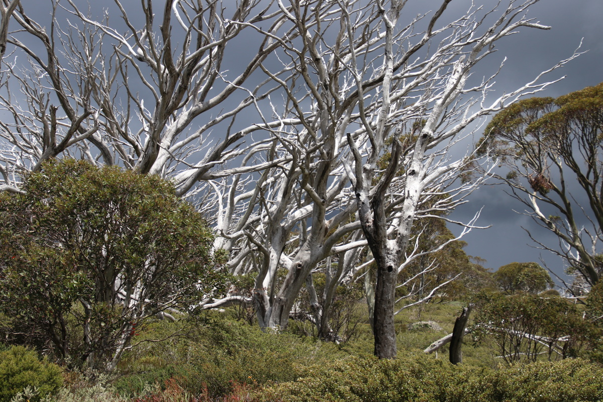
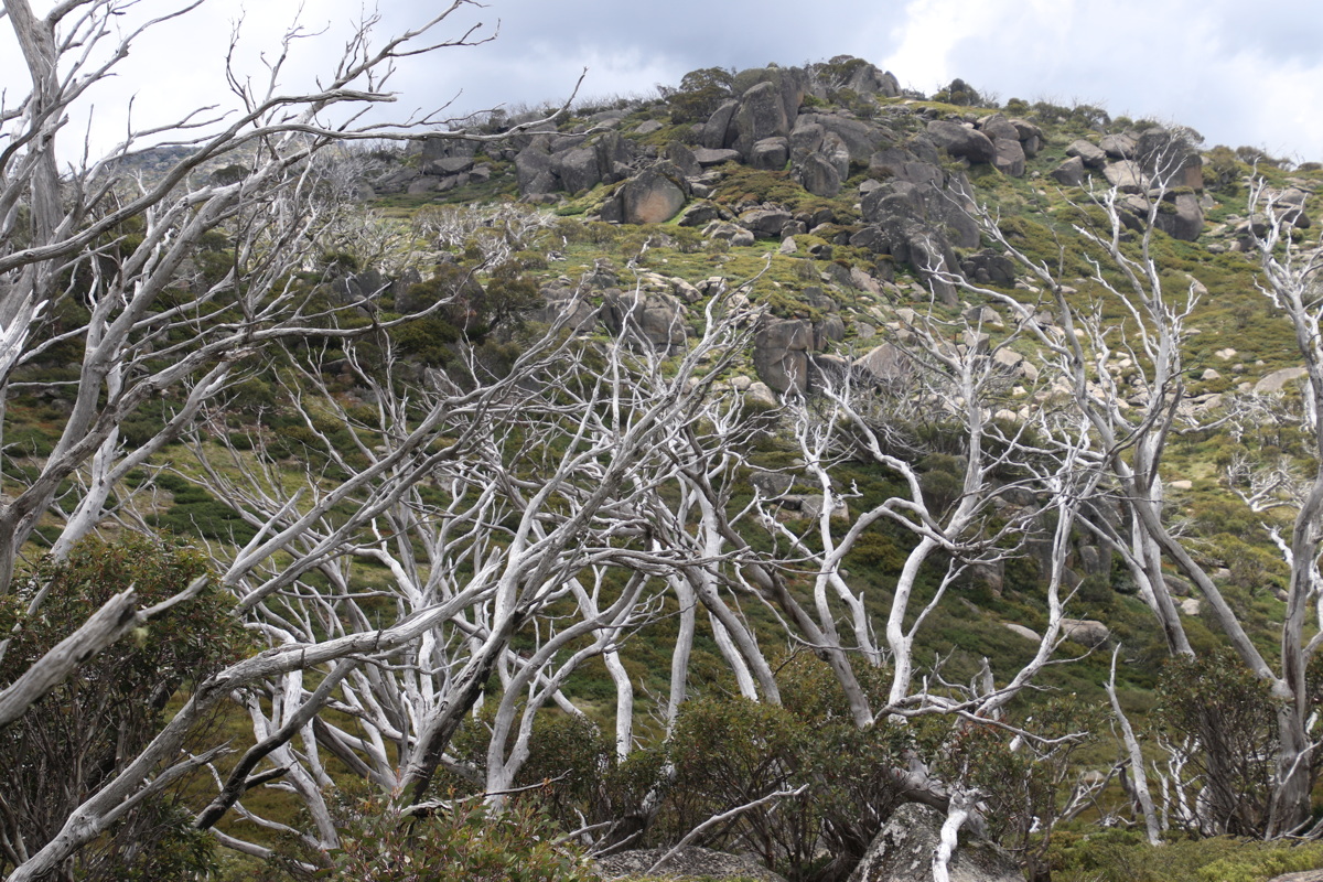
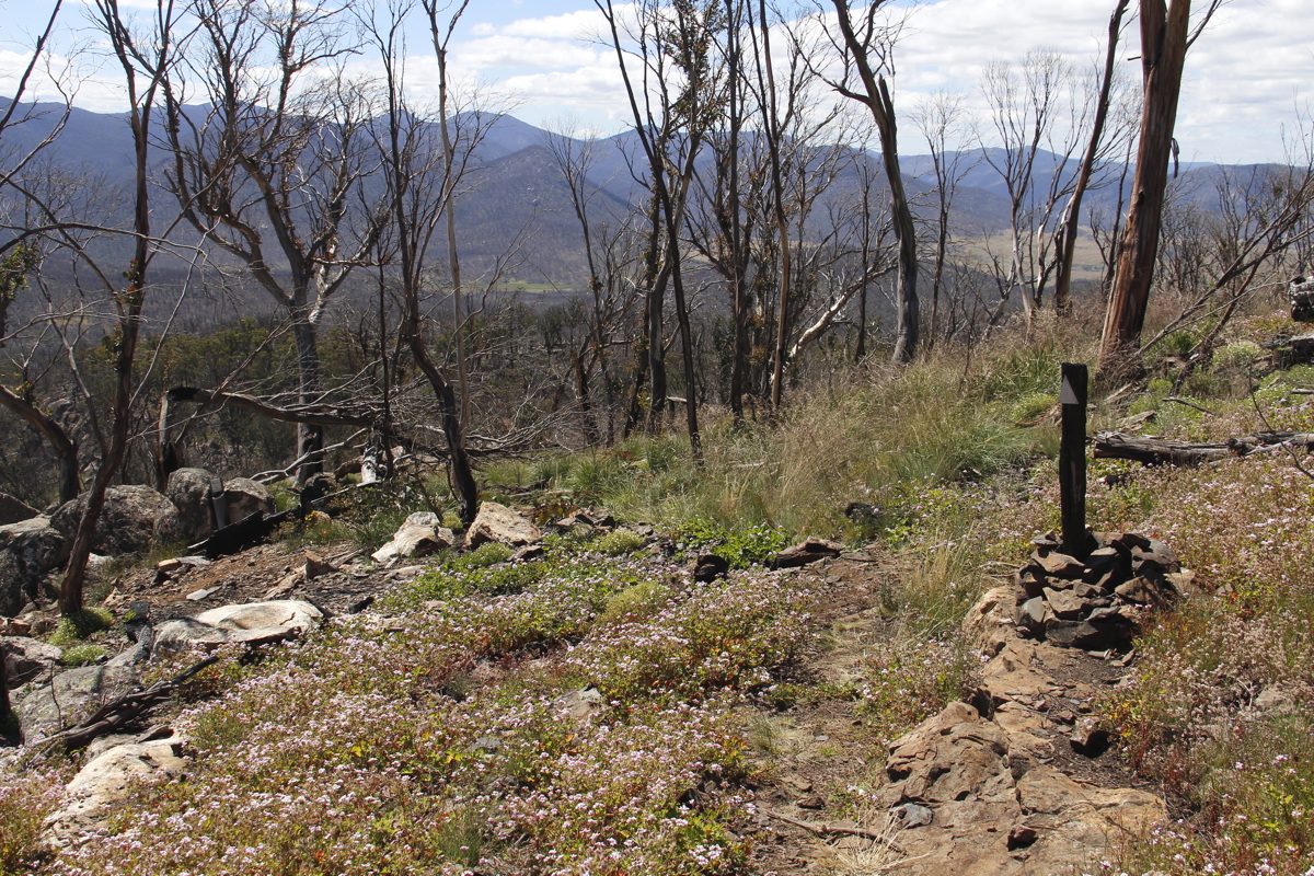
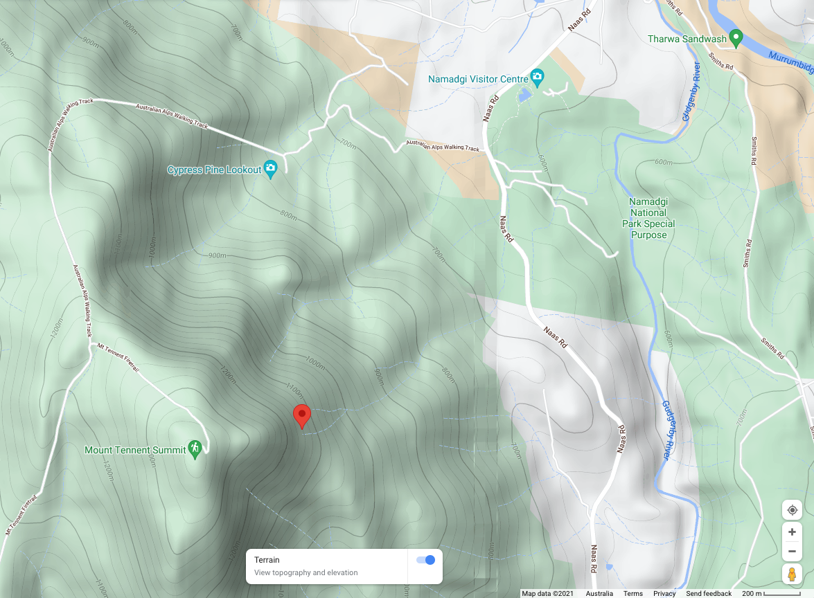
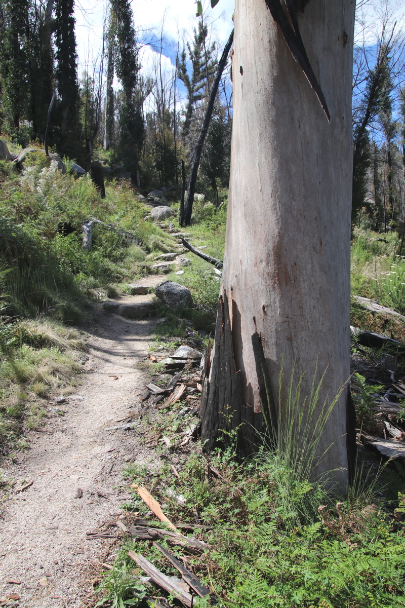
Mt Tennent, ACT – 27 Oct 21
12.5km return, 600m-1220m, +/-620m – first decent long-half-day walk in ages
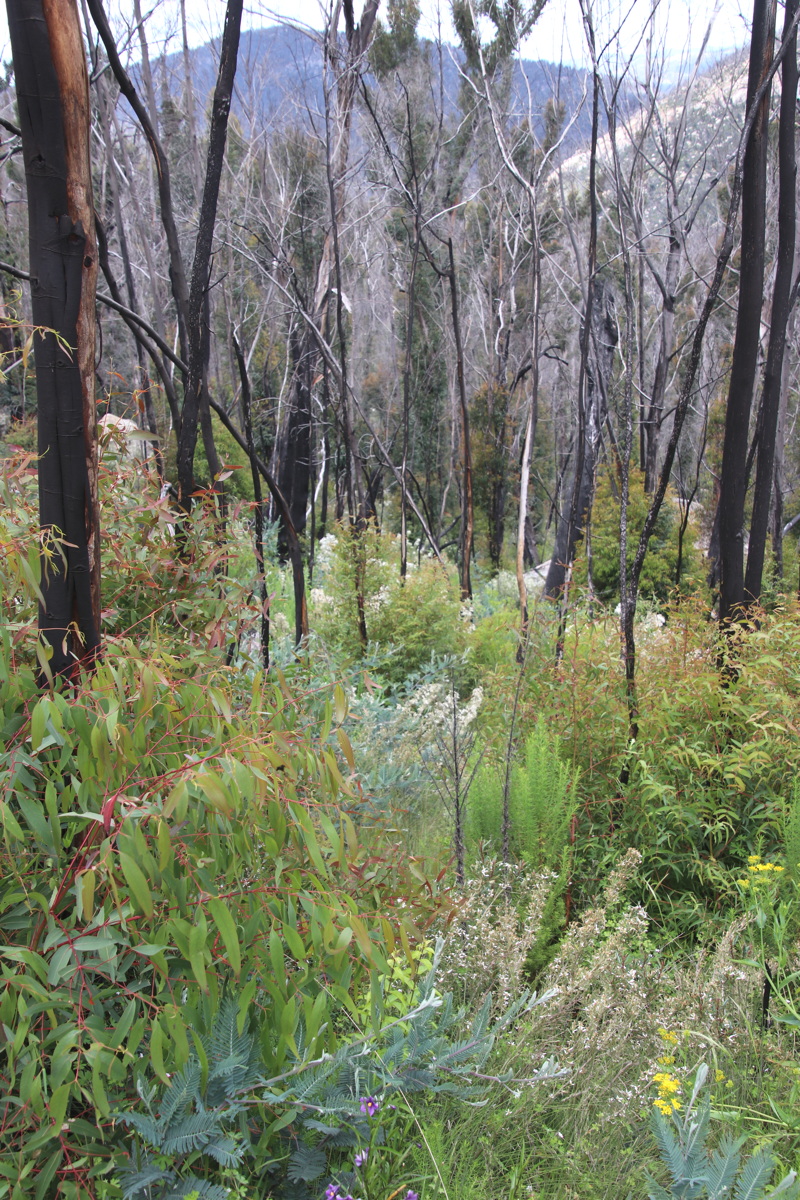
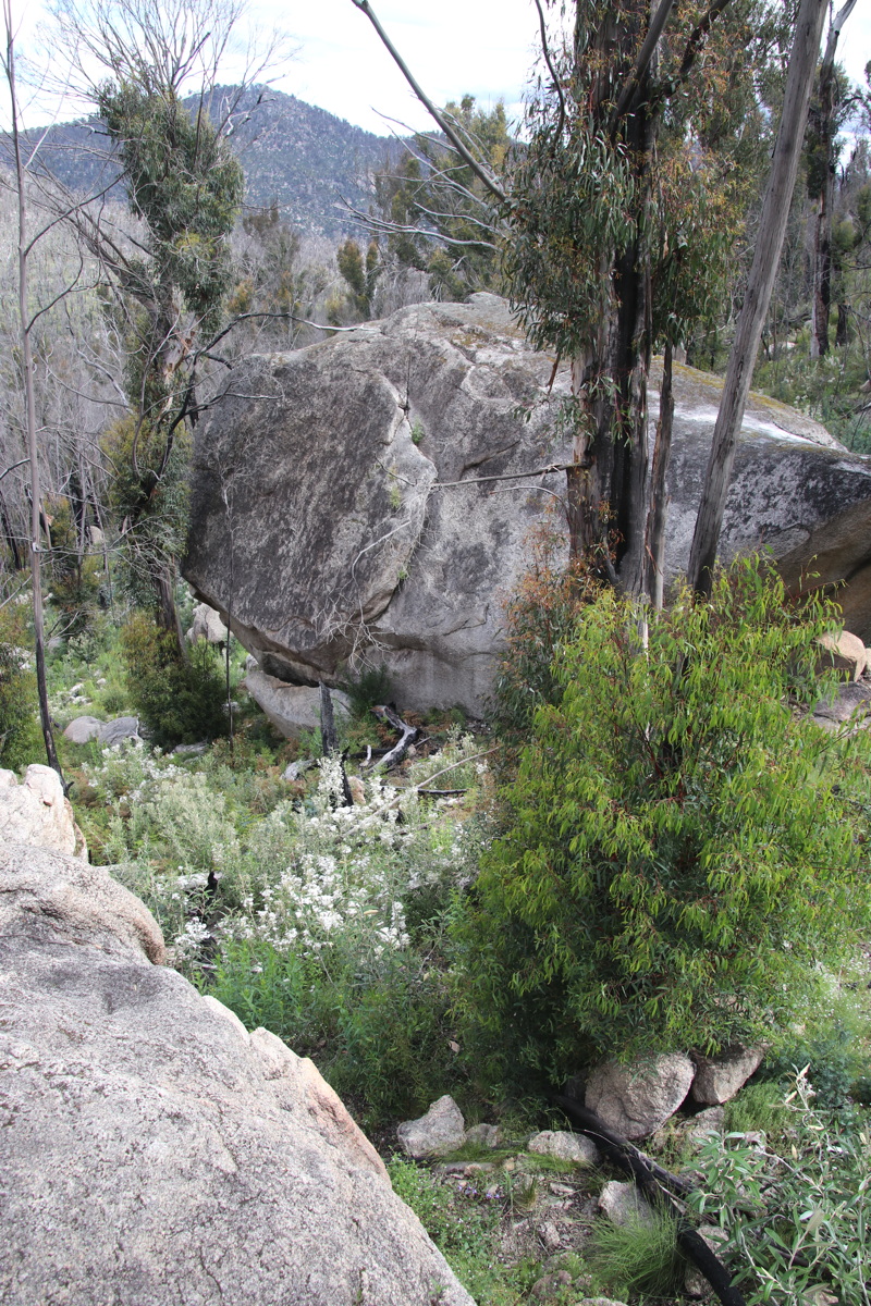
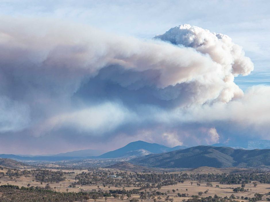
Tharwa's a village 30km south of Canberra's centre, 5km beyond the city boundary. It sits on the edge of Namadgi National Park (NP), which is mostly forest. 80% of the NP burnt, badly, in late Jan / early Feb 2020, just before the intense 3-year drought broke, followed, as usual, by flooding rains.
Mt Tennent is a few kilometers SW of Tharwa. It was very heavily burnt, but the fire was kept out of the village. (A longstanding student/consultancy-colleague/mate of Roger's is the local Rural Fire Service captain).
Here's some information about that fire-season, including a photo of Mt Tennent (centre of picture) from 30km north during the fires.
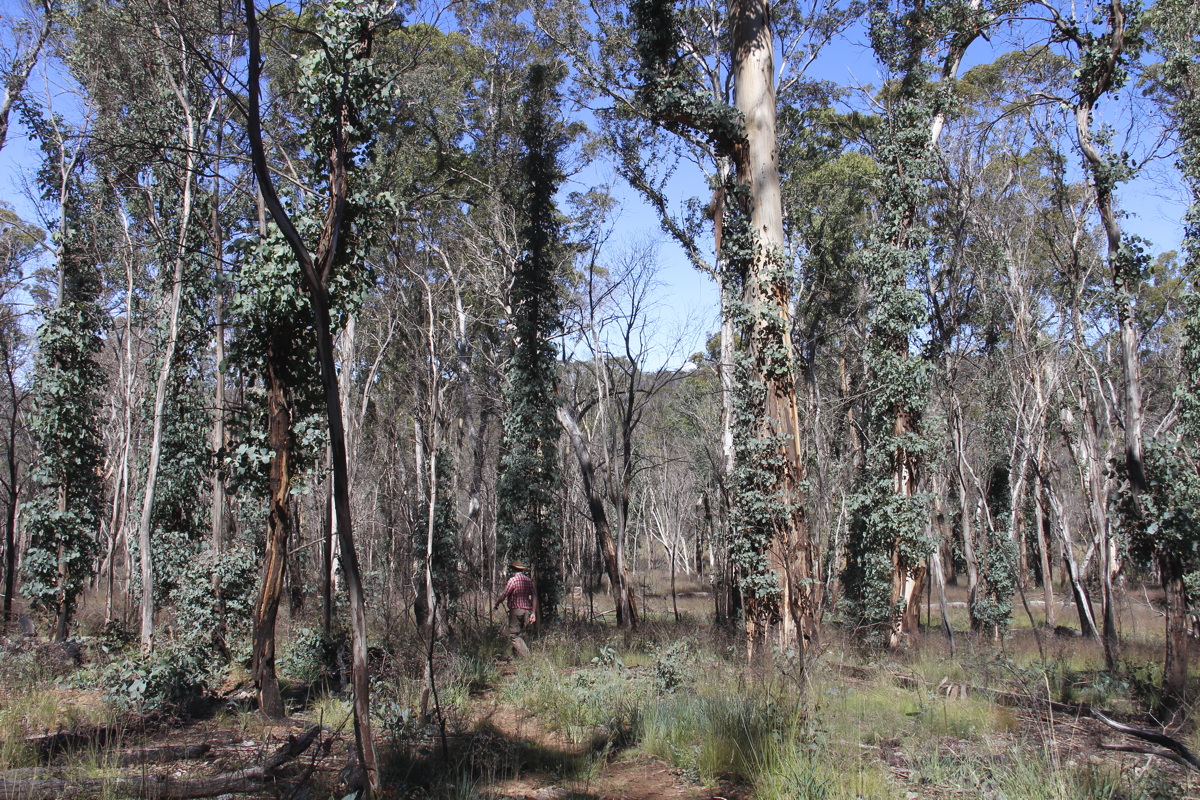
The NP was closed for over a year, as the Parks people made roads and tracks safe from falling trees. The re-growth of ground-cover and bushes is spectacular, but a big proportion of the trees remain black stalks, despite the great fire-recovery capabilities of Eucalypts.
|
|
|
A contour map of the walk.
We walked from the Visitor Centre in the NE,
W, then S, as far as the
track junction short of the summit |
Dense regrowth |
Dense regrowth, but not of trees |
|
|
|
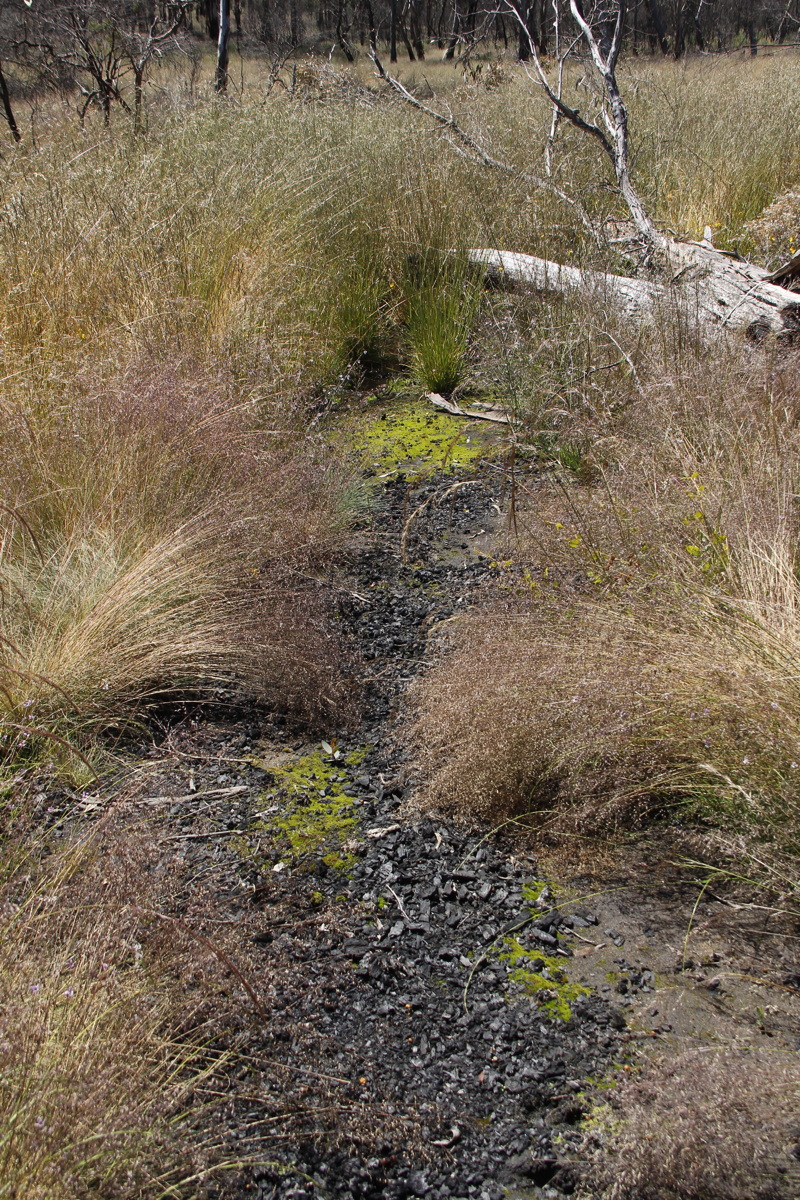
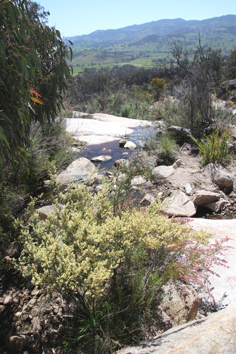
A creek-line, with ... |
... both water and ... |
... rich re-growth |
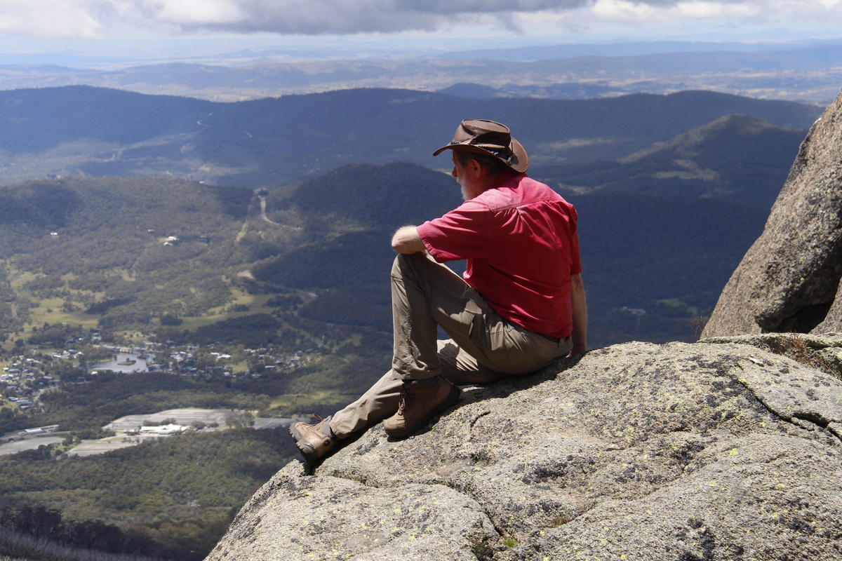
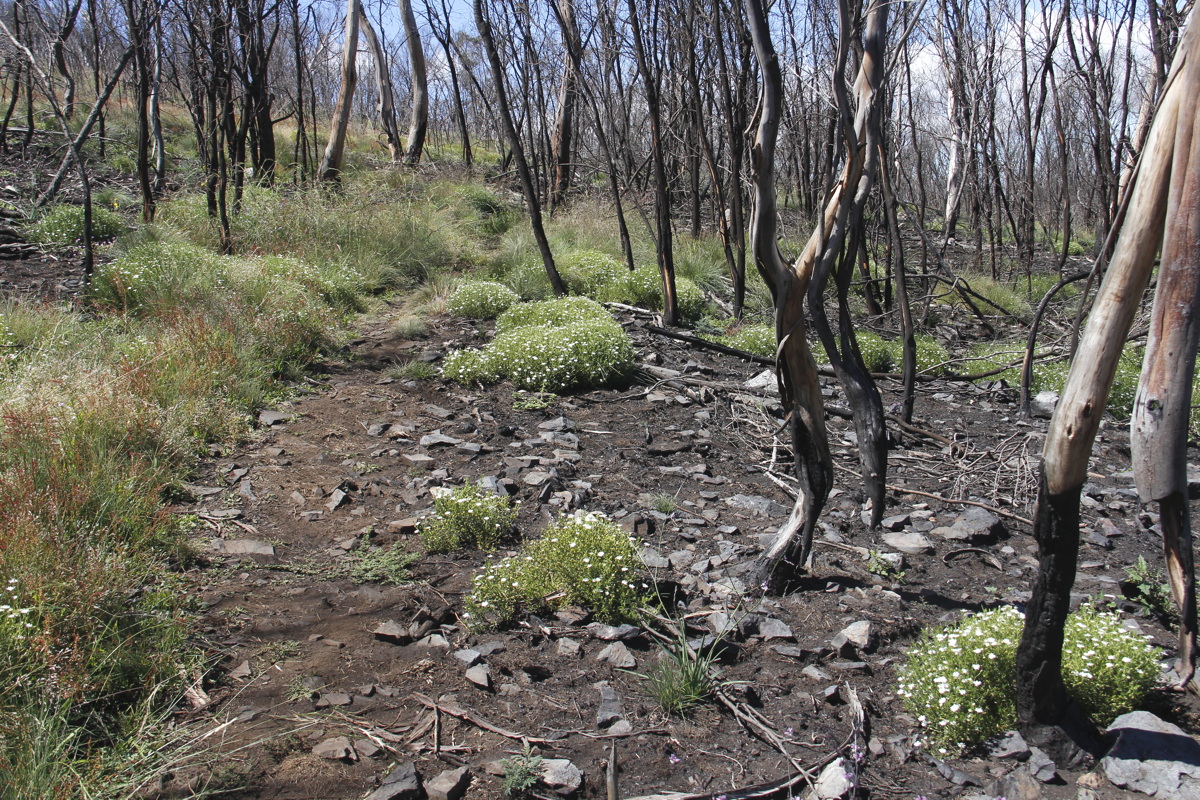
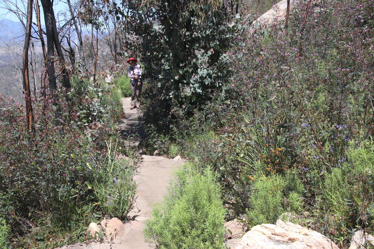
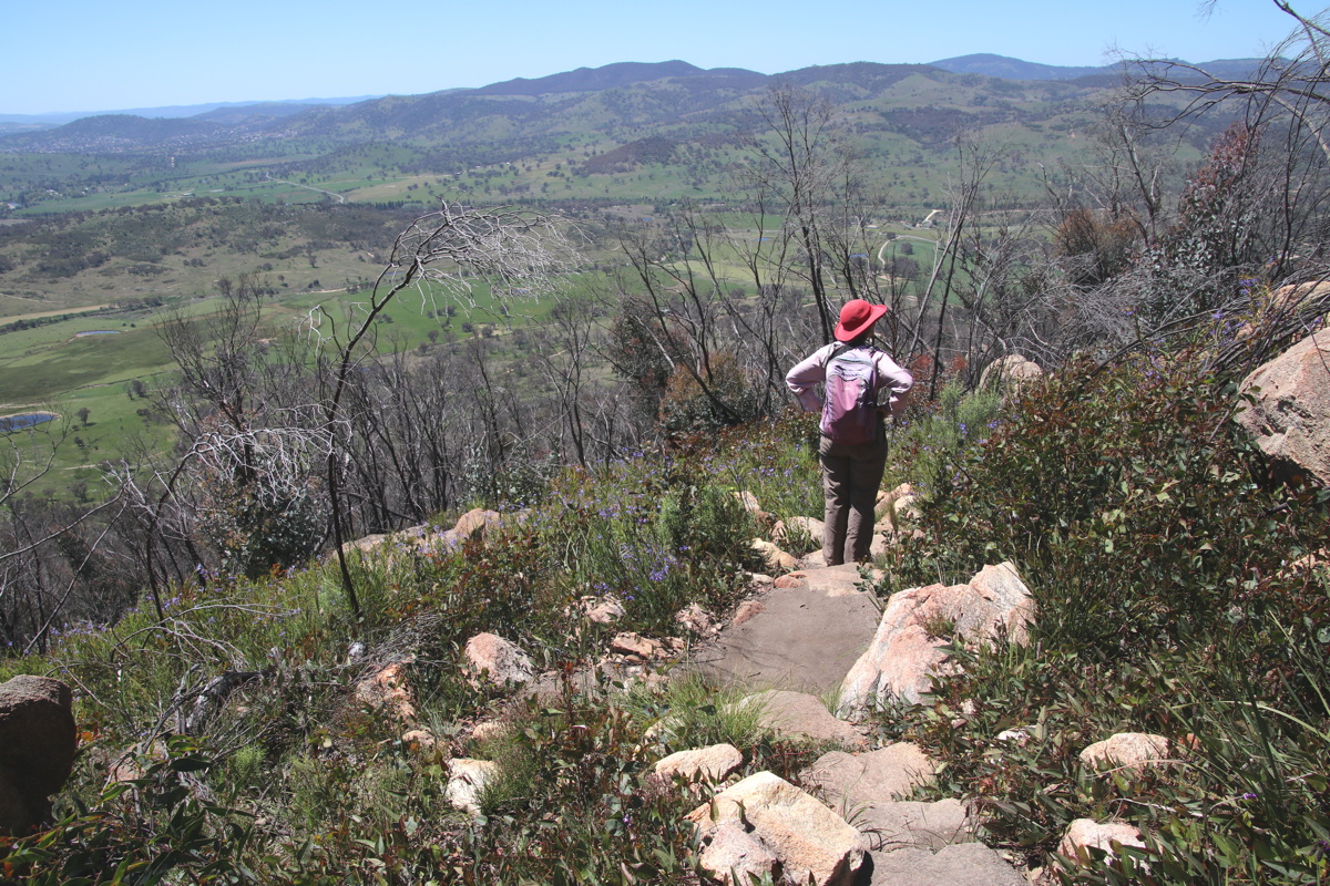
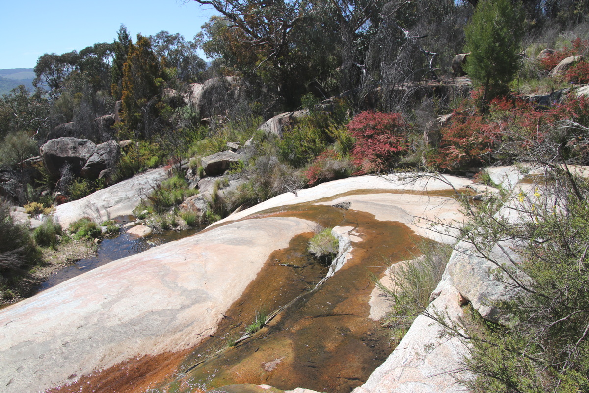
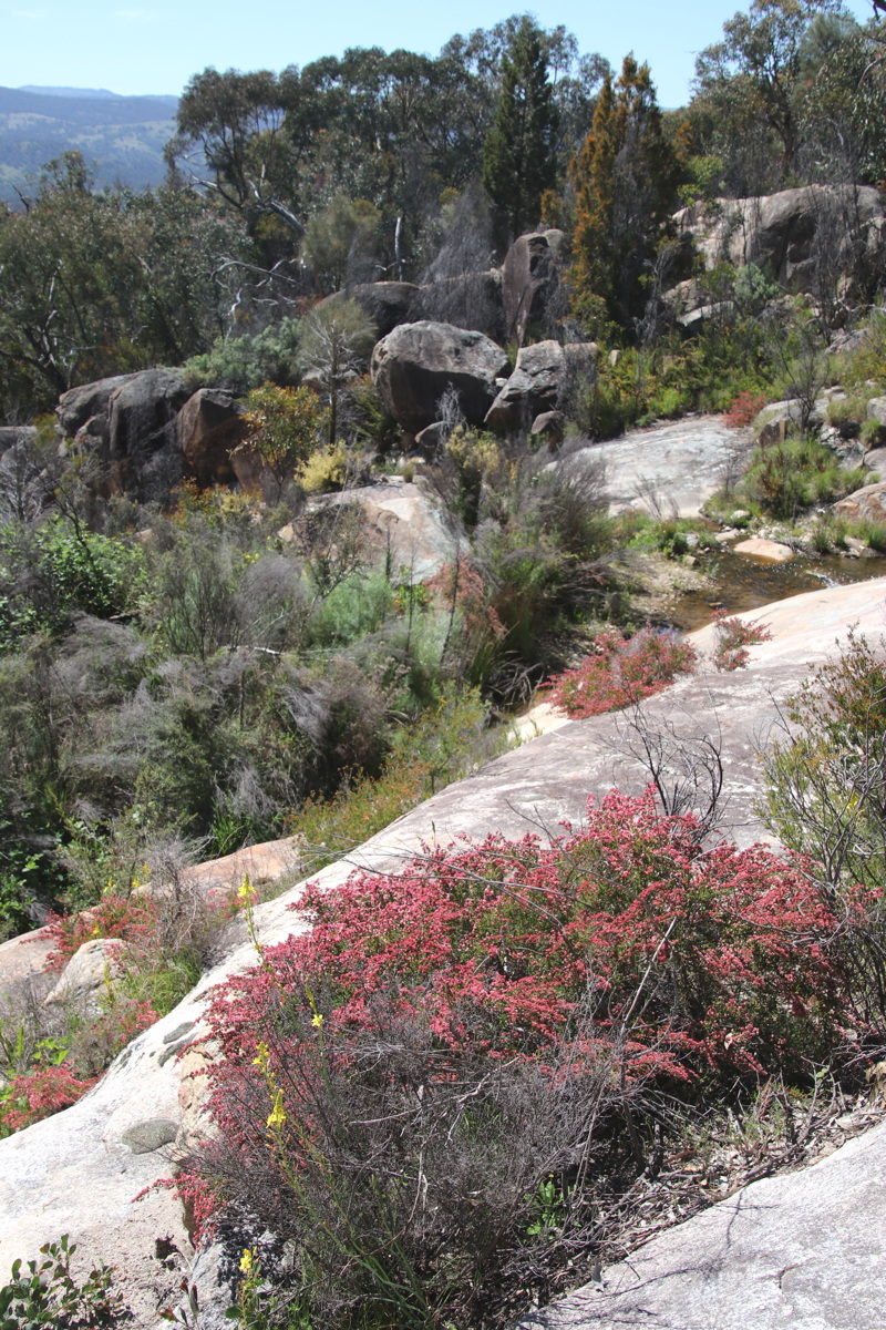
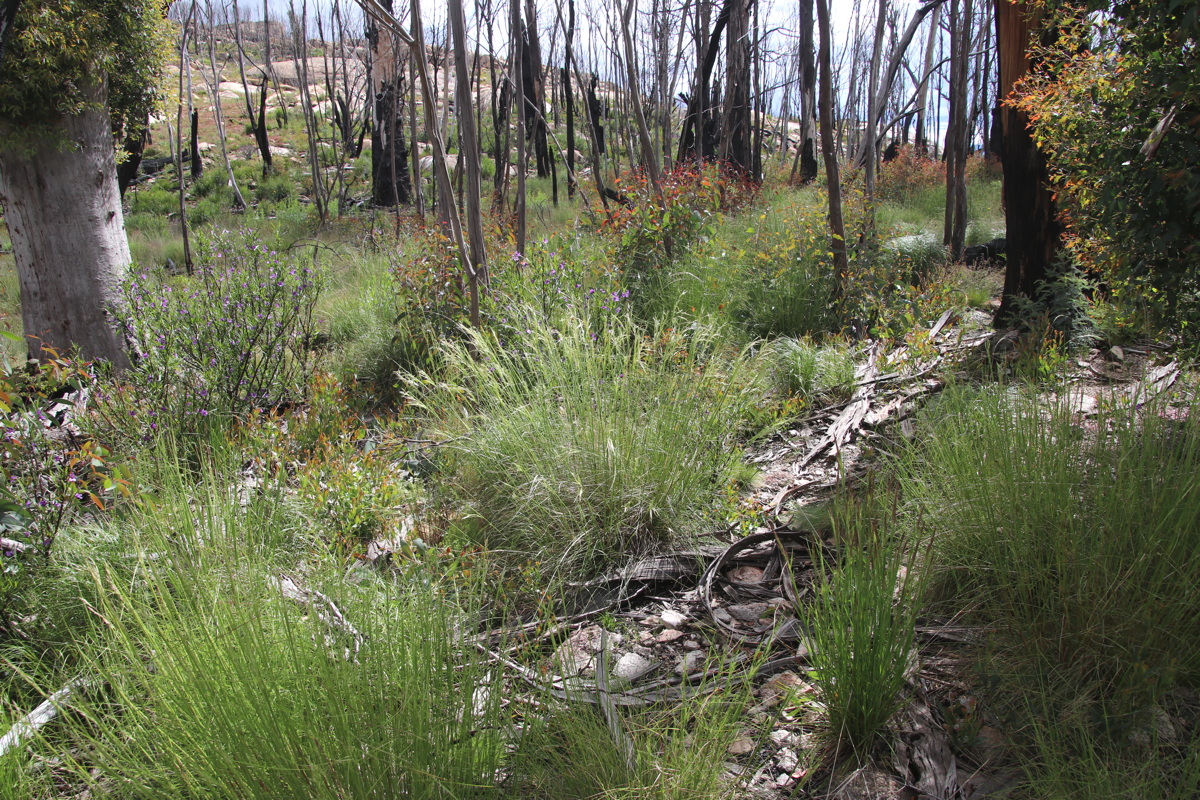
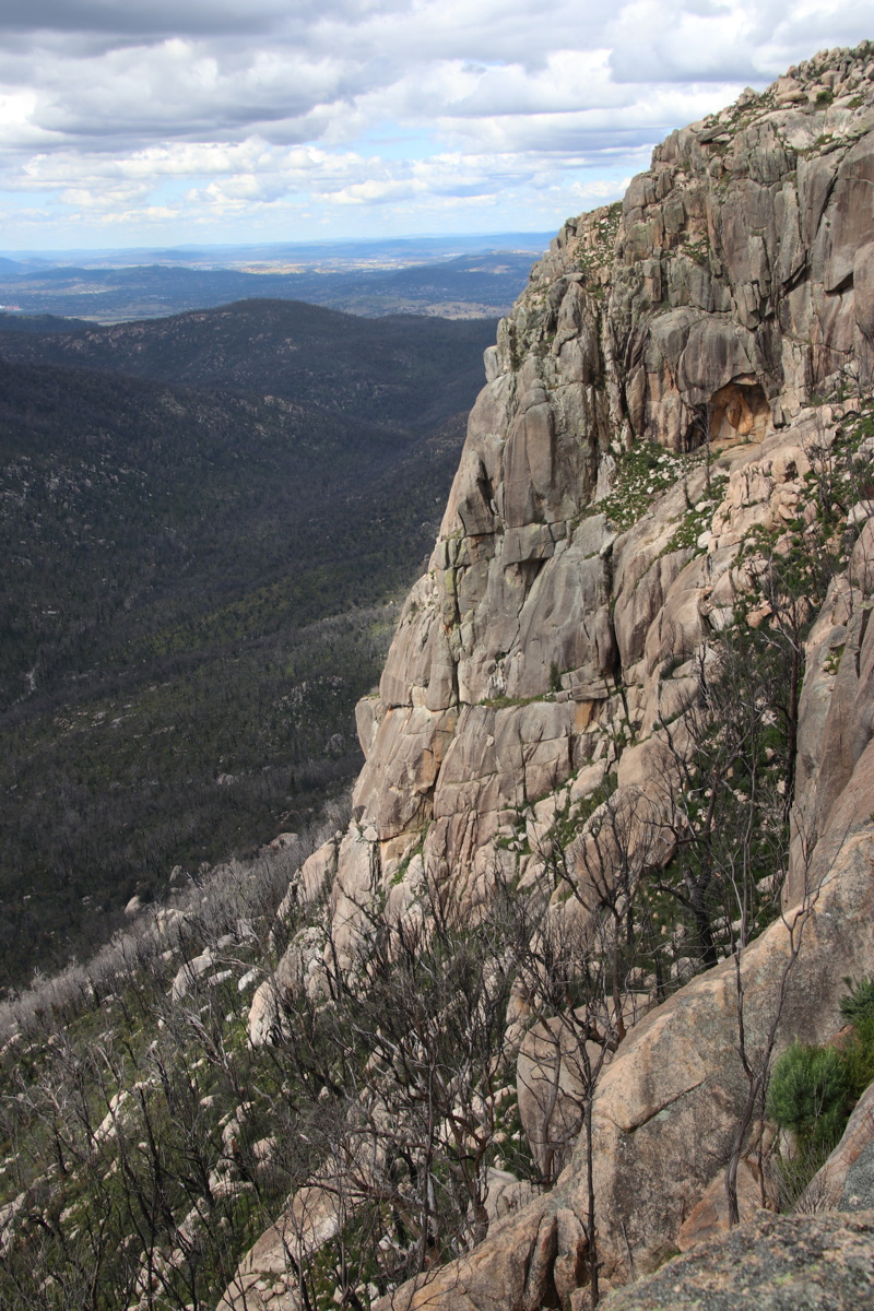
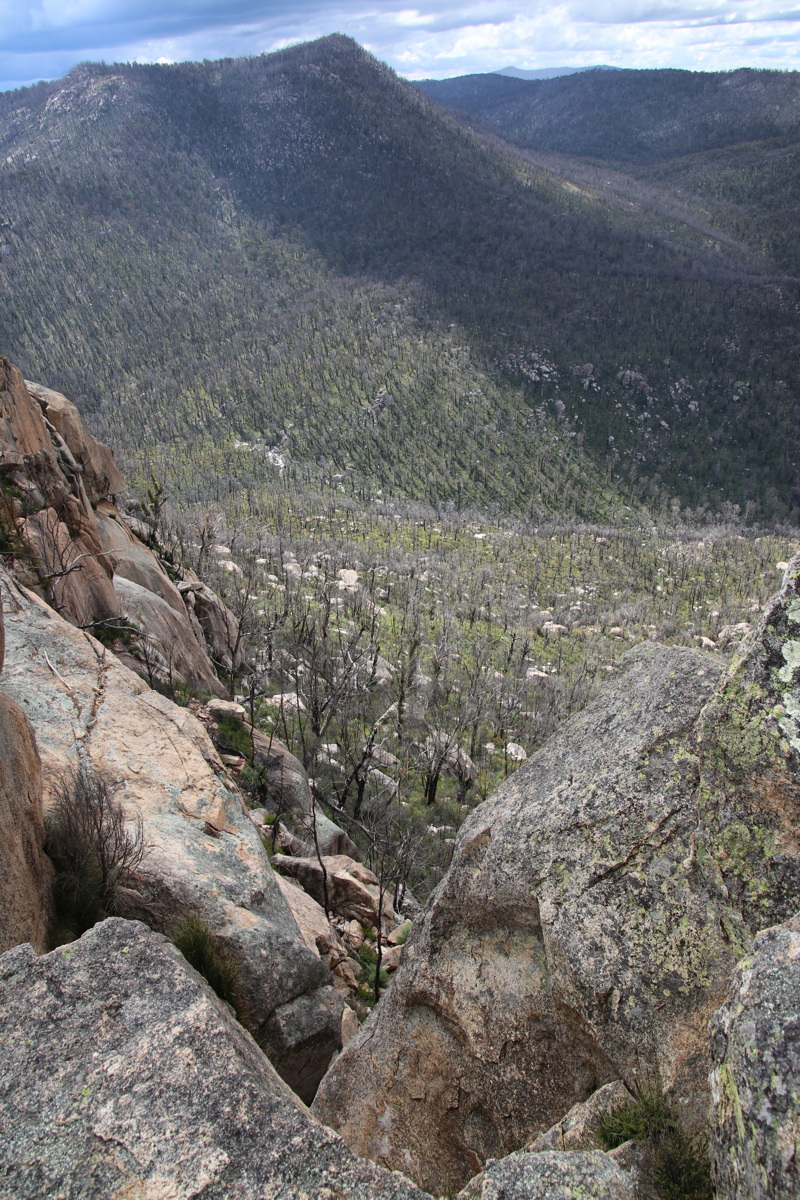
Booroomba Rocks, ACT – 12 Dec 21
A quick afternoon walk, 80km return drive, for a walk 5km return and 180m of height, 1170-1350m.
It's 4km W of Mt Tennent (see immediately above), and was deeper in the conflagration in late Jan 2020.
|
|
|
|
The Path |
Regrowth great at ground level ... |
... better than feared up higher |
c.30 species in flower |
|
|
|
|
Back NNE over Canberra,
Mt Taylor at the centre |
The wall visible from Canberra |
Still devastated in parts,
this view to the NW |
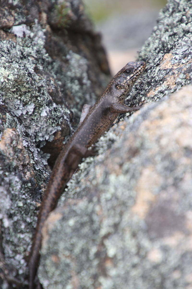
Presumably a Cunningham's,
Skink, unperturbed, c.14cm |
This is a page within the Clarke-Spinaze Photo Gallery, home-page here
Contact: Linda or Roger
Created: 10 January 2021; Last Amended: 27 October 2021


