Mountain Walks – 2014
About a dozen walks scattered across 7 weeks
Click on any image to see a larger version
From mid-May to late June, we made our way through the Dordogne, Auvergne
and The French Alps, via the Dolomites to Slovenia,
then the Zillertal in Austria, and Säntis, Engelberg,
Bürgenstock, Glaubenbuelerpass and Stoos
in Switzerland, to the Cairngorms in Scotland, and Lindisfarne,
the Yorkshire Dales and Bempton Cliffs.
We've allowed ourselves a little
licence, by including some shots that were not strictly from mountain-walks.
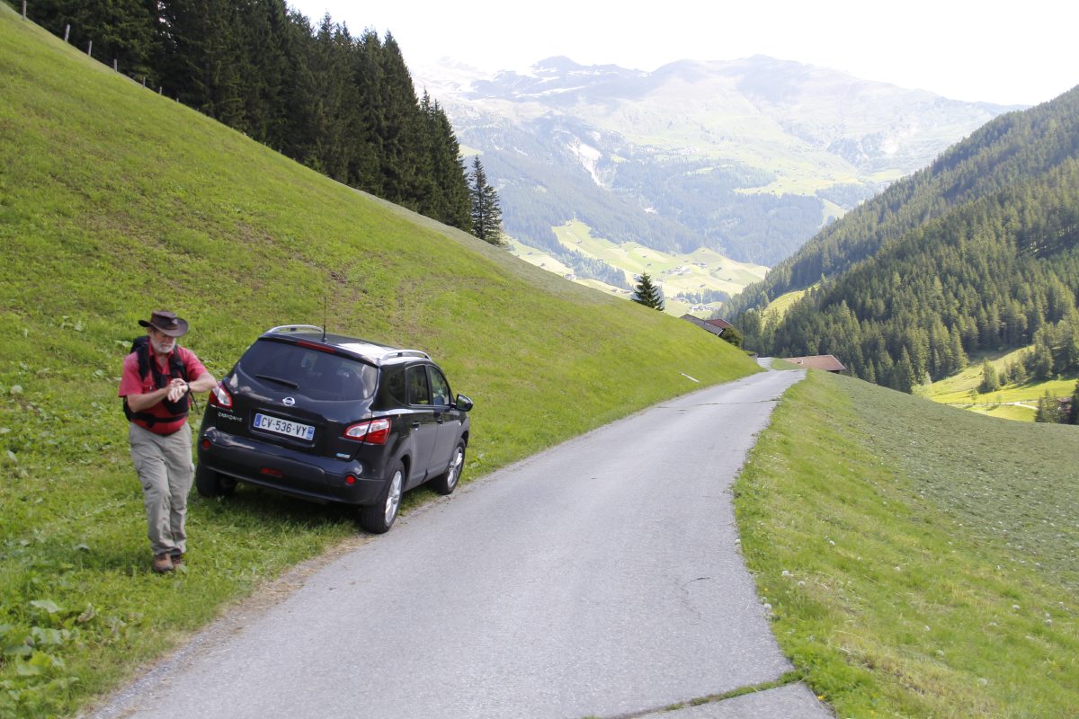
France – May 2014
The Dordogne – mid-May 2014
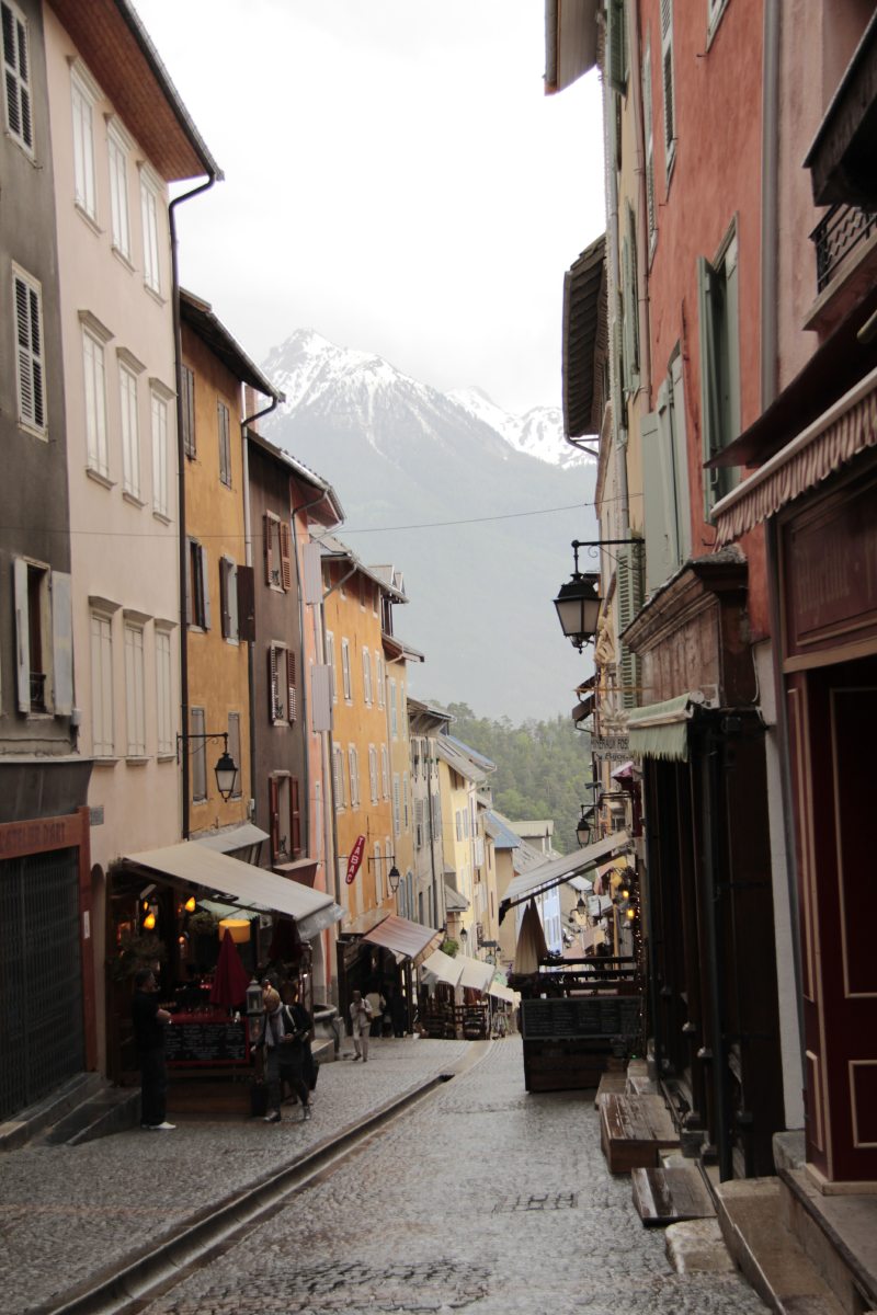
After a few days in Paris, we spent 10 days in the Dordogne with Howard and Maureen Bamsey,
then 2 nights in the Auvergne and 1 night in Briancon at the Italian border.
|
|
|
|
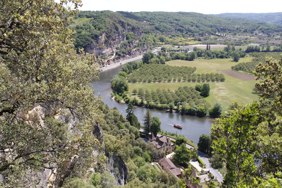
From Marqueyssac,
to Roque-Gageac |
Marqueyssac
Gardens' Topiary |
A graceful curve at
St-Cirq-Lapoppie |
Castelnaud |
|
|
|
|
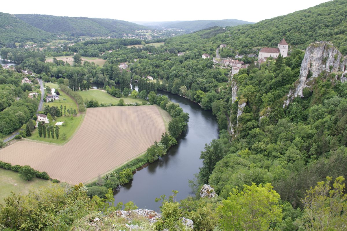
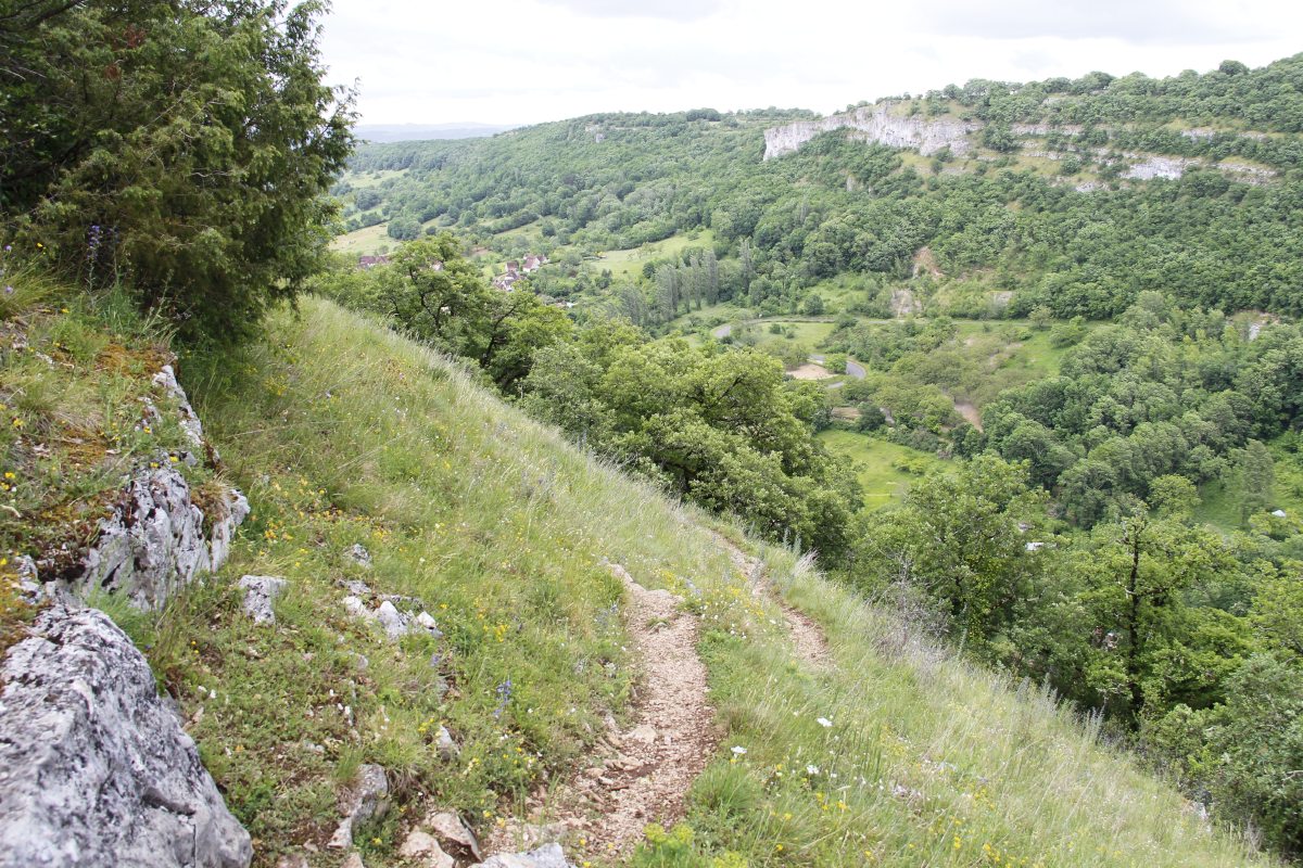
Rocamadour |
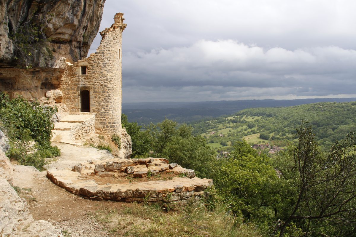
The Autoire Valley Walk |
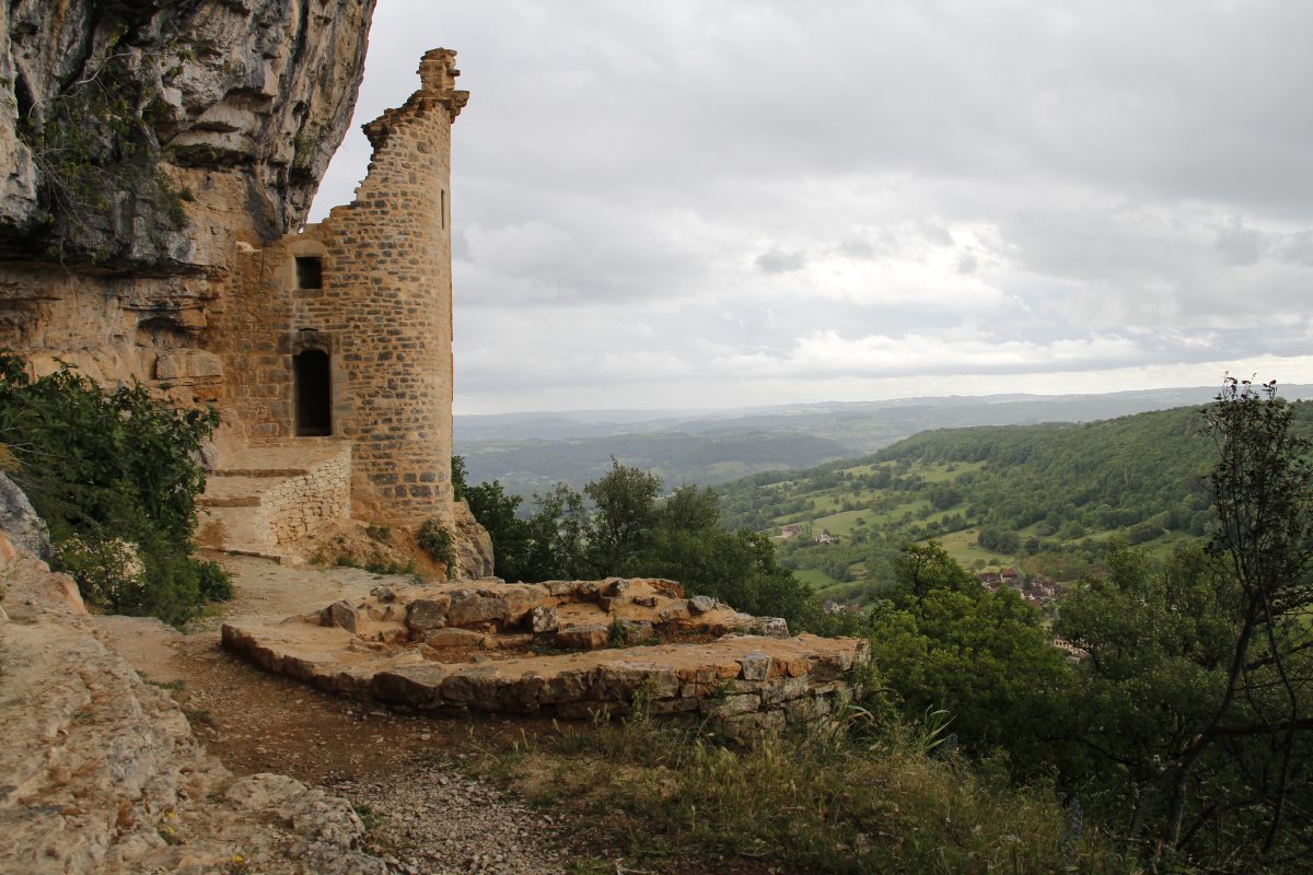
The ruined
English Castle
above the Autoire ... |
... before and after
the storm |
|
|
|
|
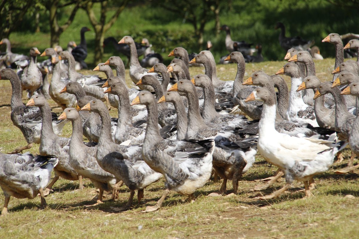
Sarlat Geese |
More Geese |
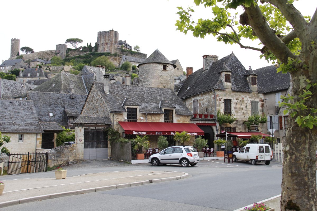
Before the
Turenne walk,
a morning coffee |
Turenne village,
from near
the castle |
|
|
|
|
Beaulieu-sur-Dordogne
not a walk,
but so serene |
The Valley
near Nadaillac |
The Presbytery,
Nadaillac-de-Rouge |
|
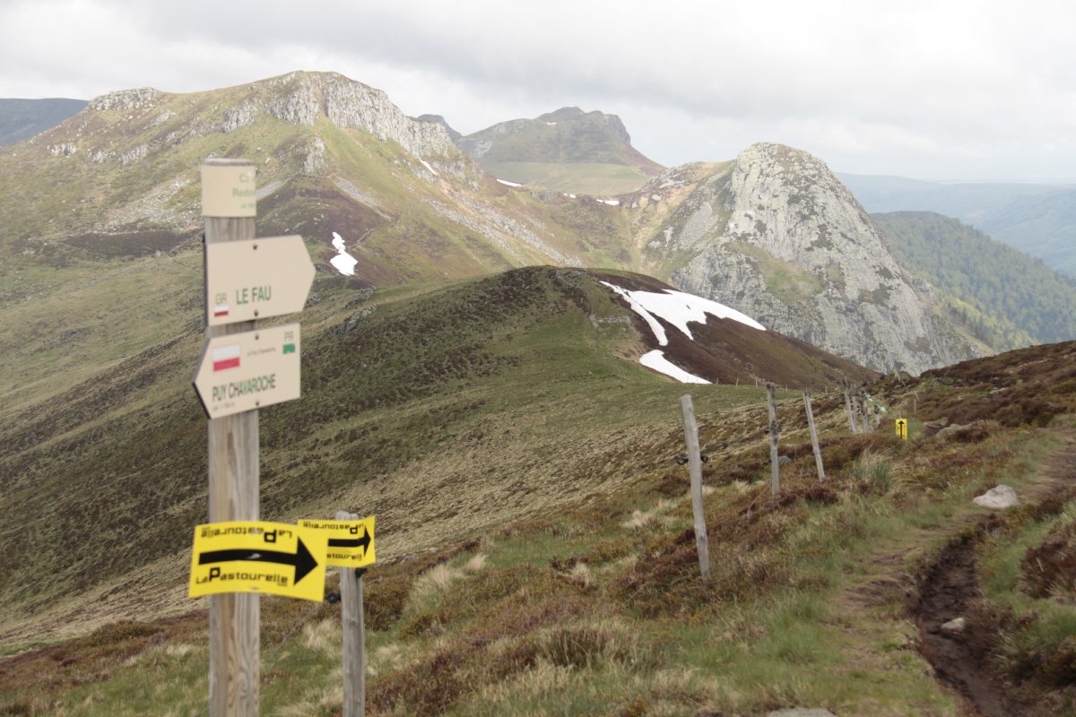
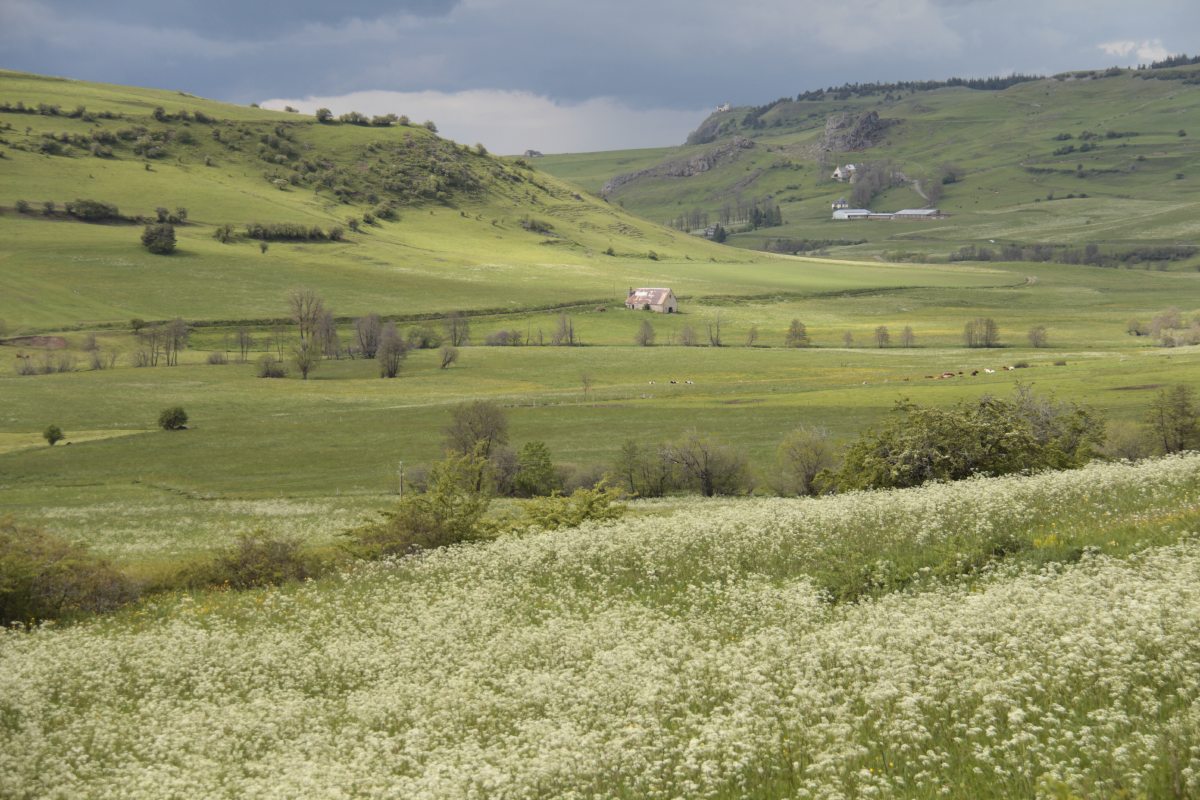
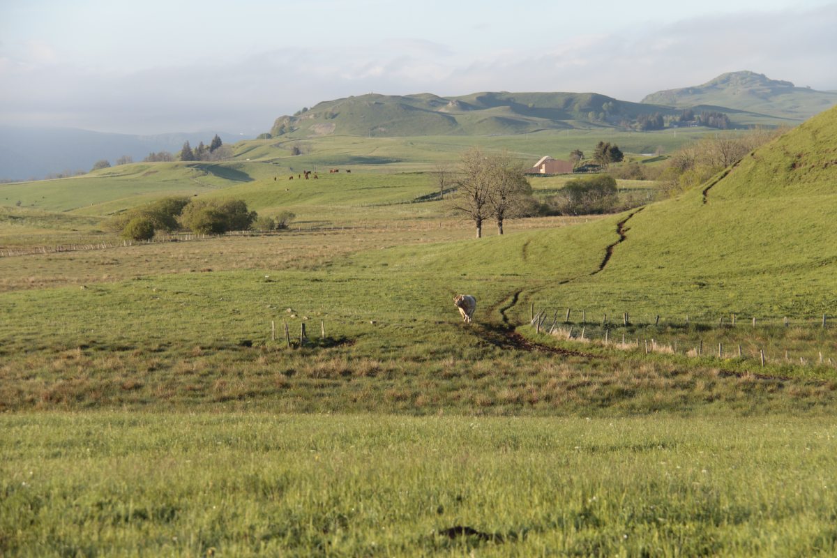
Auvergne – Late May 2014
We drove in from the North, and had 2 nights in Apchon, walking in the central area.
|
|
|
|
View from the
castle ruin,
S over Apchon ... |
... and N to Sancy |
Start of the walk,
looking back at
be-clouded PuyMary |
Atop the ridge,
looking S |
|
|
|
|
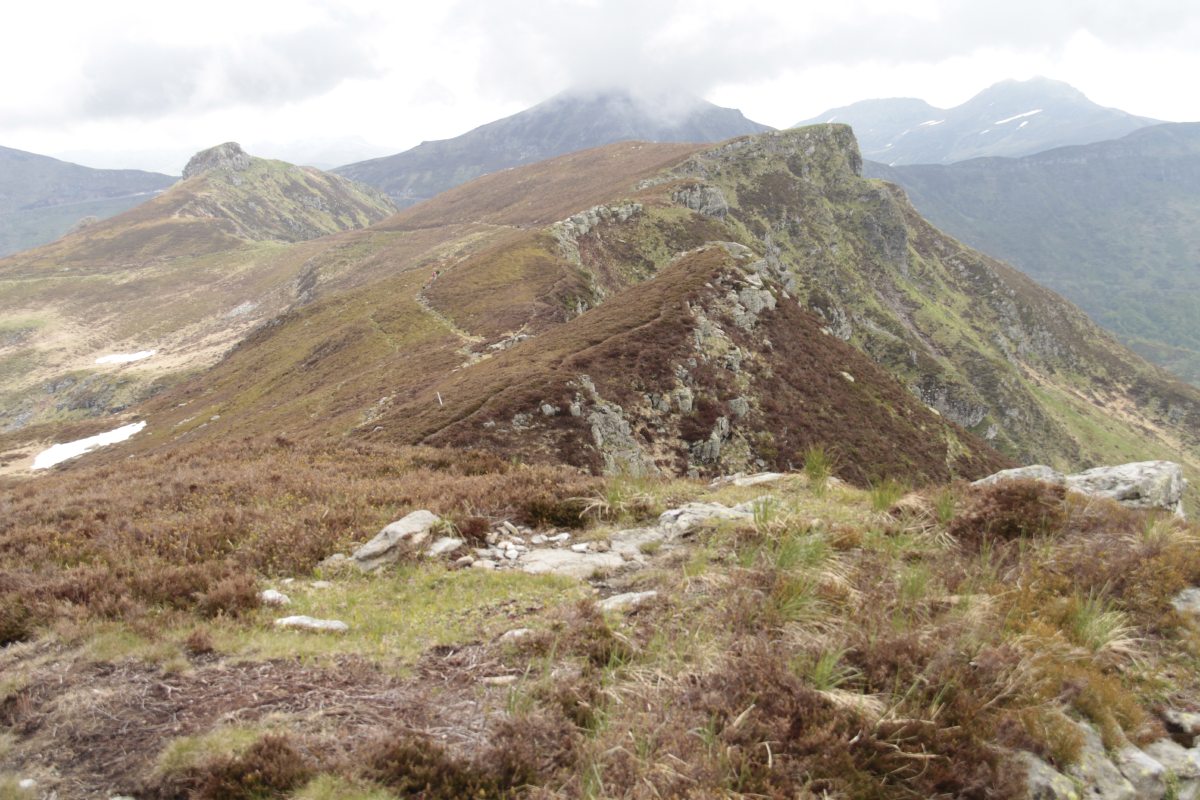
After walking along
that ridge, looking
back to Puy Mary |
Snapping a succulent
(or being a foreground) |
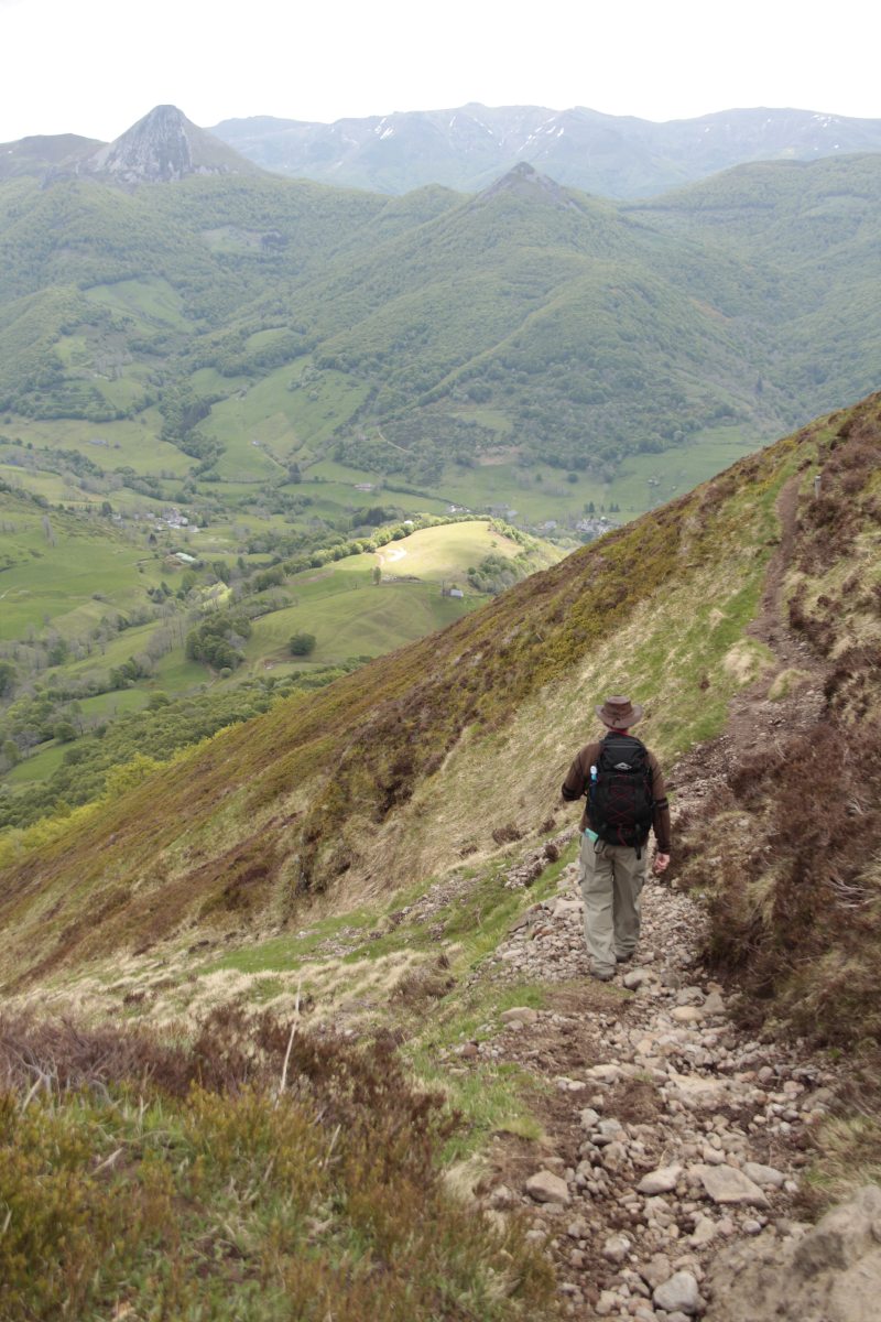
Coming down
off the ridge |
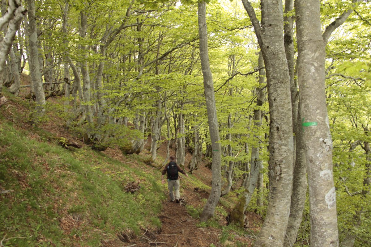
Through the
BeechWoods |
|
|
|
|
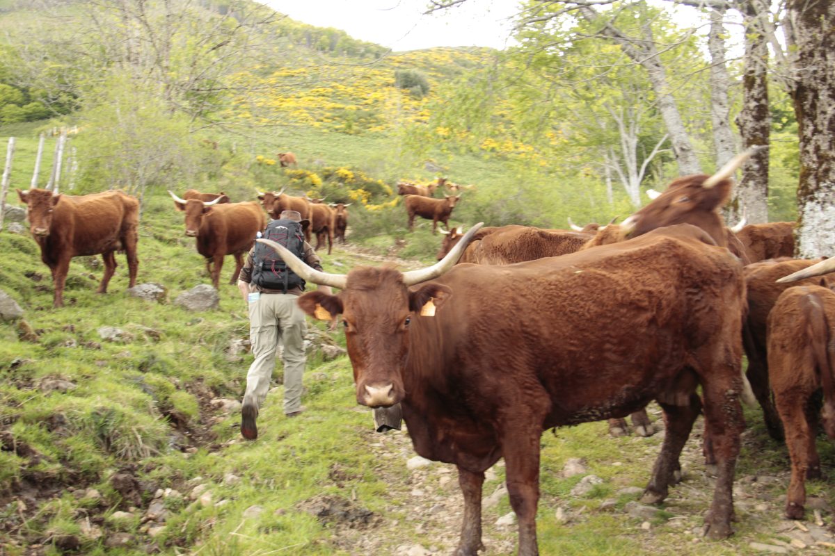
Competing for space
with the local
Saler cattle |
A beechwood, trying
to look mysterious |
On the way back to
Apchon that evening |
Just S of Apchon,
the next morning |
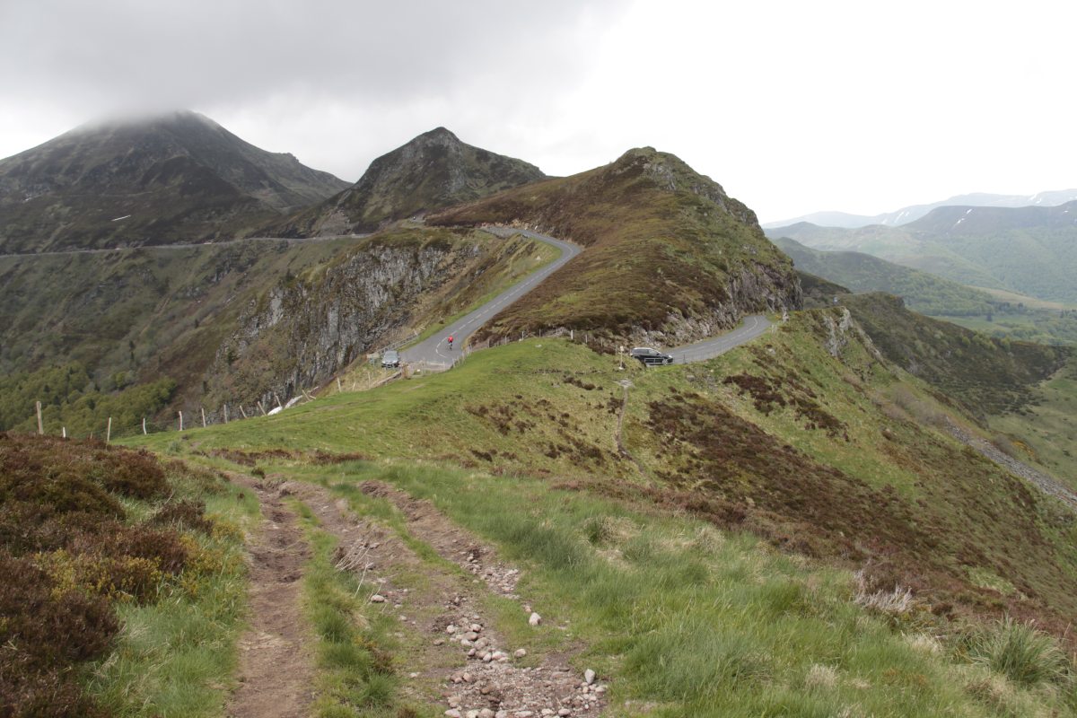
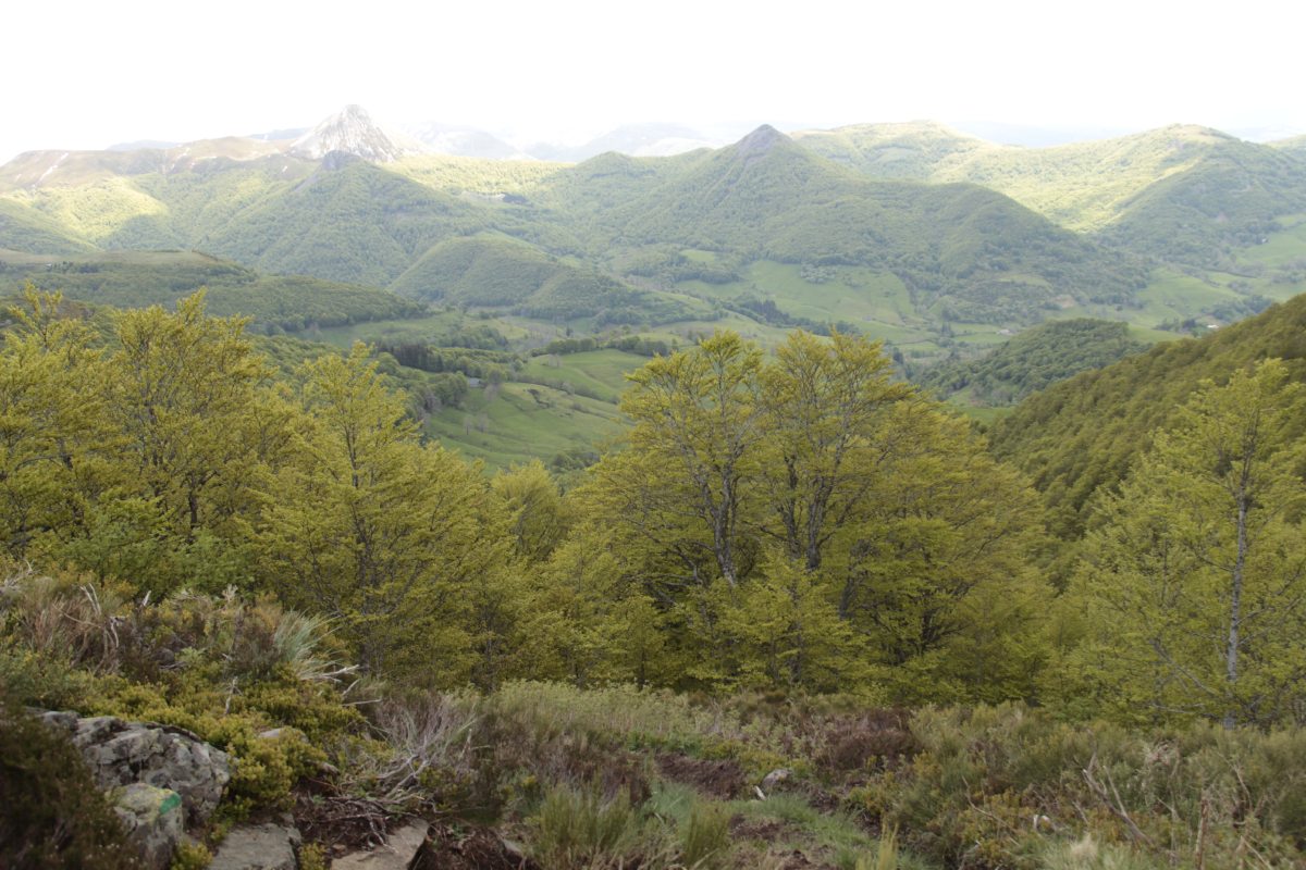
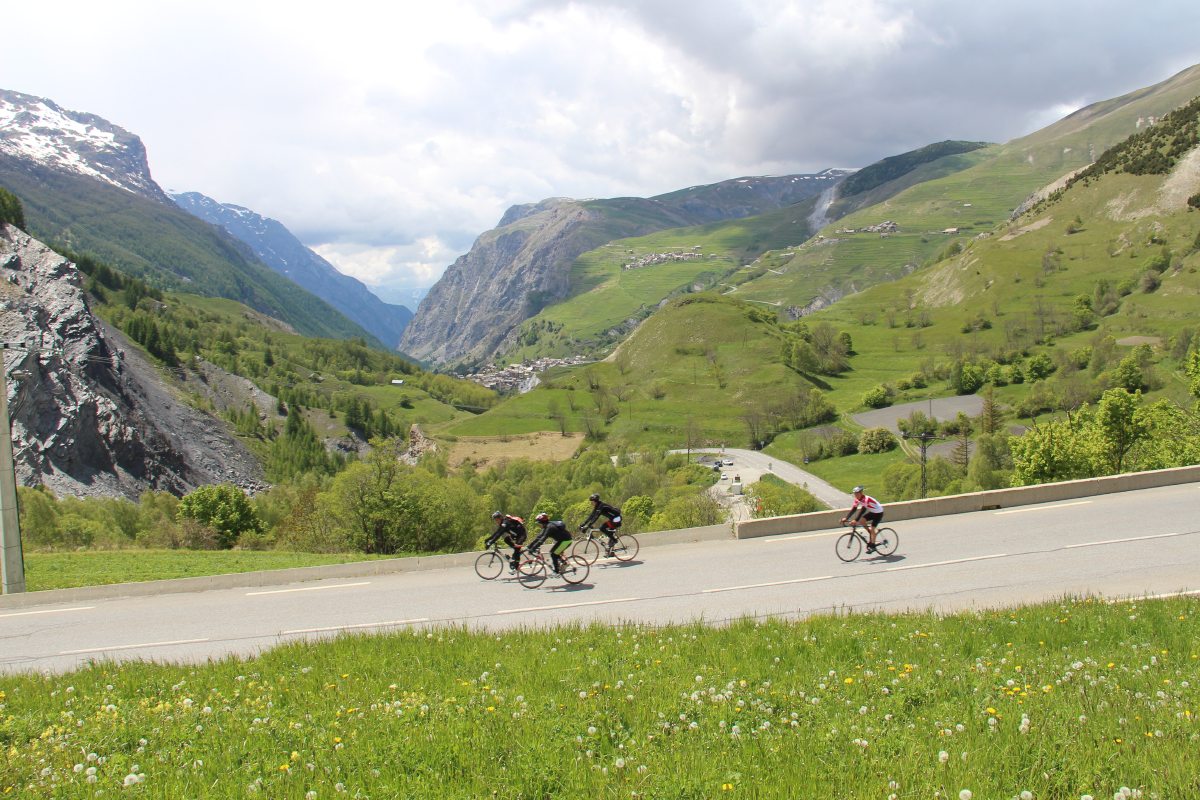
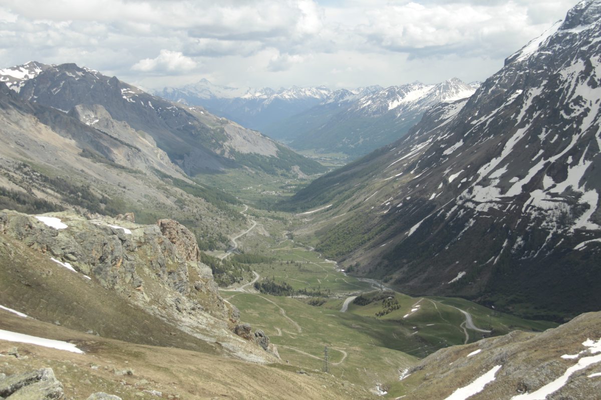
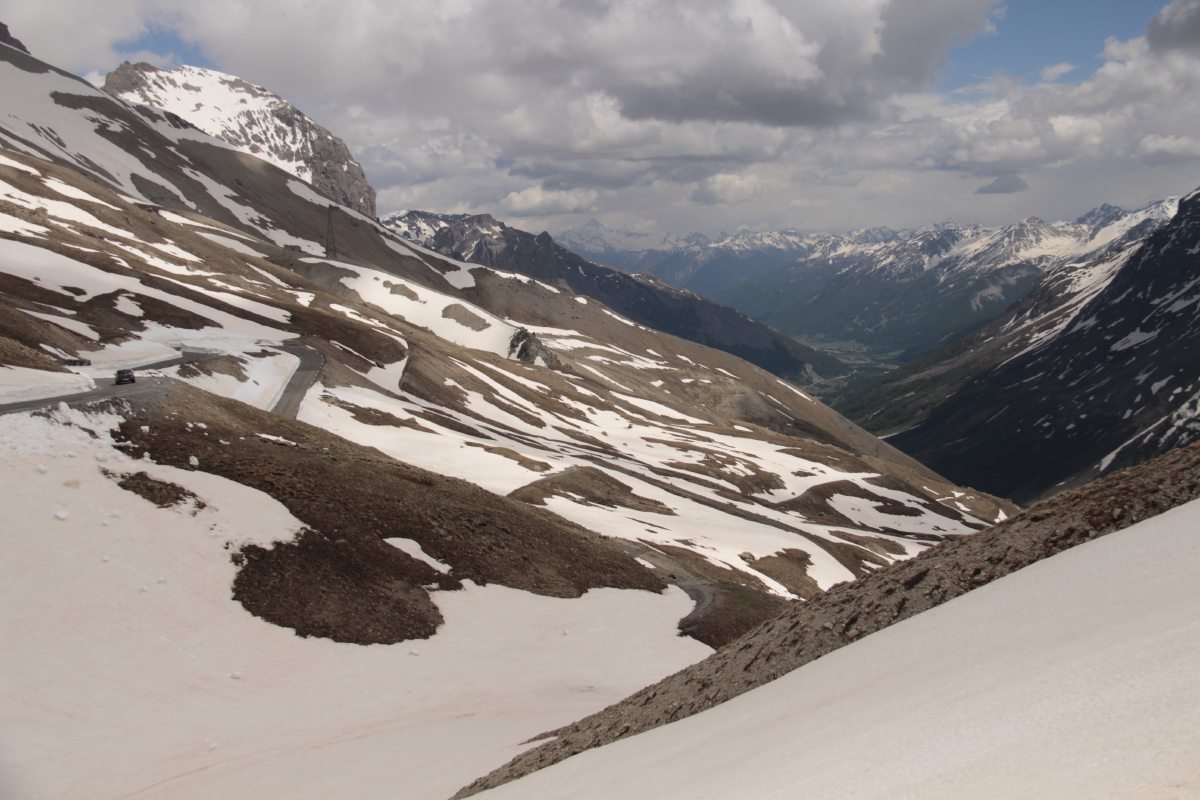
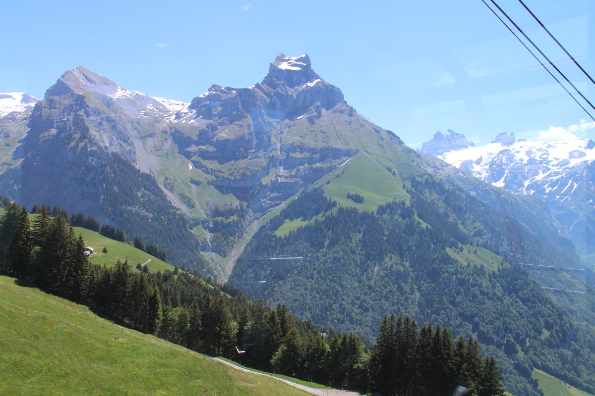
The French Alps – Late May 2014
We drove from the East, via Grenoble to Briancon
|
|
|
|
West of Grenoble |
Up the southern side
of the valley ... |
... to the
Galibier Pass |
To Briancon, near
the Italian border |
Italy – en route
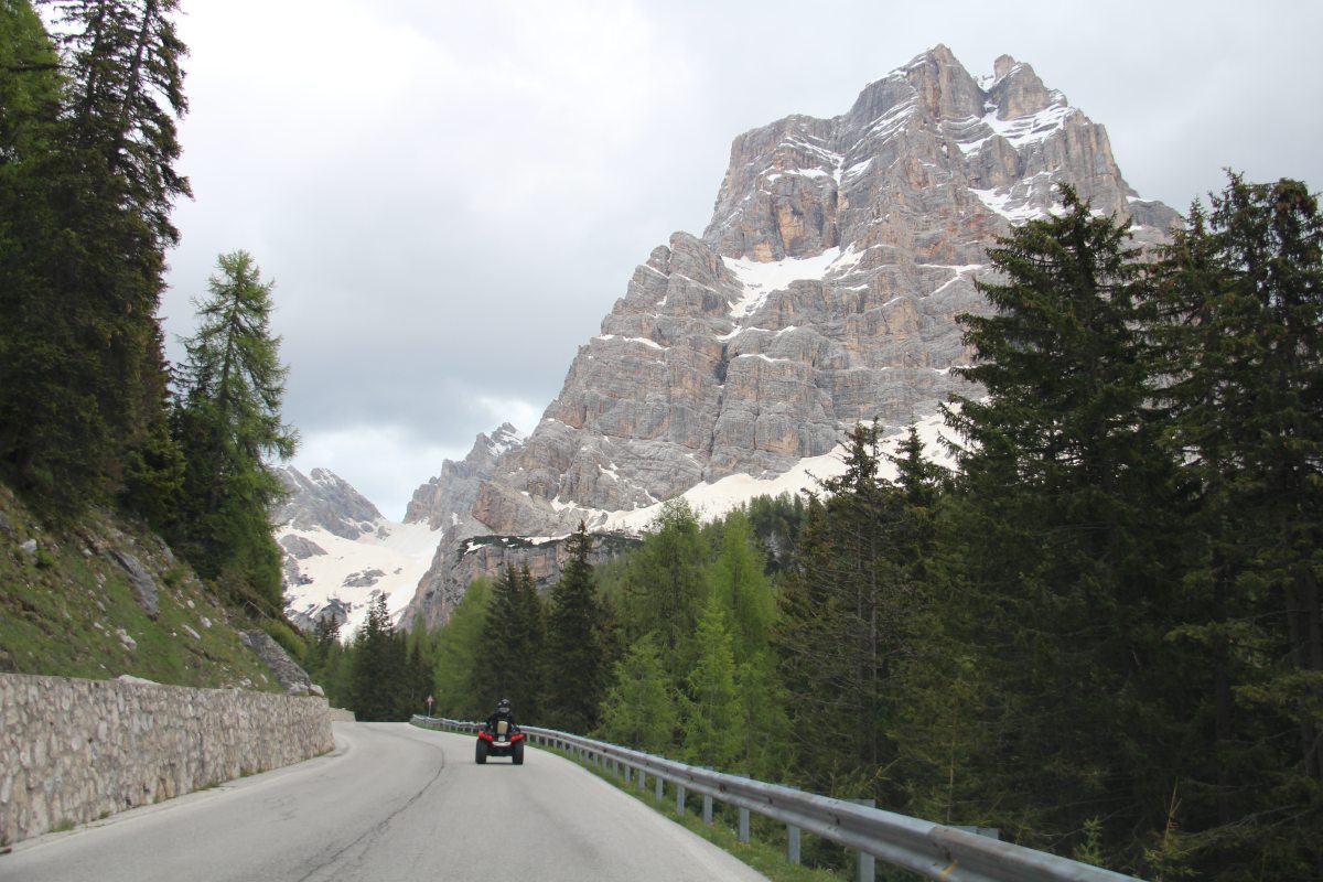
Dolomites – The Very End of May 2014
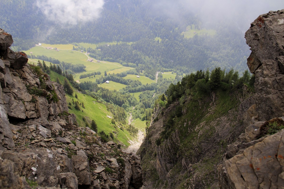
We had 1 night in Enego, in the very south of the Dolomites, then drove northwards over the Duran and Giau Passes.
|
|
|
|
The view from our
Pension, Puffele |
... above the
lower Valsugana |
The complex junction
on the valley floor ... |
The Dolomites just
can't stop themselves.
Nth of Belluno |
|
|
|
|
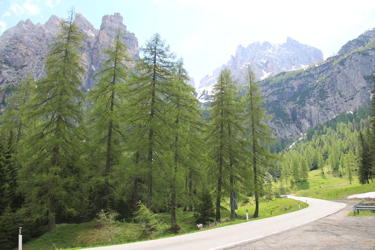
This time
with Larches |
Further up one
of the passes |
Between Passo Duran
and Passo Giau |
|
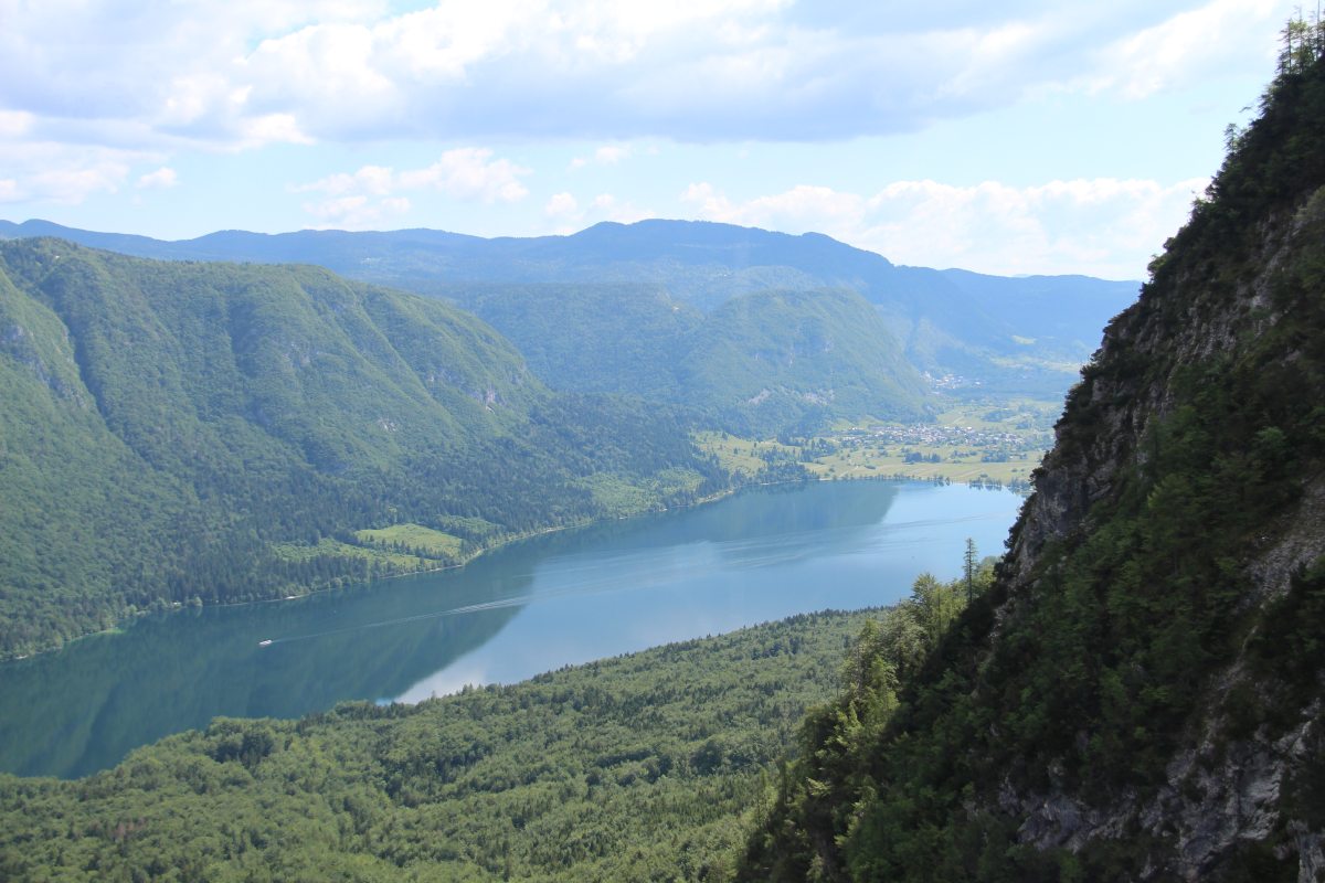
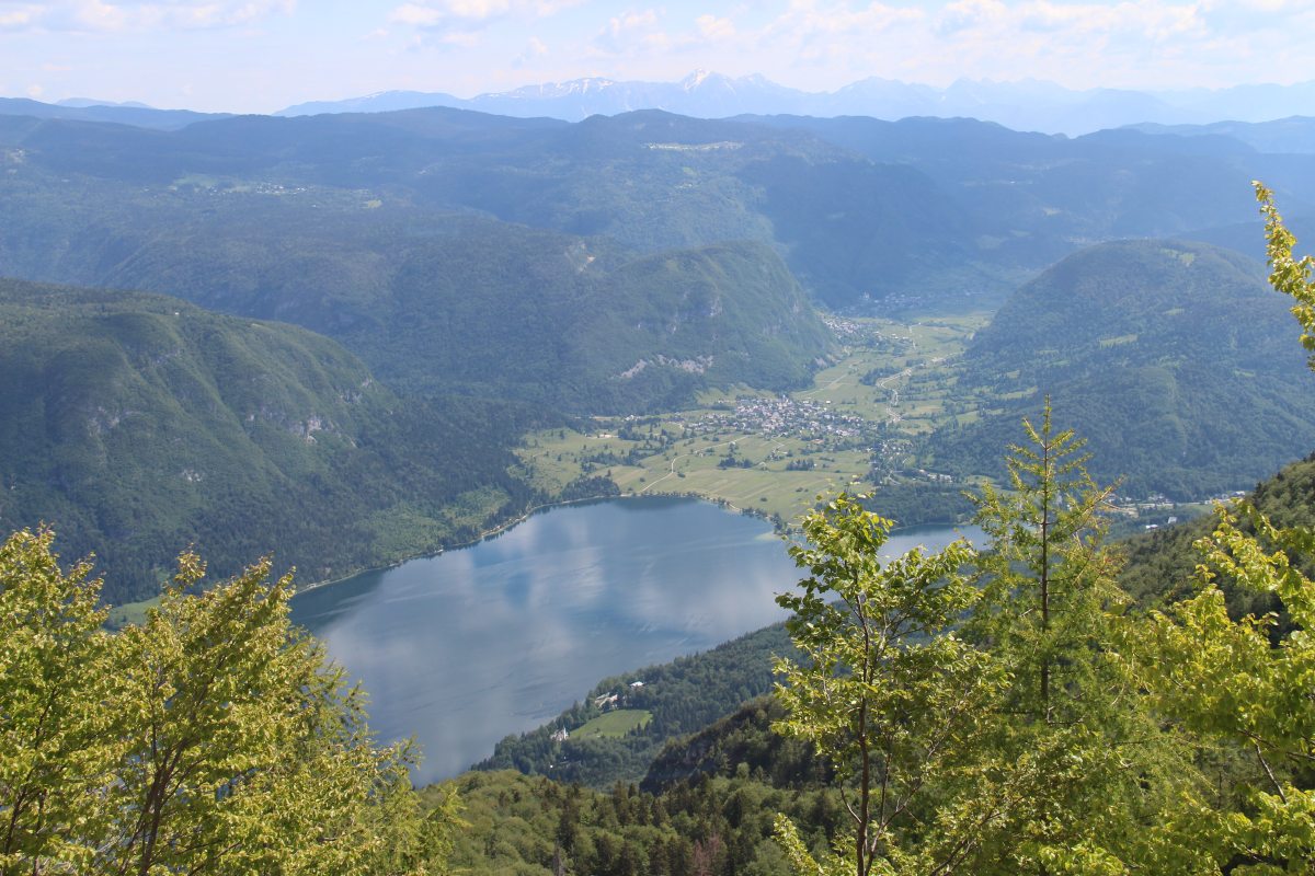
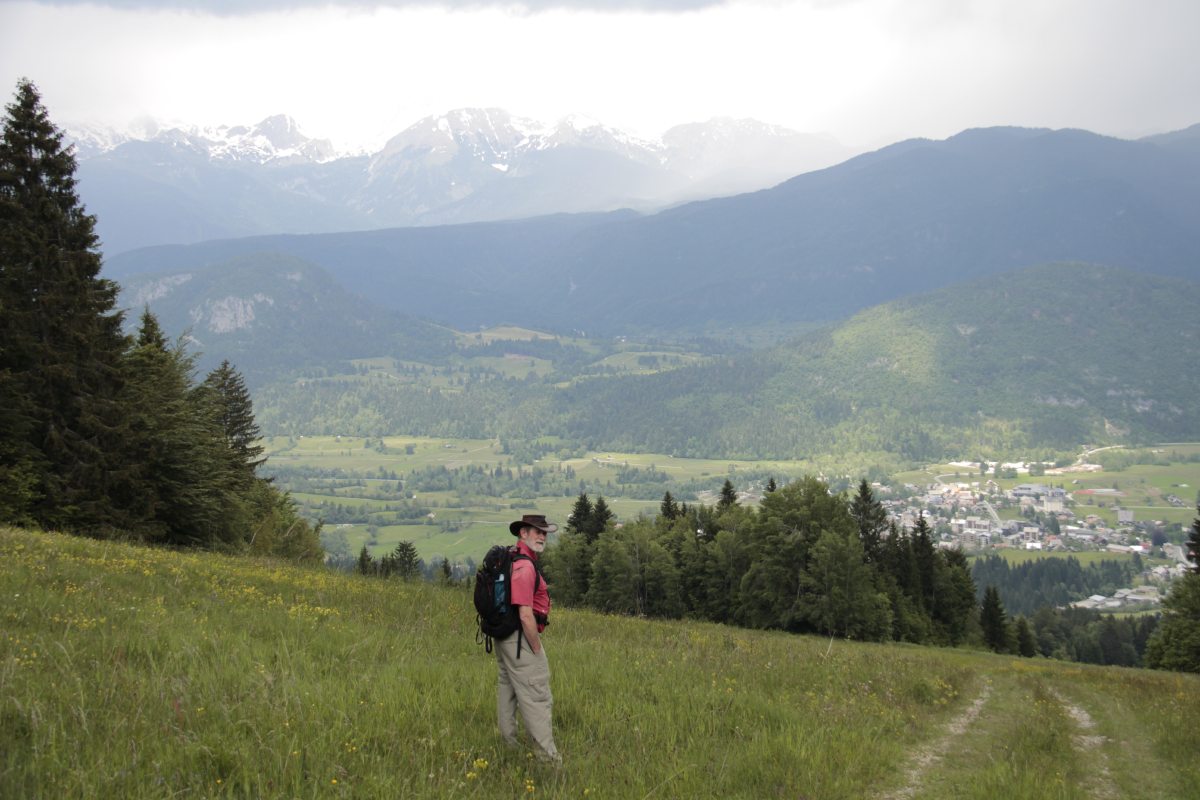
Slovenia – The Beginning of June 2014
We had 4 nights in Bled, with Roger mostly at the conference and Linda mostly up mountains.
|
|
|
|
Lake Bohinj, NNE
from the cable-car |
NE, over Stara Fuzina
to the Karawanken |
S, towards
Mt Vogel |
N over the
Bohinj valley |
|
|
|
|
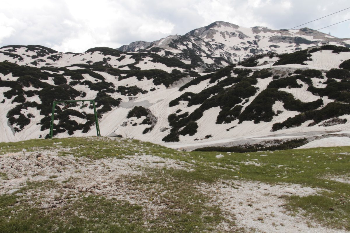
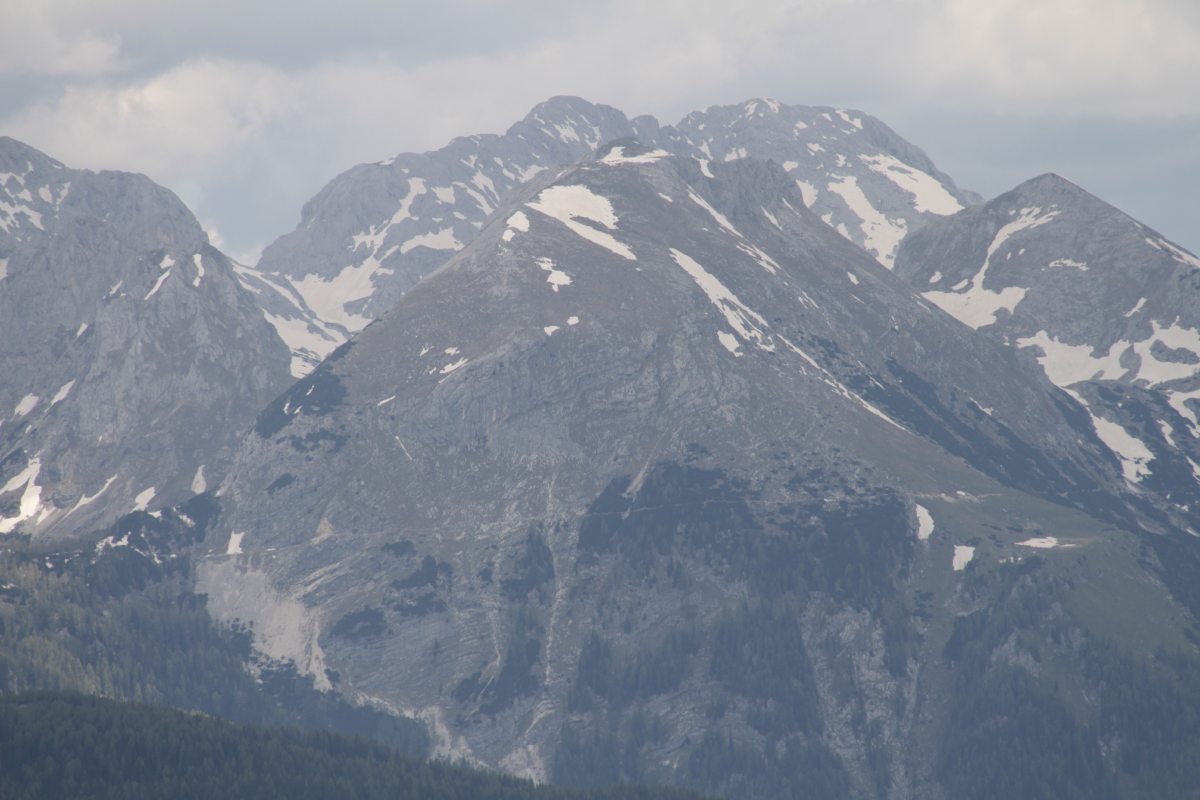
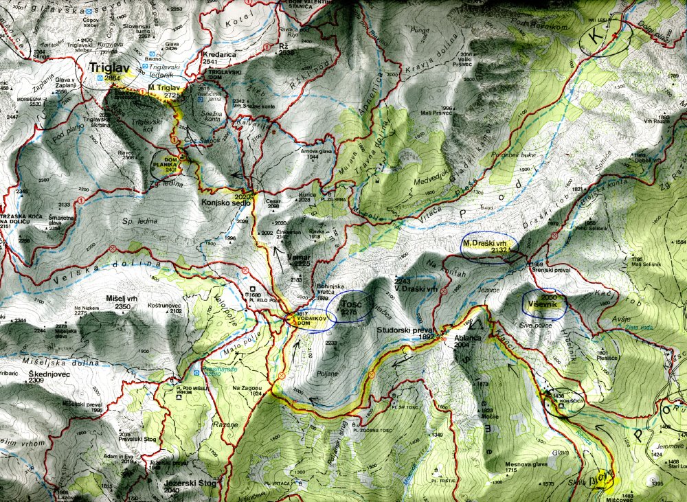
Triglav from the S, using a 200mm lens. In similar conditions in 2011,
we walked from the hut
on the right, left up the snow, up to the right beneath the rockface, and left over Male (Little) Triglav to Triglav itself |
Our path, from the right, along the contour path, and up to the left
Map here |
A closer look at
the contour path
around Tosc |
The Map of that Walk |
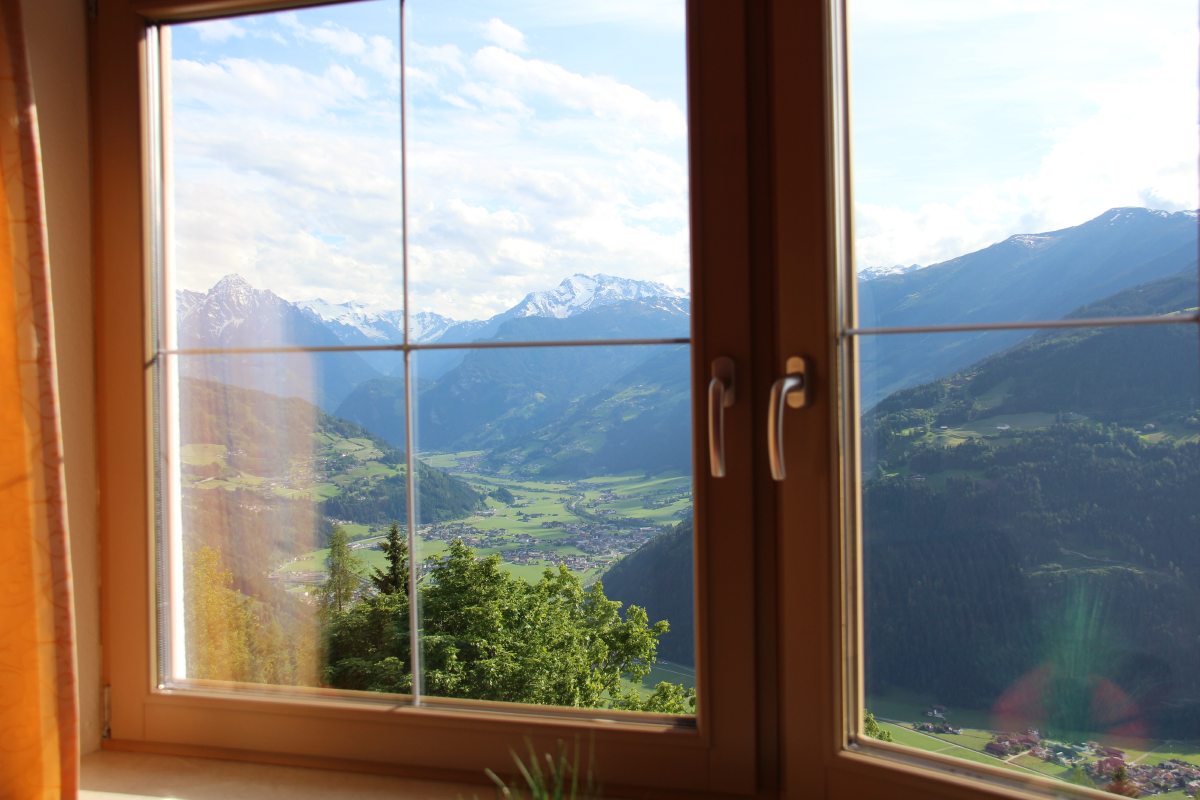
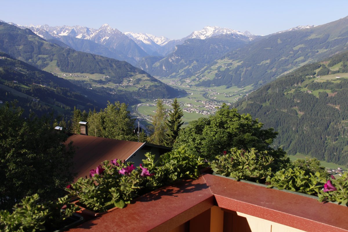
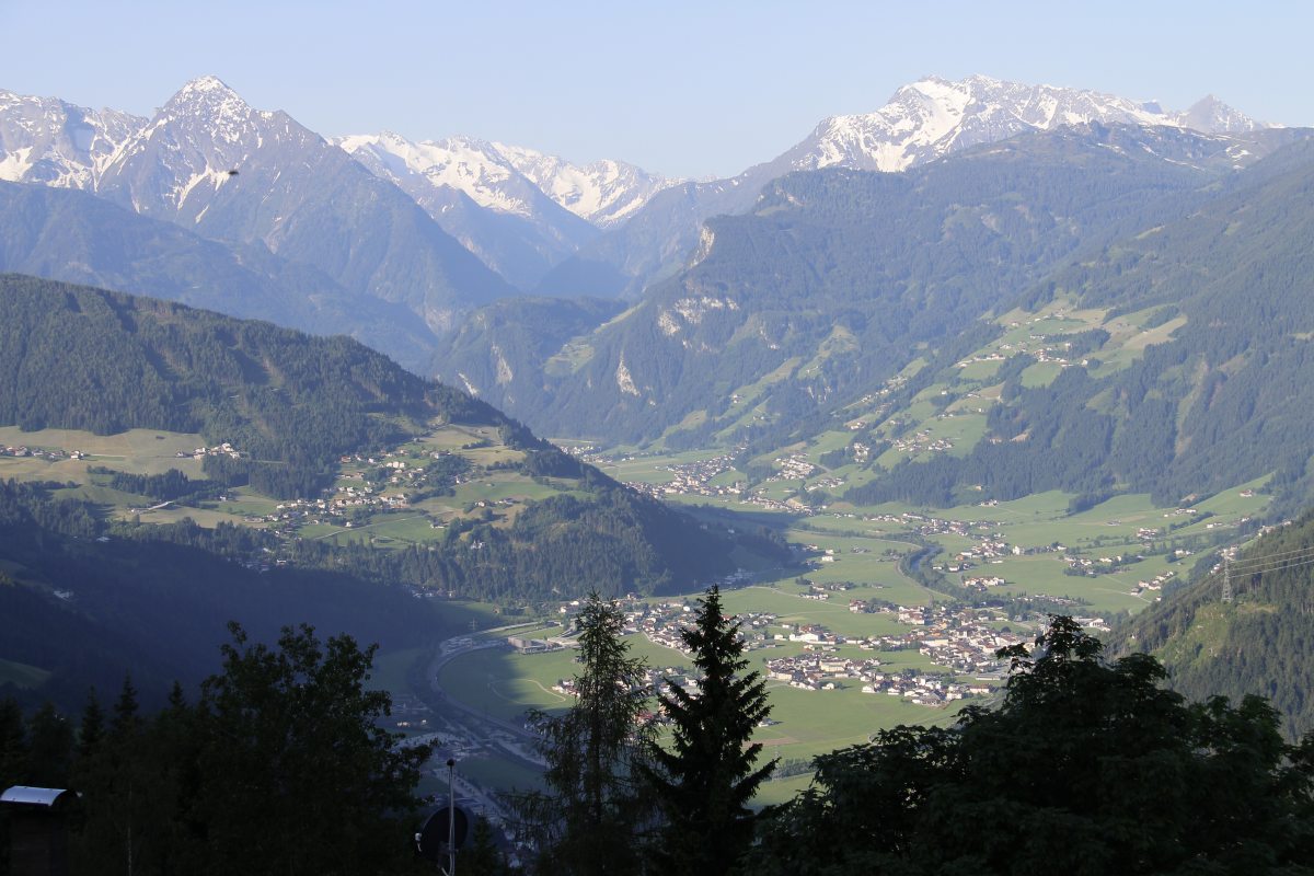
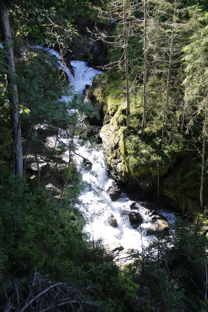
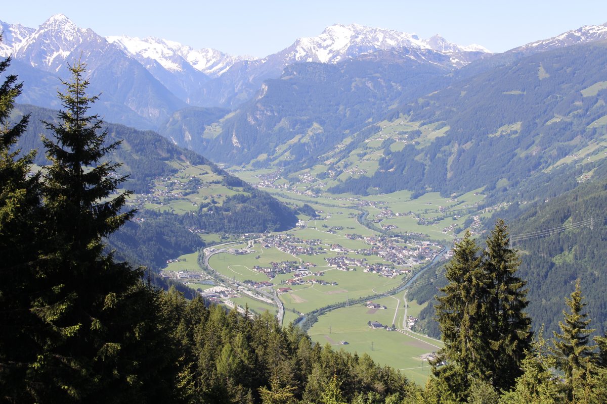
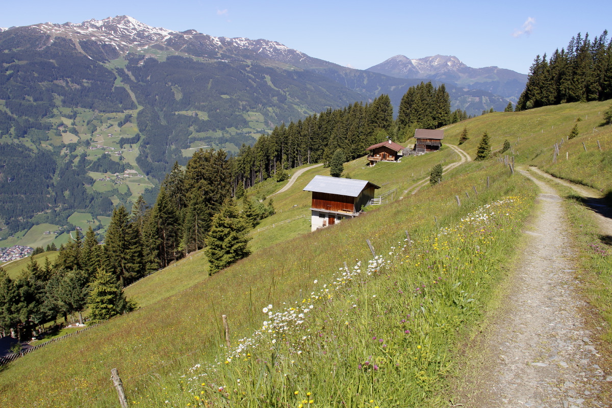
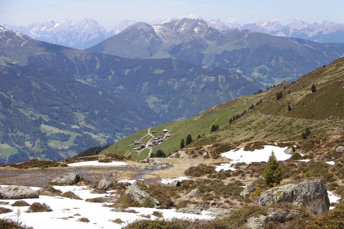
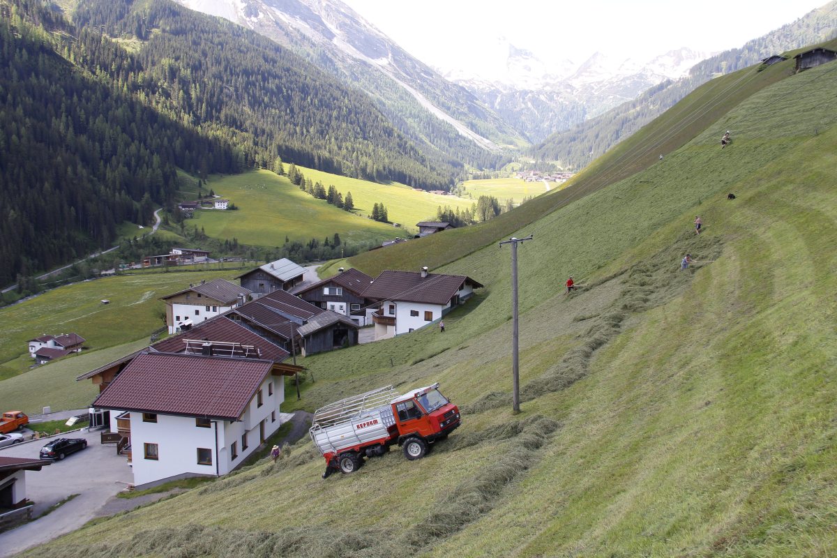
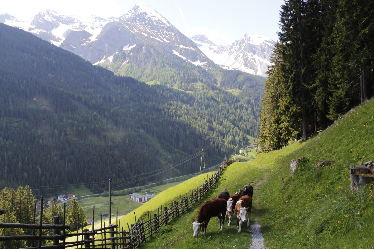
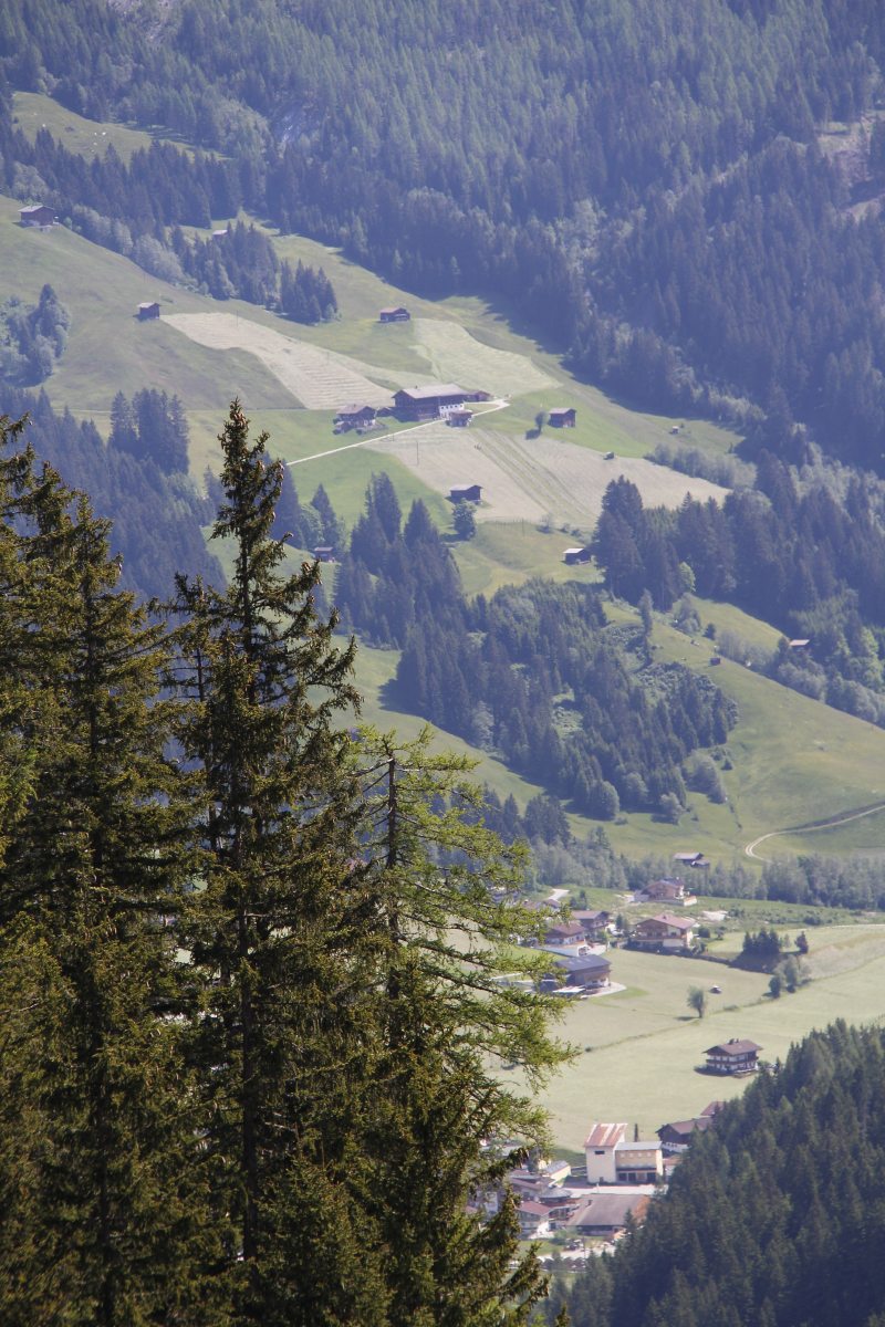
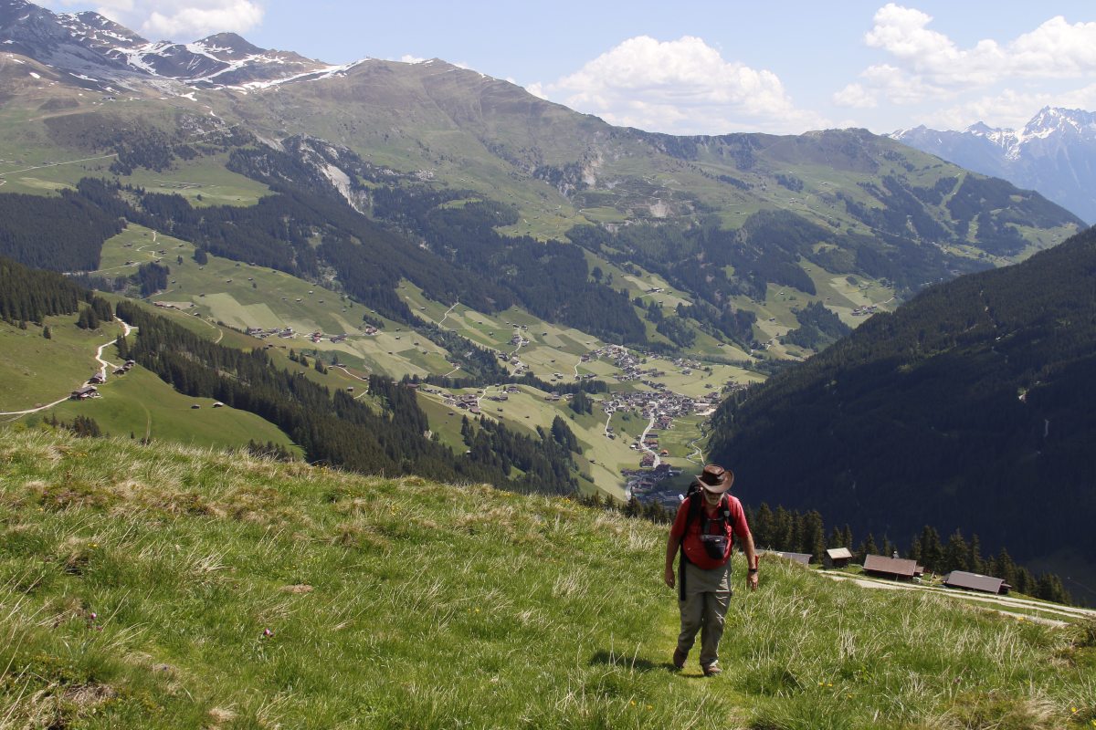
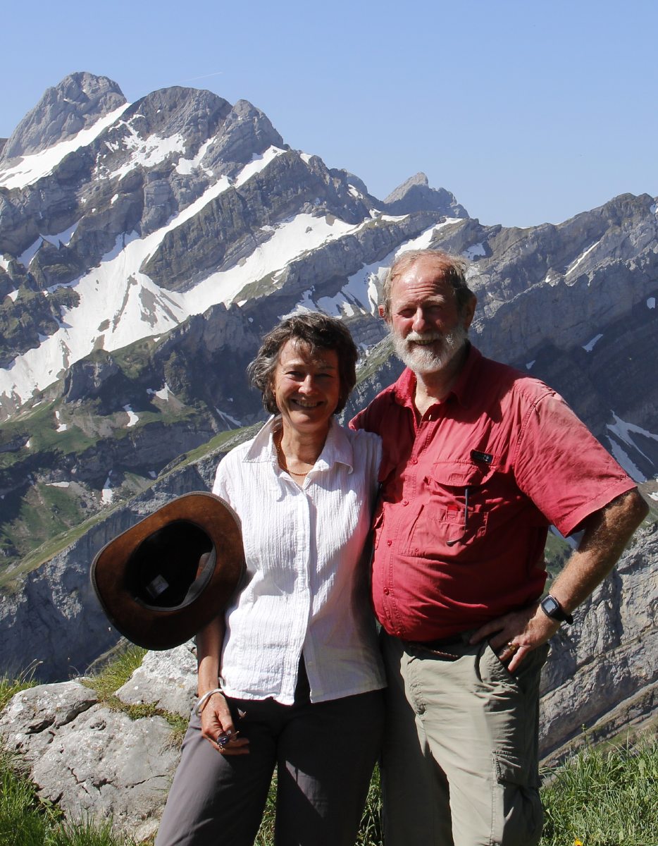
Austria – Early June 2014
The Zillertal
We spent four nights at Restaurant Talblick
1050m
above Aschau in the Zillertal.
It's accessed by a zig-zag c. 10km route up from Stumm. We did three steep
walks in successive days, each 750m-1000m of height. Roger's recovery
after that was slow, so our normal pattern of avoiding big
walks
on
successive
days is a better idea. Firstly, here's the valley-view from the eponymous Talblick:
|
|
|
|
Through the window |
From the balcony |
Morning light,
looking up to
Zell am Ziller |
And another morning |
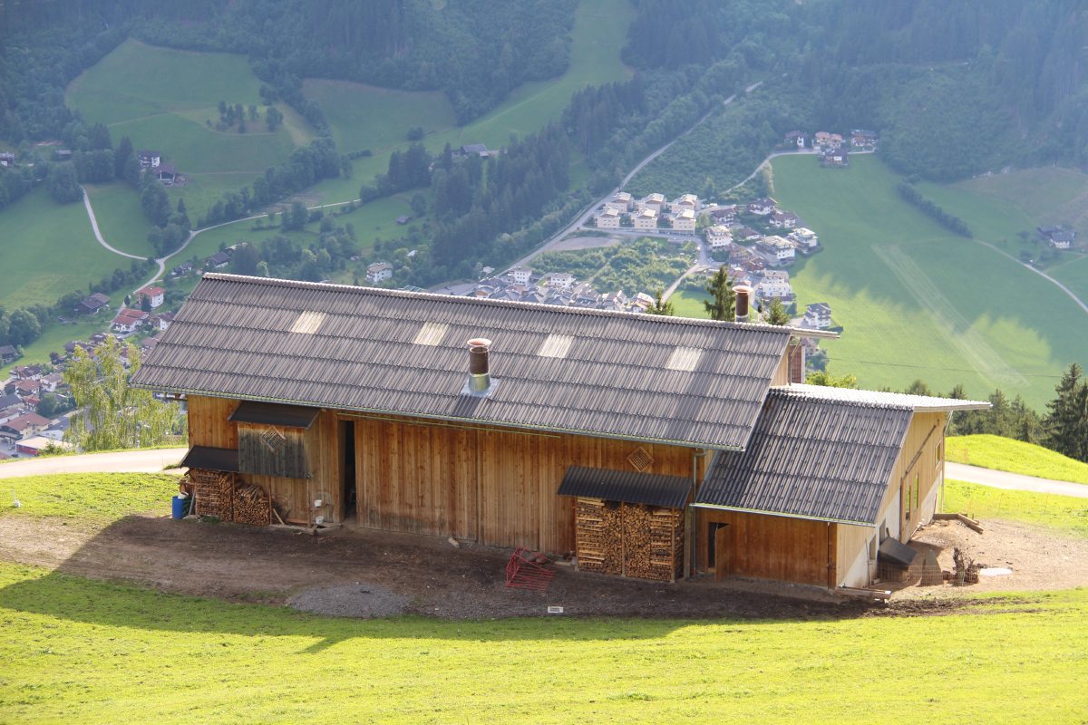
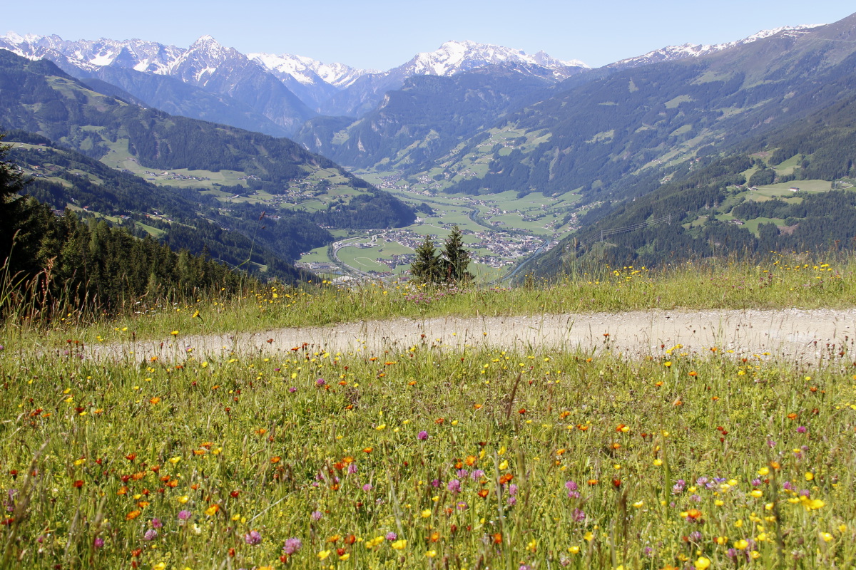
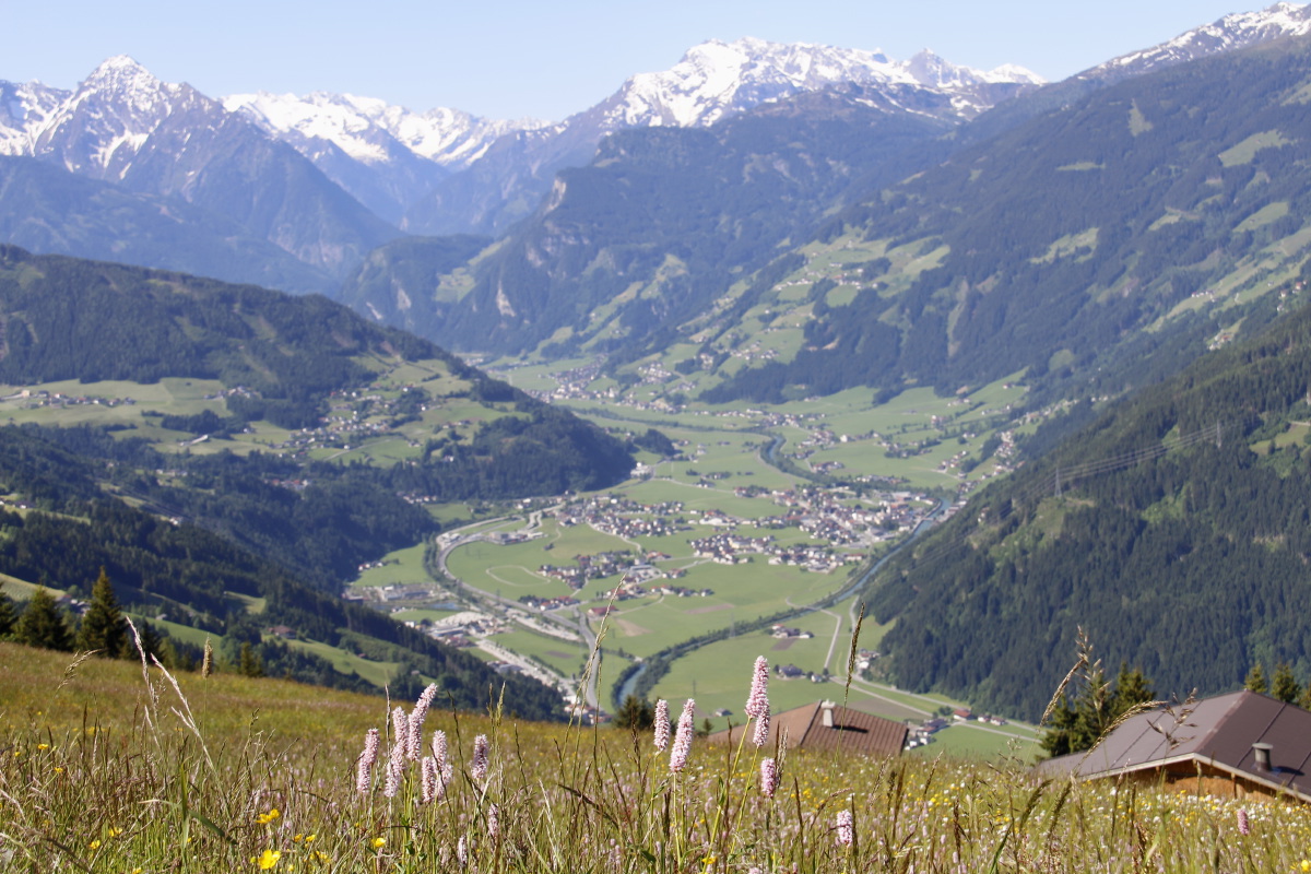
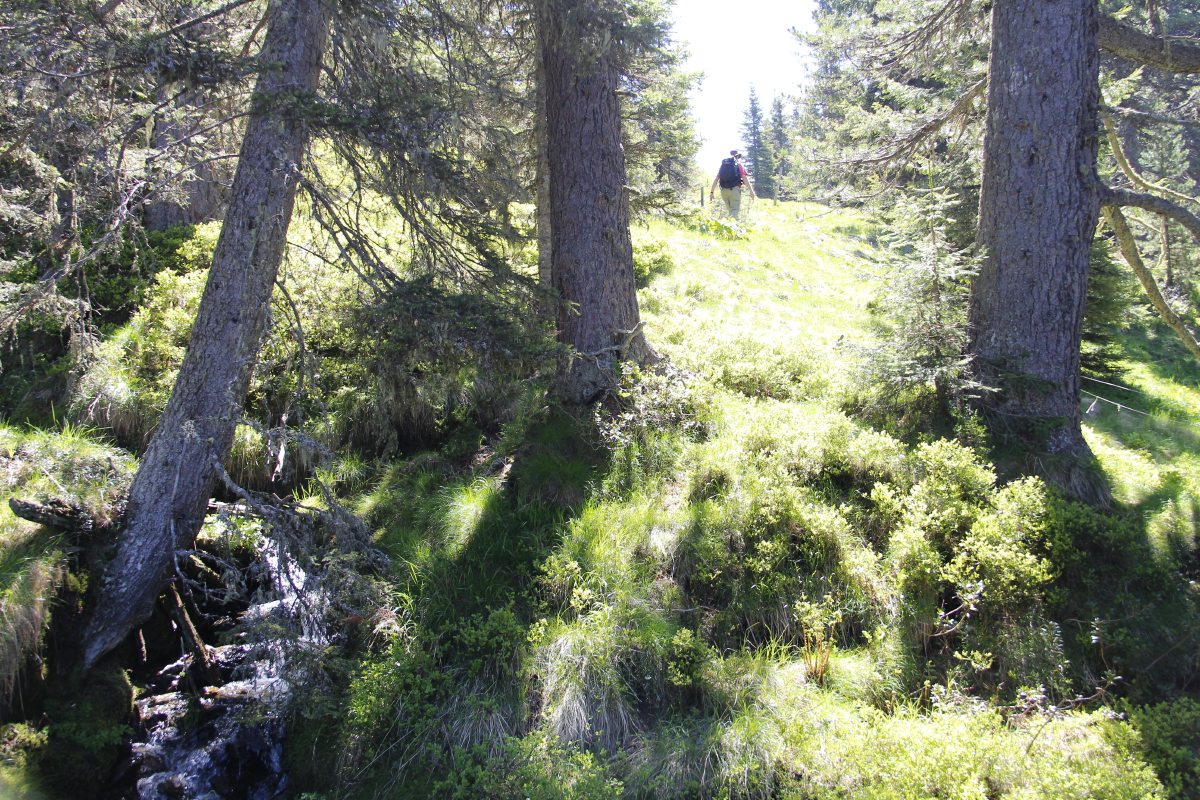
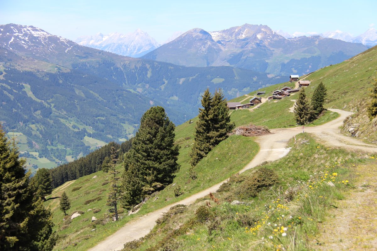
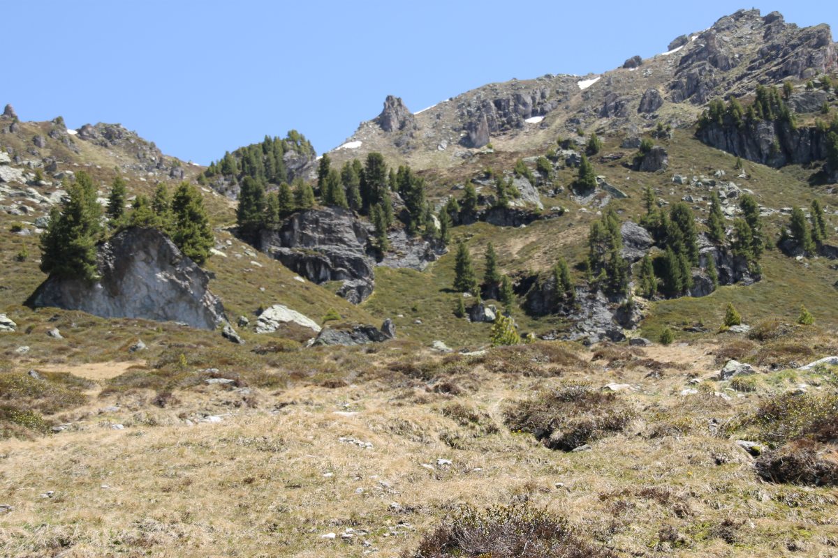
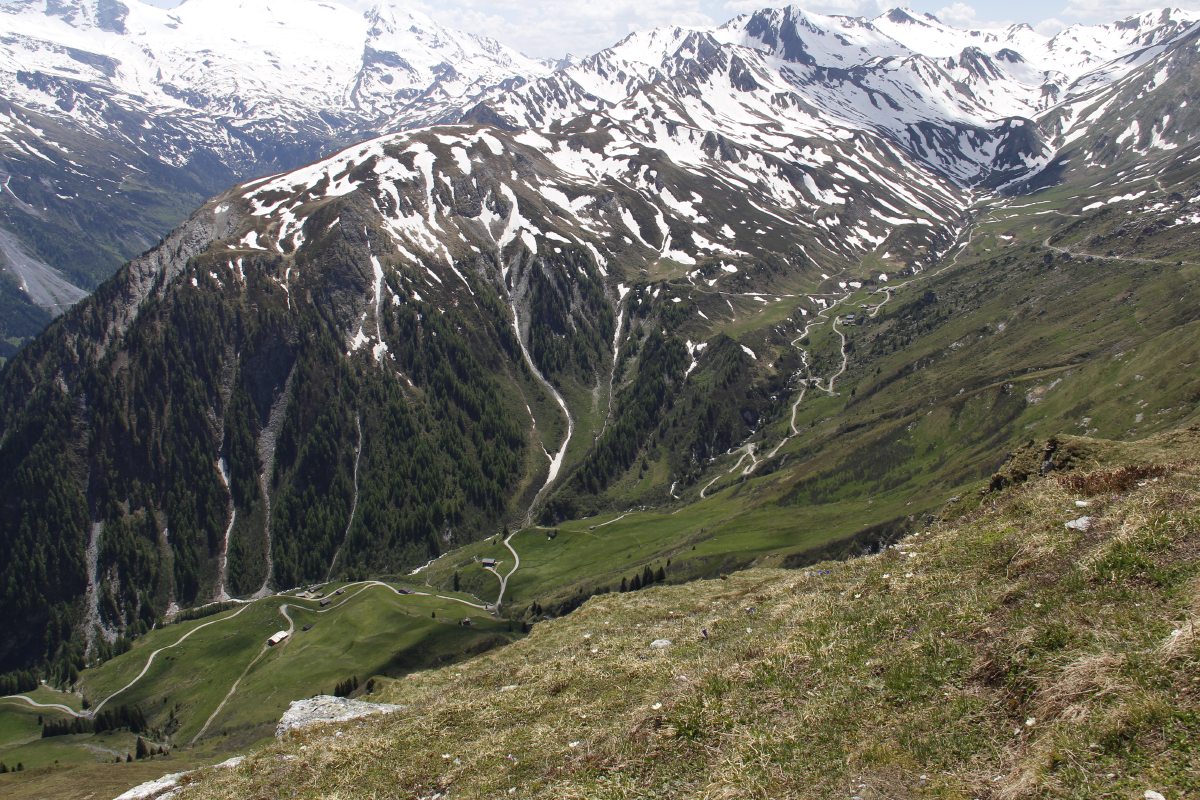
Walk 1 was up the slope from Talblick to Kapauneralm,
but (due to the remaining snow and the fact that it covered the track-markings) we didn't quite get
to the ridge-line overlooking the alpine lakes:
|
|
|
|
Starting from Talblick |
Briefly up the gully |
Zillertal from
above Talblick |
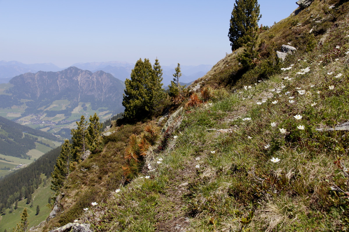
Alpine meadow flowers
above the valley |
|
|
|
|
Bistort and Zillertal |
More flowers,
sheds, view |
Through the last
of the woods |
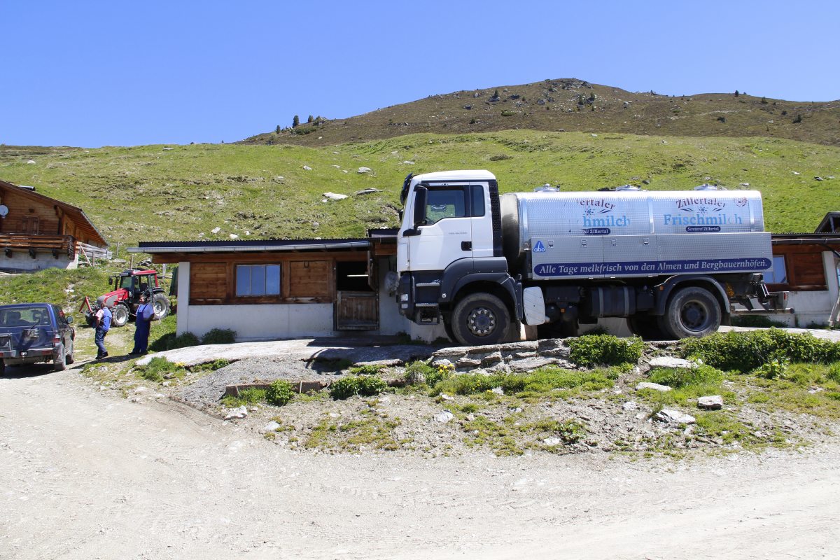
Above Kapauneralm |
|
|
|
|
How Kapauneralm milk
is picked up these days |
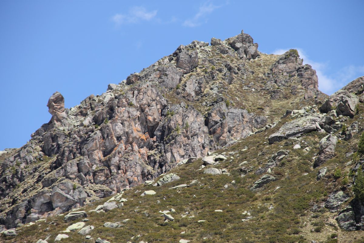
Reaching the snowline |
The rockwalls beneath the lip |
And closer up |
|
|
|
|
We weren't the only
ones enjoying the views |
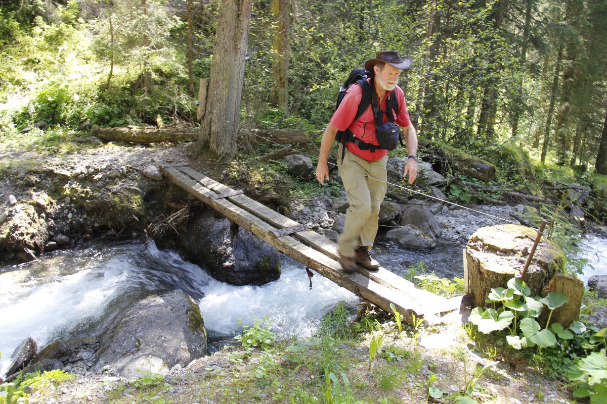
A bridge on the track home |
|
|
Walk 2 was up the side of a nearby valley to the south, the Tuxental, from
Juns at 1400m, NW up the 2395m Grüblspitze (below the Ramsjoch):
|
|
|
|
We parked
just above Juns |
And admired the locals
making hay
while the sun shone |
Not quite steep enough
for mountain goats |
Linda admired
the cut meadows |
|
|
|
|
So did Roger, and,
remarkably, framed it
almost identically |
Climbing the ridge above
Brandalm (steadily) |
Linda arriving at
a vantage-point ... |
... and then taking
almost the same shot |
|
|
|
|
Overlooking the
ski-fields |
Lunch at the top |
We were tempted
by the side-valley ... |
... but opted for
the ridge-line |
|
|
|
|
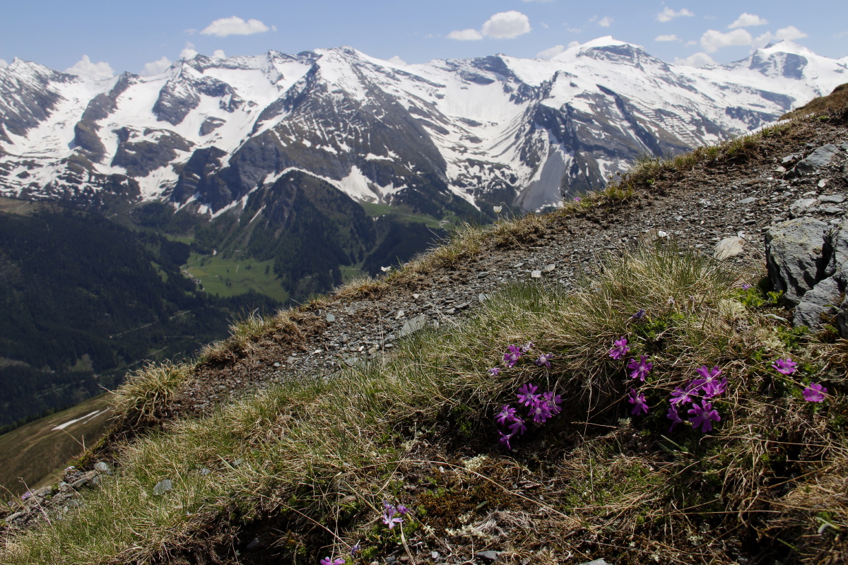
Pasque Flowers ... |
... with a view |
Primula minima
Fairy Primrose ... |
... with a view |
|
|
|
|
Down the Tux valley
towards the Ziller |
Back down to the
forest and a
deeply rutted path |
Still plunging
through the forest |
To the valley, where
everyone was hay-making |
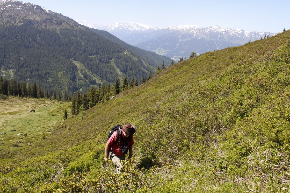
Walk 3 was to the north, east of Gattererberg, from
near the Obweinalm, up to the Dristenjoch (saddle) and the adjacent Kleiner Galtenberg, c.1500-2300m:
|
|
|
|
Early on, targeting
the saddle, high right |
Steeply up,
through deep heather |
Getting some height
now, and looking back
S towards Zell |
At the joch, suddenly
a view into the
next valley |
|
|
|
|
The Dristenkopf
and its saddle |
Looking north,
to the German border |
On up to the East |
And looking back
to the joch below
and West of us |
|
|
|
|
Linda wants to go on
up the Grosser Galtenberg,
(down 50m, up 150m)
but Roger settles
for the Kleiner only |
After lunch, on
the way back down |
Part of the way down,
overlooking the walk.
The car is the black
dot beside the road to
the right of Roger's head |
The Primrose needs to
be Sticky to stay on
vertiginous rock-faces |
|
|
|
|
The colourful face
of the Dristenkopf |
Linda's shot of
Kopf and Joch ... |
... and Roger's shot
of her taking it |
|
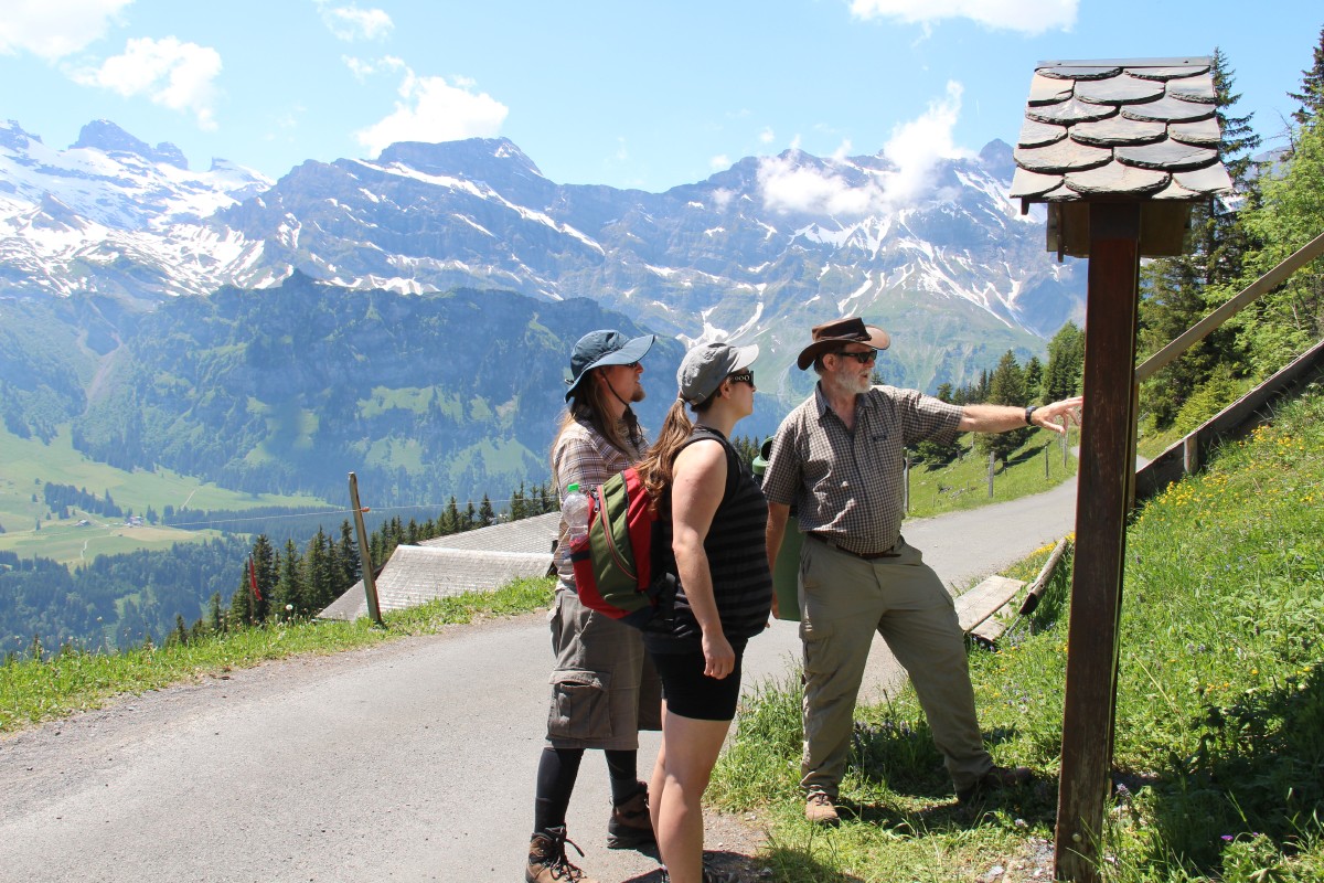
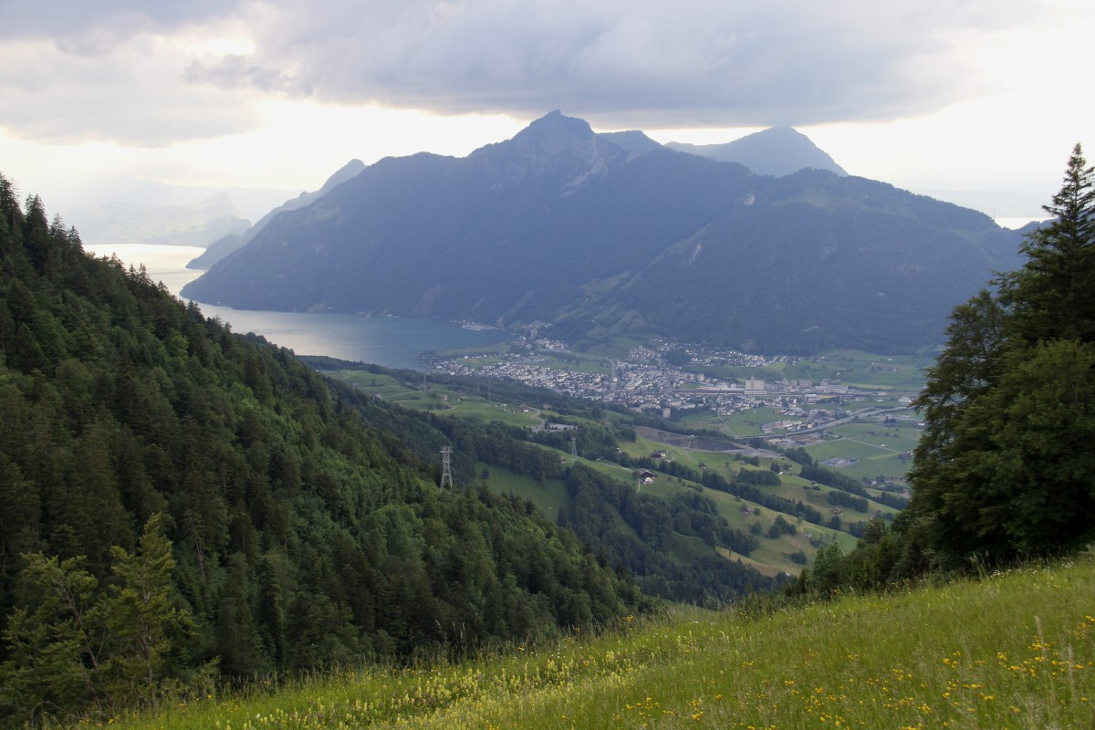
Switzerland – Early-Mid June 2014
We had 2 nights in Appenzell in order to walk on the Säntis massif. After
that we had one night in Zürich, and a week based in Engelberg, south
of Luzern.
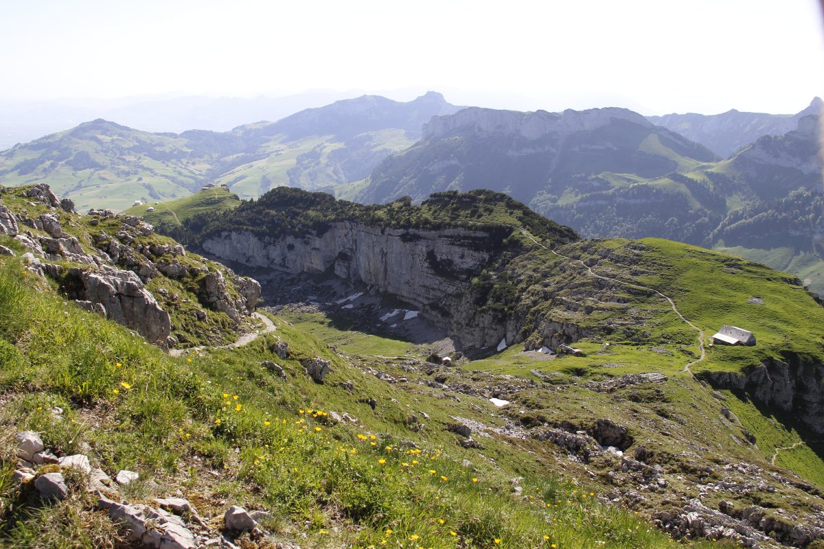
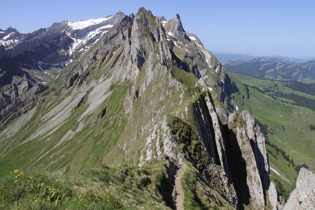
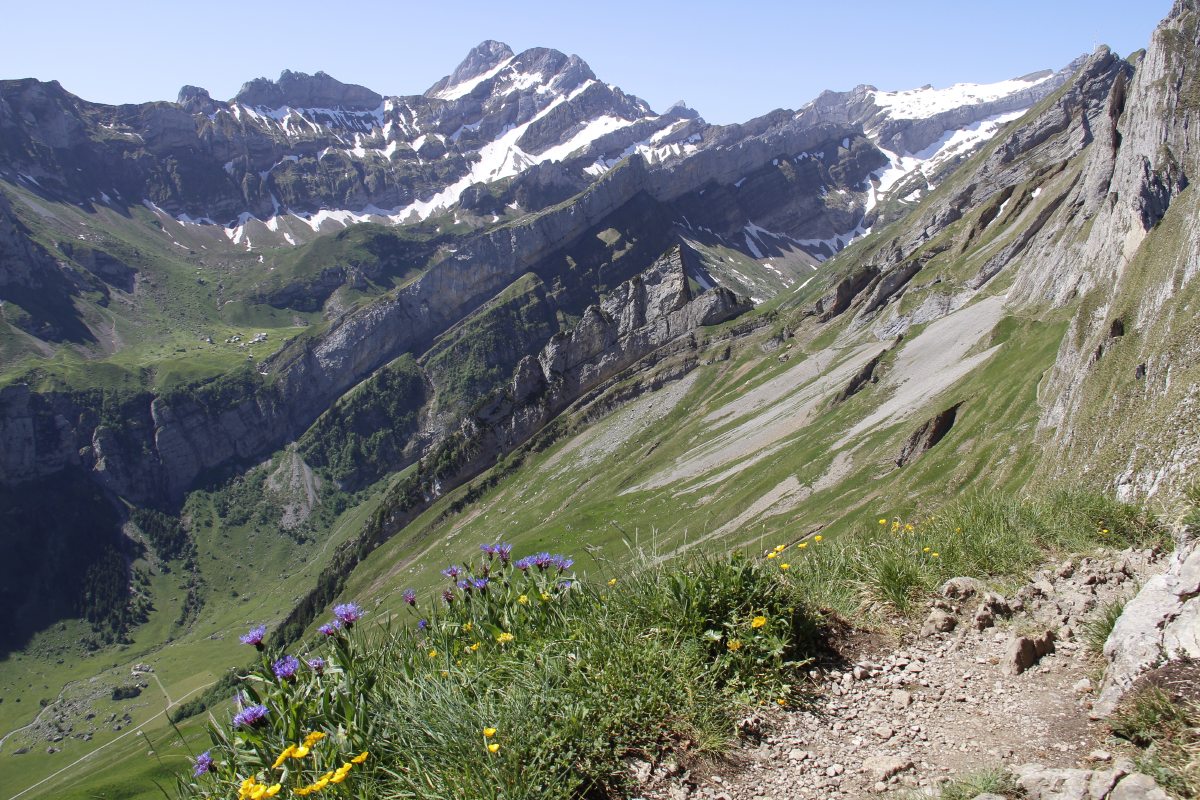
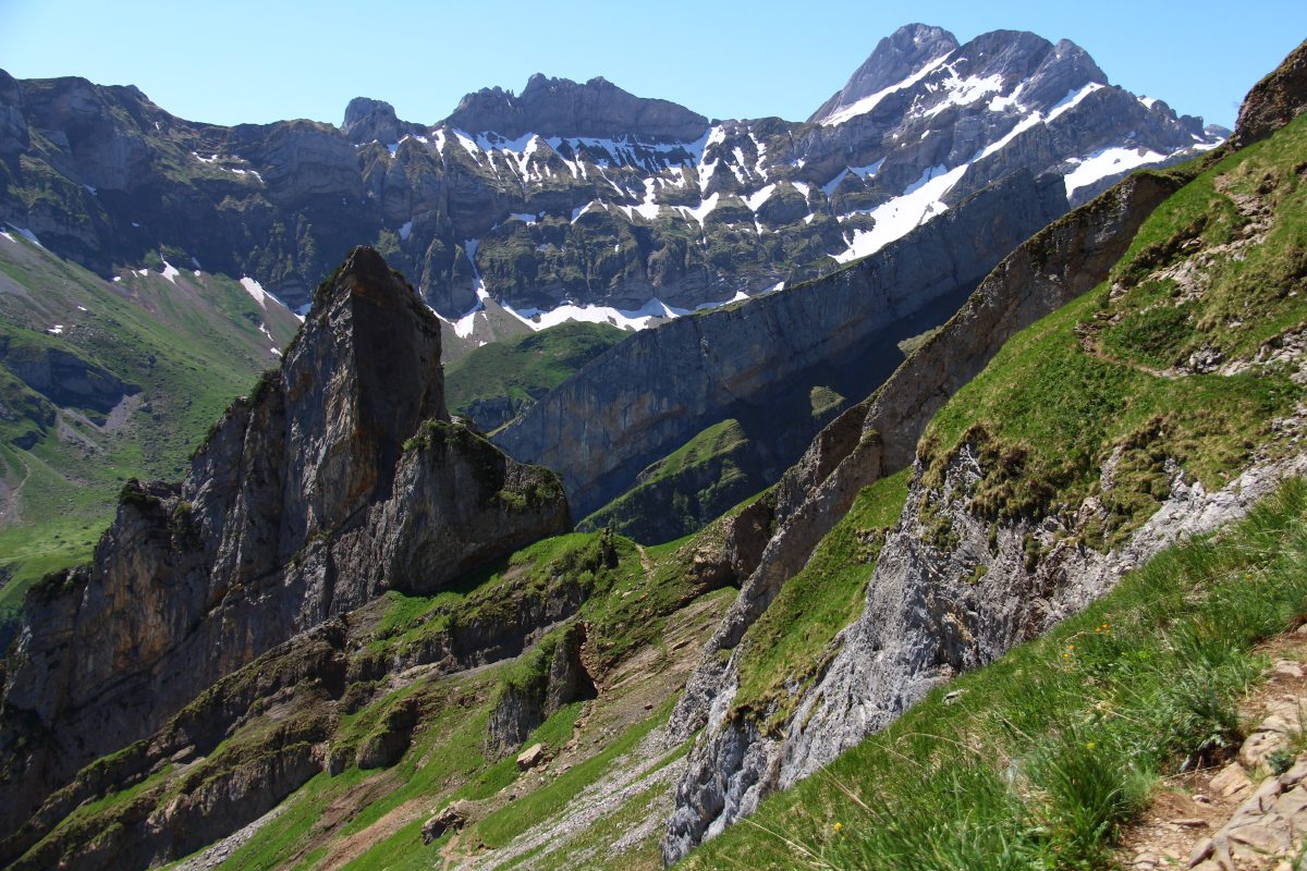
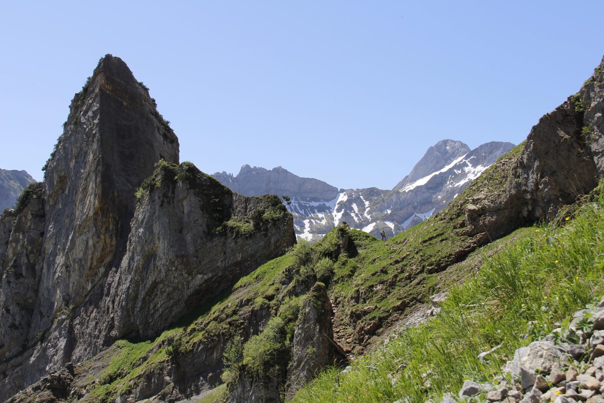
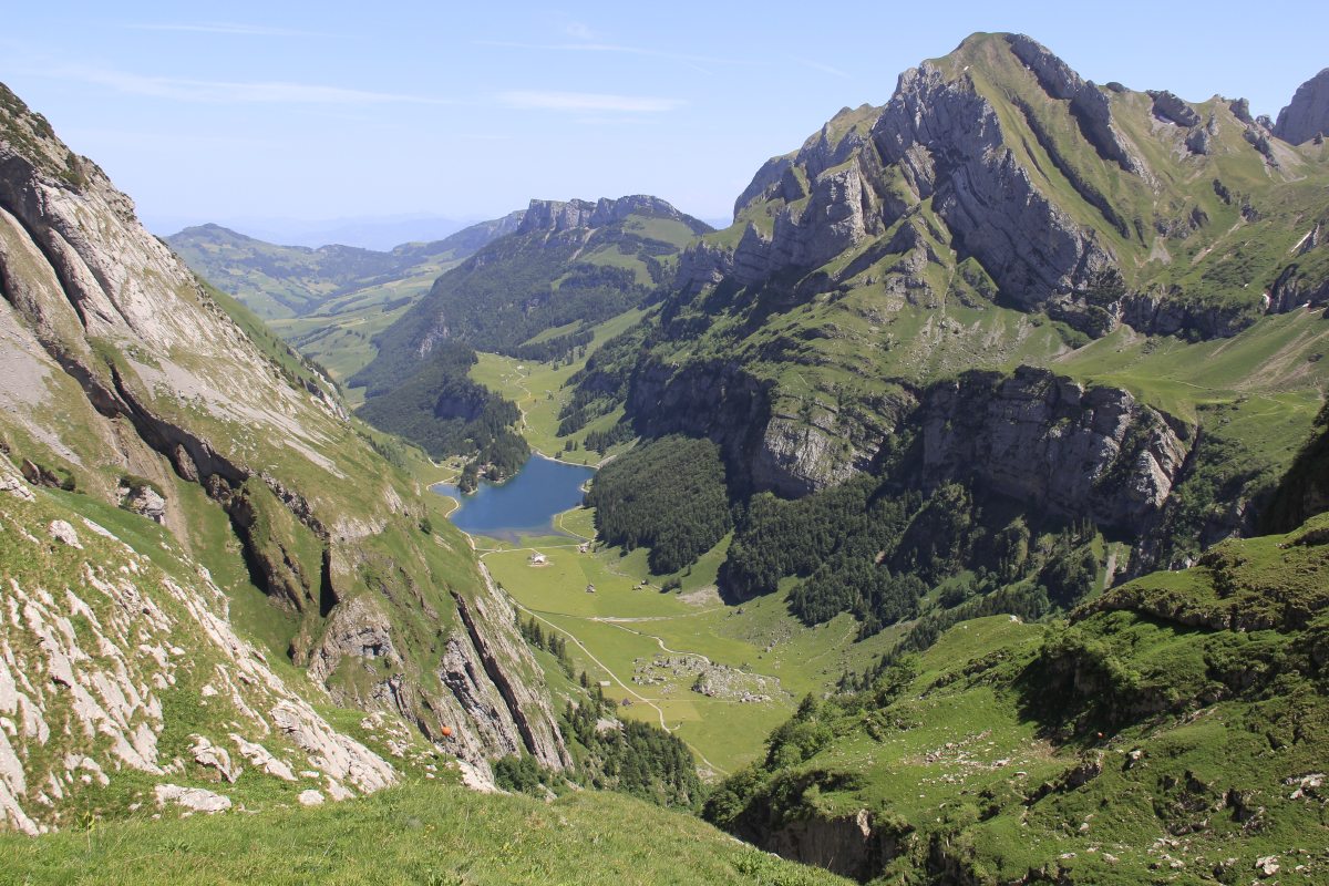
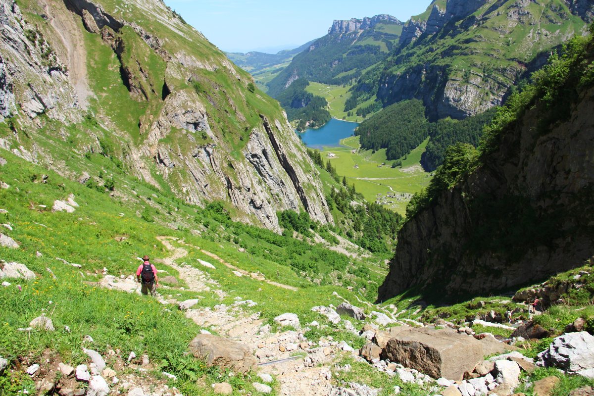
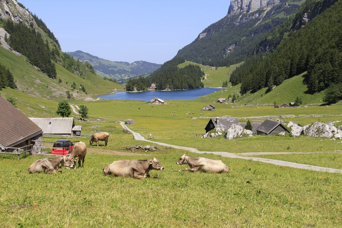
Säntis
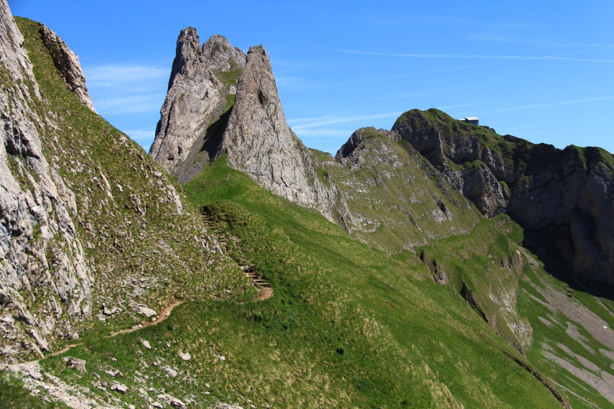
We spent a night at Leugangen near Appenzell in order to walk on the Säntis
massif the next day. It comprised the Ebenalp cable-car up 725m, a walk up
a further c. 475m to Schäfler and down 1200m via Messmer and Seealpsee. (1,
7, 3, 9 on this
map). The hard grind
down, combined with the fact that it was the fourth big walk in five days,
knocked Roger's body around for a while.
|
|
|
|
Leugangen's Cows,
view SW to Säntis |
View E from the
Leugangen Bedroom |
View SW, incl.
the Ebenalpbahn |
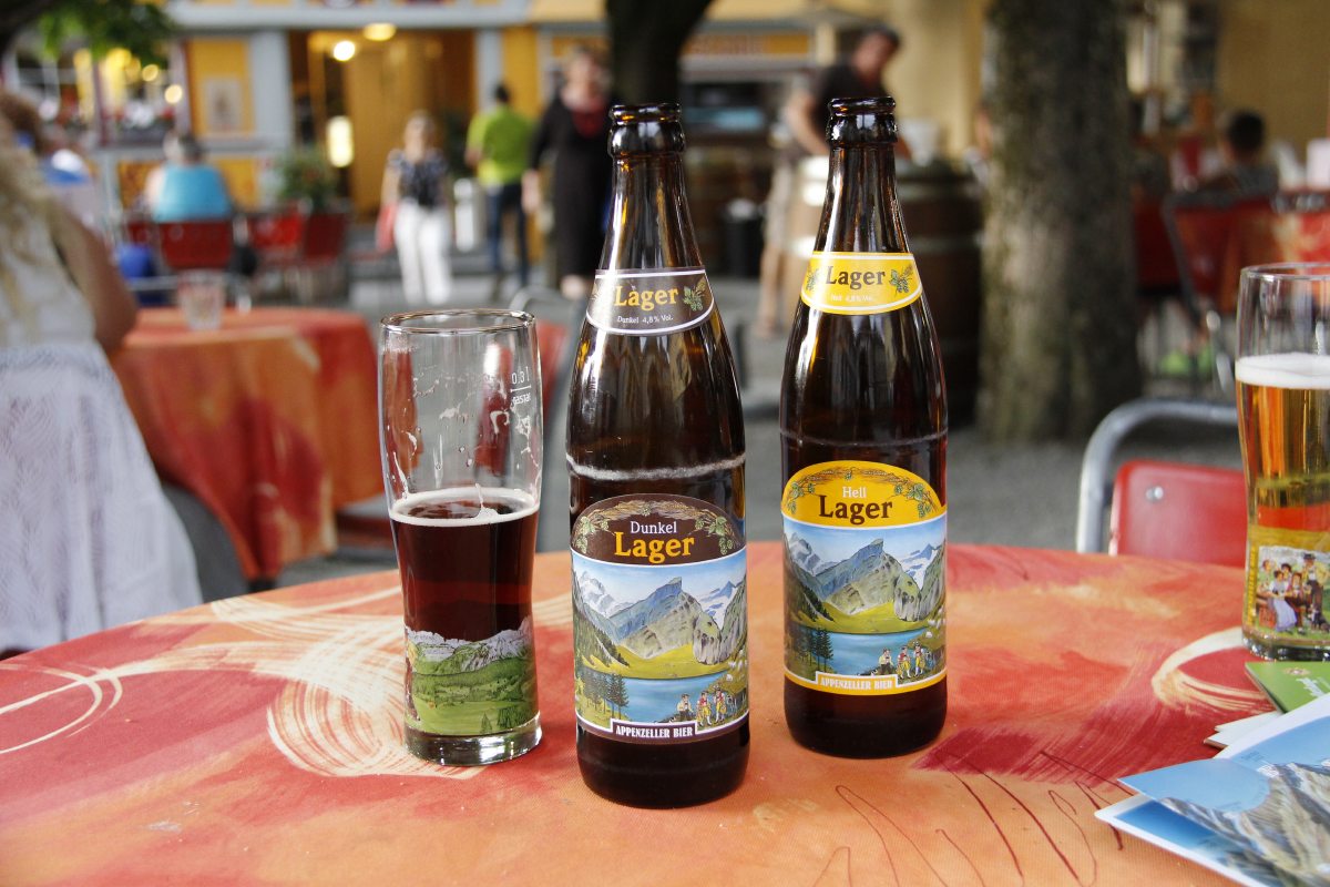
A local brew,
the evening before |
|
|
|
|
From the Bahn,
SW along the valley |
And, in the cliff,
the Wildekirche |
At the start,
the Schäfflerhuette
and Säntis |
But first,
down under the cliffs,
above the Seealpsee |
|
|
|
|
Above steep alps |
Looking at a walk
(next year's walk?)
on the cliffs opposite |
After that interlude,
looking back E
to the Ebenalp |
Elderflower at
the Schäfflerhuette |
|
|
|
|
So far so good |
Now pick the easiest
path to Säntis |
|
Not sheer,
but not for
the faint-of-heart |
|
|
|
|
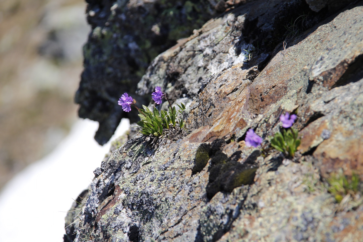
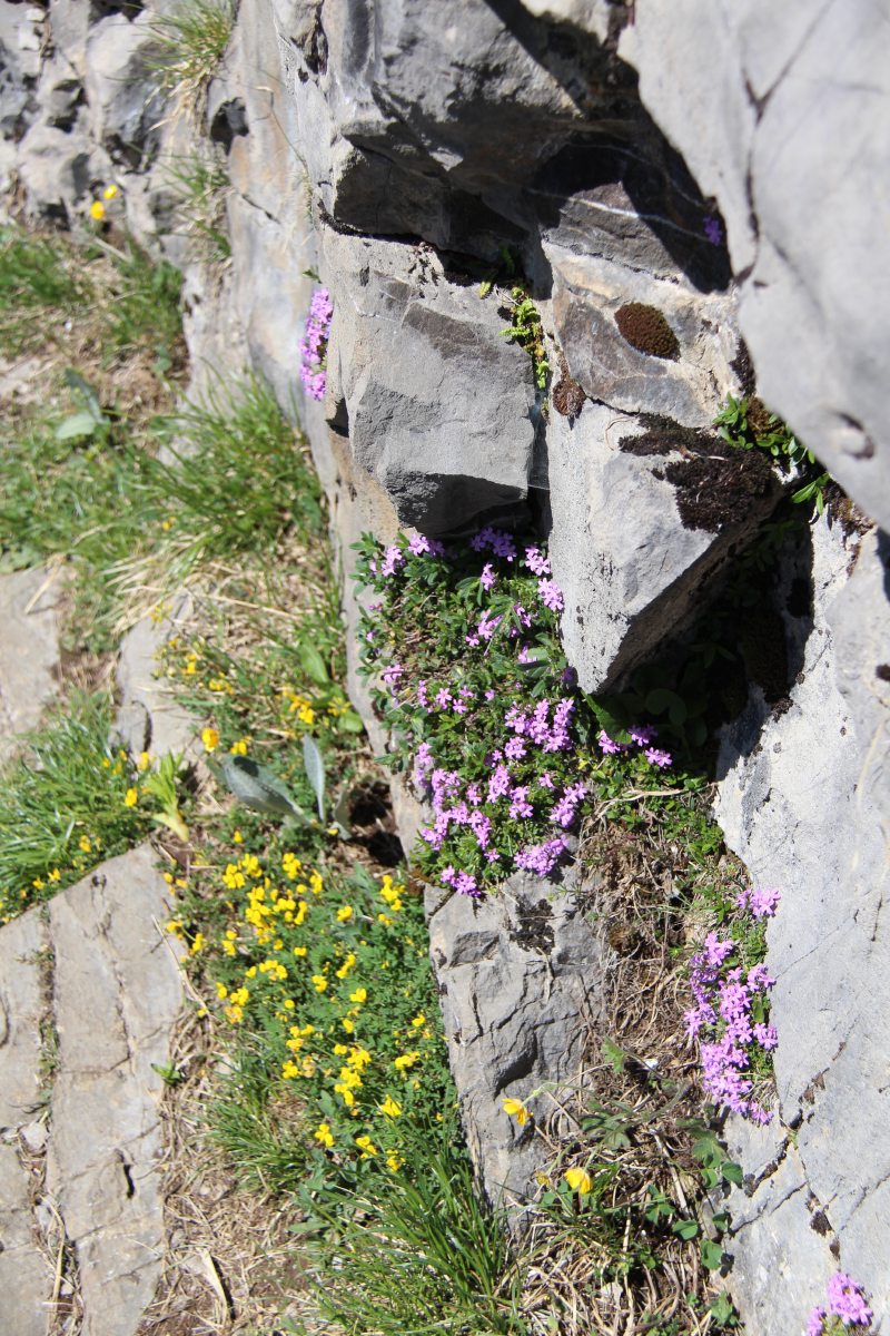
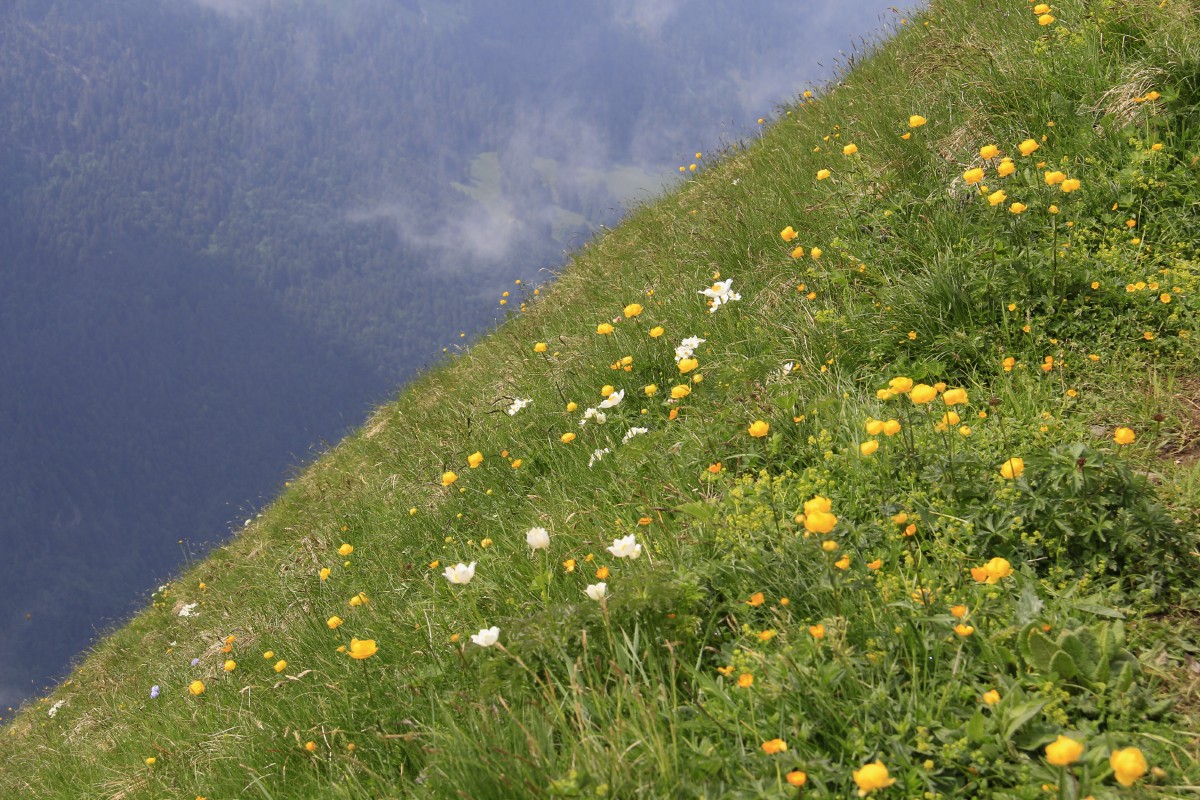
Time for calming
alpine flowers,
outside ... |
... and in |
Resting, looking
back to
Schäfflerhuette |
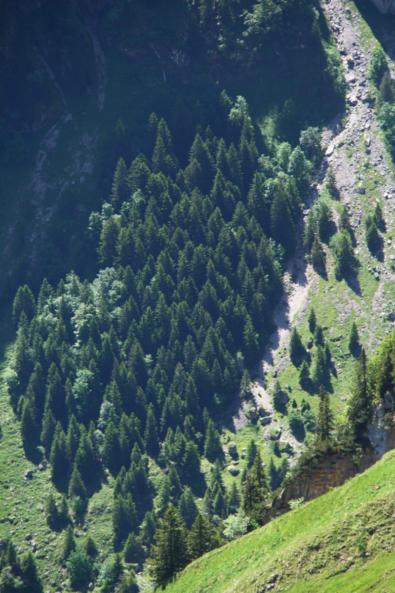
Marching Trees
opposite |
|
|
|
|
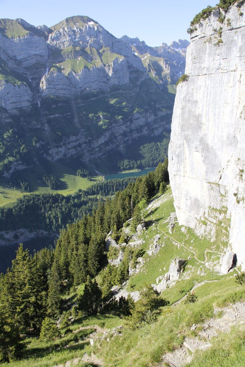
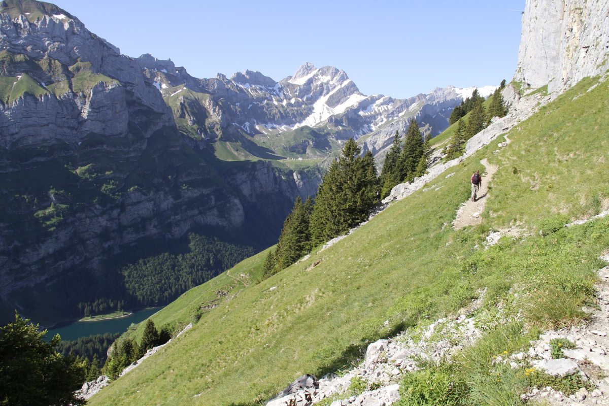
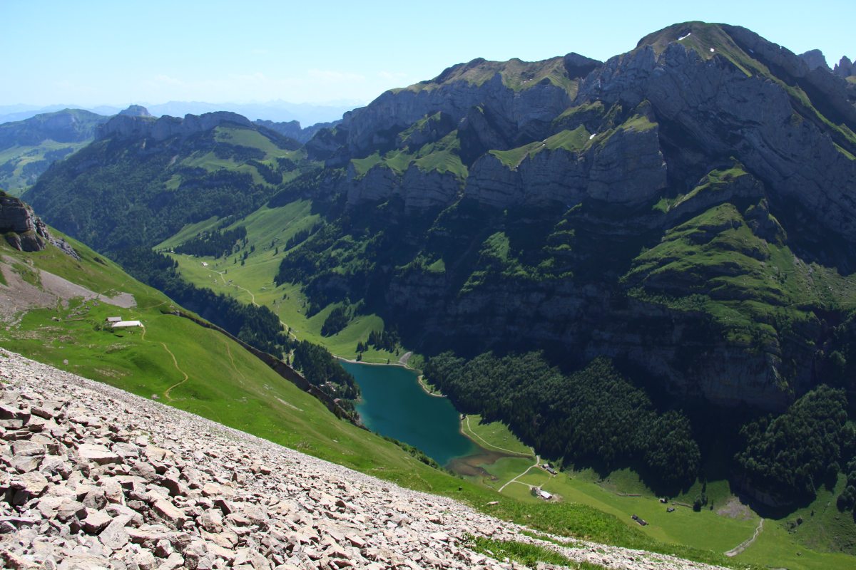
The path we'd come |
Seealpsee,
beneath scree
and alps |
Looking across
to our lunch-spot
amidst the rocks |
The low ridge
above Messmer |
|
|
|
|
The Lunch-Spot |
Above Messmer,
looking back NE,
to Leugangen |
The return route
down the valley |
A rough path,
belting knees
down a 1200m drop |
|
|
|
|
Calm cows
above Seealpsee |
Finally, the
archetypal
calendar shot |
|
|
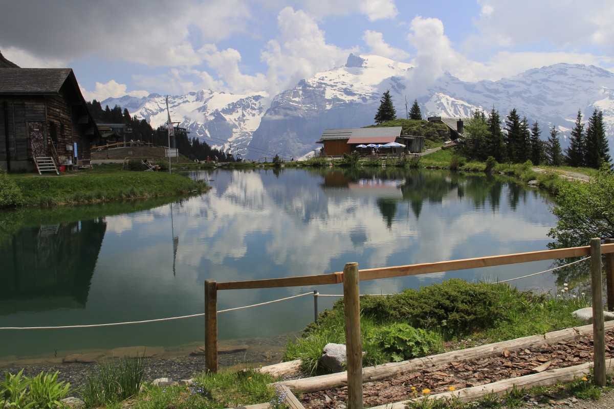
Engelberg, south of Luzern
We spent a week based there, with our son Russell and partner Karen. The first
day was spent on the slopes up above the village.
|
|
|
|
From the
Hahnen Seilbahn,
looking E at Ristis |
Looking S
over Engelberg,
towards Titlis |
A Foot Jacuzzi |
Along a
foot-tickling path
(Yes, seriously) |
|
|
|
|
The pond as a whole |
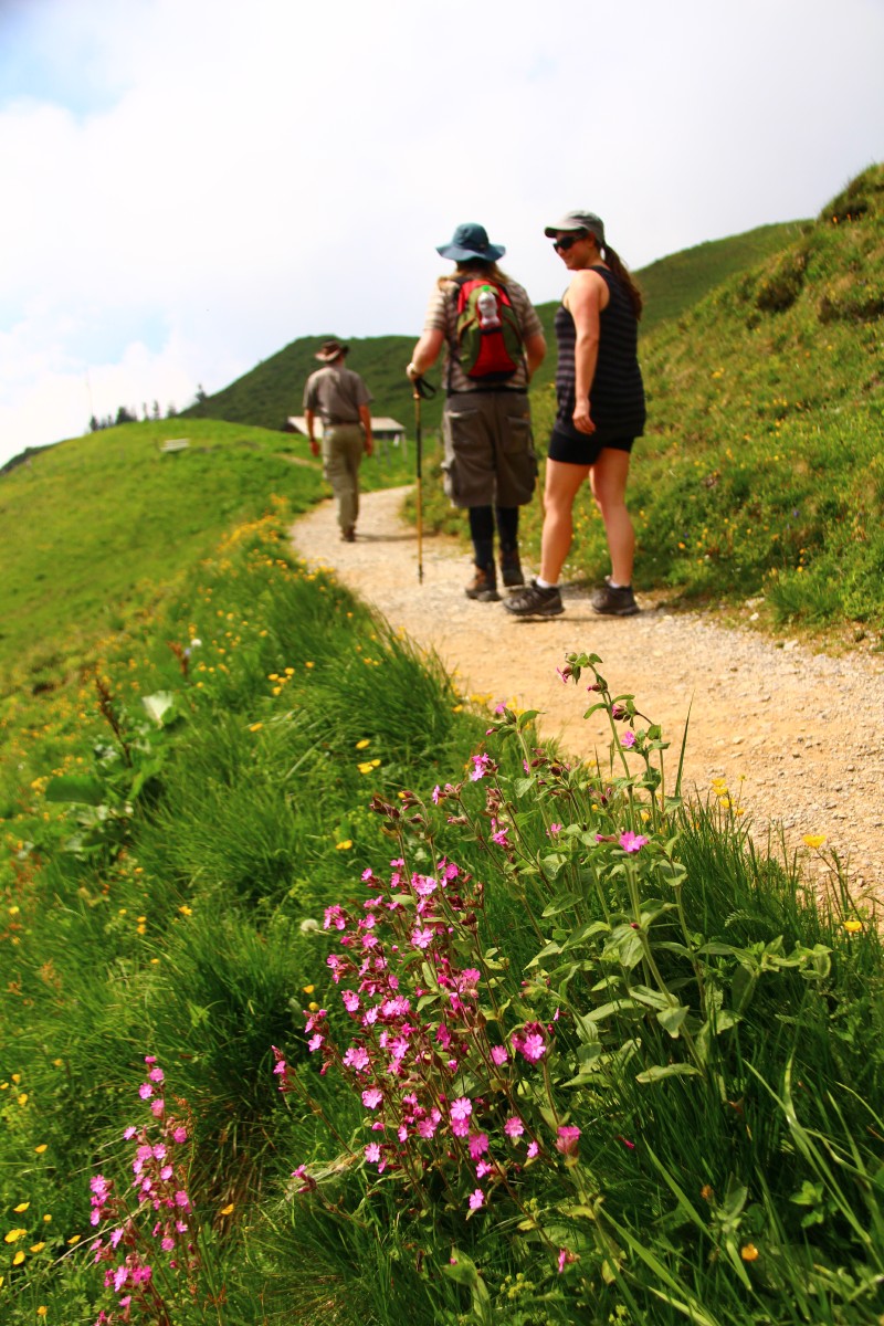
Path, Strollers,
Red Campions |
And back down to
the Seilbahn terminus |
|
The Bürgenstock Cliff-Path
A short half-day walk above Vierwaldstättersee / Lake of Lucerne.
|
|
|
|
The steep drop |
The path |
Pilatus and Luzern,
from the top of the lift |
The top of the lift
with Rigi opposite |
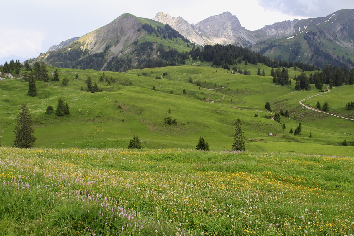
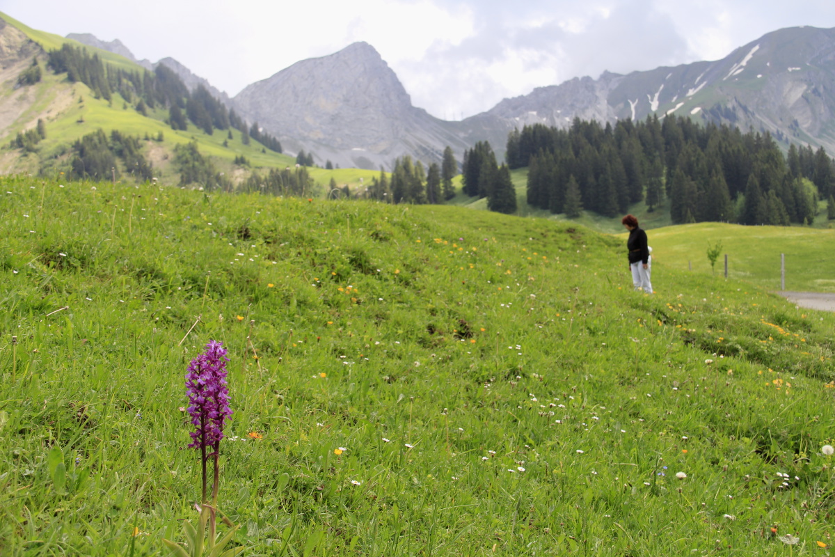
The Glauberbuelenpass
A short walk at a pass between Luzern and the Emmental.
|
|
|
|
Good grazing beneath
the Brienzerrothorn |
With Orchids |
|
|
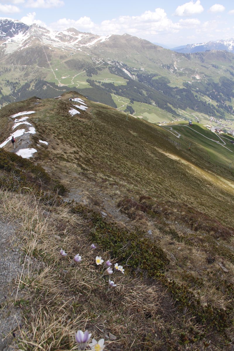
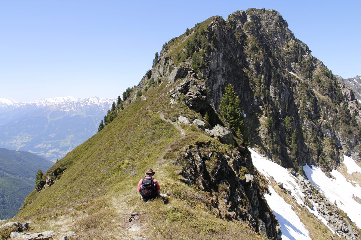
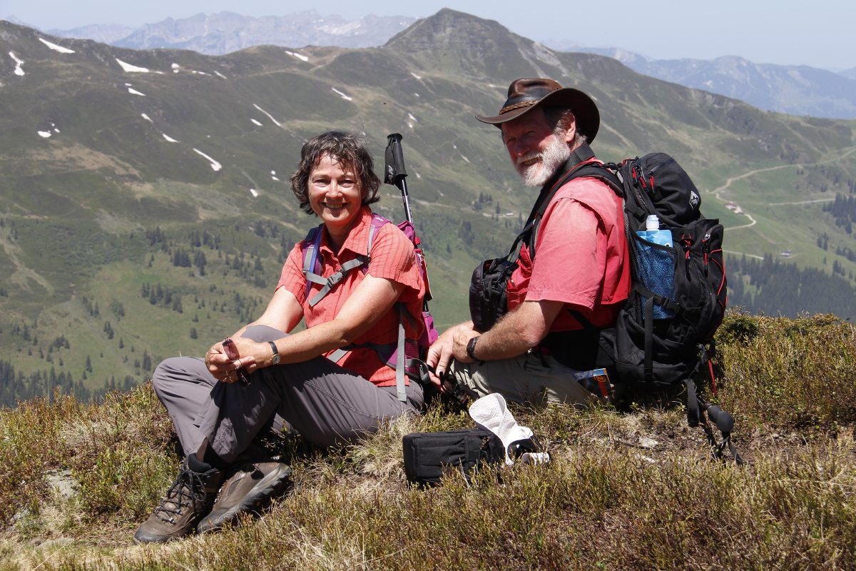
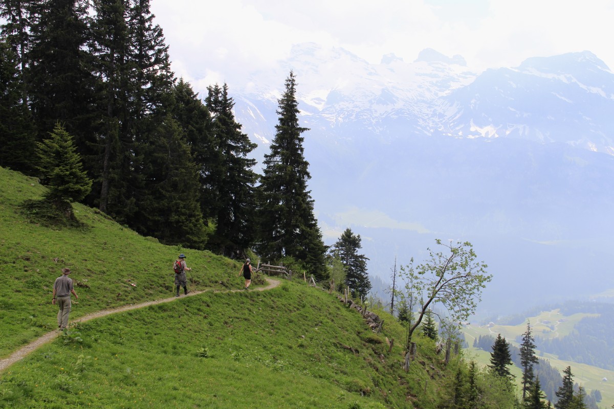
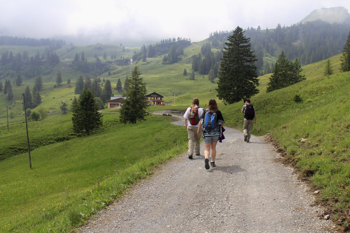
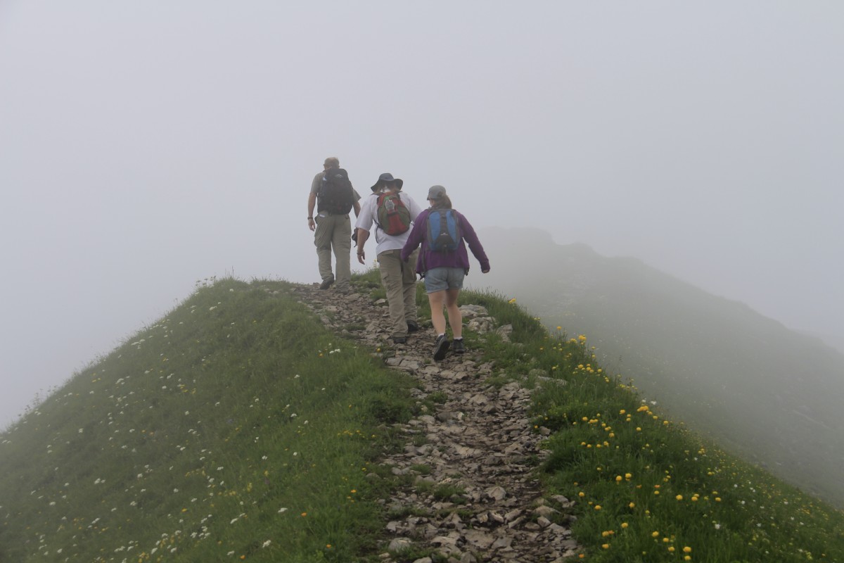
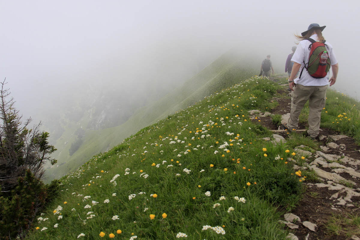
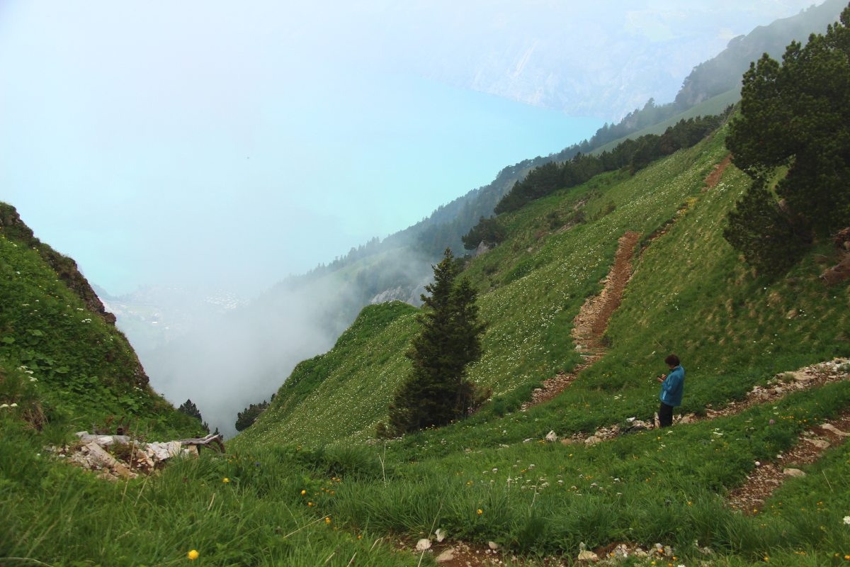
Stoos (East of Schwyz) - The Ridge Walk, Klingenstock to Fronalpstock
We've had the good fortune to meet with Pierre and Denise Steim many times
up at Stoos
|
|
|
|
Walking towards
the Klingenstockbahn |
On the chairlift |
Briefly, a clear
but also steep view |
The cloud blocked
the mountains, but
not always the valley |
|
|
|
|
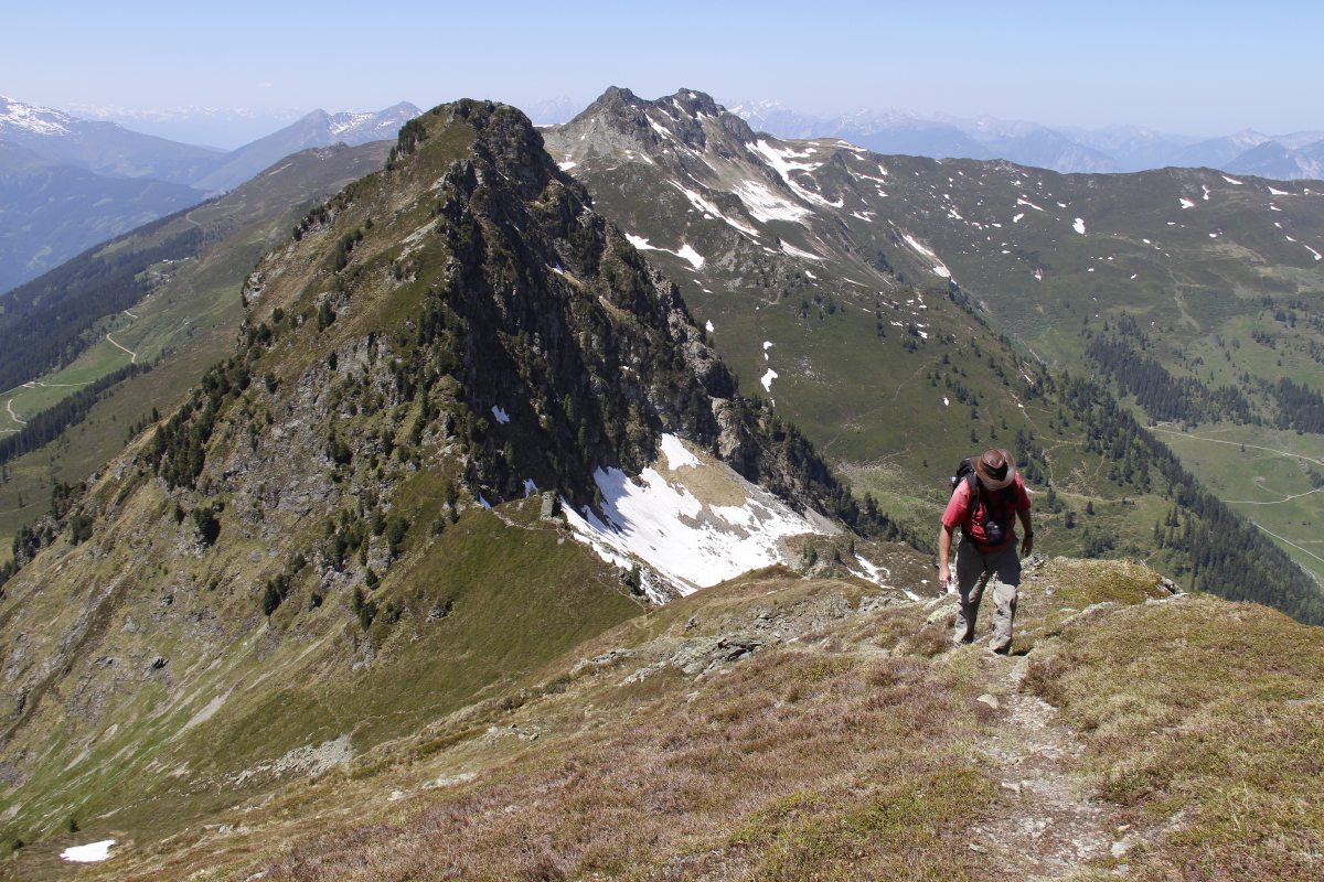
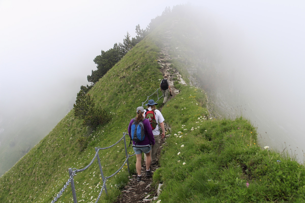
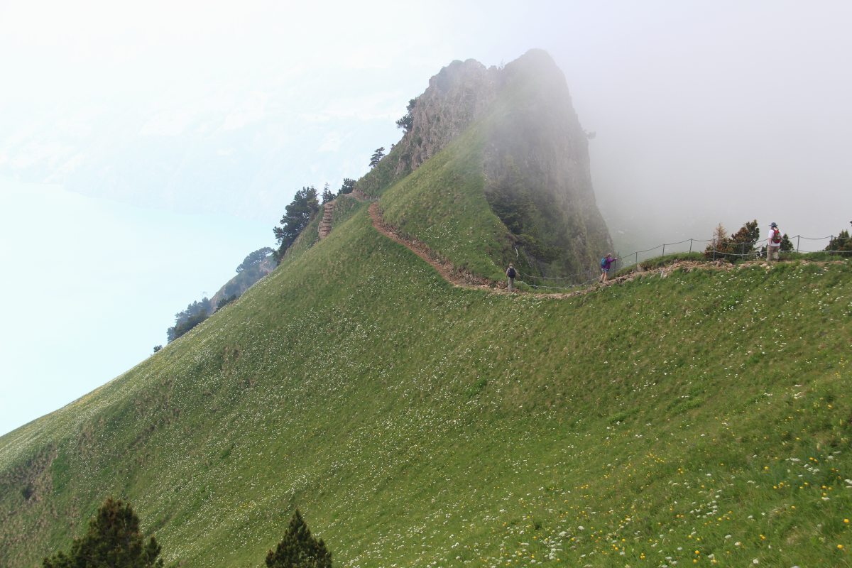
That's why
they call it
a 'ridge' walk |
Beclouded,
beflowered,
steep-sided |
... |
Coming around
to the West,
above Lake Luzern |
|
|
|
|
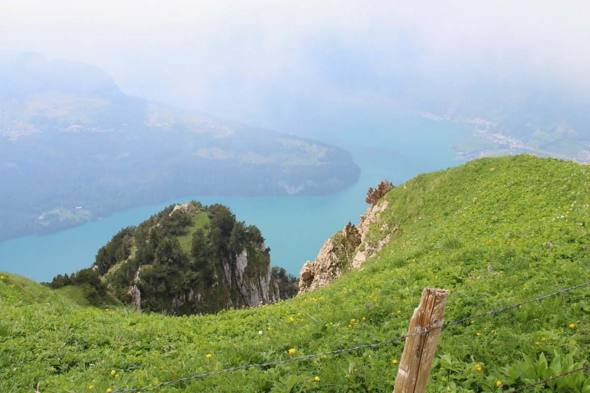
With plenty of
ups and downs |
Vierwaldstättersee
and Seelisberg,
a little more clearly |
From Fronalpstock,
straight down
to Morschach |
Returning to the Stoosbahn,
looking W over Brunnen,
to Rigi, Bürgenstock |
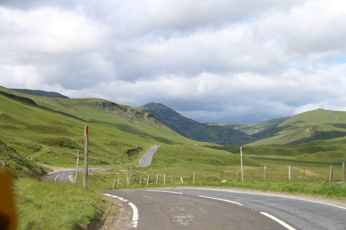
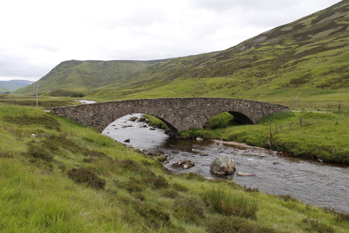
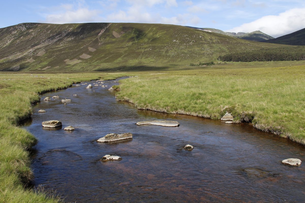
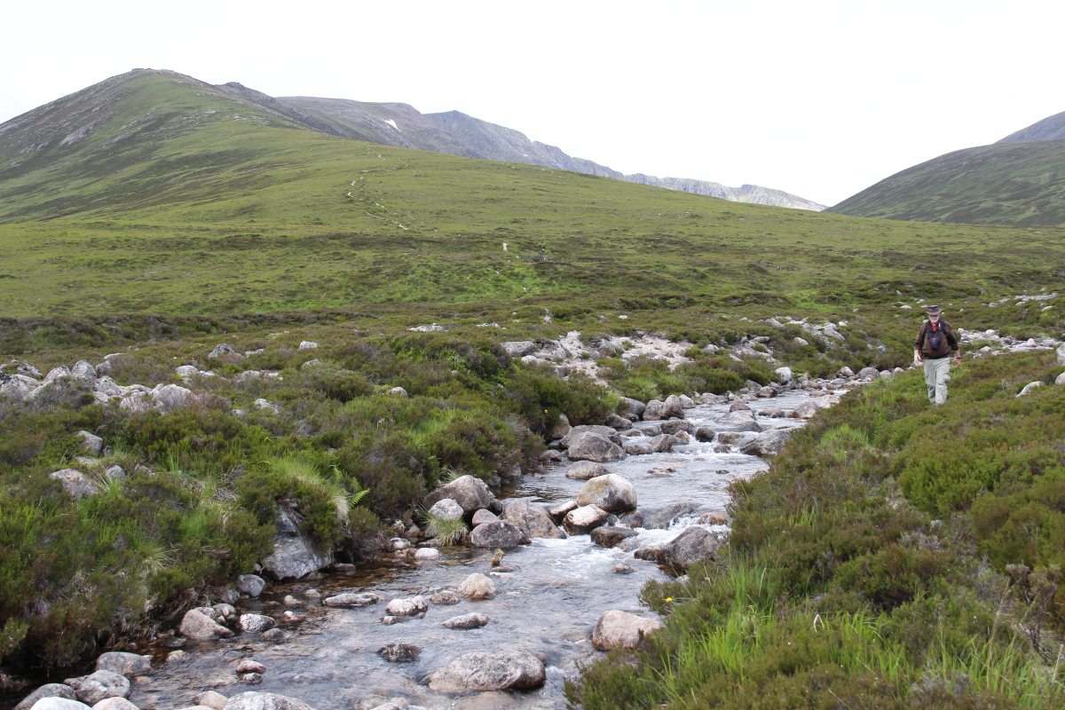
Scotland – mid-June 2014
We spent three nights and two days based in Ballater
(a remarkably nice town, towards the eastern end of the Cairngorms, nowhere near as touristy as Braemar),
in order to do a couple of Highland walks.
|
|
|
|
In the foothills,
north of Perth |
Into the Highlands,
north of Pitlochry |
In the valley south
from Braemar |
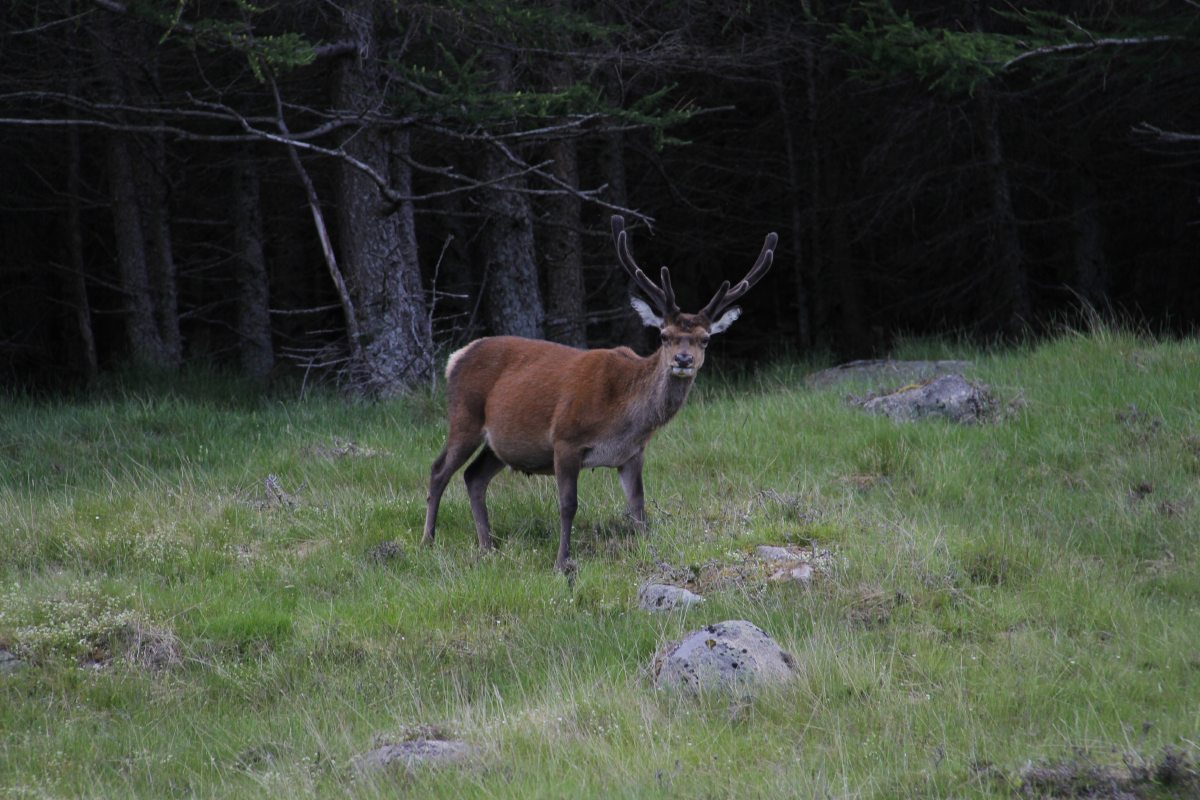
A royal Stag, en
route to Loch Muick |
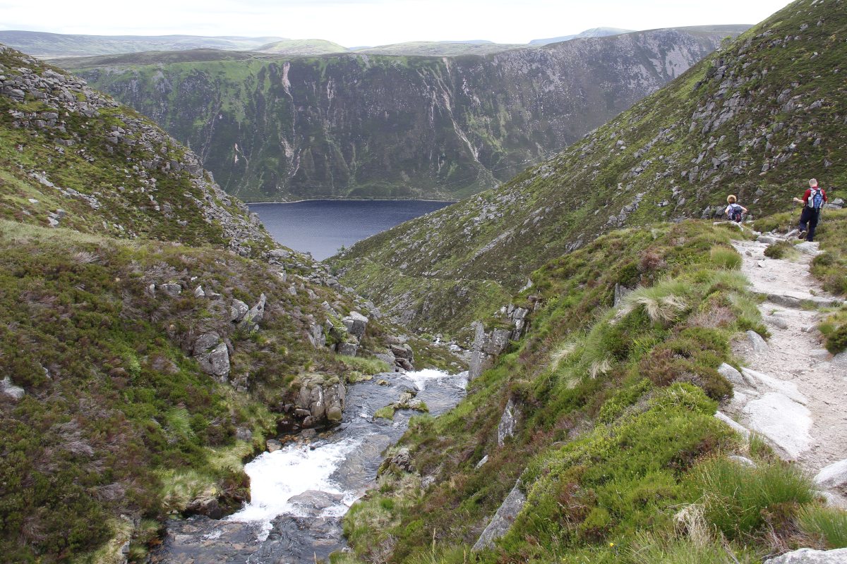
The warm-up was the splendid Lochnagar Walk,
SW from Ballater. We did
the northern route out, and the southern route back:
|
|
|
|
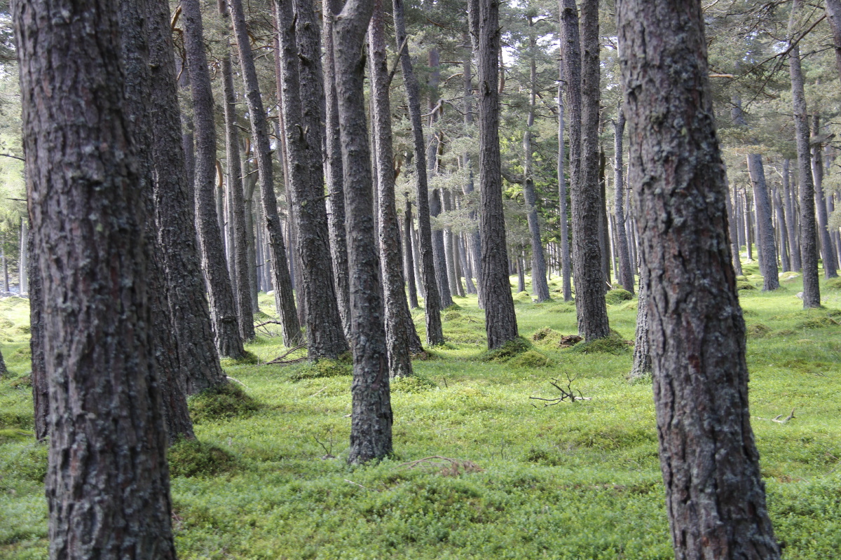
Start of the
Lochnagar walk |
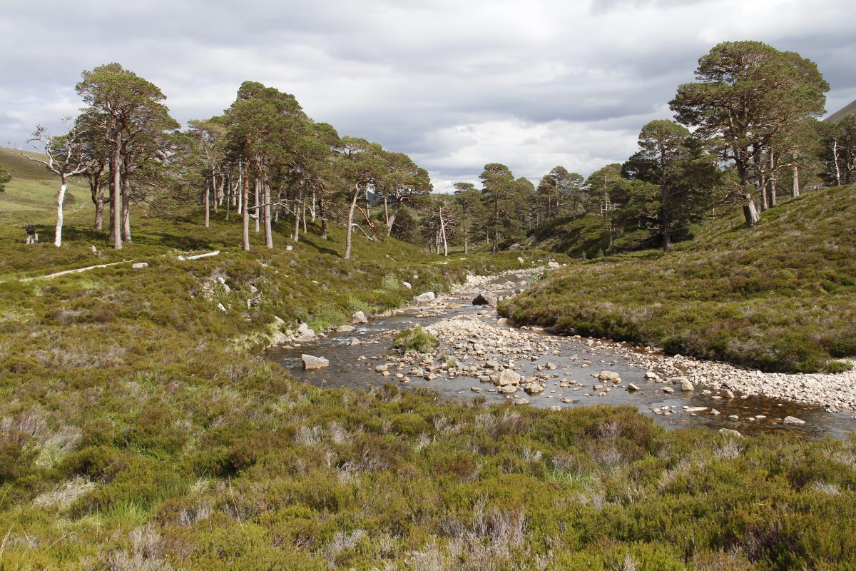
Through a
small pine-forest |
Further up the valley |
Looking back to the
forest (the nearest one) |
|
|
|
|
And, high up on the
hillside, more (moor?) deer |
Then up a short,
steep rockfield ... |
... above Loch Nagar |
At the summit, the
SW view ... |
|
|
|
|
... all the way
to Ben Nevis |
Near our lunch-spot,
looking E over the Loch |
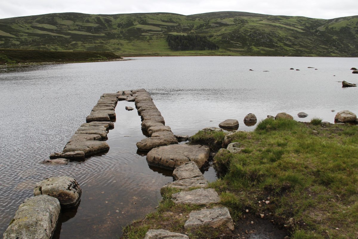
Looping around, with
Loch Muick in
the deep gully |
More hospitable
lower in the valley |
|
|
|
|
With a waterfall at
the lip above the Loch |
Below the lip |
Back at the Loch,
showing the heath patterns,
partly burnt for both
grouse-cover
and grouse-shoots
(puns intended) |
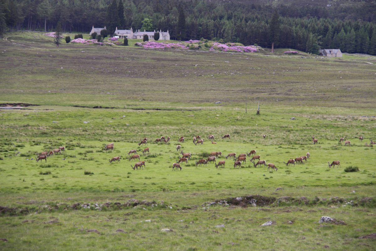
Around the loop now,
and the Queen's herd |
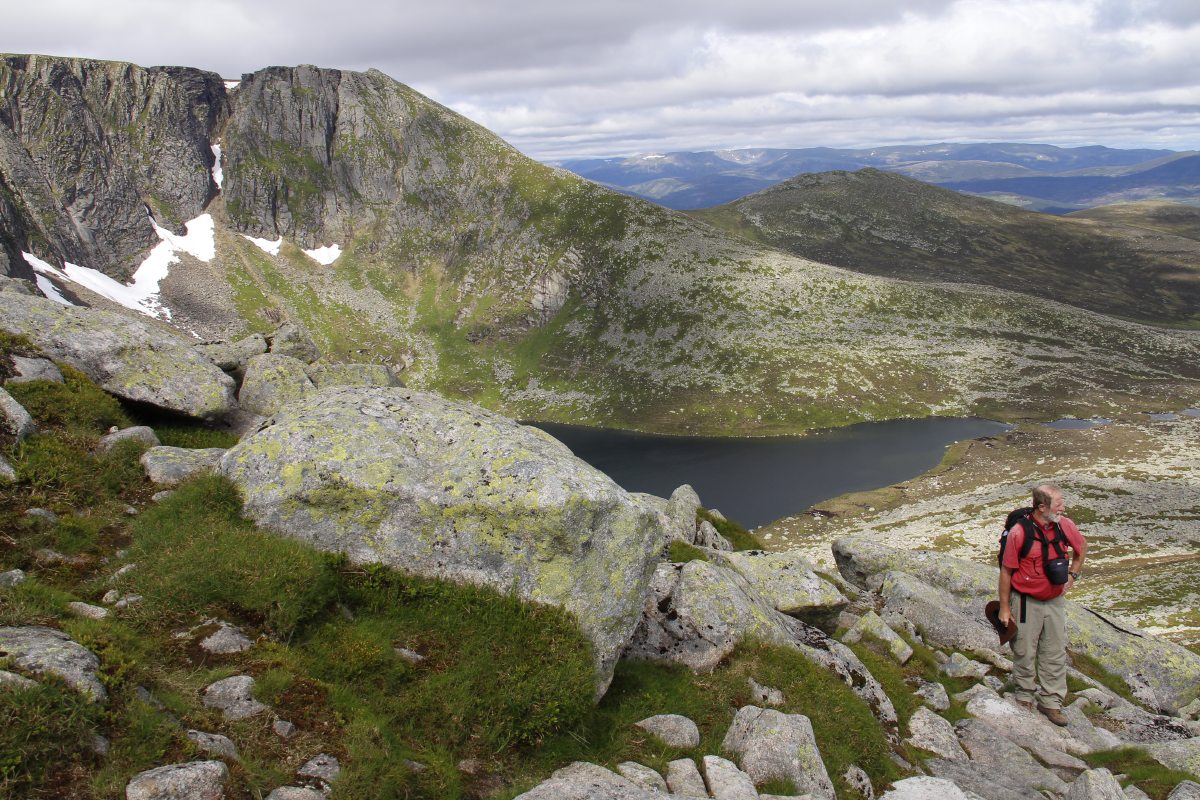
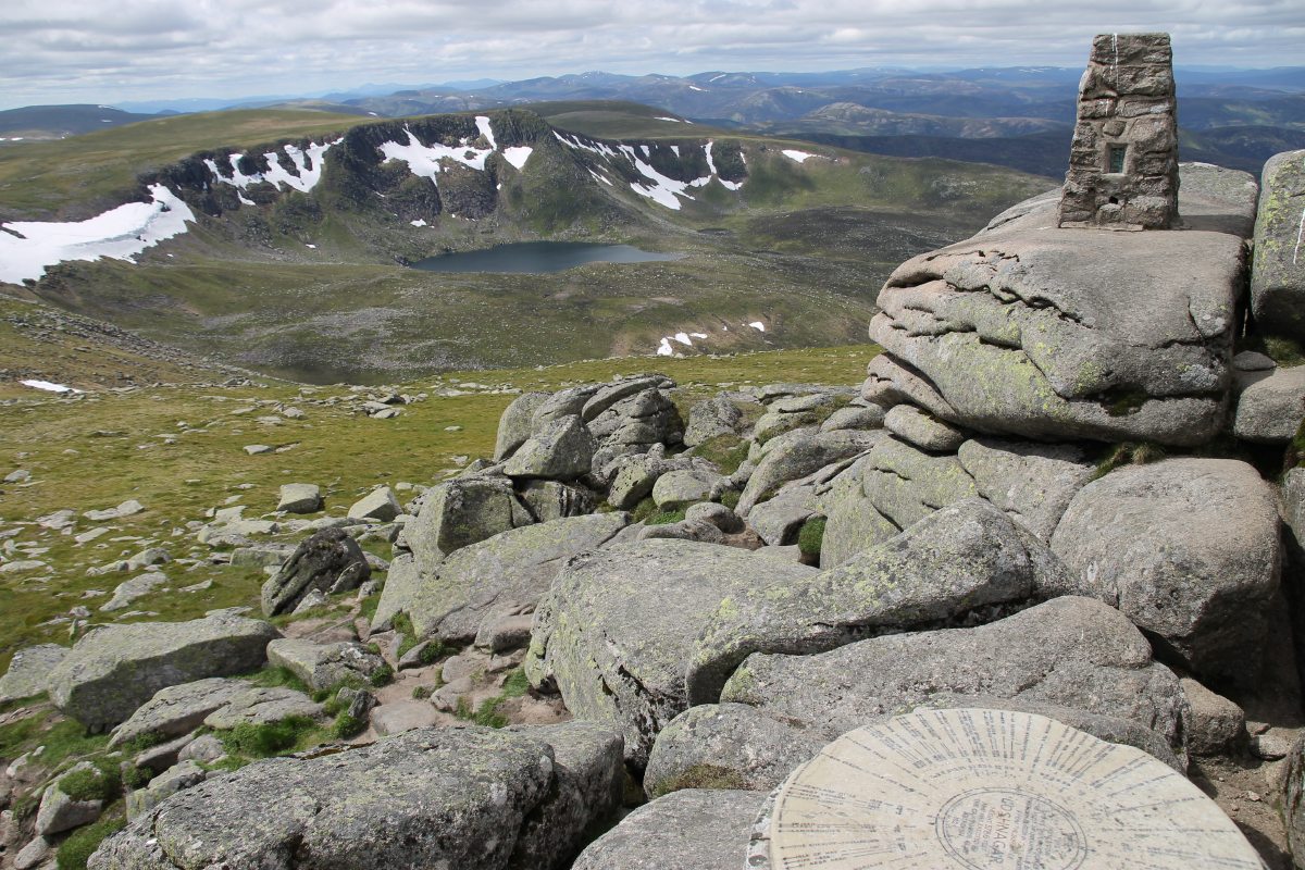
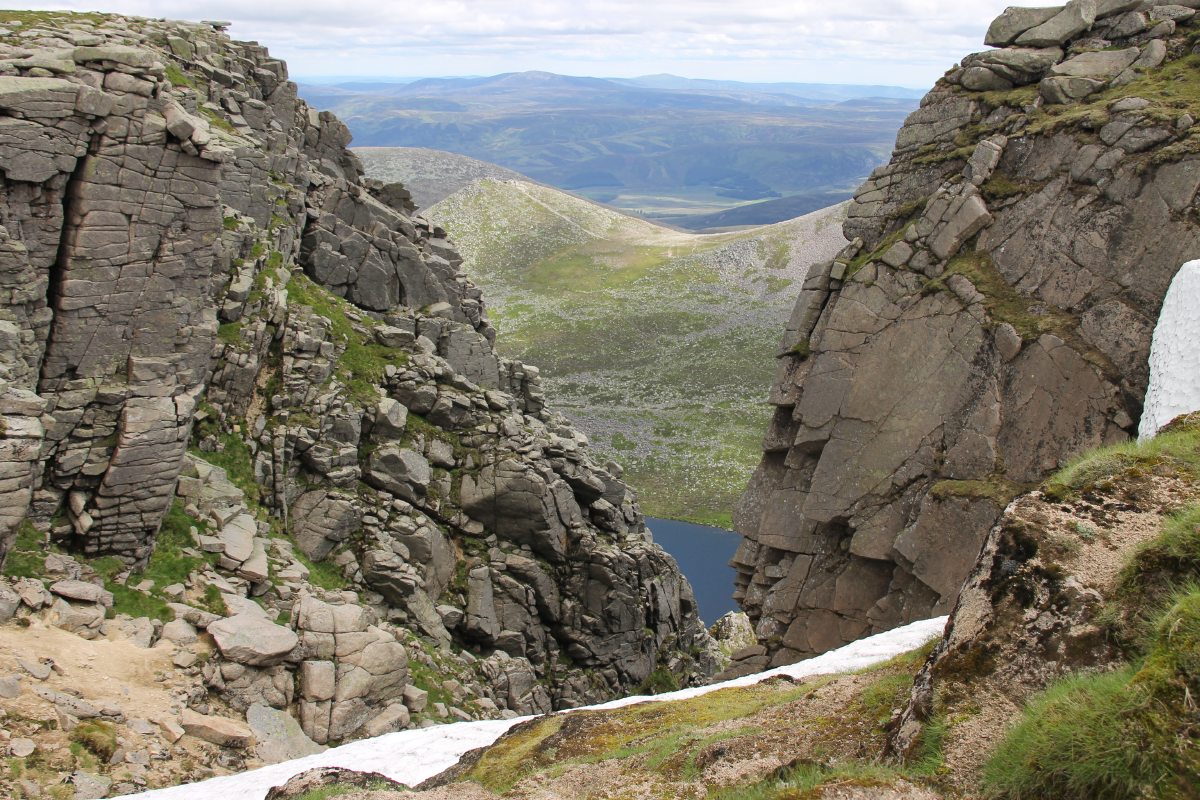
The awkwardly long Ben
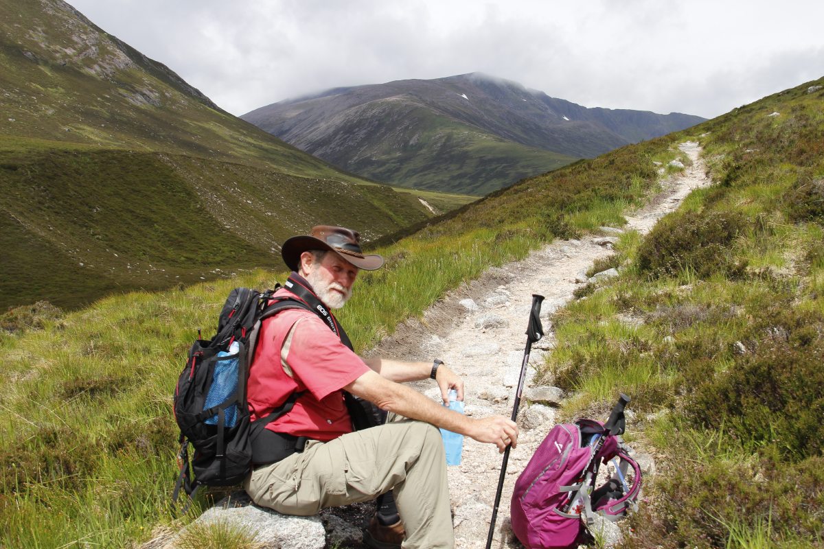
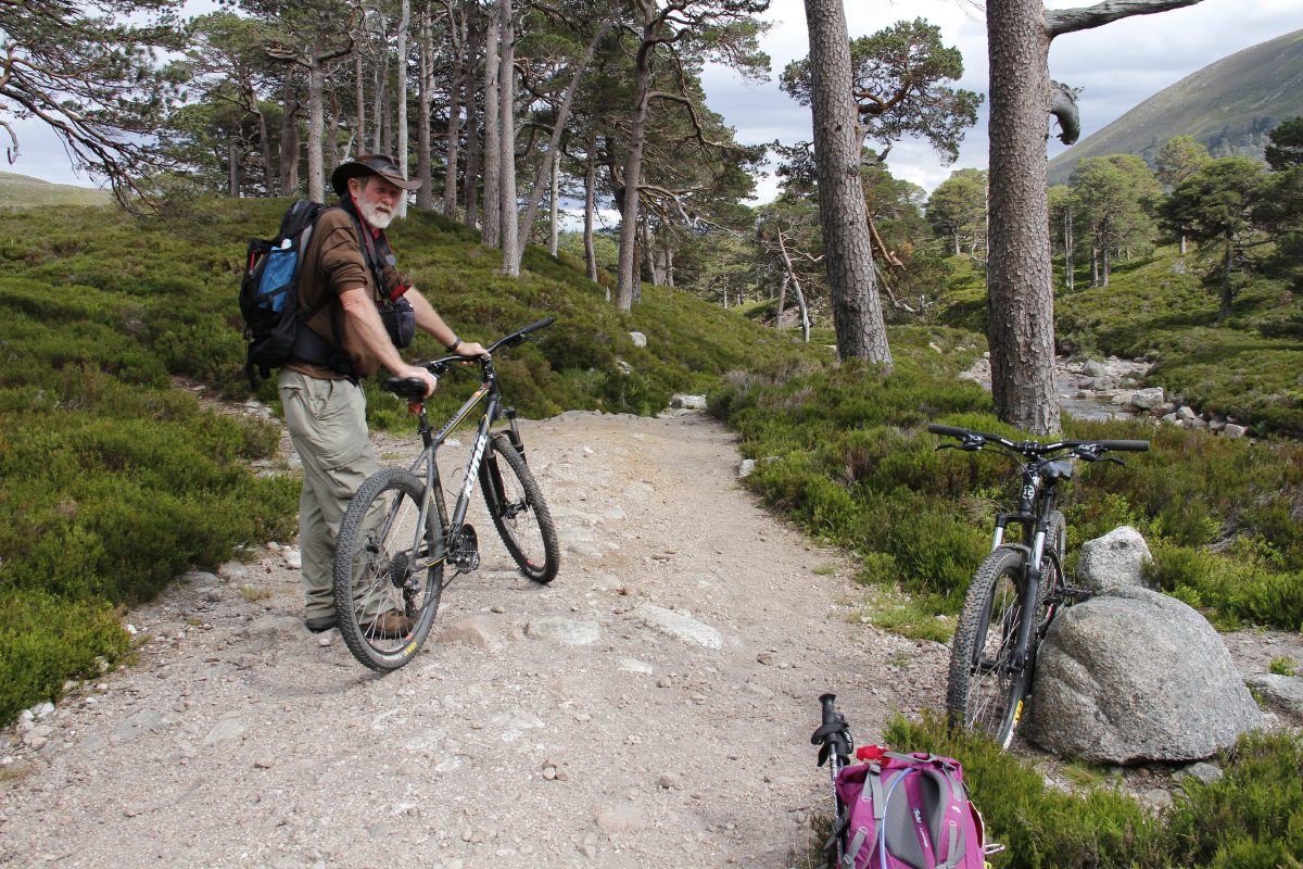
MacDui Walk, West of Braemar, from the Linn of Dee (375m) up Glen Lui to Munro No. 2 (1309m).
The walk is 30km, so we hired bikes for the first and last 6km of distance and 70m of height:
|
|
|
|
We parked the bikes
halfway between
Derry Lodge and the Bridge |
Misled by the lack
of path-markings |
Back on the
right track |
Finally at the start
of the actual climb |
|
|
|
|
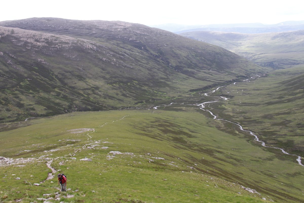
Looking back over
the boulder-field to
the valley we'd come up.
The dot is the only
other walker we met
on the upper section |
And the photographer
at her work |
The top was cloud-
covered and blowing
a frigid gale, so
we stopped at c. 1150m |
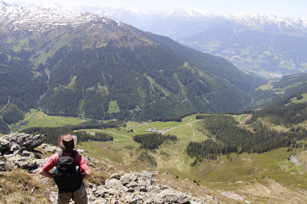
The afternoon sun
back down in the
valley was very pleasant |
|
|
|
|
What the well-kitted
walker is riding |
|
|
|
England – Late June 2014
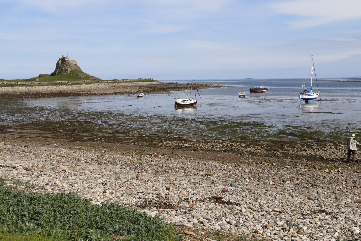
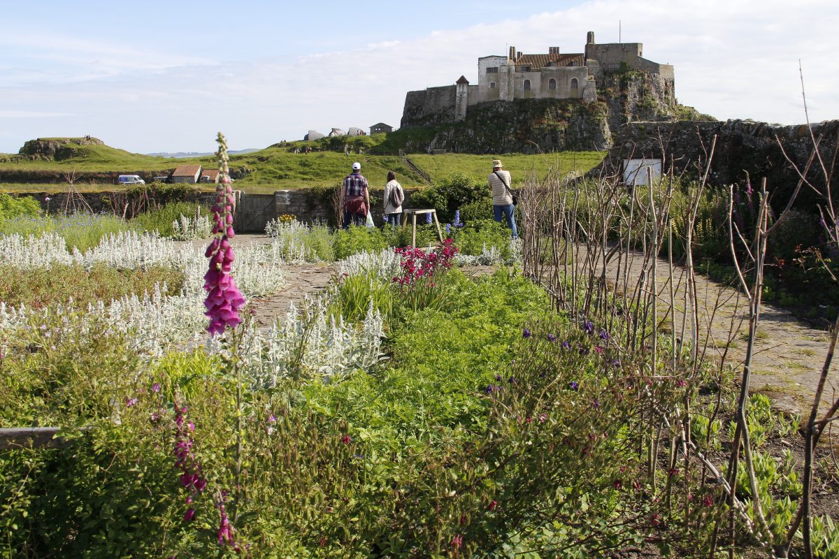
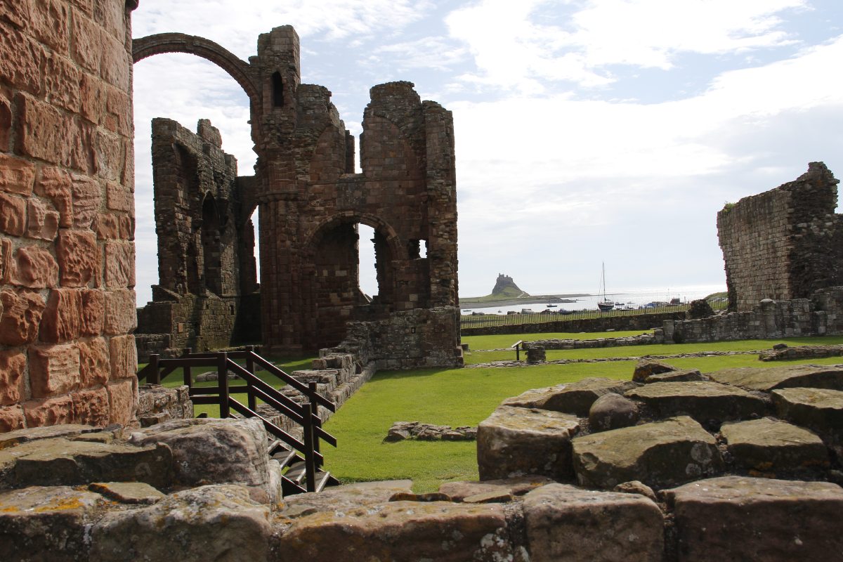
Lindisfarne
|
|
|
|
Lindesfarne Castle |
Closer up, seen from
Gertrude Jekyll's garden |
And seen from
the ruined priory |
Nearby, on the mainland,
Bamburgh Castle |
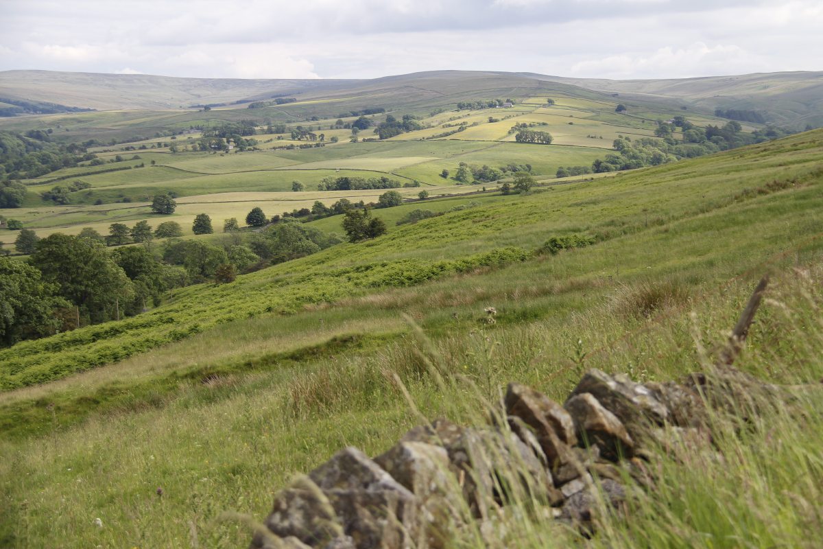
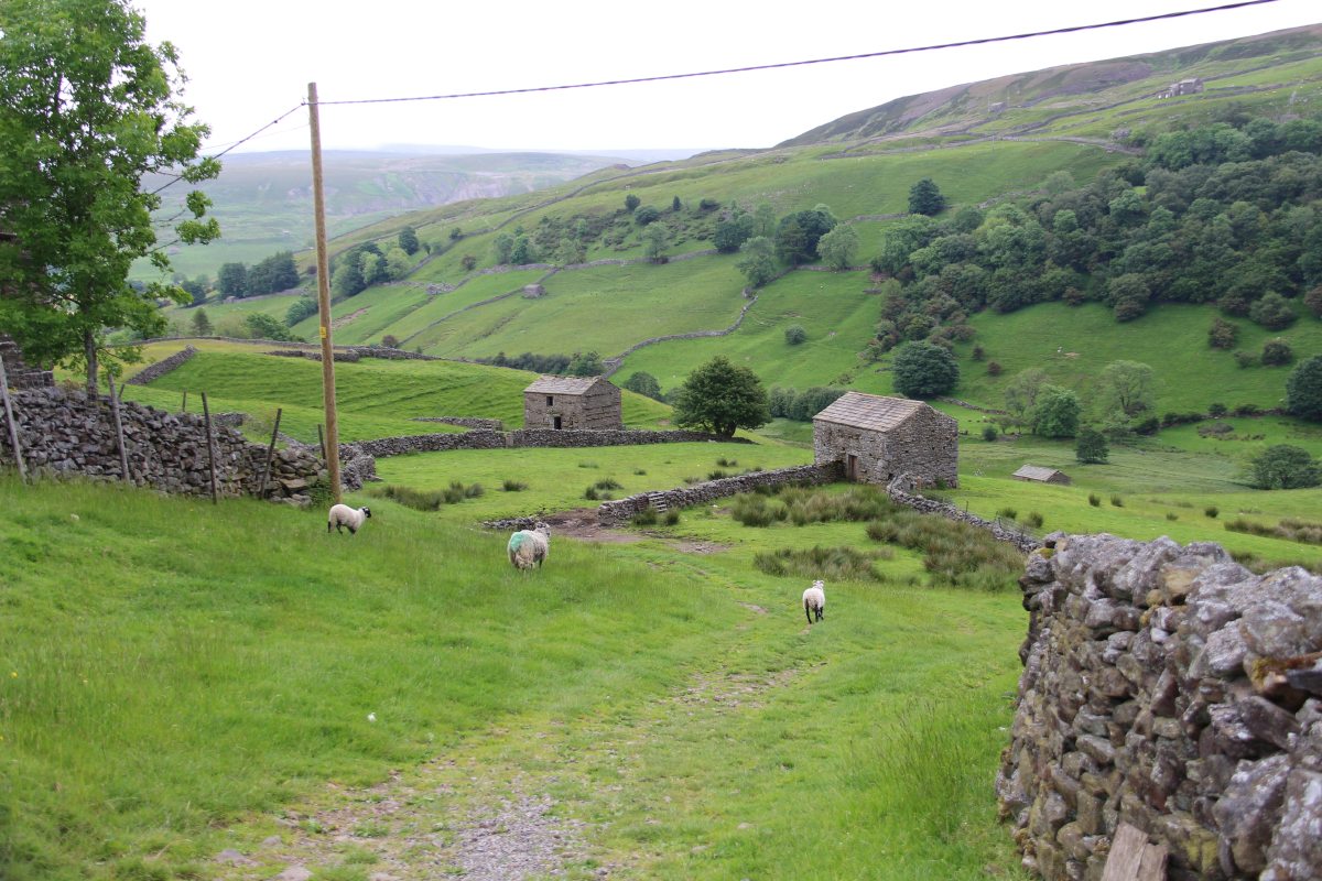
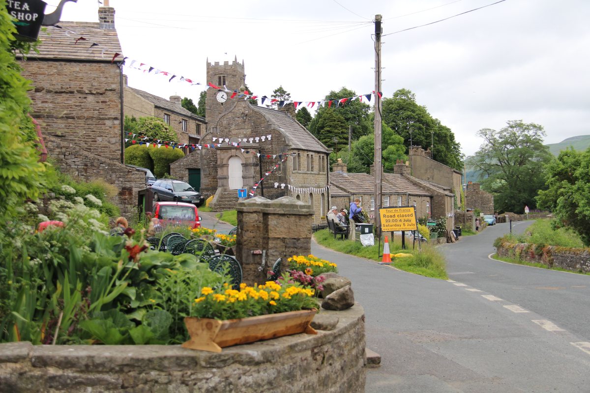
The Yorkshire Dales
|
|
|
|
The North
Yorkshire Dales |
With orchids |
The trees fade away very
quickly with altitude ... |
... but like narrower,
more protected valleys |
|
|
|
|
The lower levels
are richer |
Muker in Swaledale,
with woollen jumpers |
|
|
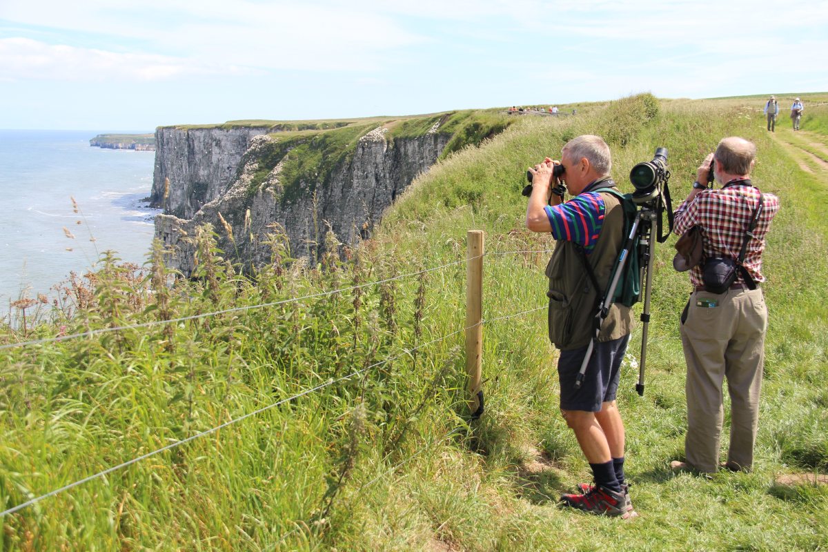
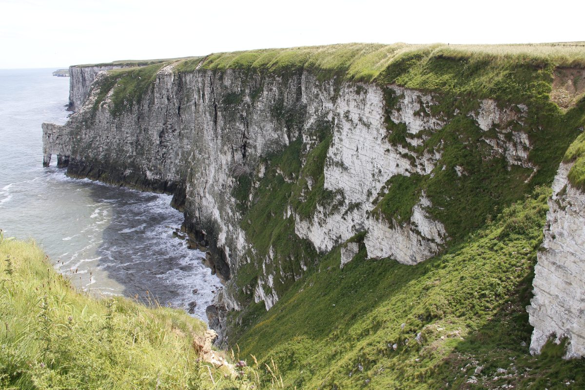
Bempton Cliffs, East of York
|
|
|
|
Bempton Cliffs host ... |
... large numbers
of nesting ... |
... gannets, guillemots
and razorbills ... |
... and some fulmars
and puffins |
This is a page within the Clarke-Spinaze Photo Gallery, home-page here
Contact: Linda or Roger
Created: 6 July 2014; Last Amended: 21 July 2014


