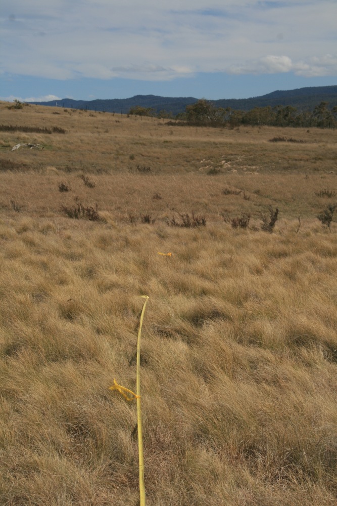
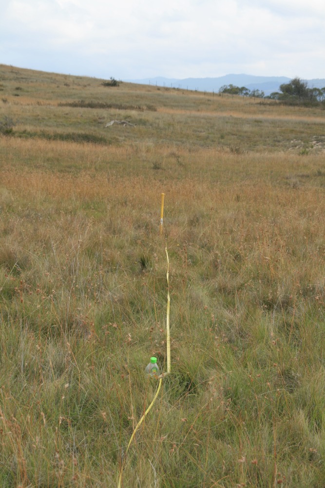
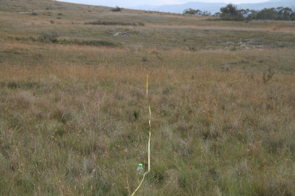
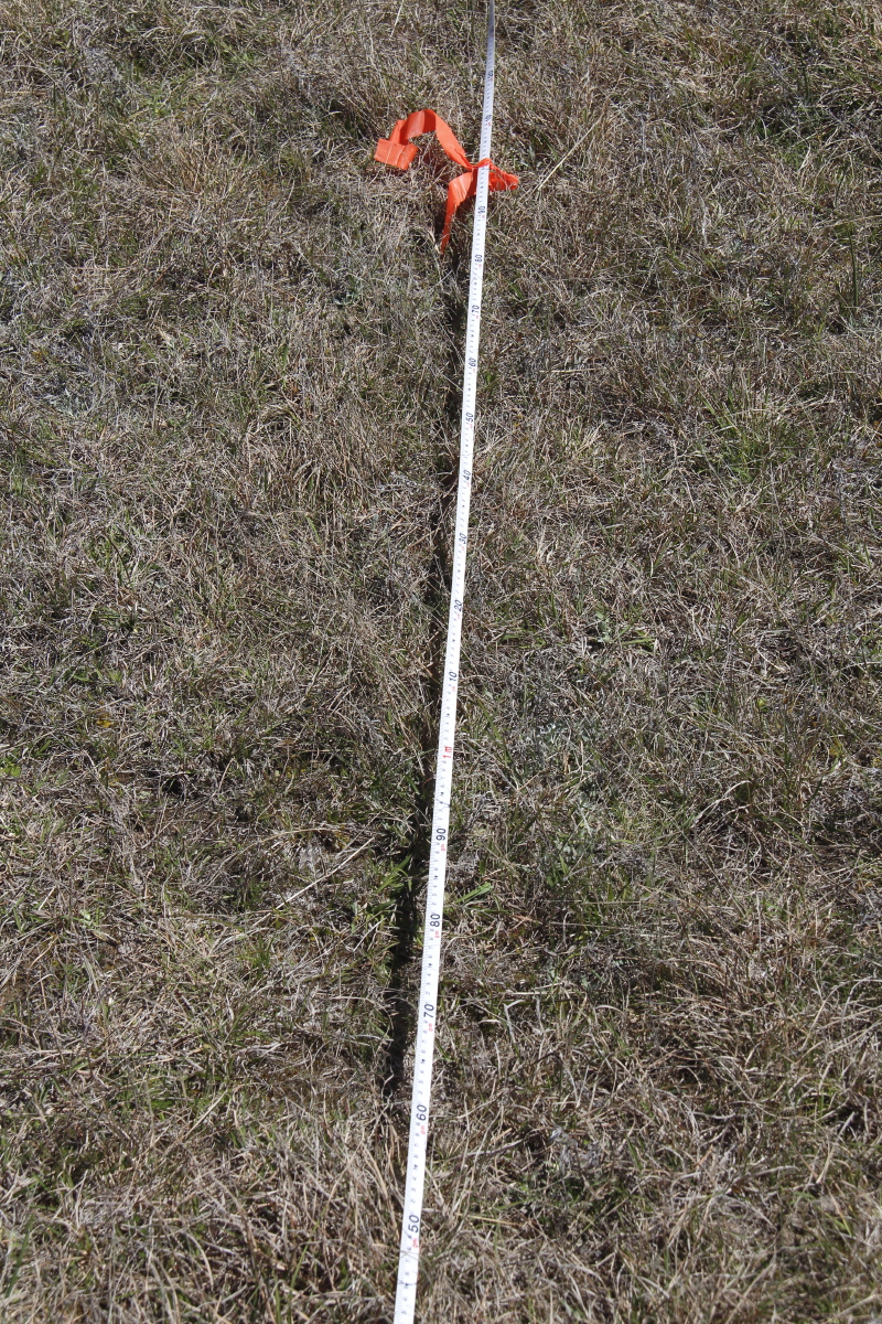
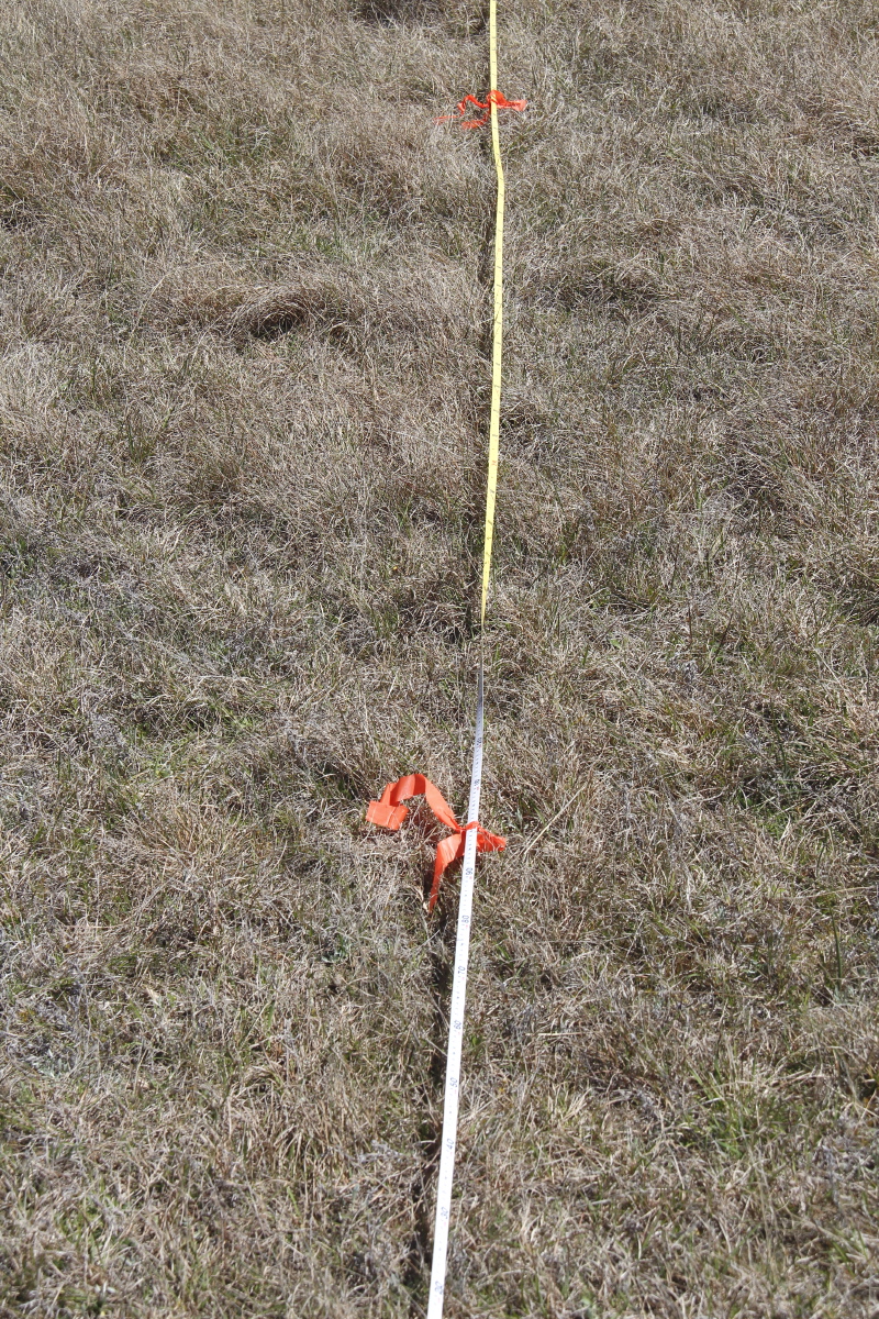
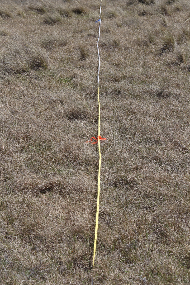
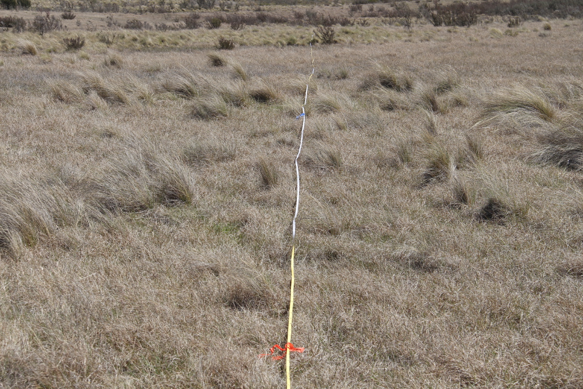
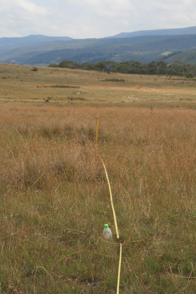
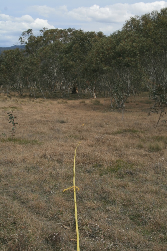
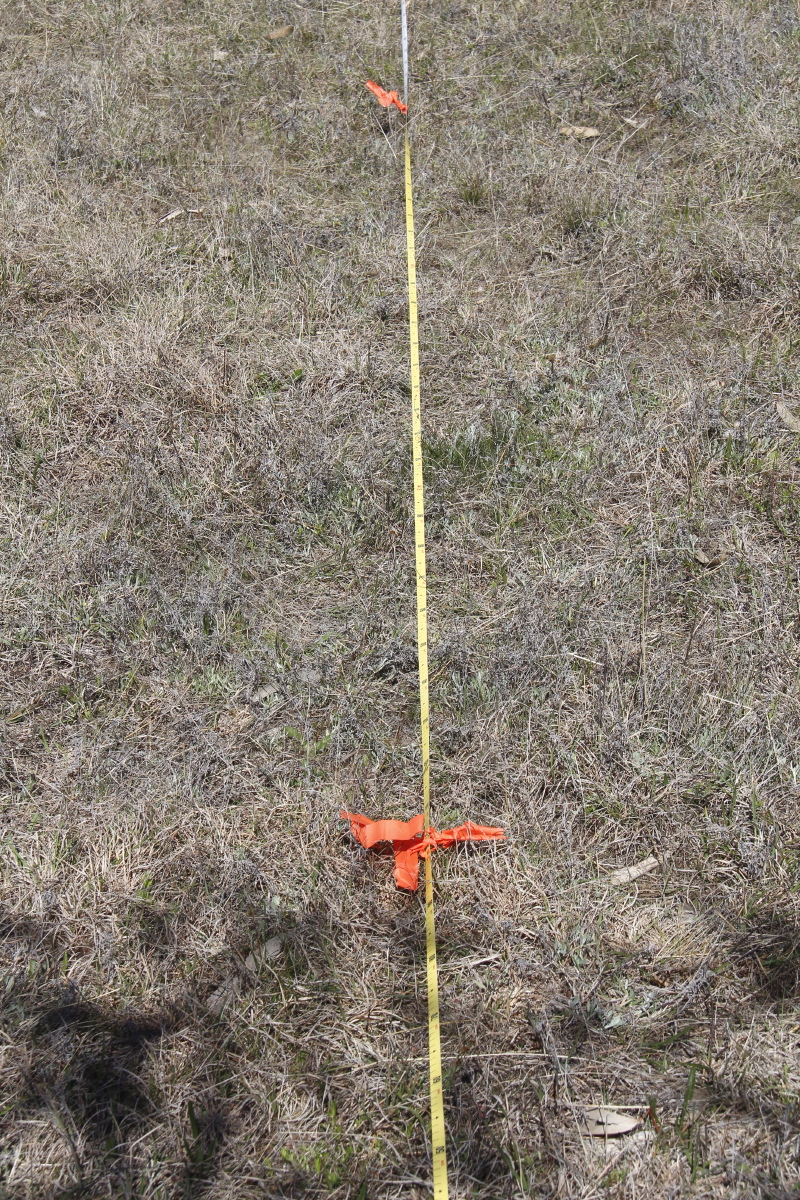
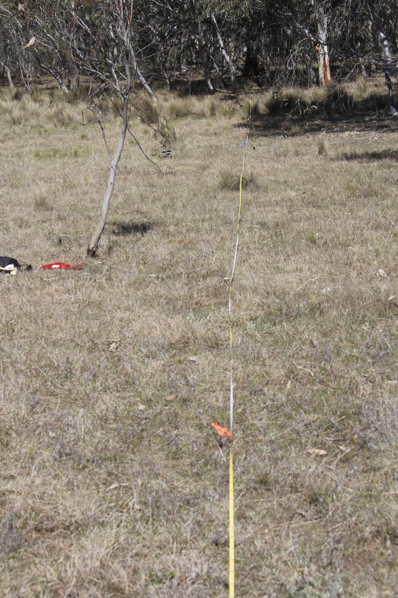
Positioning Shot
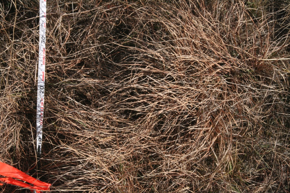
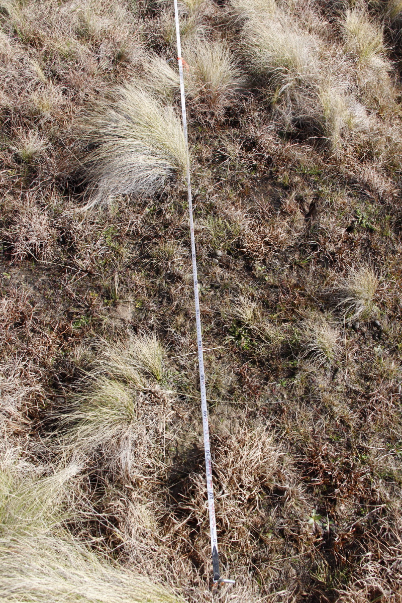
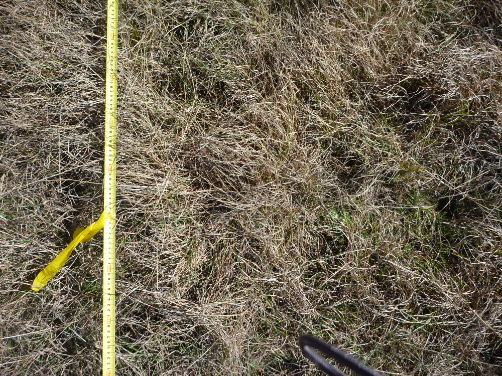
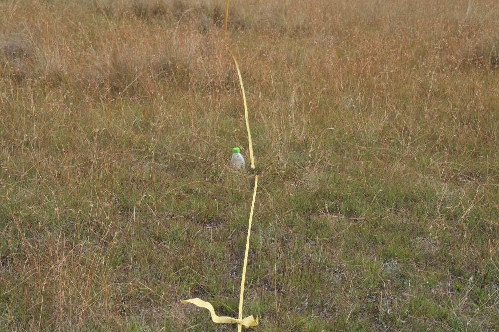
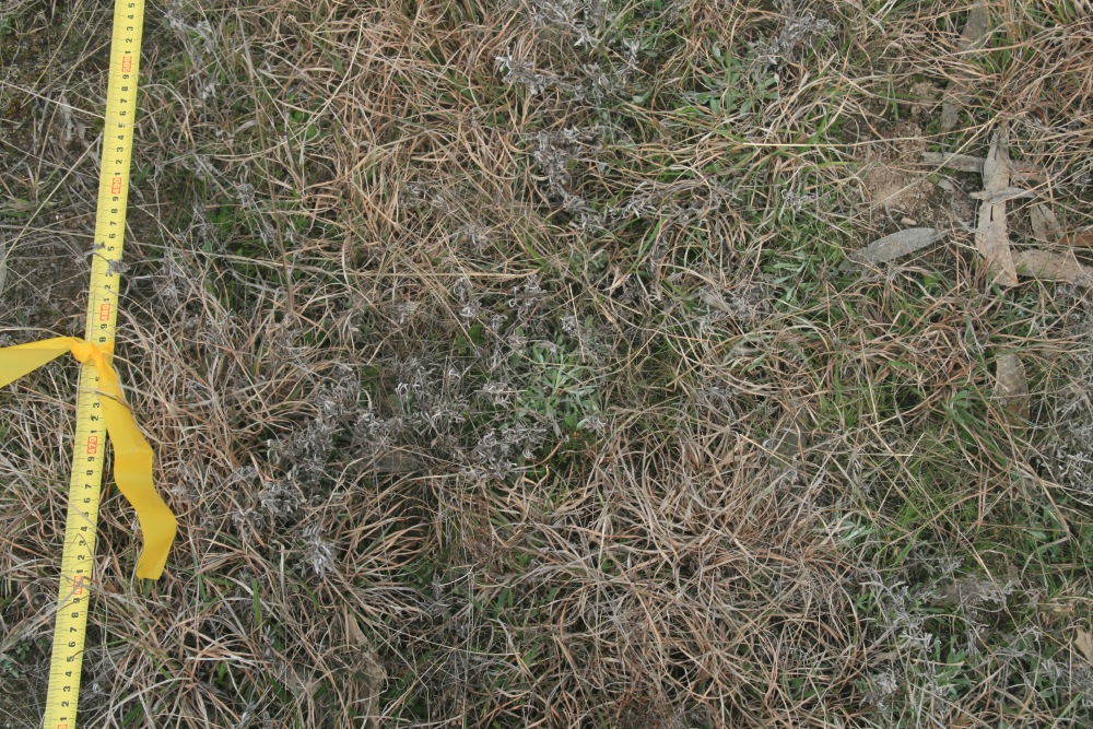
1m-Centred (P)
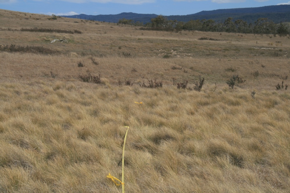
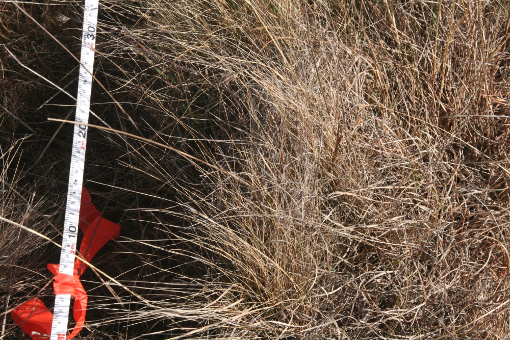
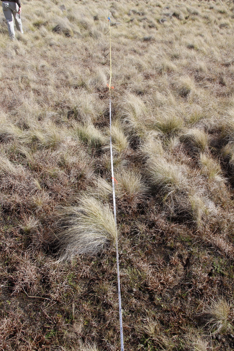
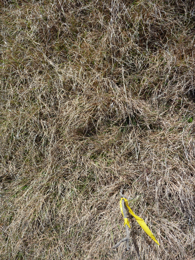
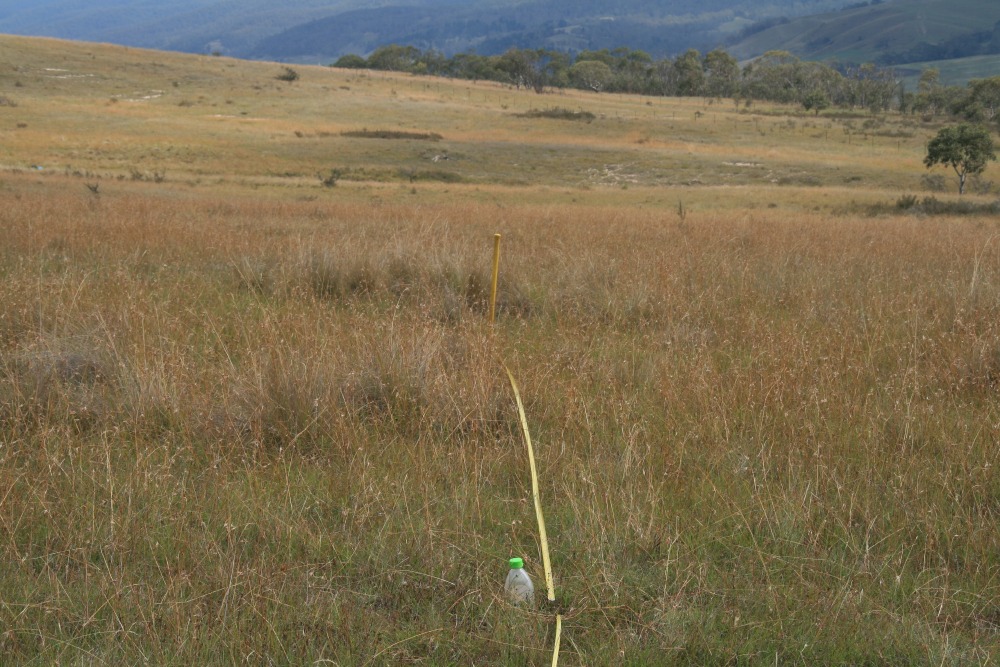
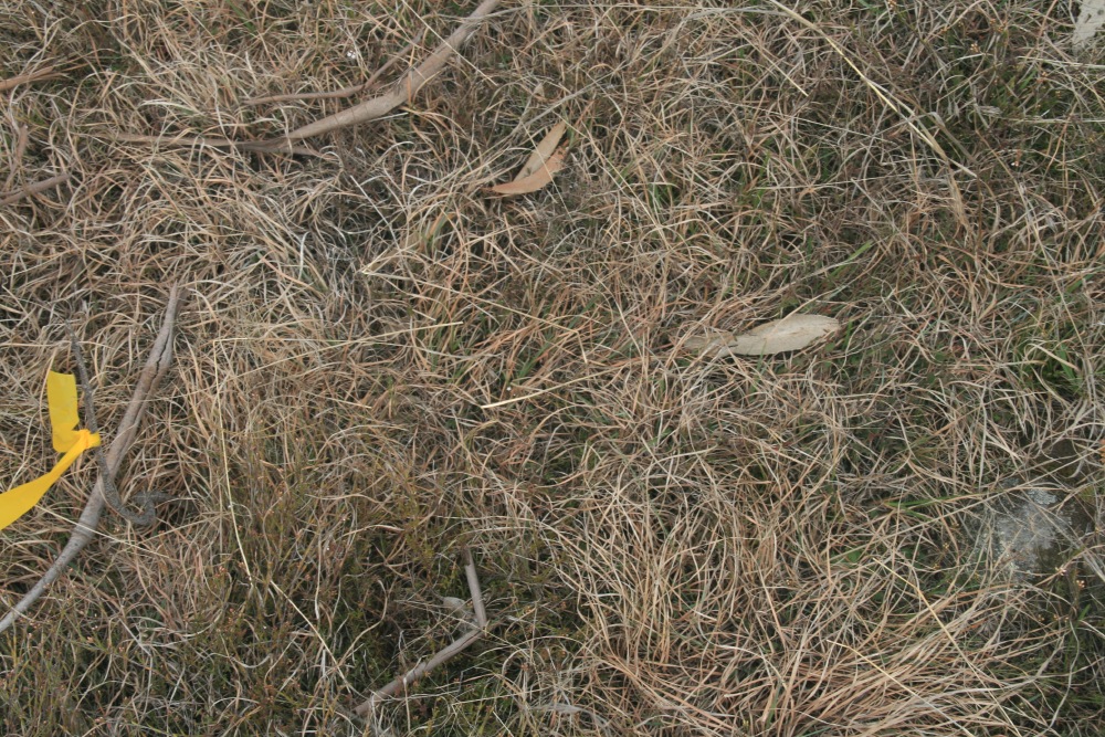
5m-Centred (P)
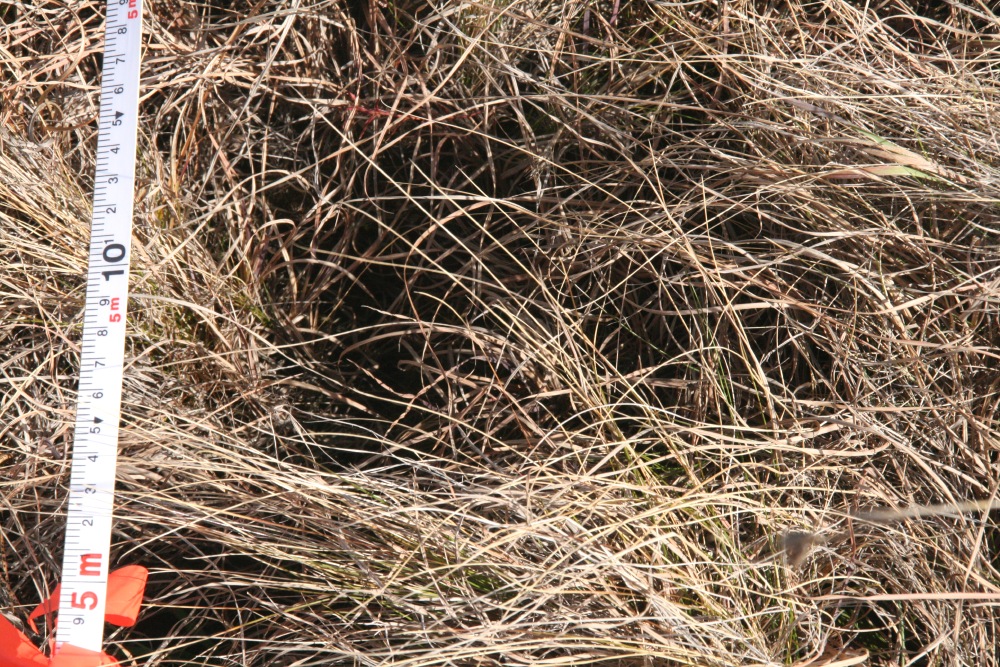
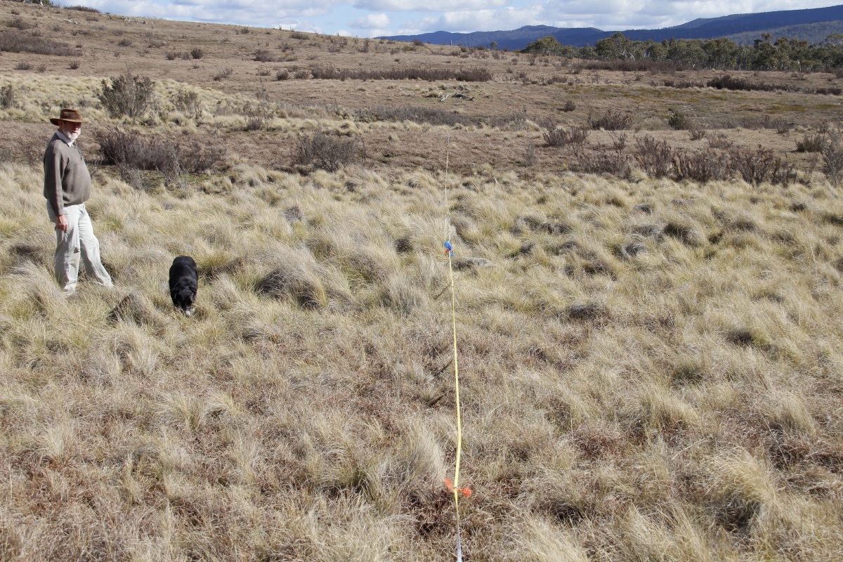
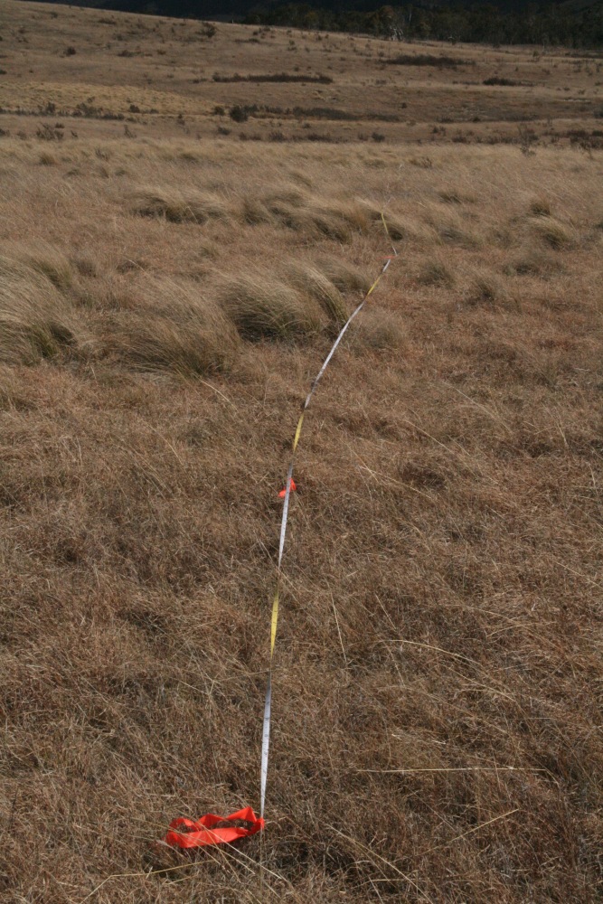
15m-Centred (P)

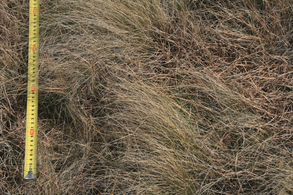
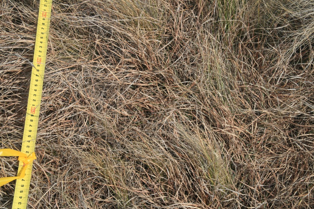
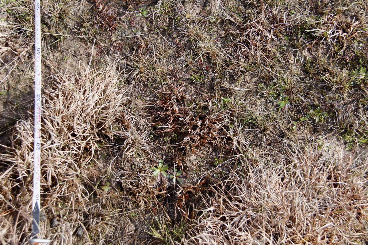
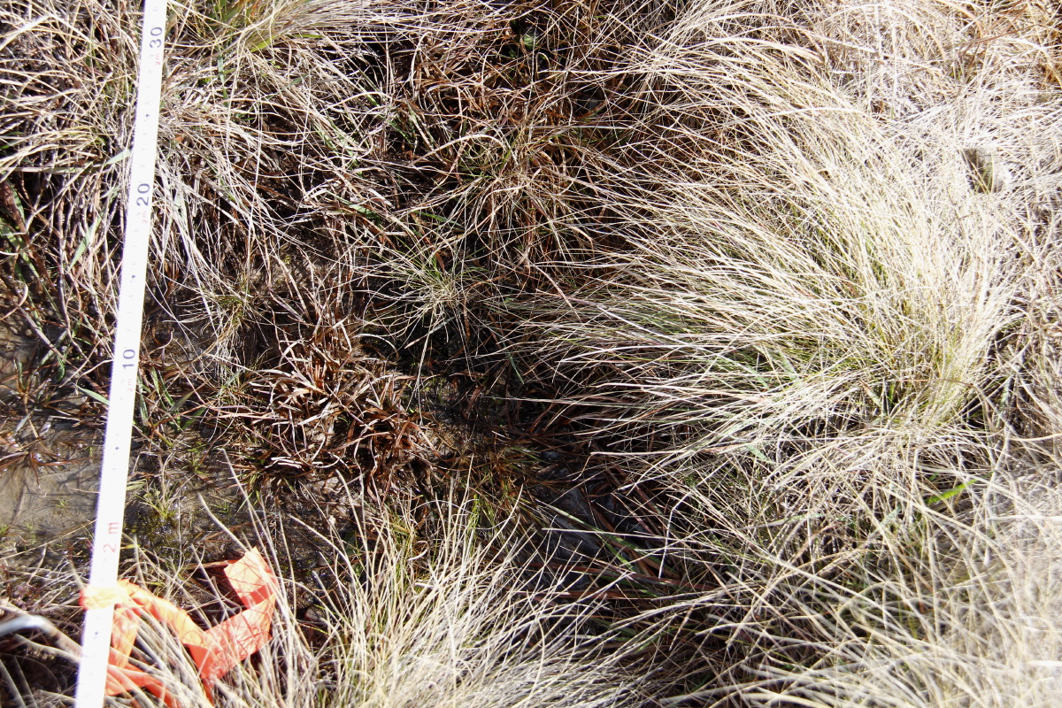
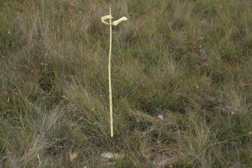
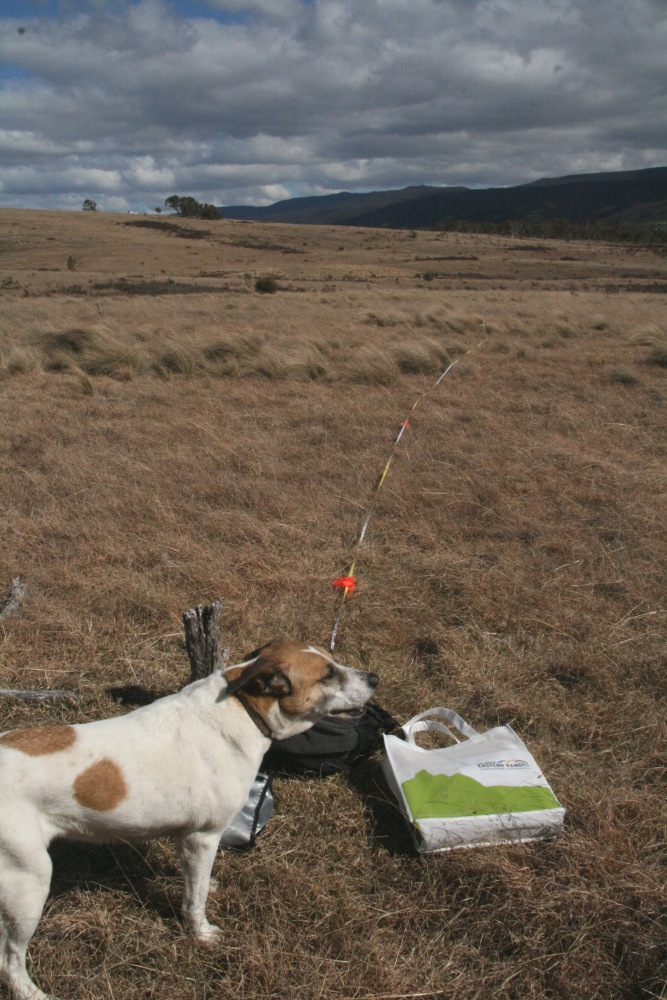
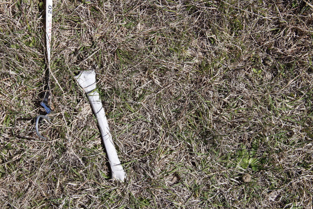
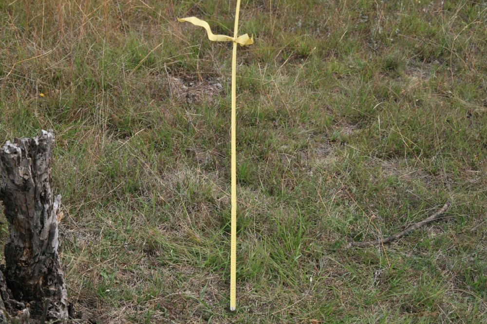
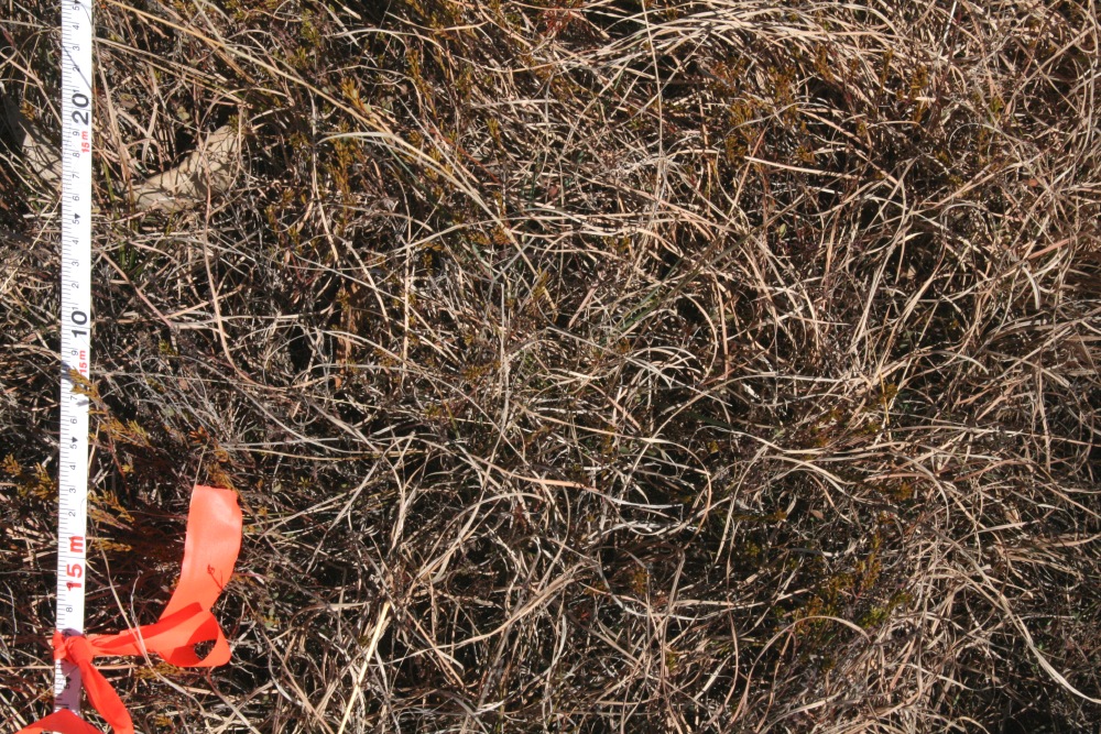
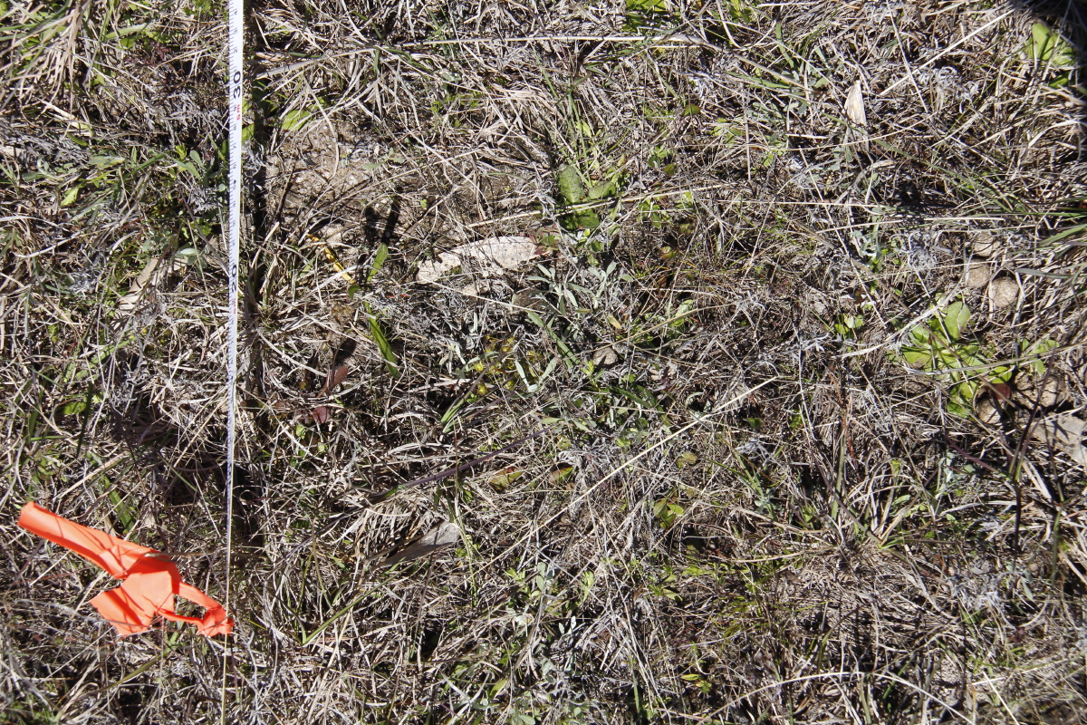
0m Vertical
This is a page within Roger and Linda's
Bunhybee Grasslands Web-Site.
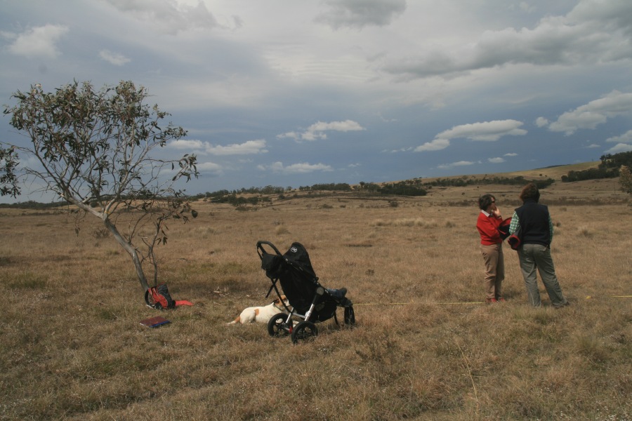
Bunhybee Grasslands is a 49 hectare / 120
acre conservation property 35km south of Braidwood, in southern N.S.W.
You can
follow through the internal links, or you may find it easier to use the Site-Map.
Photo-Points are a key tool to assist in monitoring the status of species and plant communities.
This page contains the following materials:
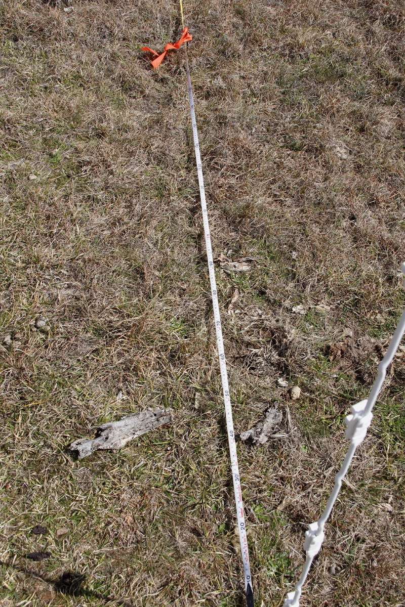
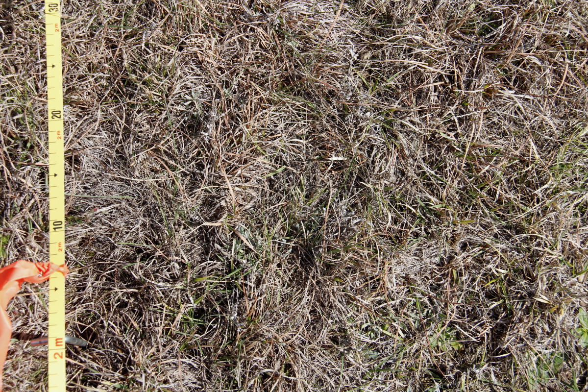
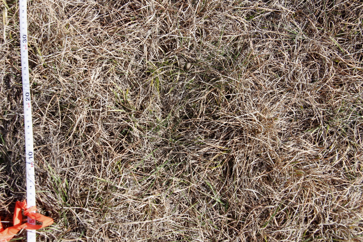
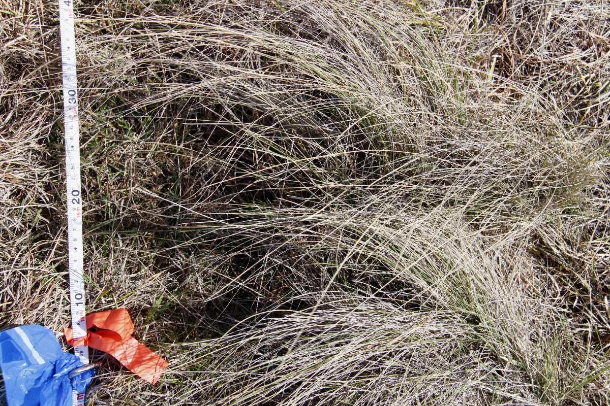
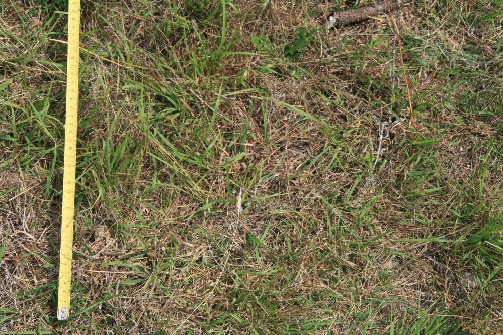
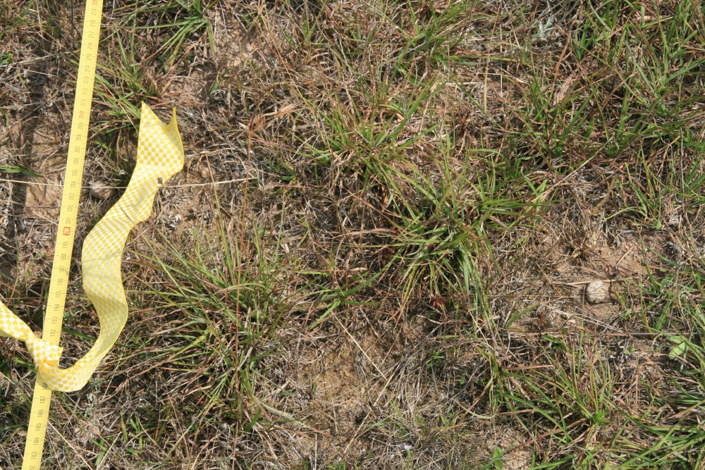
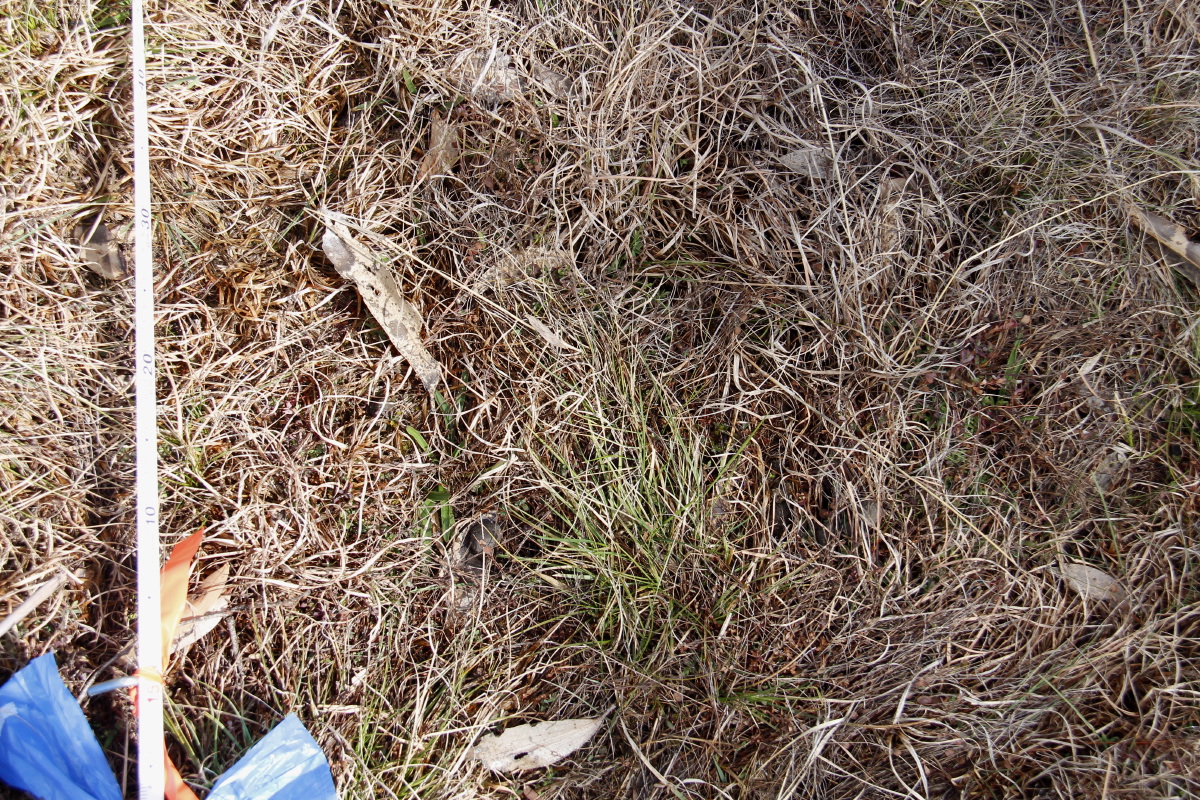
A Photo-Point is a location at which photographs are taken at regular intervals, in order to assist in assessments of change in groundcover.
A Photo-Point involves a tightly-defined location, and tightly-defined angles of view.
The intervals at which photos are taken need to be at least biennial / 2-yearly, although seasonal observations are valuable as well.
To be effective, the photographs taken on successive occasions need to be comparable, i.e. taken of the same set of small areas, at similar times of year, from the same angles, with similar camera-settings.
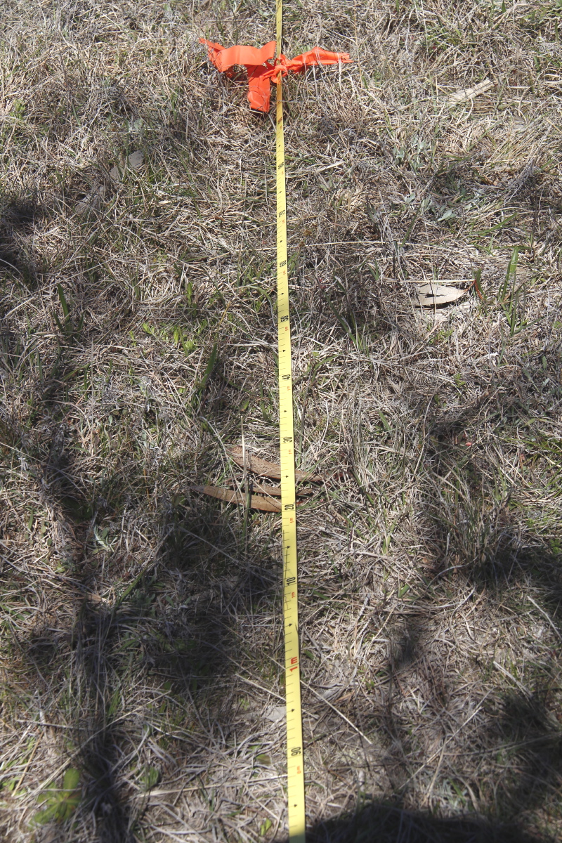
The capture of images is best supplemented by Vegetation Monitoring, by which is meant counts of the density of various categories of ground-cover, conducted at specific points along the line of view.
The Bunhybee Plan of Management requires that several locations be established. Two were established by NCT's Nicky Bruce in 2008, prior to us purchasing the property. Details are in the Plan of Management at Appendix A, pp. 33-39 (here – 7.4MB). A third was established by Nicky and ourselves in 2010.
The method to establish a Photo-Point is as follows:
The basic method of taking photos is:
The refinements we've made to the basic method are as follows:
Each time we take photos, we complement them with our own variant of vegetation monitoring.
Briefly, the method is:
Here are our own:
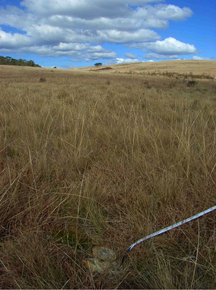
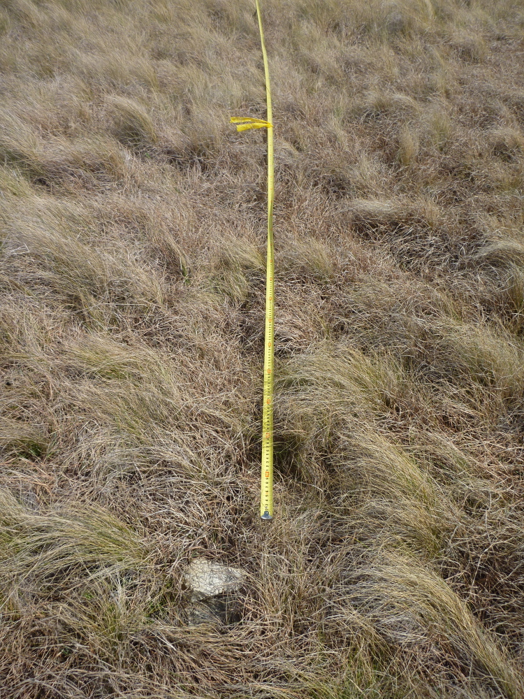
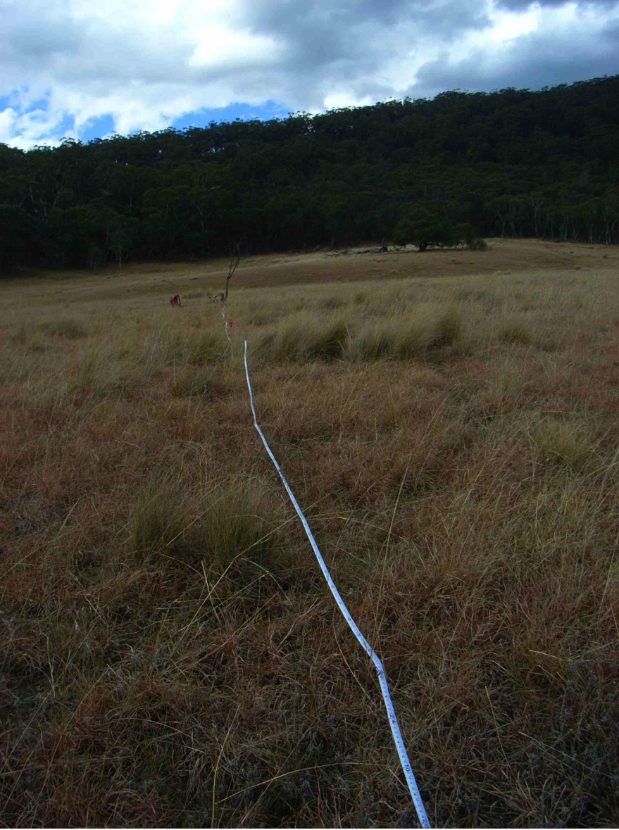
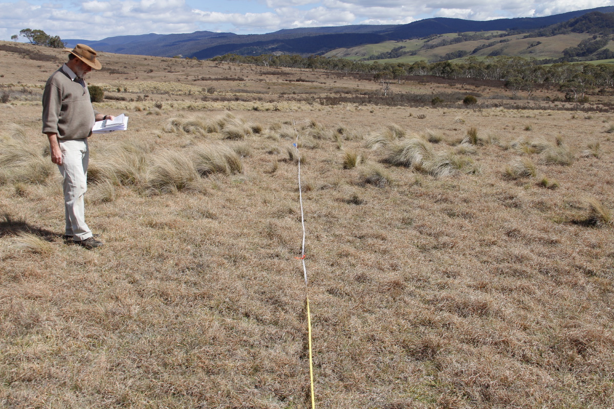
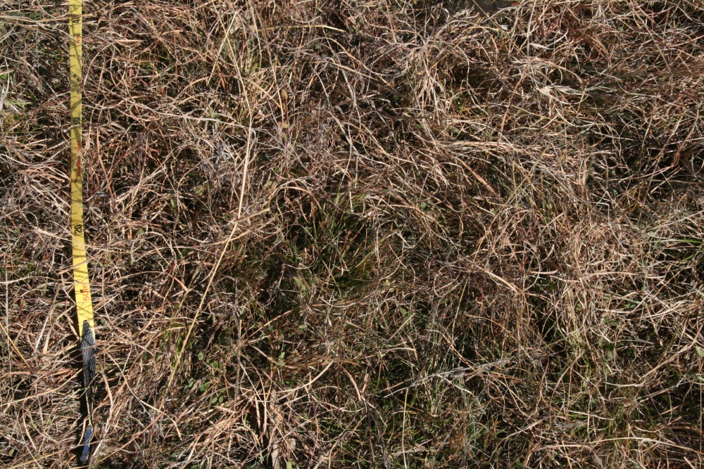
Wet Natural Temperate Grassland of the Southern Tablelands Community
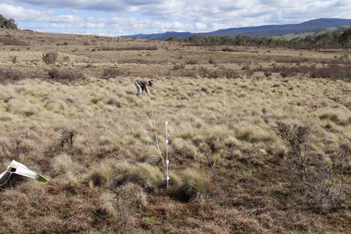
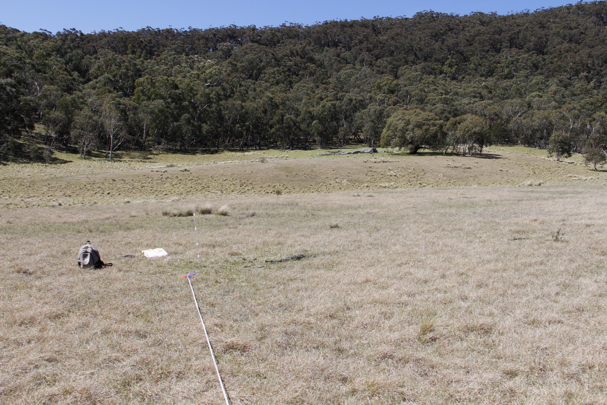
This is in the northern Lot, 50m NNW of the main dam
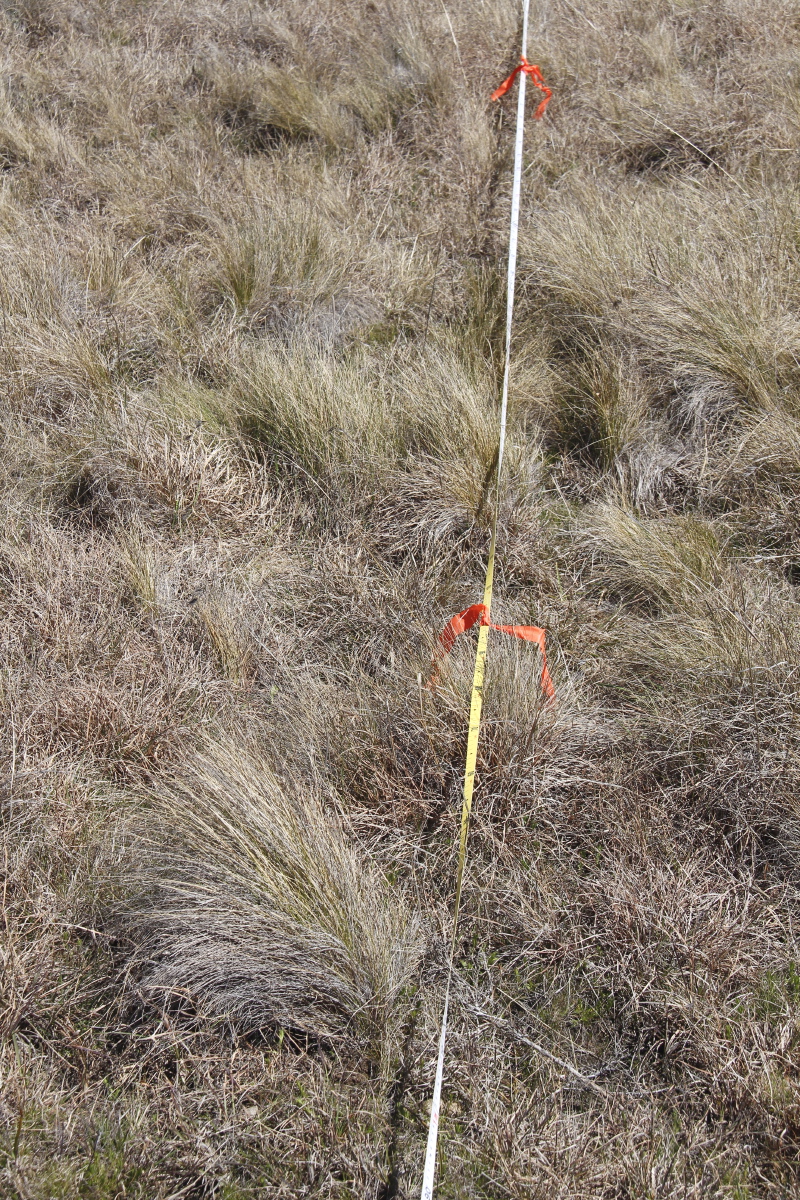
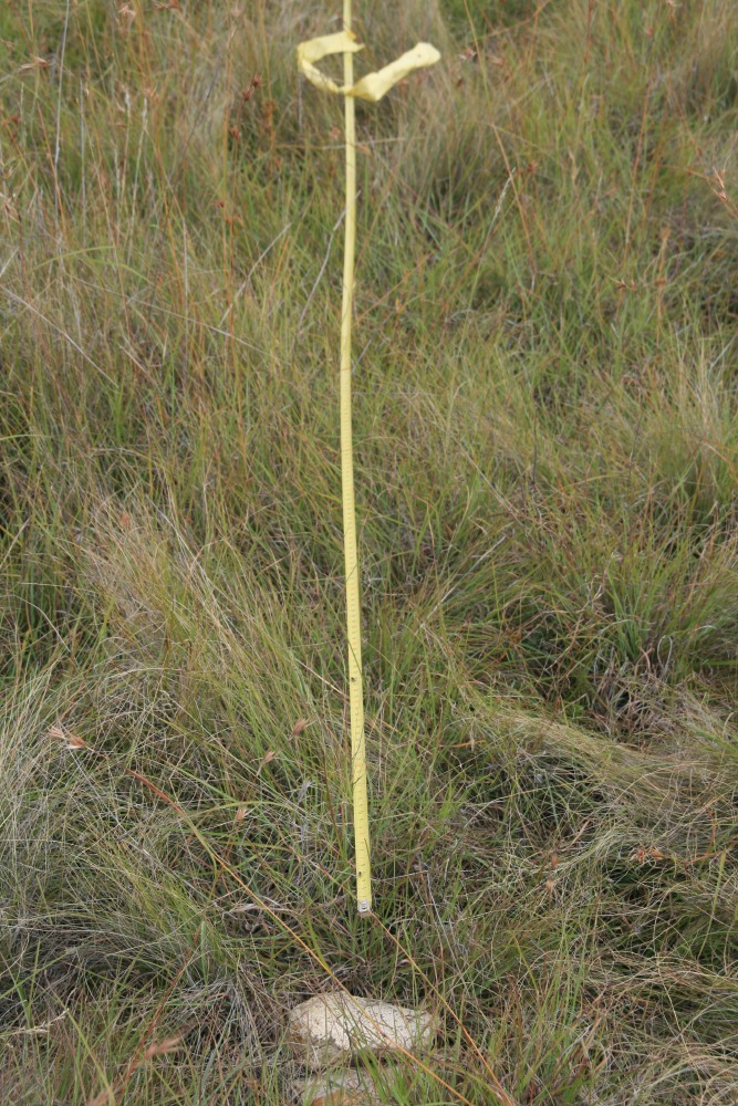
The point-of-origin is marked by a white stake (originally
by two flat stones, now lost).
NCT:
GDA '94 MGA: Northing 6049509, Easting 736158, Elevation 733m
Us: GPS on 22 Feb
09: S35 40.204 E 149 36.549 Ht 2393 ft (729m) Accuracy +/- 5.6m
Originally, Northing 6049509, Easting 736159 (Waypoint 11) – used 2008 and 2010 only
2000-09 was a prolonged drought, with 77% of the long-term average rainfall. The winter preceding these shots (4 months, May-Aug) was very dry, with 100mm cf. almost 200mm long-term. For the details see our Rainfall page.
|
|
|
|
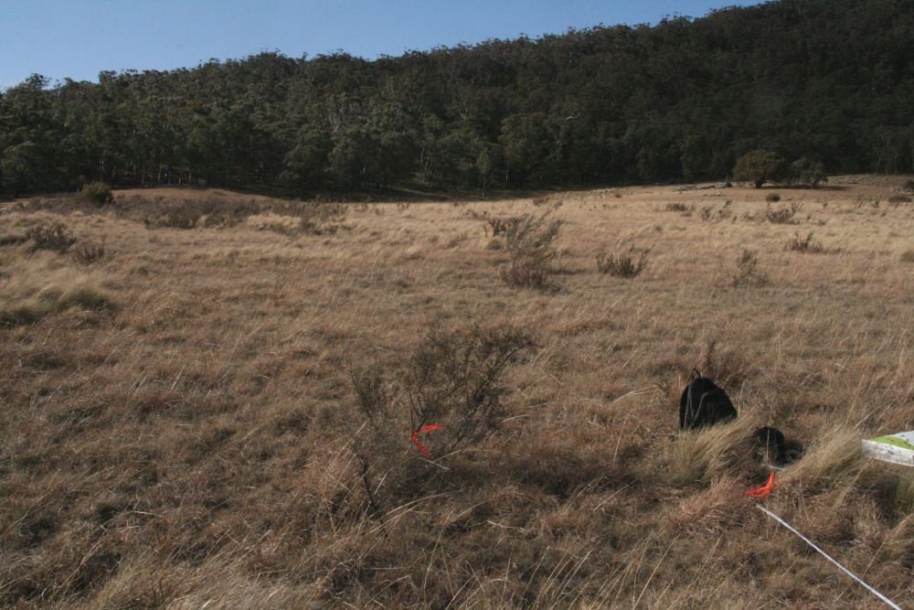
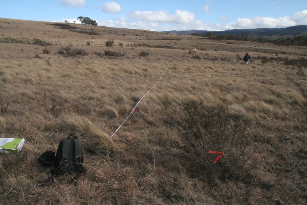
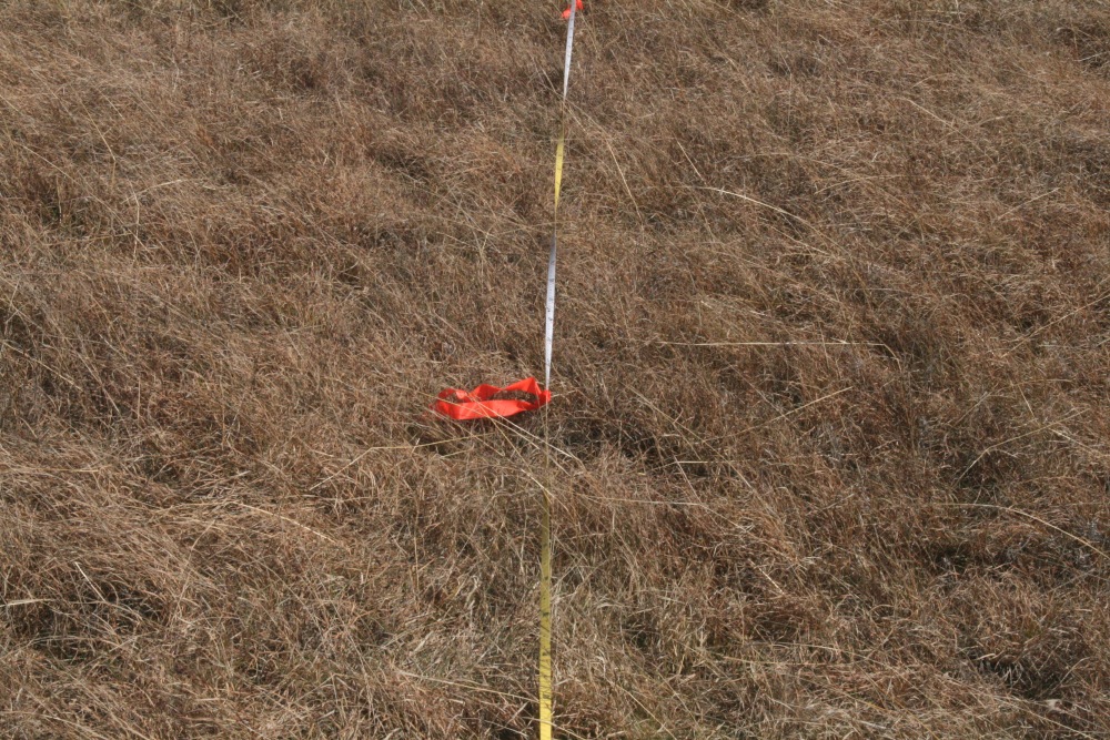
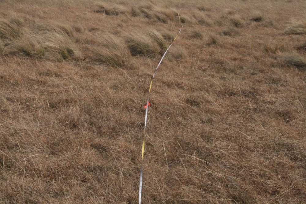
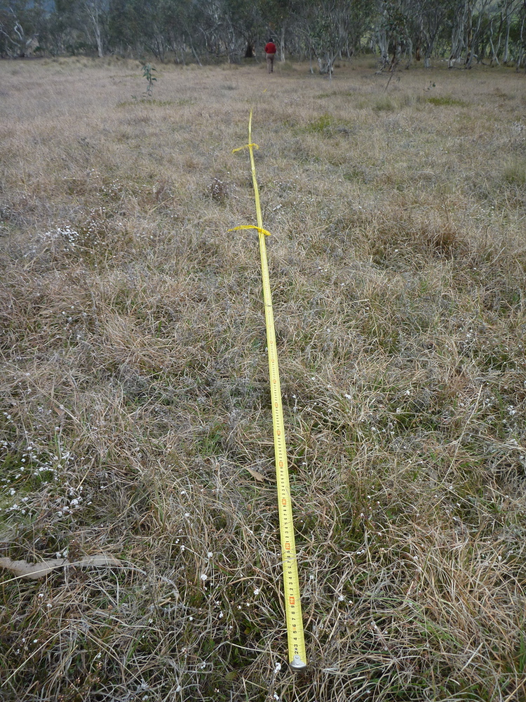
Positioning Shot |
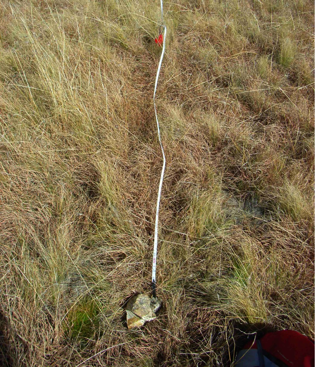
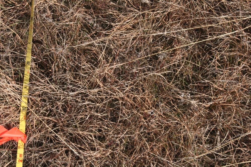
1m-Centred (P) |
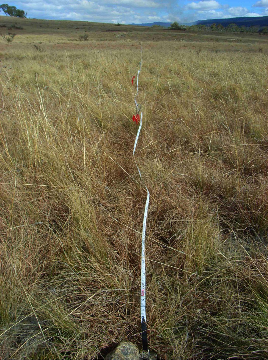
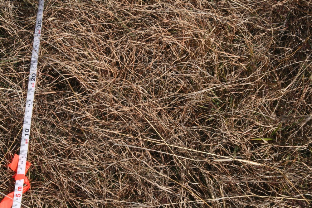
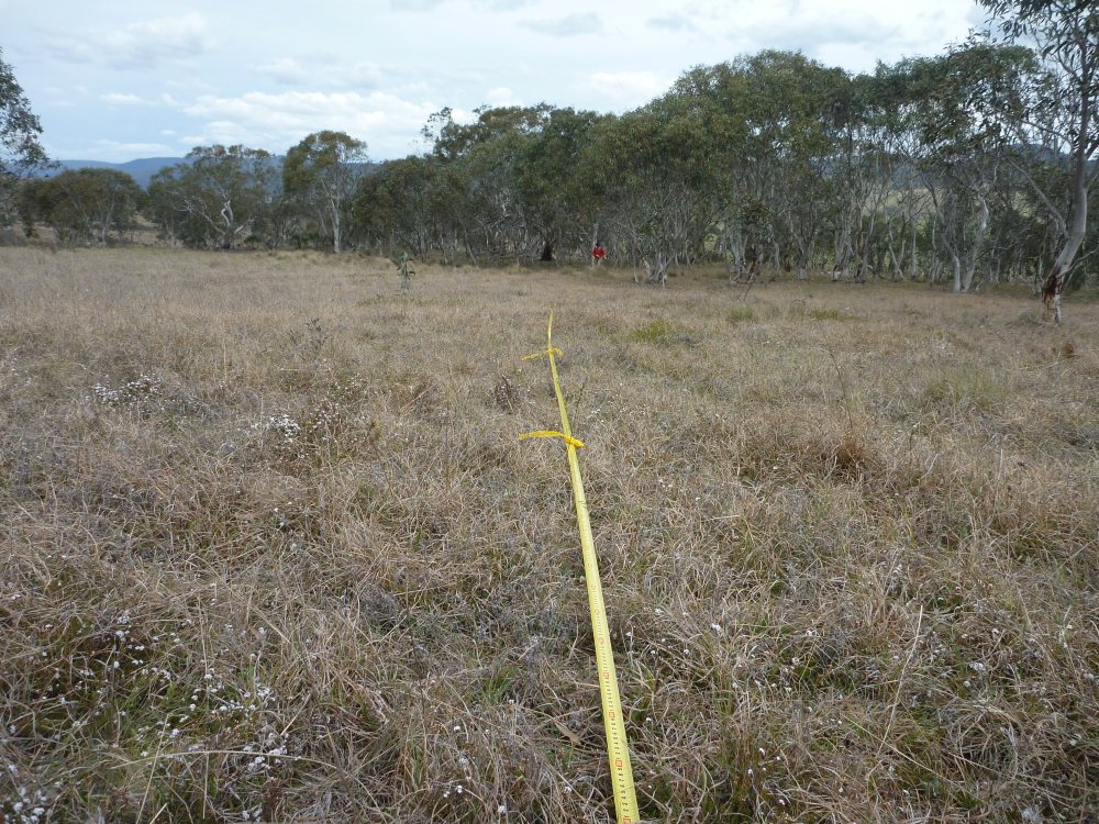
5m-Centred (P) |
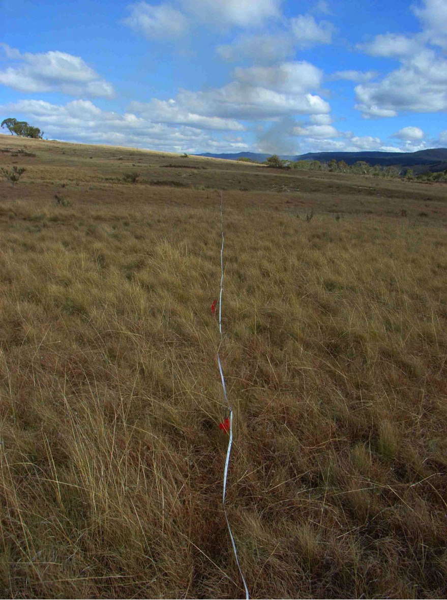
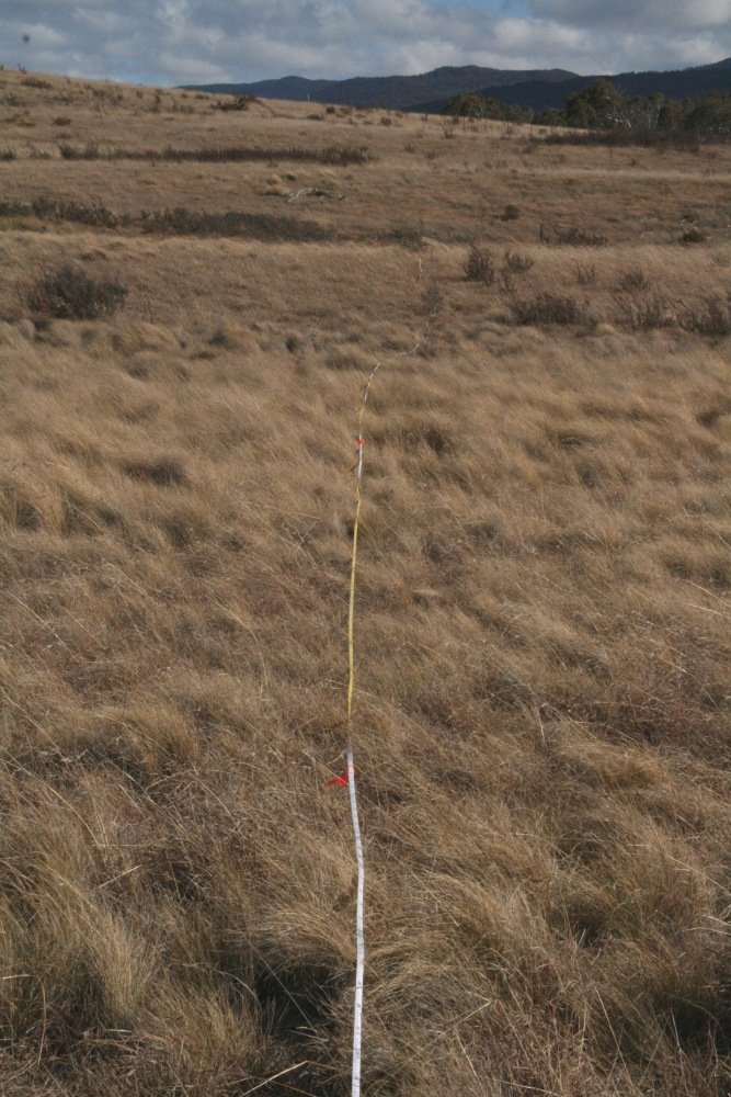
15m-Centred (P) |
|
|||
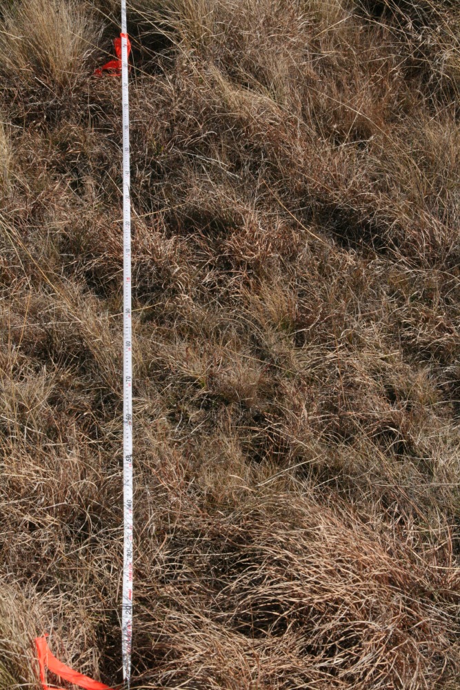
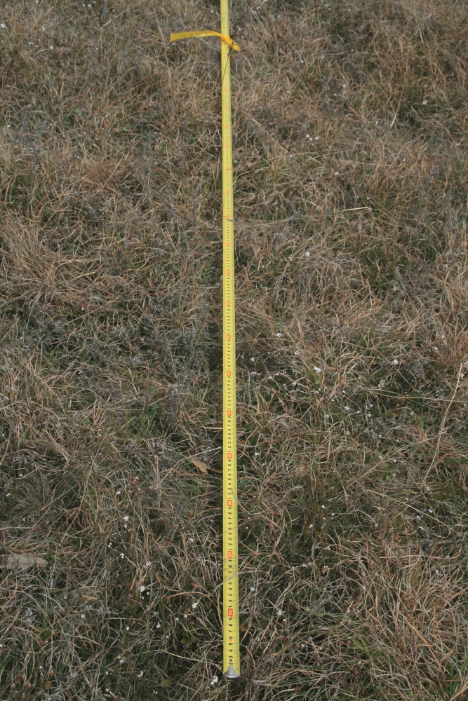
0m Vertical |
 |
 |
 |
|
No Positioning shot taken |
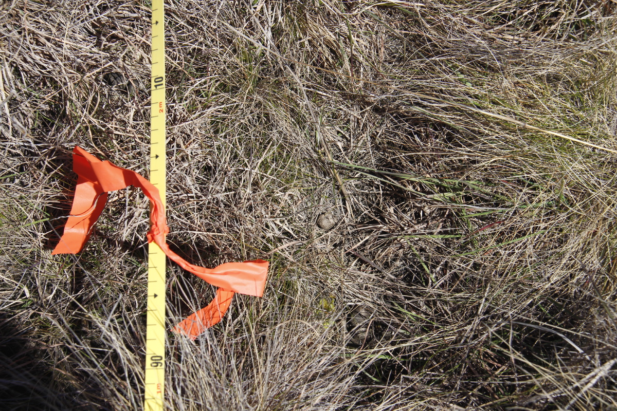
0-1m |
0-5m |
0-15m (P) |
 |
|||
No vertical shot taken |
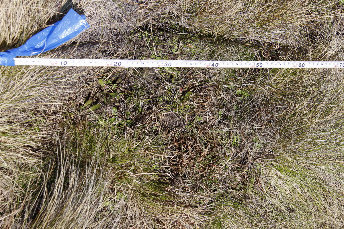
0-15m (L) |
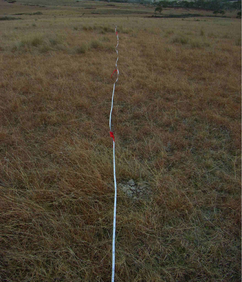
2000-09 was a prolonged drought, with 77% of the long-term average rainfall. The winter preceding these shots (3 months, Jun-Aug) had 120mm cf. 143mm = 84% of average; but May had been a 90%ile month - 119mm cf. 50mm = 238%. For the details see our Rainfall page.
 |
 |
 |
 |
Reverse Shot 28mm, 1/200, F/11 |
1m-Centred (P) |
5m-Centred (P) |
15m-Centred (P) 48mm, 1/250, F/11 |
 |
|||
15m-Centred (L) 48mm, 1/250, F/11 |
|||
 |
 |
 |
 |
0m Vertical 48mm, 1/200, F/11 |
2m Vertical 48mm, 1/200, F/10 |
5m Vertical 48mm, 1/160, F/10 |
15m Vertical 48mm, 1/200, F/10 |
We lost the marker, and re-established as Northing 6049516, Easting 736168
(Waypoint 43).
We later worked out that we'd accidentally moved about 8m NNE – used from 2012
onwards
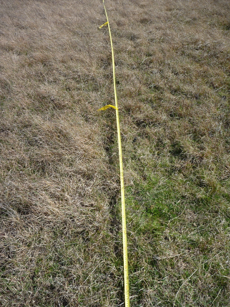
After the drought of 2000-09 broke, the 'land of flooding rains' / El Nina delivered in calendar 2010 a total of 1060mm (140%), followed by in 2011 a total of 816mm (108%), and in 2012 Jan-Jul 640mm (150%). During the preceding 10 months, Feb and Mar had been very wet, and the subsequent months marginally below average. But the water-table was high, the dam full, the water-holes in the creek-lines pretty full, and the drainage-lines soft underfoot. For the details see our Rainfall page.
 |
 |
 |
 |
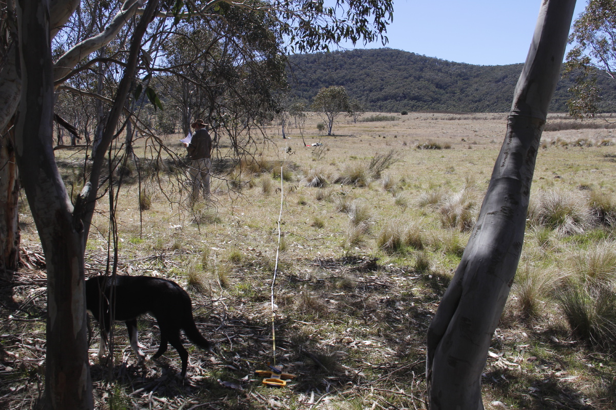
Reverse Shot 24mm, 0.00125, F/20 |
1m-Centred (P) 48mm, .00125, F/20 |
5m-Centred (P) 48mm, .001, F/22 |
15m-Centred (P) 48mm, .001, F/22 |
 |
 |
 |
 |
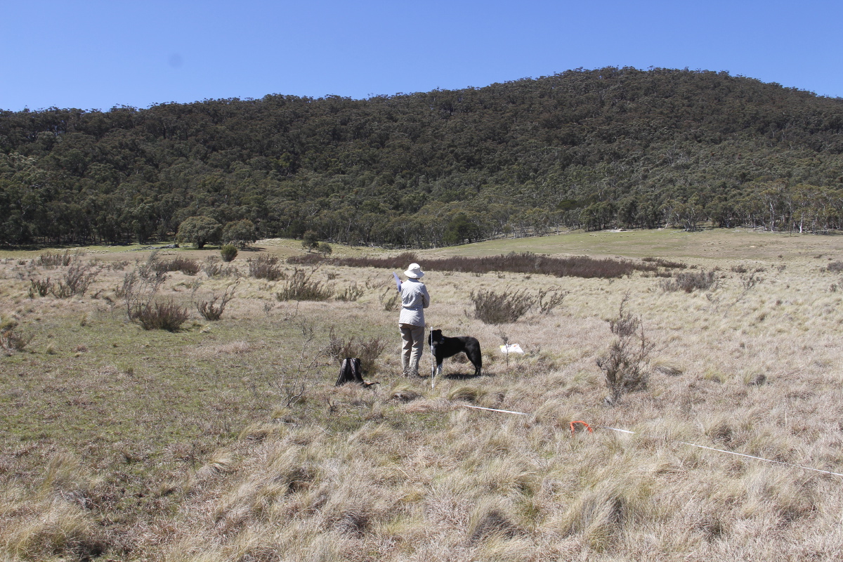
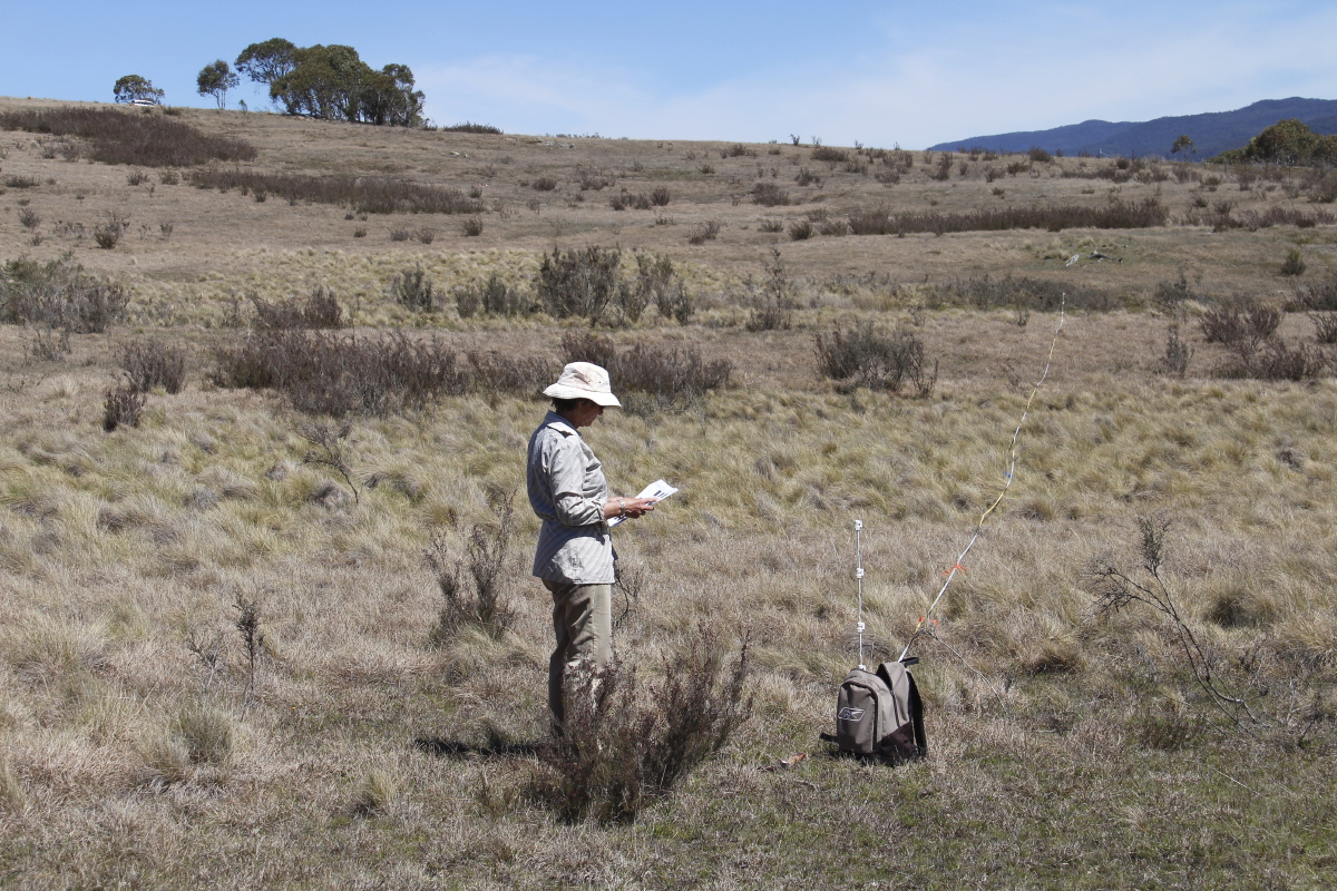
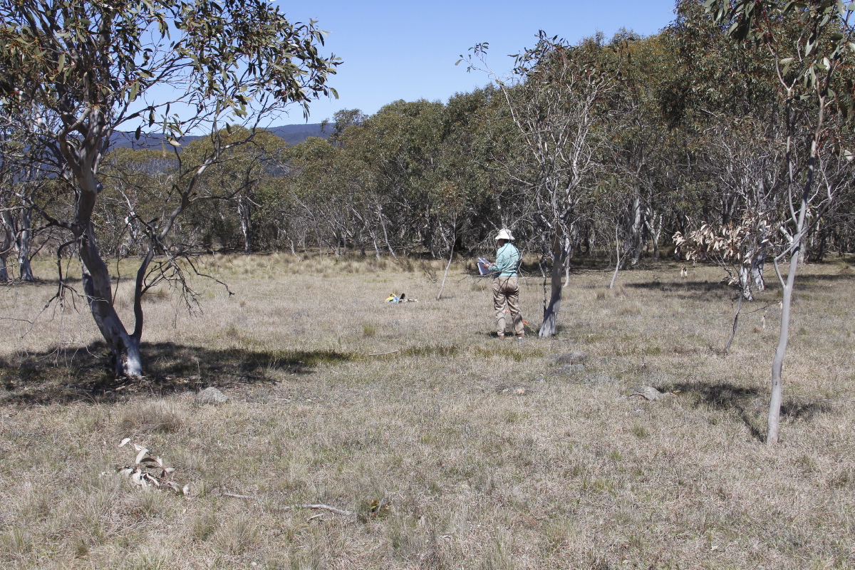
Context |
1m-Centred (L) 24mm, .00125, F/20 |
5m-Centred (L) 48mm, .001, F/22 |
15m-Centred (L) 48mm, .001, F/22 |
 |
 |
 |
 |
0m Vertical 59mm, .001, F/20 |
2m Vertical 59mm, .00125, F/18 |
5m Vertical 106 mm, .00125, F/14 |
15m Vertical 106 mm, .001, F/14 |
Plus an out-of-cycle set of shots:
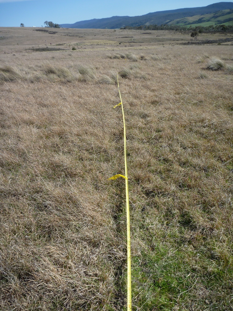
Rain in the 4th qtr of 2012 was marginally below average, but 2013 was 900mm (18% above the long-term average), and 2014 Jan-Aug was 8% above average, with 144mm of it in August. Then there was more heavy rain in the days before we did the Photo-Points, so that the ground was sodden, the dam full and the waterlines all actually running, not just full, plus several springs bursting forth. For the details see our Rainfall page.
 |
 |
 |
 |
Context 28mm, 1/250th, F/9.9 |
1m-Centred (P) 20mm, 1/200th, F/8 |
5m-Centred (P) 20mm, 1/200th, F/9.1 |
15m-Centred (P) 20mm, 1/200th, F/9.1 |
 |
|||
15m-Centred (L) 32mm, 1/250th, F/9.9 |
|||
 |
 |
 |
 |
0m Vertical 40mm, 1/160th, F/6.4 |
2m Vertical 40mm, 1/160th, F/7.0 |
5m Vertical 40mm, 1/200th, F/8.0 |
15m Vertical 40mm, 1/250th, F/9.1 |
We intentionally delayed the reading 3-4 weeks. Spring was a bit late, and we've concluded that there's more information to be had by photographing in early spring than late winter. There was rain in the weeks before we did the Photo-Points, so that the dam and waterlines were full (but no longer flowing much), plus several springs settling down. For the details see our Rainfall page.
 |
 |
||
Backshot 24mm, 1/250th, F/11 |
Context 40mm, 1/400th, F/11 |
||
 |
 |
 |
 |
2m (P) 35mm, 1/320th, F/10 |
5m (P) 50mm, 1/320th, F/10 |
15m (P) 50mm, 1/320th, F/10 |
15m (L) 50mm, 1/320th, F/10 |
 |
 |
 |
 |
0m Vertical 50mm, 1/320th, F/10 |
2m Vertical 50mm, 1/320th, F/10 |
5m Vertical 50mm, 1/400th, F/11 |
15m Vertical 50mm, 1/320th, F/11 |
2000-09 was a prolonged drought, with 77% of the long-term average rainfall. The summer preceding these shots (4 months, Oct-Jan) was dead-average, however, with 272mm. For the details see our Rainfall page.
 |
 |
 |
|
1m-Centred (P) |
5m-Centred (P) |
15m-Centred (P) 48mm, 1/125 sec - F/8 |
|
 |
 |
 |
|
1m-Centred (L) 59mm, 1/500 sec - F/5 |
5m-Centred (L) 59mm, 1/500 sec - F/5 |
15m-Centred (L) 59mm, 1/500 sec - F/5 |
|
 |
 |
 |
 |
0m Vertical 59mm, 1/125 sec - F/7.1 |
2m Vertical 59mm, 1/160 sec - F/8 |
5m Vertical 59mm, 1/200 sec - F/9 |
15m Vertical 59mm, 1/160 sec - F/8 |
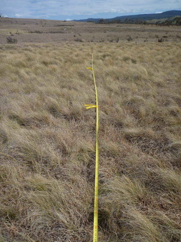
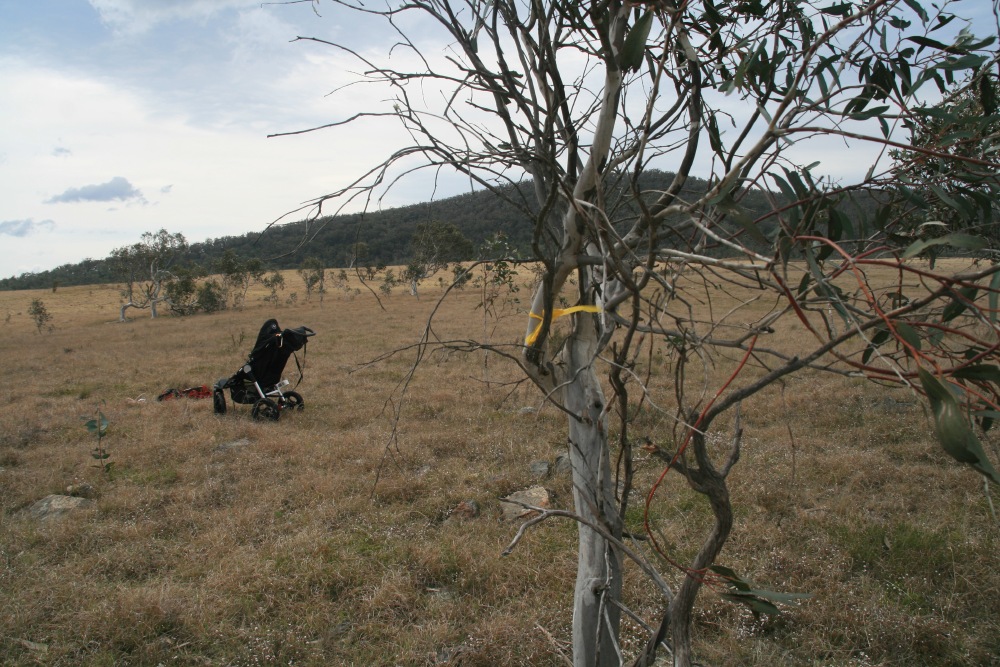
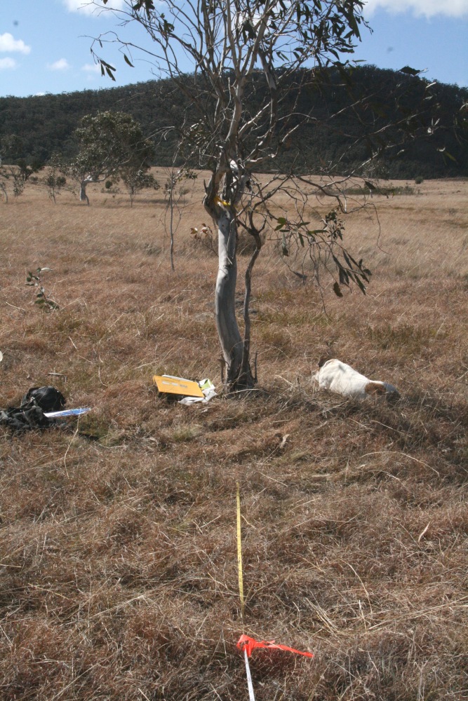
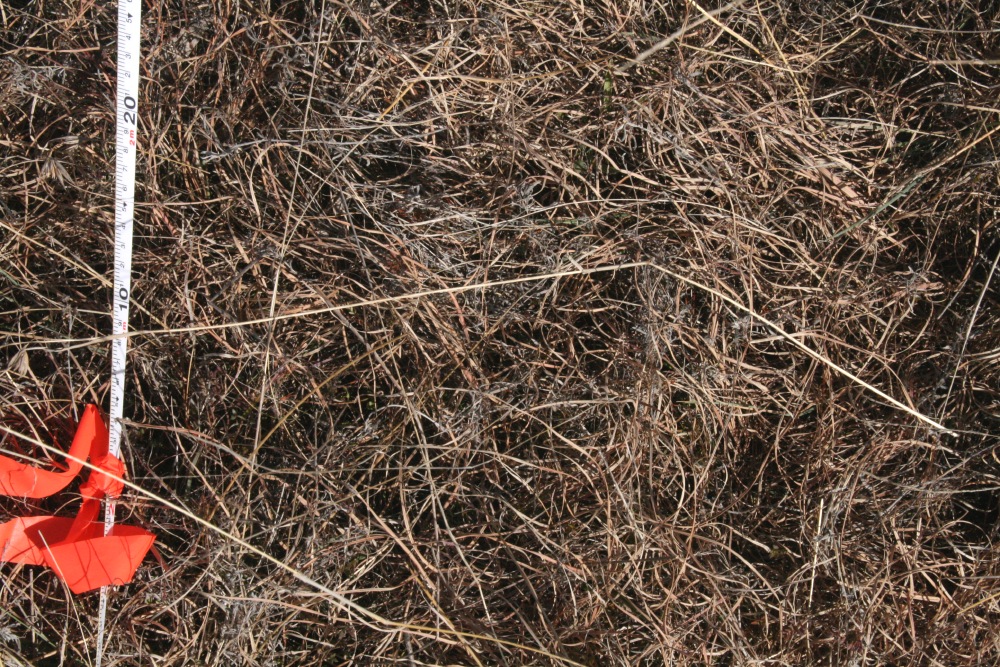
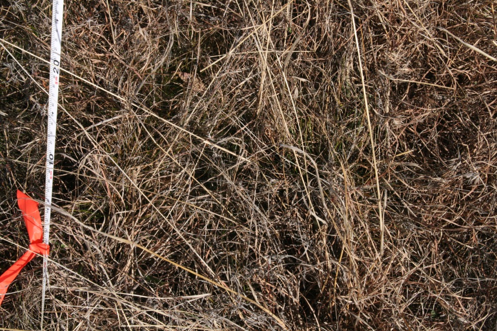
Dry Natural Temperate Grassland of the Southern Tablelands Community
In the northern Lot, 160m north of the main dam, marked by a dead Acacia sapling
(50m south of 3 gums inside the northern boundary, 200m west of a lone wattle
inside the eastern boundary)
To avoid getting the sapling in the picture, start the tape
18" to the right!
NCT: GDA '94 MGA: Northing 6049603, Easting 736261,
Elevation 742m
Us: GPS on 22 Feb 09: S35 40.151 E 149 36.615 Ht 2423 ft (738.5m)
Accuracy +/- 7m
Aim at the peak to the right of the dip to the right of the double-peak.
2000-09 was a prolonged drought, with 77% of the long-term average rainfall. The winter preceding these shots (4 months, May-Aug) was very dry, with 100mm cf. almost 200mm long-term. For the details see our Rainfall page.
 |
 |
 |
 |
Reverse Shot |
1m-Centred (P) |
5m-Centred (P) |
15m-Centred (P) |
2000-09 was a prolonged drought, with 77% of the long-term average rainfall. The winter preceding these shots (3 months, Jun-Aug) had 120mm cf. 143mm = 84% of average; but May had been a 90%ile month - 119mm cf. 50mm = 238%. For the details see our Rainfall page.
 |
 |
 |
|
No reverse shot taken |
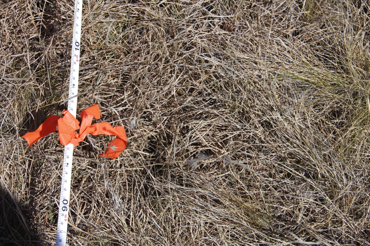
0-2m |
0-5m |
0-15m (P) |
 |
|||
0-15m (L) |
|||
 |
 |
 |
 |
1m Vertical |
2m Vertical |
5m Vertical |
15m Vertical |
After the drought of 2000-09 broke, the 'land of flooding rains' / El Nina delivered in calendar 2010 a total of 1060mm (140%), followed by in 2011 a total of 816mm (108%), and in 2012 Jan-Jul 640mm (150%). During the preceding 10 months, Feb and Mar had been very wet, and the subsequent months marginally below average. But the water-table was high, the dam full, the water-holes in the creek-lines pretty full, and the drainage-lines soft underfoot. For the details see our Rainfall page.
 |
 |
 |
 |
Reverse Shot 40mm, 0.001, F/22 |
1m-Centred (P) 48mm, .001, F/22 |
5m-Centred (P) 48mm, .001, F/22 |
15m-Centred (P) 48mm, .001, F/22 |
 |
 |
|
 |
Context |
1m-Centred (L) 48mm, .001, F/22 |
5m-Centred (L) 48mm, .001, F/22 |
15m-Centred (L) 48mm, .001, F/22 |
 |
 |
 |
 |
0m Vertical 48mm, .00125, F/20 |
2m Vertical 48 mm, .00125, F/20 |
5m Vertical 48 mm, .00125, F/20 |
15m Vertical 59 mm, .001, F/20 |
Rain in the 4th qtr of 2012 was marginally below average, but 2013 was 900mm (18% above the long-term average), and 2014 Jan-Aug was 8% above average, with 144mm of it in August. Then there was more heavy rain in the days before we did the Photo-Points, so that the ground was sodden, the dam full and the waterlines all actually running, not just full, plus several springs bursting forth. For the details see our Rainfall page.
 |
 |
 |
|
1m-Centred (P) 28mm, 1/320th, F/9.9 |
5m-Centred (P) 35mm, 1/250th, F/9.9 |
15m-Centred (P) 24mm, 1/250th, F/9.9 |
|
 |
|||
15m-Centred (L) 24mm, 1/250th, F/9.9 |
|||
 |
 |
 |
 |
0m Vertical 50mm, 1/320th, F/9.1 |
2m Vertical 50mm, 1/250th, F/9.1 |
5m Vertical 40mm, 1/250th, F/9.1 |
15m Vertical 50mm, 1/250th, F/9.1 |
We intentionally delayed the reading 3-4 weeks. Spring was a bit late, and we've concluded that there's more information to be had by photographing in early spring than late winter. There was rain in the weeks before we did the Photo-Points, so that the dam and waterlines were full (but no longer flowing much), plus several springs settling down. For the details see our Rainfall page.
 |
 |
||
Backshot 24mm, 1/250th, F/10 |
Context 35mm, 1/320th, F/10 |
||
 |
 |
 |
 |
2m (P) 50mm, 1/400th, F/11 |
5m (P) 50mm, 1/320th, F/10 |
15m (P) 50mm, 1/320th, F/11 |
15m (L) 50mm, 1/320th, F/10 |
 |
 |
 |
 |
0m Vertical 50mm, 1/320th, F/10 |
2m Vertical 50mm, 1/320th, F/10 |
5m Vertical 50mm, 1/320th, F/11 |
15m Vertical 50mm, 1/400th, F/11 |
2000-09 was a prolonged drought, with 77% of the long-term average rainfall. The summer preceding these shots (4 months, Oct-Jan) was dead-average, however, with 272mm. For the details see our Rainfall page.
 |
 |
 |
|
1m-Centred (P) |
5m-Centred (P) |
15m-Centred (P) 59mm, 1/200 sec - F/9 |
|
 |
 |
 |
|
1m-Centred (L) 59mm, 1/160 sec - F/8 |
5m-Centred (L) 59mm, 1/200 sec - F/8 |
15m-Centred (L) 59mm, 1/200 sec - F/9 |
|
 |
 |
 |
 |
0m Vertical 59mm, 1/200 sec - F/9 |
2m Vertical 59mm, 1/200 sec - F/9 |
5m Vertical 59mm, 1/200 sec - F/9 |
15m Vertical 59mm, 1/200 sec - F/10 |
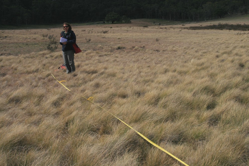
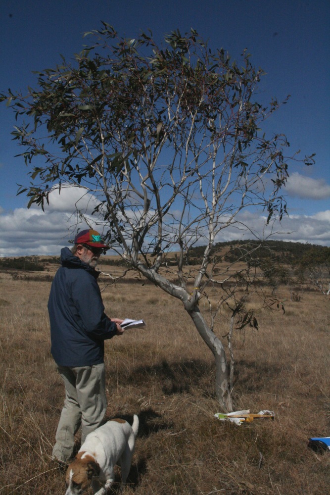
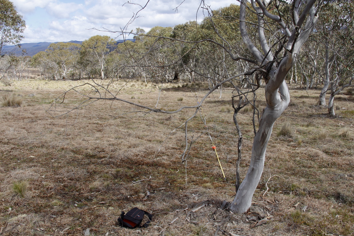
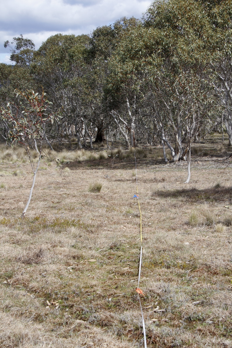
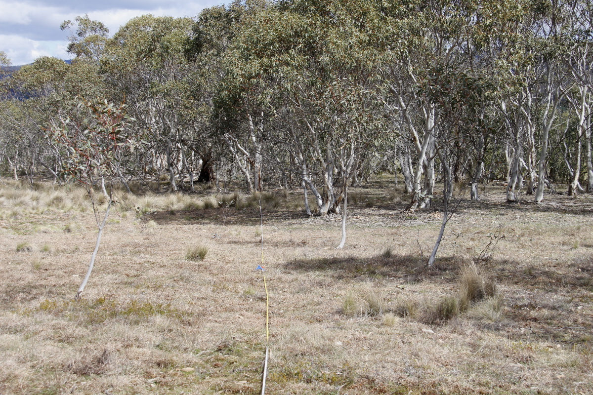
| At the margin of 50% snow-gum cover in the Southern
Tablelands Community And selected only after careful deliberation (see right) |
 |
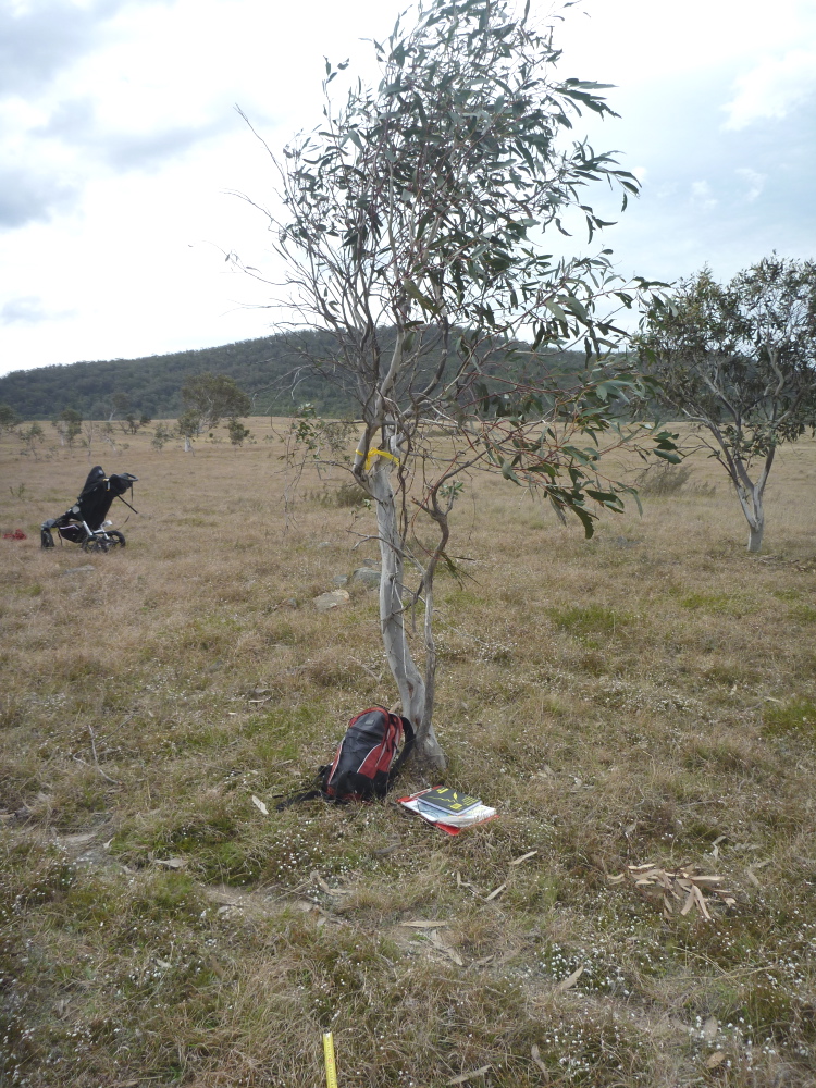
This is in the centre Lot, 100m S of the entrance, marked by a tree.
NCT: GDA '94 MGA: Northing xxxx, Easting xxxx, Elevation xxx
Us: GPS on 27 Sep 2010: Northing 6048935, Easting 0735894, Elevation 739m
2000-09 was a prolonged drought, with 77% of the long-term average rainfall. The winter preceding these shots (3 months, Jun-Aug) had 120mm cf. 143mm = 84% of average; but May had been a 90%ile month - 119mm cf. 50mm = 238%. For the details see our Rainfall page.
 |
 |
 |
 |
Reverse Shot Peg 1m SSW of Tree |
0-2m
|
0-5m |
0-15m |
 |
|||
0-15m (L) |
 |
 |
 |
 |
Reverse Shot 18mm, 1/200, F/8 |
1m-Centred (P) |
5m-Centred (P) |
15m-Centred (P) 33mm, 1/200, F/10 |
 |
|||
15m-Centred (L) 33mm, 1/160, F/10 |
|||
 |
 |
 |
 |
0m Vertical 33mm, 1/125, F/9 |
2m Vertical 33mm, 1/125, F/9 |
5m Vertical 33mm, 1/125, F/9 |
15m Vertical 33mm, 1/125, F/9 |
After the drought of 2000-09 broke, the 'land of flooding rains' / El Nina delivered in calendar 2010 a total of 1060mm (140%), followed by in 2011 a total of 816mm (108%), and in 2012 Jan-Jul 640mm (150%). During the preceding 10 months, Feb and Mar had been very wet, and the subsequent months marginally below average. But the water-table was high, the dam full, the water-holes in the creek-lines pretty full, and the drainage-lines soft underfoot. For the details see our Rainfall page.
 |
 |
 |
 |
Reverse Shot 28mm, 0.0015625, F/20 |
1m-Centred (P) 33mm, .00125, F/22 |
5m-Centred (P) 33 mm, .00125, F/22 |
15m-Centred (P) 33mm, .00125, F/22 |
 |
 |
 |
|
Context |
Replacement Tie on the Tree, as the previous one was bursting |
15m-Centred (L) 33 mm, .00125, F/22 |
|
 |
 |
 |
 |
0m Vertical 40mm, .0015625, F/18 |
2m Vertical 40 mm, .00125, F/20 |
5m Vertical 40 mm, .00125, F/20 |
15m Vertical 48 mm, .00125, F/20 |
Rain in the 4th qtr of 2012 was marginally below average, but 2013 was 900mm (18% above the long-term average), and 2014 Jan-Aug was 8% above average, with 144mm of it in August. Then there was more heavy rain in the days before we did the Photo-Points, so that the ground was sodden, the dam full and the waterlines all actually running, not just full, plus several springs bursting forth. For the details see our Rainfall page.
 |
 |
 |
 |
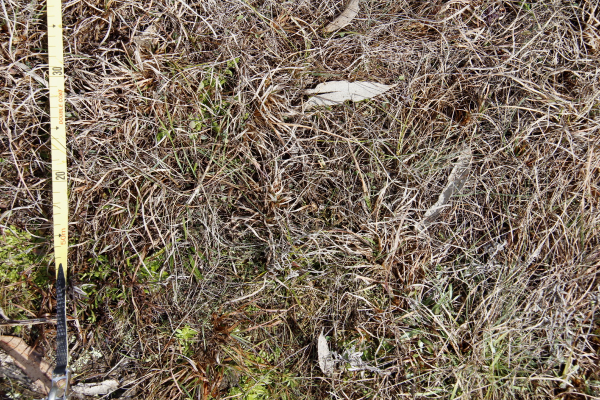
Context 20mm, 1/200th, F/9.1 |
1m-Centred (P) 32mm, 1/200th, F/8.0 |
5m-Centred (P) 20mm, 1/250th, F/9.9 |
15m-Centred (P) 40mm, 1/250th, F/9.1 |
 |
|||
15m-Centred (L) 35mm, 1/250th, F/8.0 |
|||
 |
 |
 |
 |
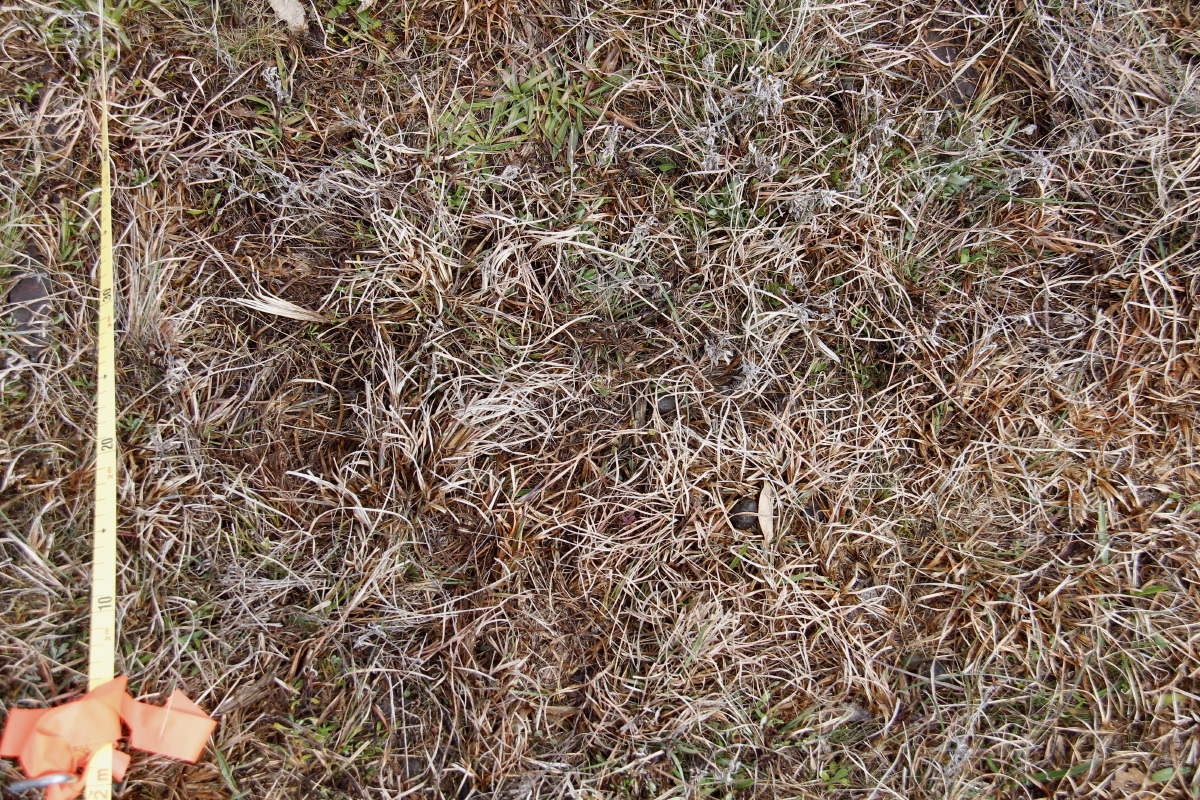
0m Vertical 50mm, 1/250th, F/9.1 |
2m Vertical 35mm, 1/125th, F/7.0 |
5m Vertical 35mm, 1/200th, F/7.0 |
15m Vertical 35mm, 1/160th, F/7.0 |
We intentionally delayed the reading 3-4 weeks. Spring was a bit late, and we've concluded that there's more information to be had by photographing in early spring than late winter. There was rain in the weeks before we did the Photo-Points, so that the dam and waterlines were full (but no longer flowing much), plus several springs settling down. For the details see our Rainfall page.
 |
 |
 |
|
Backshot 40mm, 1/320th, F/9 |
Context 28mm, 1/320th, F/10 |
Context 20mm, 1/250th, F/10 |
|
 |
 |
 |
 |
2m (P) 60mm, 1/400th, F/10 |
5m (P) 50mm, 1/320th, F/10 |
15m (P) 50mm, 1/400th, F/10 |
15m (L) 50mm, 1/400th, F/10 |
 |
 |
 |
 |
0m Vertical 50mm, 1/400th, F/8 |
2m Vertical 50mm, 1/320th, F/10 |
5m Vertical 50mm, 1/320th, F/10 |
15m Vertical 50mm, 1/320th, F/10 |
This is a page within the Bunhybee Grasslands Web-Site, home-page
here, and site-map here
Contact: Linda or Roger
Created: 23 February 2009; Last Amended: 29 November 2014, 16 October 2016